Published September 11, 2020 10:05PM
Mammoth Crest Loop
Pack a summer of views into one weekend.
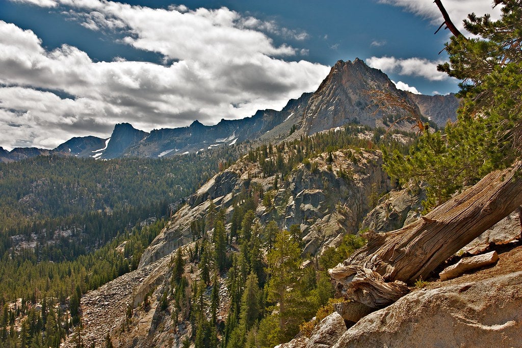
Don’t let the easy access fool you. This 15-mile loop along pumice-dusted ridgelines on the northern edge of the John Muir Wilderness offers deep-Sierra terrain. The journey requires scrambling and a bit of cross-country routefinding, but rewards the effort with continual views of the Mammoth Basin, Silver Divide, and the brooding Minaret spires.
Start from the southeast edge of Coldwater Creek Campground, five miles south of Mammoth’s Main Street via Lake Mary Road. Follow the Duck Pass Trail along Mammoth Creek, and switchback up to 10,797-foot Duck Pass (mile 4.5). At the pass, turn west along the ridge until it opens onto sandy flats south of Point 3,468. Take the social trail west, then descend over pink granite to Deer Lakes (mile seven) and excellent camping. An obvious trail climbs northwest to Mammoth Crest. At a junction (mile 12.5) go east three miles to close the loop at Lake George. For a spicier route back: Continue north, staying 100 yards west of the divide, plunge-step down a pumice gully at mile 13.4, and go north to intersect the Mammoth Pass Trail, which leads to Horseshoe Lake. From here, it’s 2.2 miles back to the car.
Maps USGS quads Bloody Mountain and Crystal Crag
Info Inyo National Forest Permit required