Published September 20, 2013 03:31PM
Los Angeles: Tongva Peak
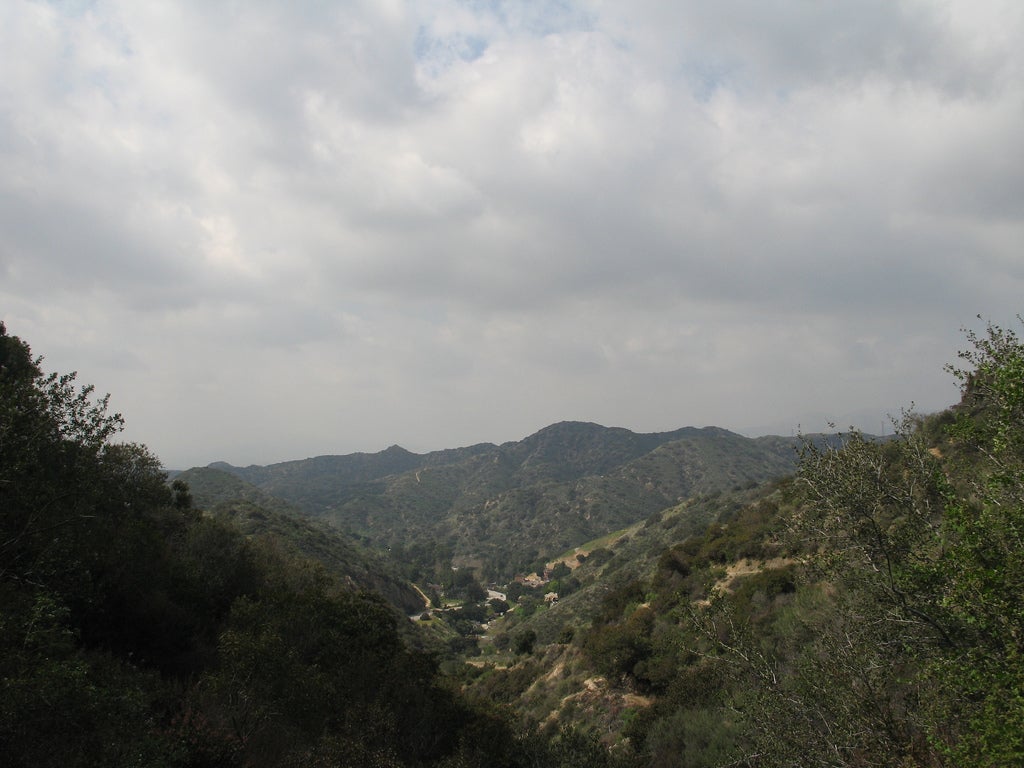
Hike 6 miles to an island of green space nestled in L.A.'s suburbs, then climb steeply to panoramic views of the nearby San Gabriel mountains and the Hollywood Hills.
'grabadonut'
Trail Facts
- Distance: 9.0
Waypoints
TPT001
Location: 34.193546295166, -118.24137878418
Hike SW on paved access road to trailhead
TPT002
Location: 34.1905632019043, -118.242820739746
Turn R @ Y, meandering above Deer Creek
TPT005
Location: 34.1977767944336, -118.254554748535
Trail levels; excellent views of Verdugo and San Gabriel Mtns.
TPT006
Location: 34.1988945007324, -118.259902954102
L @ Y toward pod of radio towers
TPT007
Location: 34.195873260498, -118.259857177734
Tongva Peak (2,656); on clear days, views stretch behind L.A.’s cityscape to lapping ocean
TPT008
Location: 34.1883773803711, -118.256332397461
L @ 4-way onto Beaudry Blvd. South
Quick Fact: Tongva tribesmen once harvested trees from these foothills to hand-build seaworthy wooden rafts big enough to transport 12 people and goods up the coastline
TPT009
Location: 34.1905632019043, -118.242820739746
R @ 3-way Y; backtrack to trailhead
TPT003
Location: 34.1918067932129, -118.253005981445
Trail descends slightly into rocky creekbed
TPT004
Location: 34.1952781677246, -118.257530212402
Trees thin out on steep climb