Los Angeles, CA: Strawberry Peak

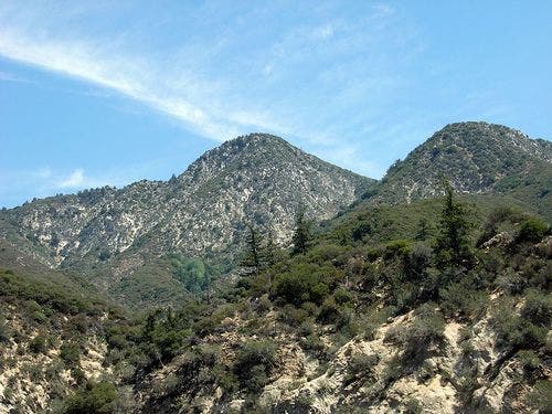
At 6,164 feet, Strawberry Peak isn’t the tallest mountain in Los Angeles, but climbing nearly 5,000 feet over talus, exposed ridges, and vertical cliffs to bag the summit is a test of fitness and will that will leave a lasting impression.
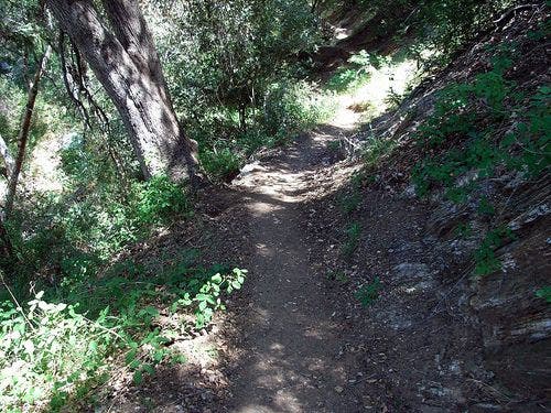
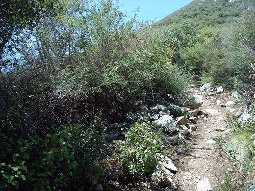
Hike from the bottom of Colby Canyon, river-hopping occasionally across the canyon’s meandering creek. The trail switchbacks through chaparral to Josephine Saddle then circles around Strawberry’s northern slope. Take the unmarked Mountaineer’s Route, a low ridge with a skinny use-trail, to the first of two Class 3 bouldering climbs. After you’ve conquered the first rock wall, walk through thorny bushes, rockslide debris, and fields of jagged boulders to the second scrambling section: Strawberry Peak’s western face is a 500-foot nearly vertical climb with extremely steep drop-offs.
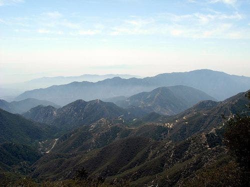
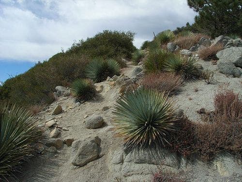
At the top, you’ll notice the heavily forested summit doesn’t offer many far-reaching vistas. However, the remainder of the counterclockwise loop showcases the peak’s remarkably sheer faces, high-desert yuccas and Spanish bayonets, and a subalpine meadow.
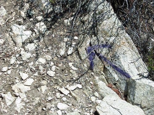
*Editor’s Note: This route contains two mildly technical, vertical climbs that require you to use your hands and feet. The hand and foot holds on both climbing sections are clearly marked with spray paint.
-Mapped by Casey Schreiner
©Casey Schreiner
©Casey Schreiner
©Casey Schreiner
©Casey Schreiner
©Casey Schreiner
©Casey Schreiner
©Casey Schreiner
©Casey Schreiner
©Casey Schreiner
©Casey Schreiner
Trail Facts
- Distance: 17.3
Waypoints
STR001
Location: 34.269743, -118.1406
From the Colby Canyon Trailhead, walk northeast on the path that cuts between low brush.
STR002
Location: 34.270561, -118.138939
Hop across Colby Canyon Creek. Watch out for poison oak. This is a small, seasonal stream that will most likely be dry unless you are hiking after a rainstorm. Do not depend on this as a water source.
STR003
Location: 34.270599, -118.13678
Pass a wooden marker, labeled with the number “5.”
STR004
Location: 34.270523, -118.136642
Bear right @ the Y-junction. A use-trail rises over a small bump in the landscape, while the more established trail goes around it.
STR005
Location: 34.271561, -118.134277
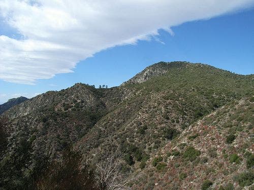
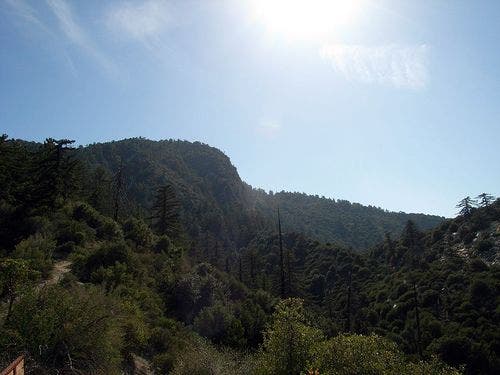
Look northeast through Colby Canyon for an excellent view of Strawberry Peak. Follow the trail as it descends back toward the bottom of Colby Canyon.
STR006
Location: 34.27446, -118.132378
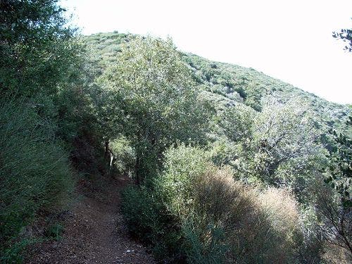
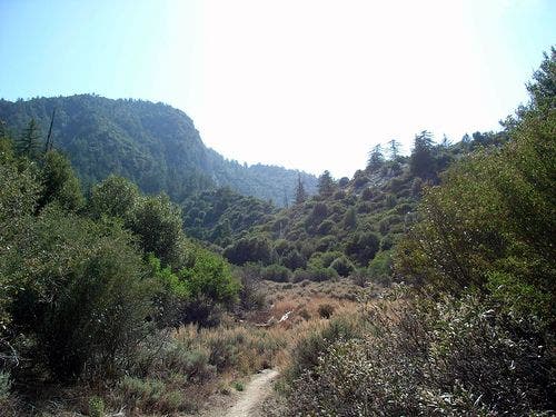
Cross the Colby Canyon Creek again. The shaded footpath begins to a long switchback ascent through chaparral.
STR007
Location: 34.277016, -118.131058
Pass another small wooden marker, labeled with the number “4.” Continue on this exposed path as it switchbacks several times to Josephine Saddle.
STR008
Location: 34.28212, -118.134224
Arrive @ the 4-way junction at Josephine Saddle. Take the second trail from the right and head northeast. This is the continuation of the Colby Canyon Trail, which wraps around Strawberry Peak to the north. Keep an eye out for a low, climbable ridge that is due east of the trail.
STR009
Location: 34.282288, -118.134064
Leave the Colby Canyon Trail and ascend an unmarked use-trail to a small ridge. This is the Mountaineer’s Route to Strawberry Peak. Continue on this visible path toward the east, heading away from the established trail. It crawls through some scratchy brush, but is in decent shape from regular use.
STR010
Location: 34.283688, -118.13102
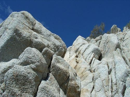
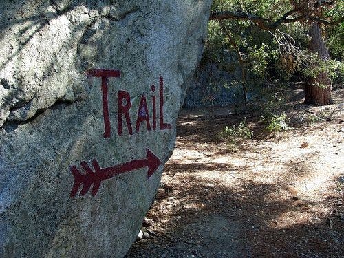
Reach a large rock wall. This is the first major bouldering ascent of the trail. The ideal holds and ascents are clearly marked by spray-painted arrows and dots showing novice climbers the path up. This is a fairly short climb, but has some steep drops. At the top, the trail continues on the ridge between Josephine and Strawberry Peaks and arches east.
STR011
Location: 34.28619, -118.129204
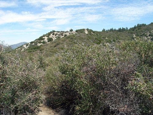
Follow the trail as it turns eastward through thorny low brush.
STR012
Location: 34.286636, -118.125061
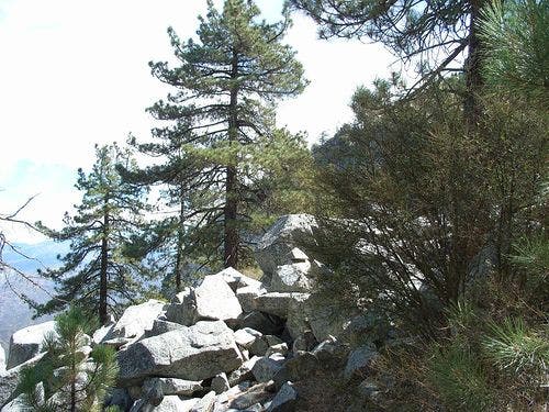
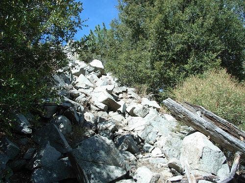
The terrain becomes strewn with large, angular boulders. Continues east-southeast as the trail descends and climbs along a few rockslide areas, heading toward the major climb of Strawberry Peak.
STR013
Location: 34.284309, -118.122383
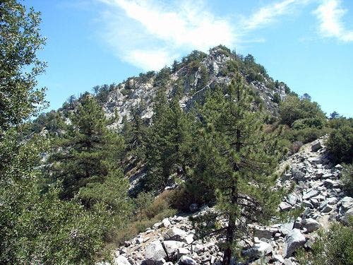
The sheer, western face of Strawberry Peak is the second and last section of Class 3 bouldering on this route. Like the first scramble, it looks intimidating but is not difficult. This route is also marked with paint, having steeper drop-offs than the earlier climb. Climb the 500-foot bouldering section and continue southeast on the path toward the Strawberry Peak summit.
STR014
Location: 34.283512, -118.120521
Reach the summit of Strawberry Peak (6,164 feet). This wooded peak is marked by a large metal army munitions box, which is tucked into a small notch just south of the trail. There are not any particularly stunning views from the summit, but from nearby clearings one can spot the backside of Mount Wilson, nearby Mount Lawlor. On clear days, the northern areas of Angeles National Forest and as far east as the Baldy Bowl are visible. Hike east toward the east slope of the peak to continue the loop.
STR015
Location: 34.283497, -118.116478
Stay on the trail as it descends the eastern ridge of Strawberry Peak through large groups of Spanish bayonets. The route here does occasionally branch off into use-trails, which avoid thorny yuccas and areas of exceptionally loose rock.
STR016
Location: 34.282356, -118.113358
Continue along the trail as it makes a sharp turn southward, following a long ridge.
STR017
Location: 34.274589, -118.111885
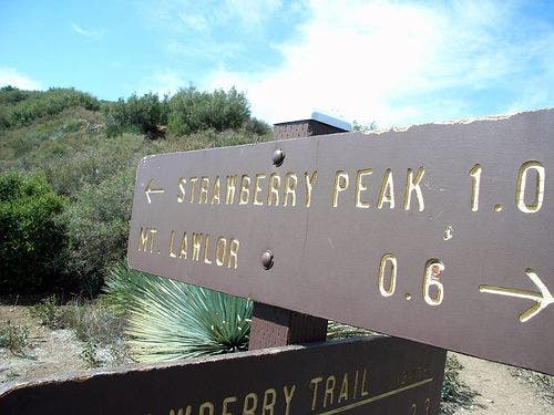
Take a hard left @ the 4-way junction, merging onto the Strawberry Trail and heading north toward the Colby Canyon Trail junction. OPTION: Head straight across the trail, following the ridge to the slight southeast. This route takes a no-nonsense approach to the summit of nearby Mount Lawlor (5,952 feet). It will add 1.2 miles and about 750 feet of elevation to the trip.
STR018
Location: 34.282463, -118.108704
Pass a wooden marker with the number “4” on it. As the trail winds around the eastern flank of Strawberry Peak, it becomes more forested and shady than the trails on the mountain’s southern face.
STR019
Location: 34.285427, -118.110626
Note Strawberry Spring on the southwest side of the trail. This spring is marked by a wooden sign, but can be sluggish during the dry season. Don’t depend on it as water source.
STR020
Location: 34.290653, -118.107986
Bear left @ the Y-junction onto Colby Canyon Trail. As the trail follows the contours of the north slope of Strawberry Peak, it will bear little resemblance to the jagged rocky mountain you climbed earlier on the trail. Here, the terrain is a gentler, forested slope, well-shaded and unimpressive-looking.
STR021
Location: 34.289169, -118.120018
The stunning north face of Strawberry Peak begins to come into view. The north slope is a nearly vertical rock face. Continue west on the trail as it meanders across low ridges.
STR022
Location: 34.292728, -118.128563
Descend to a large grassy area, known as Strawberry Meadows. The trail continues southwest through a few small fields in the shadow of Strawberry Peak. There are a few picnic tables and very large boulders here.
STR023
Location: 34.29171, -118.12925
Pass a wooden post with a number “2” marked on it. Follow the trail as it turns further southwest. It climbs out of the meadow area and follows a sloping ridge, becoming noticeably steeper within a half mile.
STR024
Location: 34.283081, -118.132805
Pass a 3-mile marker on the trail and continue southwest. Hike about 500 feet, passing the Mountaineer’s Route and rejoining the junction toward Josephine Saddle. Walk roughly 2 miles on the Colby Canyon Trail, retracing the route back to the trailhead.
Trailhead
Location: 34.269928, -118.140373
©Casey Schreiner
Peak View
Location: 34.271996, -118.134033
©Casey Schreiner
End of Shade
Location: 34.274727, -118.132622
©Casey Schreiner
Rocky Track
Location: 34.278164, -118.130775
©Casey Schreiner
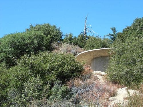
Water Tower
Location: 34.281906, -118.134079
©Casey Schreiner
Purple Arrow
Location: 34.282921, -118.132225
©Casey Schreiner
First Scramble
Location: 34.284023, -118.130951
©Casey Schreiner
Low Brush
Location: 34.286224, -118.1287
©Casey Schreiner
First Rocky Area
Location: 34.286377, -118.124721
©Casey Schreiner
Second Rocky Area
Location: 34.285168, -118.123329
©Casey Schreiner
View before the final climb
Location: 34.284683, -118.122711
©Casey Schreiner
View near the summit
Location: 34.283539, -118.120949
©Casey Schreiner
Spanish Bayonets
Location: 34.283096, -118.114655
©Casey Schreiner
East Slope
Location: 34.279484, -118.112763
The east slope of Strawberry Peak, on the descent — much smoother than the western approach. ©Casey Schreiner
Trail Sign
Location: 34.274727, -118.111832
©Casey Schreiner
Strawberry Trail
Location: 34.276138, -118.111832
©Casey Schreiner
Peak from the north
Location: 34.290016, -118.118919
©Casey Schreiner
Another peak view
Location: 34.289116, -118.120468
©Casey Schreiner
Trail sign
Location: 34.291847, -118.128639
©Casey Schreiner