Los Angeles, CA: East Fork to Bridge to Nowhere

This 10-mile out-and-back zigzags along the East Fork of the San Gabriel River into a narrow canyon with steep walls. The trail fords the river several times, passes Gold Rush Era mines, and ends at the Bridge to Nowhere, where hikers see the leftovers of an abandoned 1930s road project. The 120-foot-high bridge is a popular launching platform for bungee jumpers.
Washouts are frequent on this trail, so pack water shoes and expect to get wet (and occasionally off course). In the first 2.2 miles, you’ll cross the river a handful of times and see blast marks of the defunct Shoemaker Canyon Road to the west. From border of Sheep Mountain Wilderness, link sections of weathered road and rough trail to the famous bridge. Backtrack to trailhead when done.
-Mapped by Casey Schreiner
Trail Facts
- Distance: 16.3
Waypoints
EFT001
Location: 34.2371788, -117.764801
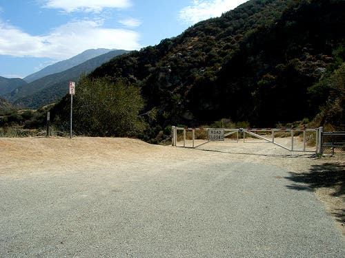
Proceed north to a gate, and hike down the fire road marked NF 8W16.
EFT002
Location: 34.2418213, -117.7612534
Heaton Flat Picnic Area and Campground. At Y-junction, continue on the East Fork Trail as it follows the east bank of San Gabriel River.
EFT003
Location: 34.2448845, -117.7603989
Stay on the east side of the river, as the trail hits a solid rock wall. Boulder hop for about 30 feet and rejoin the trail.
EFT004
Location: 34.2479858, -117.7603226
Wade across the East Fork from east to west bank.
EFT005
Location: 34.2485275, -117.7603149
Cross the river again. Continue north on the trail as it rises above the river.
EFT006
Location: 34.2517853, -117.7596664
Cross river again.
EFT007
Location: 34.2522354, -117.7596664
The East Fork Trail splits into several trails; many are marked with cairns. Take whichever route looks the least overgrown and continue northeast.
EFT008
Location: 34.2534294, -117.7584839
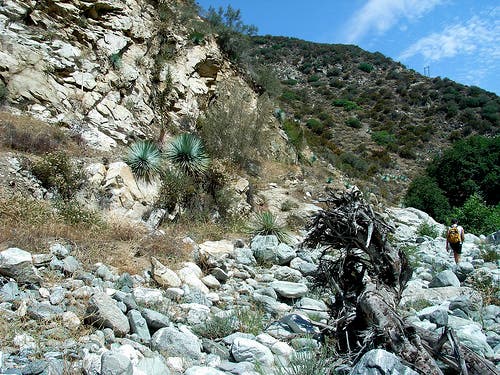
The flood plain of the river becomes scattered with logs and other debris. Stay as close to the eastern canyon wall to avoid most of the obstacles. Keep the river to the left as the canyon makes a slight bend northwest.
EFT009
Location: 34.2546768, -117.7594376
Continue northeast on the East Fork Trail as the canyon makes a sharp turn. Look up at the western canyon wall to see evidence of the failed Shoemaker Canyon Road (a few tunnels blasted into the mountainside). Here, the East Fork Trail shows signs of its former status as a paved road. Asphalt and pavement dot the trail, which is overgrown and eroded by 50-plus years of California sun and wind.
EFT010
Location: 34.2560349, -117.7577286
Another river crossing.
EFT011
Location: 34.2567978, -117.7566376
Ford river again. For the next 0.6 mile, continue on the trail as it follows the river west through a narrow, more shaded section of canyon.
EFT012
Location: 34.2579193, -117.7511902
Ignore the thin use-trail worn into the rock wall (it doesn’t go anywhere) and stay on the lower route, traveling east.
EFT013
Location: 34.2573738, -117.750618
Make a short scramble down some boulders (about 10 feet).
EFT014
Location: 34.2590561, -117.746727
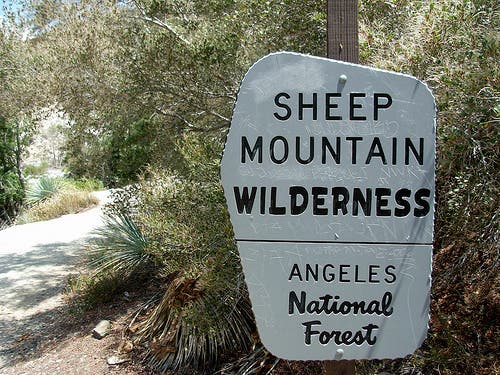
Continue north in San Gabriel River Canyon on the East Fork Trail at the intersection with Laurel Gulch. This marks the boundary of the Sheep Mountain Wilderness Area.
EFT015
Location: 34.2601738, -117.7464371
Look at the western canyon wall. A prominent, twisted vein of quartz gives this formation its name–Swan Rock.
EFT016
Location: 34.2606735, -117.7472382
Ignore use-trails that ascend the ridge to the right; instead, stay along the river as the East Fork Trail curves northeast away from Swan Rock.
EFT017
Location: 34.2624016, -117.7466888
Cross the river as it bends north at Allison Gulch; the sandbar provides a shallow crossing.
EFT018
Location: 34.2630692, -117.7463989
Cross the river back to the east bank. Sidetrip: Veer right @ Y-junction with Allison Gulch for a 1.4-mile trip northeast to the ruins of Allison Mine.
EFT019
Location: 34.2689552, -117.7469711
At 3.5 miles, the river continues north around a small bend. Continue northwest for 0.1 mile along the edge of the river’s eastern bank. Ignore the use-trail that leaves the riverbed to the north and climbs up onto this bend–this trail will leave you stranded above the actual route with no safe way down.
EFT020
Location: 34.2698479, -117.7479401
Cross the river twice. Continue in northeast direction for 0.1 mile. Note the old, severely eroded road grade on the southeast side of the canyon.
EFT021
Location: 34.2714958, -117.7468262
Cross the river yet again to the eastern bank. Scan this ridge for a prominent use-trail that leads to the old road grade.
EFT022
Location: 34.2791634, -117.7521667
Pass the sign marking ‘Private Property.’ Continue northeast on trail.
EFT023
Location: 34.283165, -117.7472458
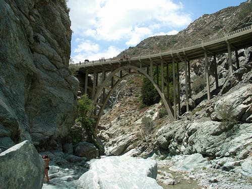
Reach the Bridge to Nowhere. From here, the bridge doesn’t look very impressive. Cross the span and look back to a lone concrete bridge without any roads nearby.
EFT024
Location: 34.2830925, -117.7460022
Turn right onto one of the handful of use-trails that scramble down to the river, approximately 200 feet. There are several excellent swimming holes, and many perches to watch bungee jumpers leap off the bridge. When done, ascend back to the main trail and retrace steps back to the parking lot. Option: Continue 360 feet farther along the trail to the ruins of a small tunnel that was supposed to lead to the bridge.
Gate
Location: 34.2366562, -117.7651978
The gate at the trailhead.
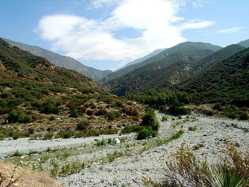
River View
Location: 34.2396202, -117.762619
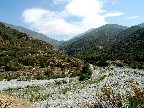
A view of the East Fork of the San Gabriel River from the fire road.
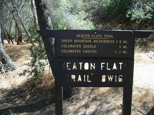
Heaton Flats
Location: 34.2420349, -117.7612076
Trail sign at Heaton Flats Junction.
Trail to the ridge
Location: 34.2485275, -117.7605209
One of the use-trails to the actual trail on the ridge.
Old Pavement
Location: 34.2549477, -117.759491
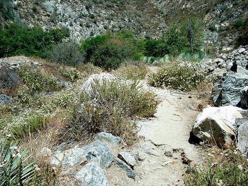
Some sections of the old East Fork Road still have asphalt on the ground.
River View
Location: 34.2565422, -117.7569122
Wilderness Boundary
Location: 34.2591324, -117.7468338
Sheep Mountain Wilderness sign.
Trailside Views
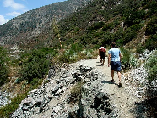
Location: 34.2638855, -117.7468338
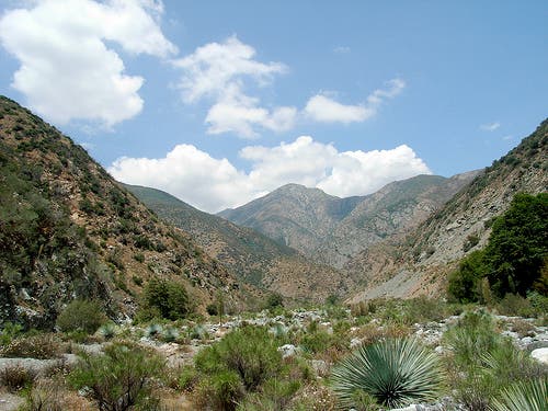
Another view of the river and mountains to the north.
Stone Arrow
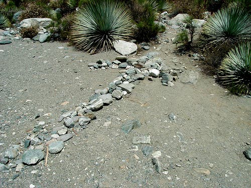
Location: 34.2715797, -117.7463608
This arrow points to the trail.
More Pavement
Location: 34.2743111, -117.7483749
More visible pavement on the last stretch of trail before the bridge.
Bridge to Nowhere
Location: 34.2833595, -117.7464447
The Bridge to Nowhere from the east side.