Published September 20, 2013 03:26PM
Los Angeles: Billy Goat Trail
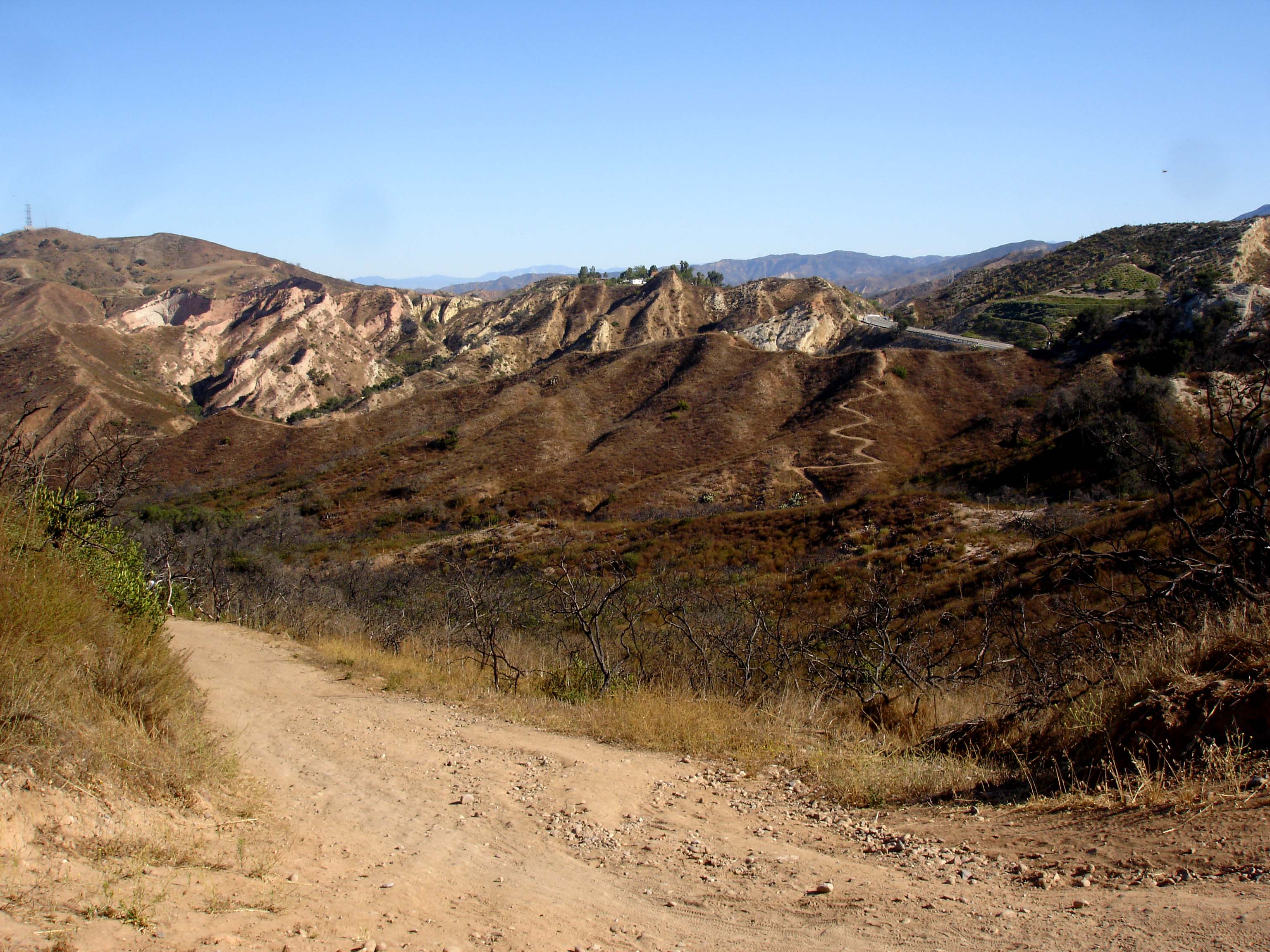
Experience the many moods of the chaparral and wildflowers in bloom en route to an unnamed summit on this 6.8-mile hike in Whiting Ranch Wilderness Park.
'tinyfroglet'
Trail Facts
- Distance: 5.5
- Miles from city center: 51
Waypoints
BGT001
Location: 33.686939239502, -117.629409790039
Trail begins on N side
BGT002
Location: 33.6872901916504, -117.636543273926
R @ Y nearing Serrano Creek; begin 2-mi. climb, winding through green grass, wildflowers, cactus, chaparral, and gigantic oak trees
BGT004
Location: 33.6957359313965, -117.640975952148
Stay straight @ 3-way with Cactus Hill Trail
BGT005
Location: 33.6963119506836, -117.640594482422
@ 4 corners, go L at 4-way intersection onto the trail marked water tank 1.0 mile
BGT006
Location: 33.6961212158203, -117.644828796387
L @ 3-way onto Dreaded Hill Trail; ascend to overlook
BGT007
Location: 33.6944847106934, -117.642356872559
Bench @ unnamed summit surveys the former pioneer ranch of Cañada de Los Alisos, today nearly 10,000 acres divided into a rejuvenating parkland and subdivision; return to WPT 2
BGT008
Location: 33.6873588562012, -117.63655090332
R @ T; ramble through chaparral hillside to ridge crest
BGT010
Location: 33.6859741210938, -117.64045715332
ADVERTISEMENT
Overlook with vistas of deep, rolling creases of Santa Anas to N and tumultuous tide of Pacific to SW; retrace route to WPT 9; return to car
BGT009
Location: 33.691707611084, -117.640159606934
Continue climbing SW along sinewy ridgeline
BGT003
Location: 33.6938972473144, -117.640609741211
Trail bends NW along sloping, hilly edge; prepare for incline