Appalachian Trail: Fontana Dam to Newfound Gap

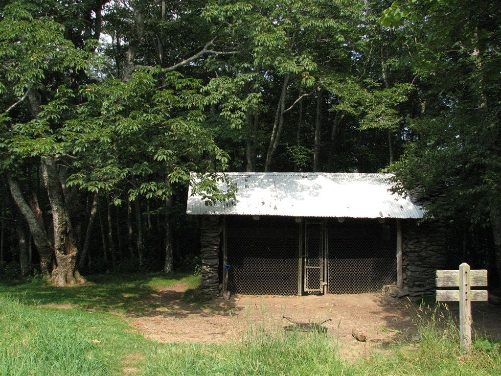
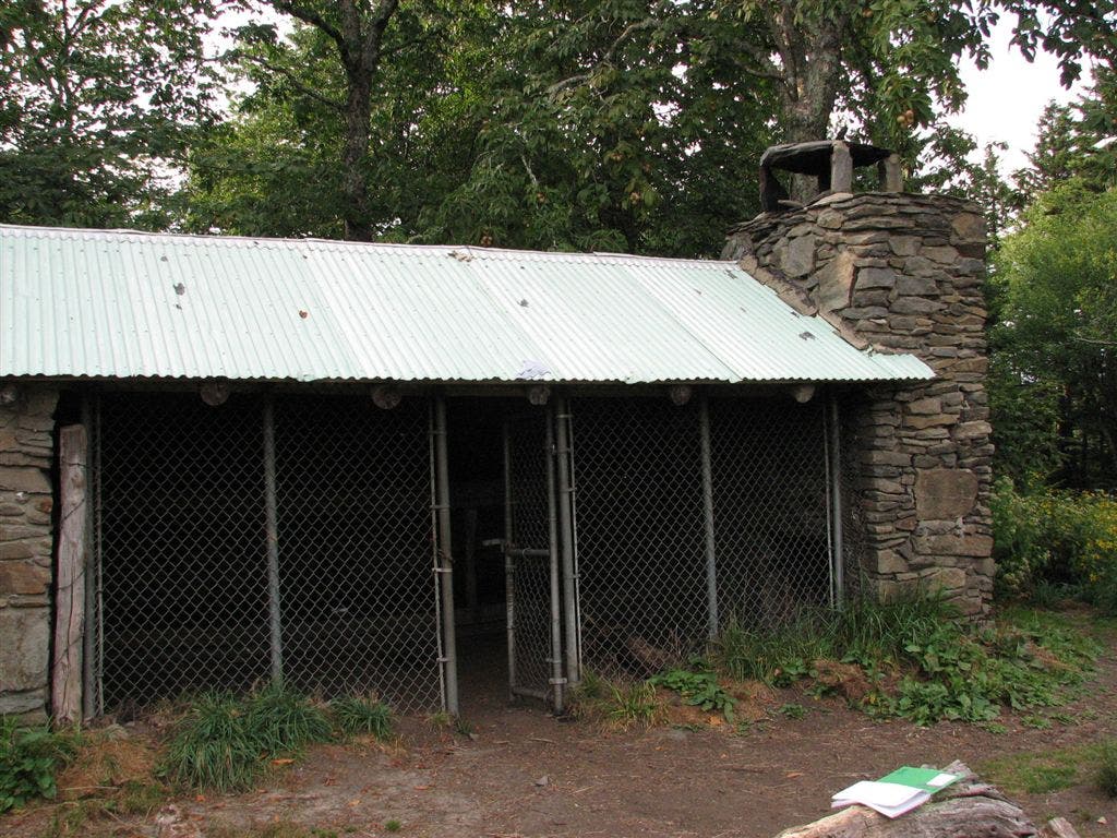
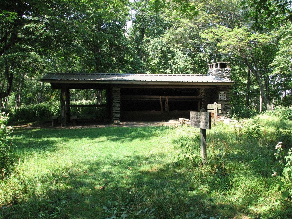
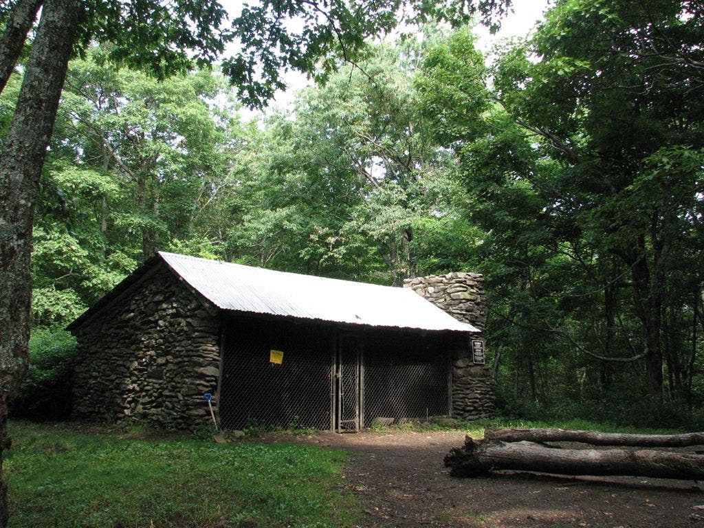
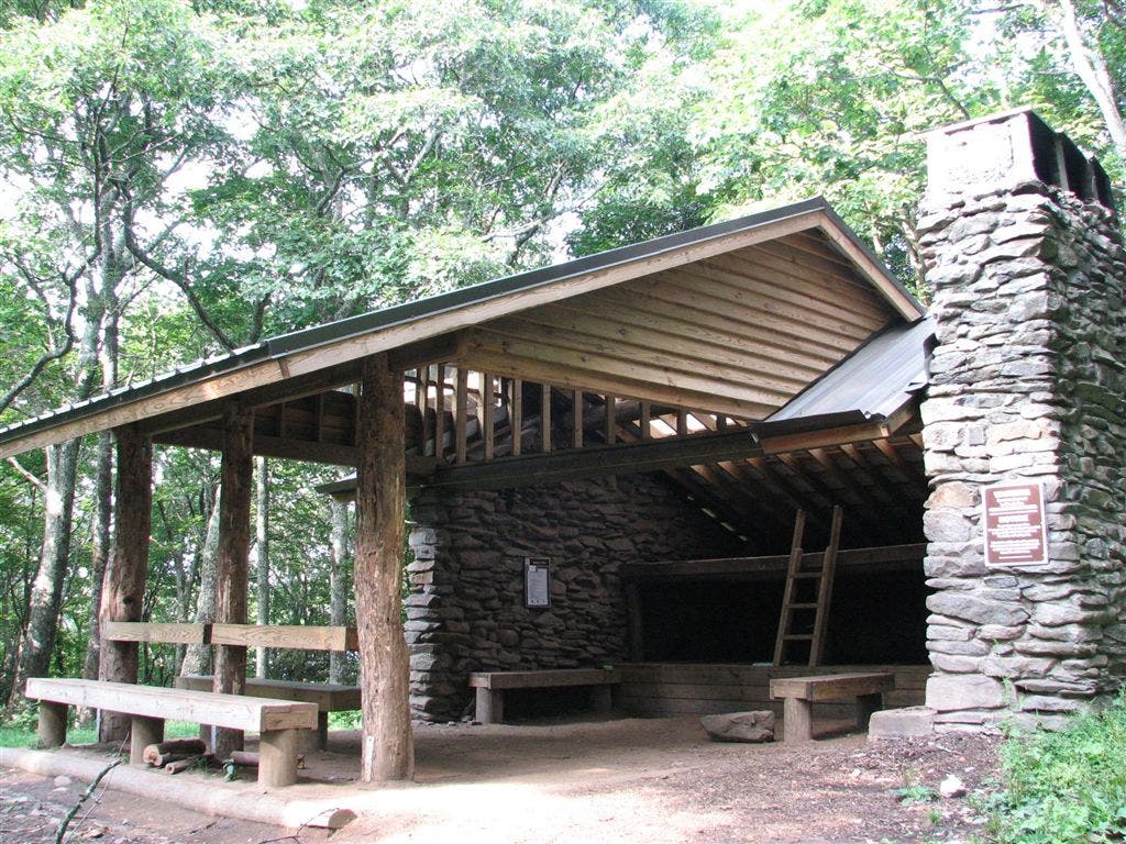
Shelters: Mollies Ridge Shelter: sleeps 12; no privy. Russell Field Shelter: sleeps 14; no privy. Spence Field Shelter: sleeps 12; privy. Derrick Knob Shelter: sleeps 12; no privy. Silers Bald Shelter: sleeps 12; no privy. Double Springs Gap Shelter: sleeps 12; privy. Mt. Collins Shelter; sleeps 12; privy.
Trail Facts
- Distance: 65.4
Waypoints
WPT019
Location: 35.564152, -83.713966
Open
WPT020
Location: 35.564152, -83.713966
Rocky summit; 360-degree views
WPT002
Location: 35.449184, -83.796684
Paved road to Fontana Dam Shelter
WPT020
Location: 35.460632, -83.811234
AT turns W @ jct. where Lake Shore Trail continues straight; kiosk; road to woods
WPT003
Location: 35.579449, -83.603783
Miry Ridge Trail to the W
WPT023
Location: 35.562218, -83.505936
Mt. Buckley
WPT005
Location: 35.441635, -83.795082
Fontana AT crossing; restrooms; permit kiosk; phone
WPT029
Location: 35.56535, -83.542297
Double Spring Gap Shelter
WPT024
Location: 35.564133, -83.730431
Bote Mountain Trail to the W
WPT033
Location: 35.565132, -83.560616
The Narrows
WPT014
Location: 35.568516, -83.701233
Beech Tree Forest
WPT027
Location: 35.5625, -83.516815
Views to the SW
WPT007
Location: 35.611767, -83.442085
Stile over fence; N end of beech forest
WPT006
Location: 35.567848, -83.636551
Greenbrier Ridge Trail to the W; Sams Gap
WPT019
Location: 35.562901, -83.498436
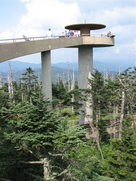
Clingmans Dome Tower
WPT022
Location: 35.562099, -83.504318
AT turns W @ fork with Clingmans Dome Bypass Trail to the E
WPT005
Location: 35.572884, -83.621536
Hemlock Knob
WPT012
Location: 35.570301, -83.695435
AT traverses unnamed summit (5,040 ft.)
WPT024
Location: 35.452648, -83.804436
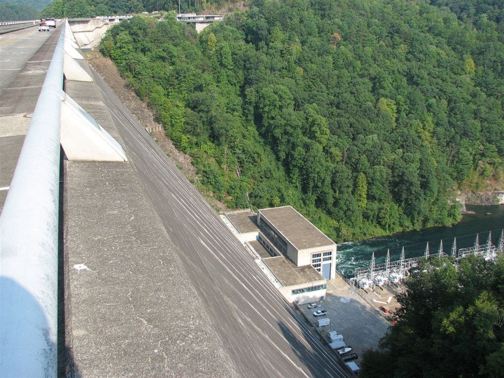
Fontana Dam
WPT025
Location: 35.562565, -83.509613
Open berry bushes
WPT005
Location: 35.561615, -83.766418
Russell Field Shelter; Russell Field Trail to the E
WPT007
Location: 35.555233, -83.775902
Little Abrams Gap
WPT028
Location: 35.564716, -83.533401
Goshen Prong Trail to the W
WPT013
Location: 35.569267, -83.697563
Side trail leads W to water
WPT021
Location: 35.454666, -83.810448
Road walk
WPT013
Location: 35.527283, -83.819199
Doe Knob
WPT011
Location: 35.609383, -83.446663
Prong Trail to the W
WPT014
Location: 35.524682, -83.819504
AT turns E. Water @ T. Gregory Bald Trail
WPT034
Location: 35.565617, -83.56308
Welch Ridge Trail to the E
WPT017
Location: 35.56345, -83.498466
Clingmans Dome Tower Trail to the E
WPT010
Location: 35.569683, -83.6782
Brier Knob N; tough, rocky terrain
WPT003
Location: 35.447948, -83.795715
AT turns E for shelter and merges onto road
ZZZ012
Location: 35.441151, -83.795448
NC 28; heading W on NC 28 leads to Fontana Village with PO and general store
WPT012
Location: 35.596298, -83.46122
Spring road; uphill
WPT004
Location: 35.580032, -83.60807
Cold Spring Knob
WPT017
Location: 35.485035, -83.816368
AT veers W @ jct. with trail to the E, leading to Shuckstack Mtn.
WPT018
Location: 35.566635, -83.711334
Open
WPT035
Location: 35.566032, -83.565201
N boundary of bald area
WPT018
Location: 35.483452, -83.81472
Valley views to the SW. AT traverses hillside; rock slab terrain
WPT024
Location: 35.56205, -83.508118
Views to the W
WPT019
Location: 35.479683, -83.806973
Tiny stream crossing
WPT022
Location: 35.562698, -83.725937
Jenkins Ridge Trail
WPT014
Location: 35.59058, -83.470383
Sugarland Mountain Trail to the W; .5 mi. to Mt. Collins Shelter
WPT016
Location: 35.489601, -83.815651
Jct. with Twentymile Trail, Lost Cove Trail, and Benton MacKaye Trail
WPT016
Location: 35.568481, -83.707115
Views Rockytop and valley; exposed
WPT018
Location: 35.563049, -83.498619
Tower base
WPT006
Location: 35.557899, -83.772331
Big Abrams Gap
WPT025
Location: 35.452148, -83.801582
S end of dam
WPT013
Location: 35.5909, -83.469254
Fork Ridge Trail to the E; Mountain to Sea Trail
WPT004
Location: 35.441784, -83.795334
AT turns W @ road to trail
WPT003
Location: 35.564056, -83.732819
Field
WPT008
Location: 35.550499, -83.783882
Little Bald
WPT037
Location: 35.564999, -83.566017
Views to the WSW; open
WPT017
Location: 35.566582, -83.709969
Rocky Top
WPT023
Location: 35.562599, -83.726868
Open field; views to the ENE of rocky top
WPT012
Location: 35.530102, -83.814484
Mud Gap
WPT007
Location: 35.566532, -83.641701
Derrick Knob Shelter
WPT010
Location: 35.536568, -83.79985
Short Ridge
WPT026
Location: 35.562038, -83.732735
Spence Field Shelter
WPT031
Location: 35.564816, -83.553818
Small clearing
WPT002
Location: 35.578251, -83.601135
Buckeye Gap
WPT032
Location: 35.565067, -83.557098
Views to the SSW of river; The Narrows
WPT027
Location: 35.448818, -83.795364
Restrooms
WPT021
Location: 35.562183, -83.503914
Views to the NNW
WPT009
Location: 35.569584, -83.669983
Starkey Gap
WPT008
Location: 35.569633, -83.657066
Sugartree Gap
WPT011
Location: 35.538982, -83.805099
Ekaneetlee Gap; side trail leads W to water
WPT023
Location: 35.452568, -83.807983
AT turns E @ N end of bridge
WPT004
Location: 35.563034, -83.752197
Maple Sugar Gap
WPT015
Location: 35.5686, -83.706215
Thunderhead Mtn. (5,527 ft.)
WPT011
Location: 35.569084, -83.692284
Beechnut Gap
WPT022
Location: 35.453751, -83.809181
Parking; picnic table. Views of the dam to the SE
WPT030
Location: 35.565006, -83.5448
Traverse Jenkins Knob
WPT015
Location: 35.5019, -83.813248
Birch Spring Gap. Birch Spring Shelter has been replaced by NPS campsite #113; water (.1 mi.)
WPT028
Location: 35.448566, -83.794037
Fontana Hilton
WPT016
Location: 35.578602, -83.480003
Collins Gap
WPT036
Location: 35.566032, -83.565399
AT turns E @ Silers Bald; views of Clingmans Dome
WPT020
Location: 35.562698, -83.5
Clingmans Dome Tower Trail to the E
WPT026
Location: 35.449051, -83.796387
Parking and trail to Fontana Dam Shelter
WPT008
Location: 35.612068, -83.442535
Indian Gap and road. Cross Clingmans Dome Rd. AT curves
WPT009
Location: 35.546032, -83.793915
Mollies Ridge Shelter
WPT010
Location: 35.611084, -83.444
Stile over fence; S end of beech forest
WPT025
Location: 35.563835, -83.73143
Eagle Creek Trail to the E. Trail to Spence Field Shelter
WPT001
Location: 35.564178, -83.568352
Silers Bald Shelter
ZZZ013
Location: 35.611183, -83.425285
US 441; Newfound Gap; parking; bathrooms; water; view
IMG_4691
Location: 35.566532, -83.641602
IMG_4588
Location: 35.59745, -83.460114
IMG_4668
Location: 35.565182, -83.542648
IMG_4733
Location: 35.546185, -83.793747
IMG_4750
Location: 35.493168, -83.814552
IMG_4777
Location: 35.452484, -83.807419
IMG_4730
Location: 35.561749, -83.766617
IMG_4619
Location: 35.562717, -83.498634
IMG_4726
Location: 35.561966, -83.732651