Long Trail Section 10 Hike: Buchanan Shelter to VT 15

"None"
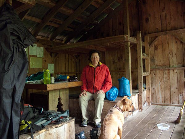
With over 9,500 feet of climbing and 11,000 feet descending, Section 10 of the Long Trail is likely the most difficult part of the entire trail. This 25.7-mile point-to-point winds up, down, and across some of the toughest terrain in the Green Mountains, including the crux of the trek, the 5.8-mile, 2,600-foot climb up Mount Mansfield, Vermont’s highest peak. There are plenty of shelters along the way that make finding a camp easy: Buchanan, Puffer, Taylor Lodge, Butler, Taft Lodge, Sterling Pond, Whiteface, and Bear Hollow.
Trail Facts
Distance: 25.7 miles one way
Elevation Gain: 9,500+ feet
Difficulty: Challenging
The Route: Long Trail Section 10 Hike
From the Buchanan Shelter the Long Trail winds its way over and around 8 summits on its way to the section end at VT 15.
Day One: Buchanan Shelter to Taylor Lodge
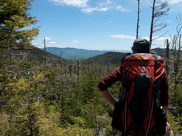
Begin hiking from the Buchanan Shelter where the route picks up the climb to Bolton Mountain. The trek up Bolton, like most of the ascents of this section, is full of ups and downs and is rarely a steady effort. From Bolton, descend a ridgeline to climb back over Mount Mayo and then skirt Mount Clark en route to the Taylor Lodge shelter, an advisable spot to pause for the evening before tackling Mansfield.
Day Two: Taylor Lodge to Mount Mansfield
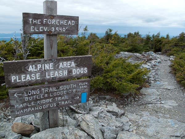
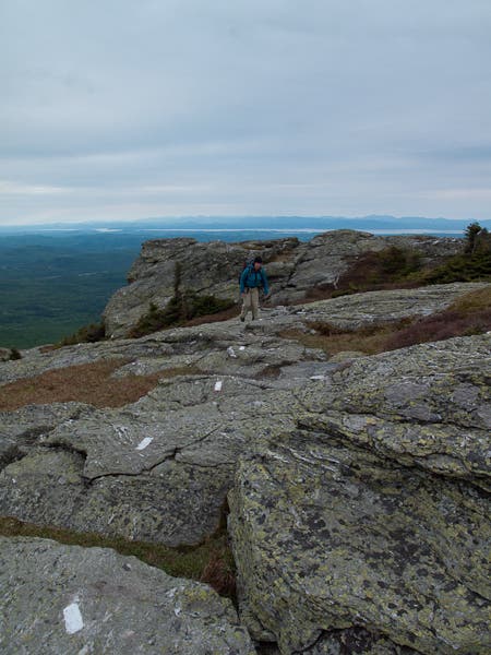
After a gradual climb from the Needles Eye saddle, the climb steepens at Butler Lodge (and a bad weather bypass option up to the Mansfield summit). Shortly ahead, the route emerges from treeline (where it will stay for 2.3 miles to the true summit). Scramble up to the Forehead (Mansfield’s southernmost peak) and then trek north on the ridge spine (where you’ll enjoy top-of-Vermont views) towards “The Chin,” the true summit of Mansfield (4,395 feet).
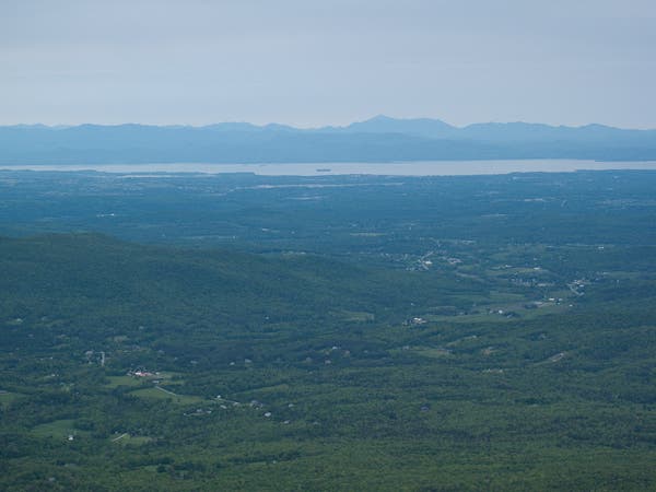
At the highest point on the Long Trail, views expand in every direction. Look east to Mount Washington and other White Mountain peaks, west to Lake Champlain and the Adirondacks, and south over the ridge of Green Mountain peaks the LT has already scaled. Closer in to the northeast, spot the “Adams Apple,” a neighboring peak of the Mansfield summit (sometimes called “The Chin”).
Day Two Cnt’d: Mount Mansfield to VT 15
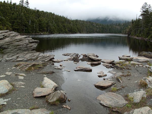
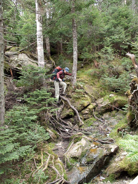
Heading down from the summit, hunker down for a steep, 2,700-foot drop to VT 108. This stretch will likely take a toll on your knees and hips as you’ll scramble down boulders and root-strewn trail for over two miles. After crossing VT 108, the LT picks up another rough climb up the top of the Smugglers Notch and Stowe Ski resorts (and the summits of Spruce and Madonna Peak). The climbing tops out at the wooded summit of Whiteface Mountain before the final 6-mile, tough-on-the-joints descent to the section’s end at VT 15.
Why You’ll Love This Hike
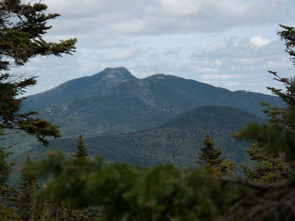
Section 10 of the Long Trail may be one of the most challenging portions of the trail in its entirety, but it also brings with it the best views of any of the other sections and eight summits. Here’s a taste of what you’ll see and experience.
Mountains and Peaks
- Bolton Mountain
- Mount Mayo
- Mount Clark
- Mount Mansfield
- Spruce Mountain
- Madonna Peak
- Morse Mountain
- Whiteface Mountain
Additional Photos: Long Trail Section 10 Hike
