Long Trail (Section 07): Brandon Gap to Cooley Glen

Departing north from Brandon Gap, this 19-mile section of the Long Trail challenges thru-and dayhikers alike with over 7,000 feet of rugged elevation gain and nearly that much descending. The route begins with a stiff, 600-foot climb up the southern face of the Great Cliff before heading northwest on a ridgeline trek that connects the summits of Mount Horrid, Cape Lookout Mountain, Gillespie Peak and Romance Mountain before the first shelter option at Sucker Brook.
From the shelter, hike north to scale Worth Mountain before descending to Middlebury Gap through the Middlebury Snowbowl ski area. After crossing VT 125 (the last road access point for this section), the route picks up a long and rugged ascent toward Breadloaf Mountain (spreading over 2,000 feet of climbing across 5 miles.) From Breadloaf, descend to the Emily Proctor shelter. Here you may want to call it a day; it’s another 4.5 miles of tough climbing and descending (over three more Green Mountain summits) before the end of the section at the Cooley Glen shelter.
Shelters: Sucker Brook, Boyce Shelter, Skyline Lodge, Emily Proctor, Cooley Glen. *Middlebury Snowbowl (this is not a GMC shelter).
-Mapped by Berne Broudy, AuthenticOutdoors.com
MORE LONG TRAIL MAPS
Section 1 | Section 2 | Section 3 | Section 4 | Section 5 | Section 6 | Section 7 | Section 8 | Section 9 | Section 10 | Section 11 | Section 12
Trail Facts
- Distance: 30.7
Waypoints
LNG089
Location: 43.8397342, -72.9683826
From Brandon Gap, continue north on the Long Trail at the intersection with the Cliff Trail. Ahead, the trail makes a steep 600-foot climb up the southern face of The Great Cliff.
LNG090
Location: 43.8453324, -72.9650995
Continue heading northwest on the Long Trail passing a .7-mile trail up to the summit of The Great Cliff (and a great view to the south across Brandon Gap). Ahead the trail begins a 4-mile ridgeline trek, connecting the summits s Mt. Horrid, Cape Lookout Mountain, Gillespie Peak, and Romance Mountain before heading down to the Sucker Brook shelter.
Note: A seasonal falcon nesting site, Great Cliff is sometimes closed to hikers.
LNG091
Location: 43.892965, -72.9712447
Pass a junction on the left to the Sucker Brook shelter (downhill). Ahead, the trail climbs the ridge of Worth Mountain.
LNG092
Location: 43.9275942, -72.9608616
The LT reaches the top of (and begins descending through) the Middlebury Snowbowl ski area.
LNG093
Location: 43.9371582, -72.9502804
At Middlebury Gap, the LT crosses VT-125 and begins a steep climb up the ridge of Burnt Hill.
LNG094
Location: 43.9377699, -72.9461339
Continue on the LT, passing a junction with the Great Cliff Trail.
LNG095
Location: 43.9593847, -72.9448448
Continue on the LT past a junction with the Burnt Hill Trail.
LNG096
Location: 43.9667496, -72.9477503
The LT passes the Boyce Shelter and continues north up Boyce Mountain.
LNG097
Location: 43.9885749, -72.937358
Just past the summit of Battell Mountain, the LT passes a junction down to Skyline Lodge.
LNG098
Location: 44.0010265, -72.9397345
Just past the summit of Bread Loaf, the LT jogs bag east down to a saddle below Mt. Wilson.
Here a worthwhile spur trail continues northwest for .1 mile to an overlook to the west.
LNG099
Location: 44.0014454, -72.932199
At the Emily Proctor Shelter, the LT continues heading east from behind the shelter up the slopes of Mt Wilson (following white blazes). Another trail heads north downhill–this is not the LT. If you see blue blazes, you went the wrong way.
From here to the Cooley Glen shelter it’s another 4.5 miles over short but strenuous climbs of Mt. Wilson, Mt. Roosevelt, and Mt. Cleveland.
LNG100
Location: 44.0497845, -72.9137498
Section 7 ends at the Cooley Glen Shelter.
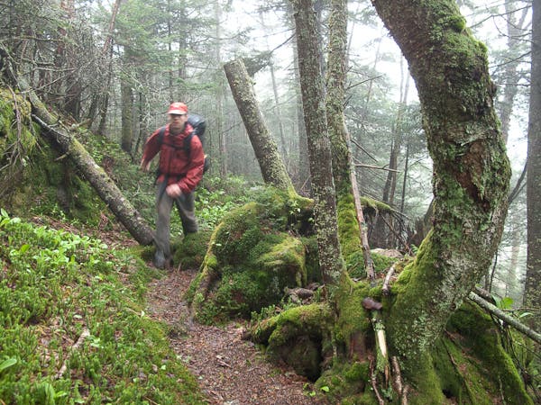
Mossy Trail
Location: 43.858148, -72.972948
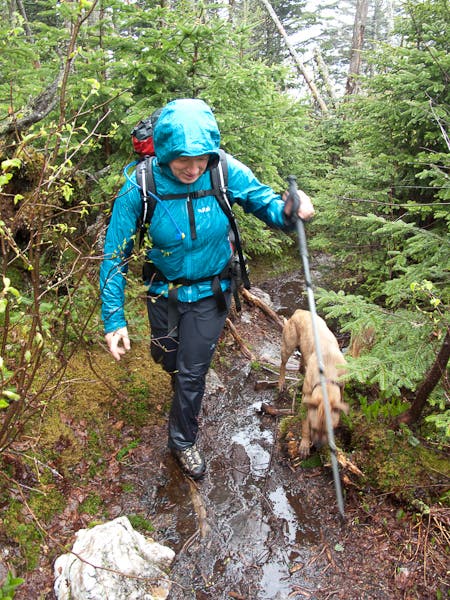
Long Trail Drainage
Location: 43.911305, -72.963521
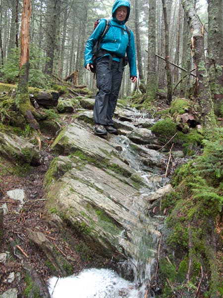
The LT acts as drainage on the way down from Worth Mountain.
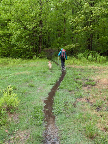
Snowbowl Meadow
Location: 43.934312, -72.95392
The LT cuts through an open field/ski trail in the Middlebury Snowbowl.
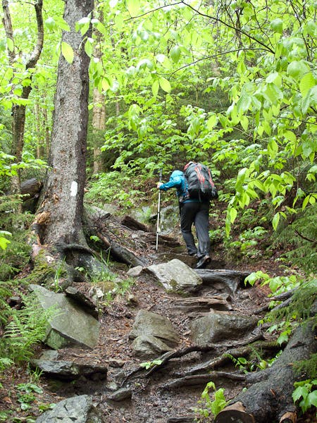
Snowbowl Climb
Location: 43.934833, -72.953222
A short steep climb in the Snowbowl, just before Middlebury Gap.
Descending Boyce
Location: 43.9747193, -72.9407215
The rugged descent from Boyce Mountain
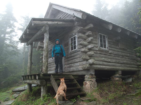
Skyline Lodge
Location: 43.98712, -72.936577