Long Trail (Section 05): VT 140 to US 4

Kicking off with a stiff 1,000-foot climb over Bear Mountain, this 22-mile run on the Long Trail (also the Appalachian Trail on this route), serves up one of the thru-hikes first sustained ascents: a 6-mile, 2,400-foot approach to Killington Peak (at 4,235 feet, it’s Vermont’s second highest summit after Mount Mansfield).
Before the big hump of the day, the route descends from Bear and tracks north, passing by two overlooks above VT-30 before heading northeast to the Clarendon shelter. Further east at the Clement shelter, thru-hikers must decide whether to call it a day or hunker down for the final (and steepest) 3.5 miles of the climb up Killington. After the steepest stretch up to Little Killington, the route traverses north across a saddle and arrives at a junction leading down to the Cooper Lodge. Drop your packs at the shelter and hike up the 300-foot, .5-mile out-and-back to the top of Killington (where expansive 360-degree views across the Green Mountains await). From the lodge, it’s a 7-mile downhill run to the end of the section at US 4.
Shelters: Minverva Hinchey, Clarendon, Clement, Cooper Lodge, Churchill Scott
-Mapped by Berne Broudy, AuthenticOutdoors.com
MORE LONG TRAIL MAPS
Section 1 | Section 2 | Section 3 | Section 4 | Section 5 | Section 6 | Section 7 | Section 8 | Section 9 | Section 10 | Section 11 | Section 12
Trail Facts
- Distance: 35.3
Waypoints
LNG062
Location: 43.4568786, -72.9327687
The Long Trail leaves from the right end of the parking lot on VT-140 (facing away from the road) and immediately begins a stiff, switchback climb up Bear Mountain (gaining 1,000 feet over the next 1.5 miles).
LNG063
Location: 43.4643943, -72.9356252
Turn right to continue on the LT. A blue-blazed side trail continues straight.
LNG064
Location: 43.4828989, -72.9275003
At the junction with the Lake Trail/Patch Hollow, continue straight on the Long Trail. Ahead, the route jogs left than right on and off a logging road.
LNG065
Location: 43.4879803, -72.9252586
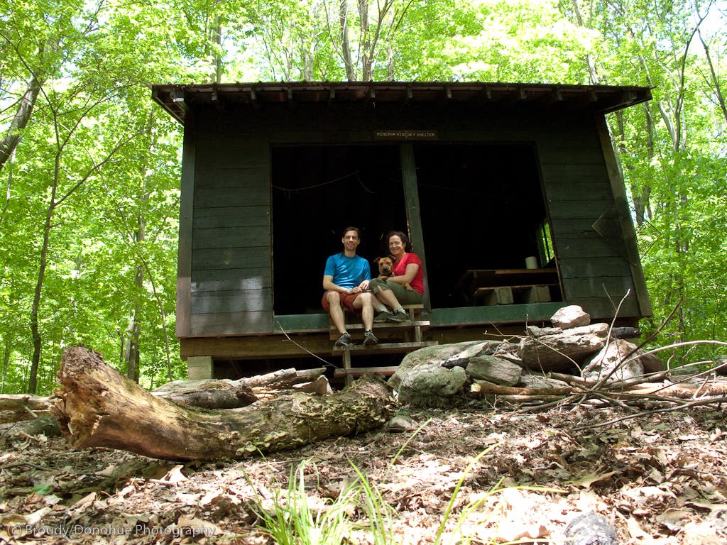
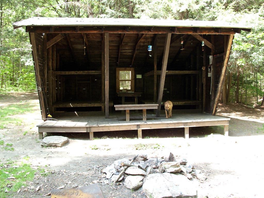
The LT passes a junction to the Minerva Hinchey shelter. Ahead the LT climbs a ridge above Spring Lake.
LNG066
Location: 43.5111799, -72.9274178
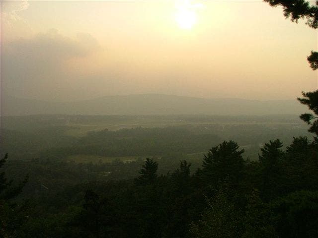
The LT passes a westward overlook over an airport outside Rutland.
LNG067
Location: 43.5167086, -72.9262787
Cross a dirt road; shortly ahead the LT crosses the Mill River and VT-103 before picking up a steep 600-foot climb to the Clarendon Lookout.
LNG068
Location: 43.5241661, -72.9129638
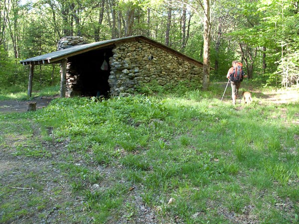
The LT passes a junction to the Clarendon shelter. Heading east, the LT climbs 400 feet to the top of Beacon Hill, then continues east to cross Lottery Road.
LNG069
Location: 43.5343299, -72.8736732
Cross a dirt road; shortly ahead the LT crosses a paved road (Cold River).
LNG070
Location: 43.5407889, -72.8607818
Pass an overlook of the Gould Brook below. Shortly ahead the trail descends to and crosses the brook before following Sargent Brook up a mild grade. Note: the Gould Brook ford can be difficult in high water.
LNG071
Location: 43.5501538, -72.8569476
Cross Upper Cold River Rd./VT-12.
LNG072
Location: 43.5572235, -72.8526548
Cross Clement Shelter Rd; from here the LT continues uphill, paralleling the road en route the shelter proper. Before continuing past the shelter, consider that a 4-mile, 2,000-foot climb to Killington Mountain lies ahead.
LNG073
Location: 43.5895176, -72.8171974
Pass the blue-blazed turn-off for Shrewsbury Peak and continue heading west, uphill (for another 300-feet) towards the summit of Little Killington.
LNG074
Location: 43.6056114, -72.8224011
To continue downhill on the LT towards Cooper Lodge, bear left here. For an .5-mile out-and-back detour to the top of Killington Mountain, turn right.
Ahead the LT descends across the ridge saddle to Snowden Peak before continuing on below Rams Head as it follows contours to the northwest.
LNG075
Location: 43.6335983, -72.8299397
At a saddle below Pico Peak, pass a turn-off for Pico Camp. Ahead the trail begins a steady 3-mile descent past the Churchill Scott shelter down to US-4.
LNG076
Location: 43.6462328, -72.852882
Pass the Churchill Scott shelter.
LNG077
Location: 43.6665695, -72.850057
Section 5 ends at US-4.
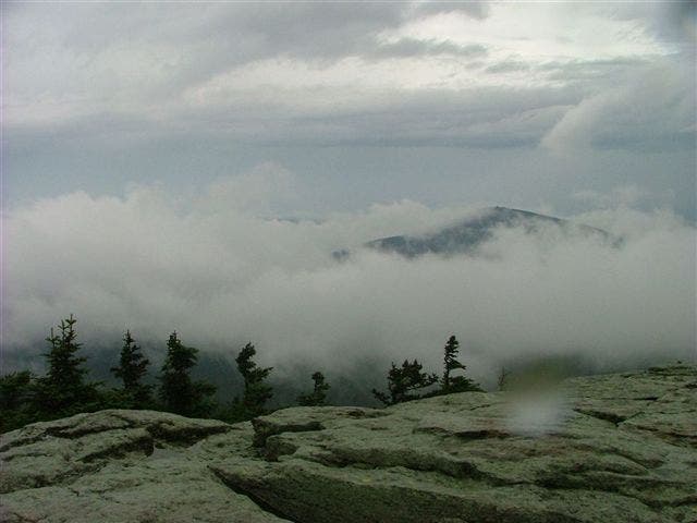
Killington Peak View
Location: 43.6046192, -72.820344
A misty view from the second highest peak in Vermont.
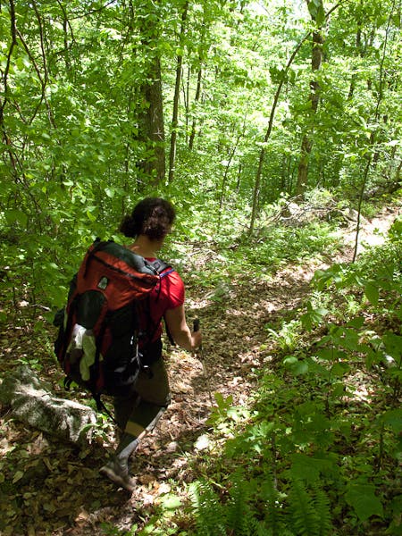
Descending to Patch Hollow
Location: 43.476286, -72.933704
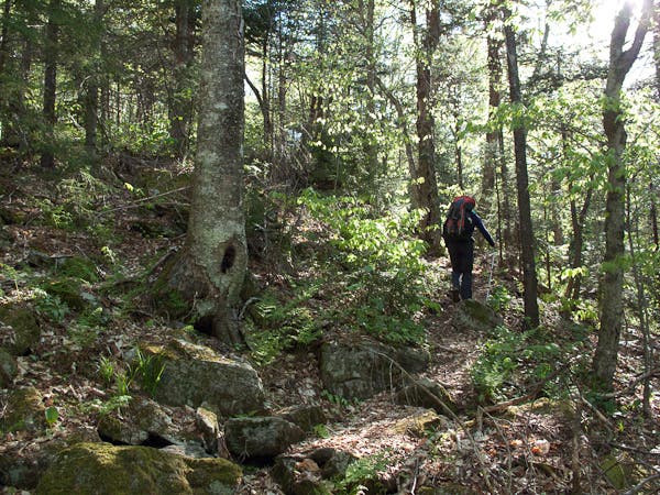
The Long Trail on the way down from Bear Mountain.
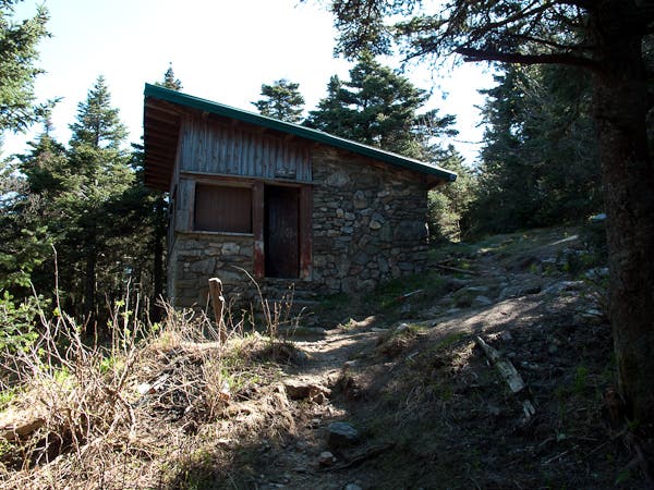
Minerva Hinchey Shelter
Location: 43.4880153, -72.9247785
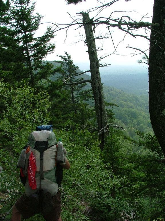
Gap in the Trees
Location: 43.511211, -72.9274607
A clearing in the tree cover affords a westward view worth pausing for.
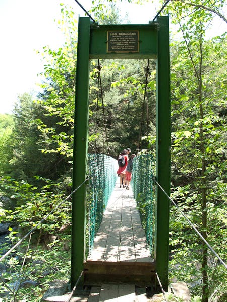
Bob Bruggman Bridge
Location: 43.52124, -72.925217
Crossing the Mill River over a memorial bridge.
Clarendon Lookout
Location: 43.5255263, -72.9219675
Clarendon Shelter
Location: 43.5236126, -72.9126763
Governor Clement Shelter
Location: 43.5646426, -72.8483999
Heading up Little Killington
Location: 43.581774, -72.828018
Cooper Lodge
Location: 43.606038, -72.822746