Long Trail (Section 04): Mad Tom Notch to VT 140

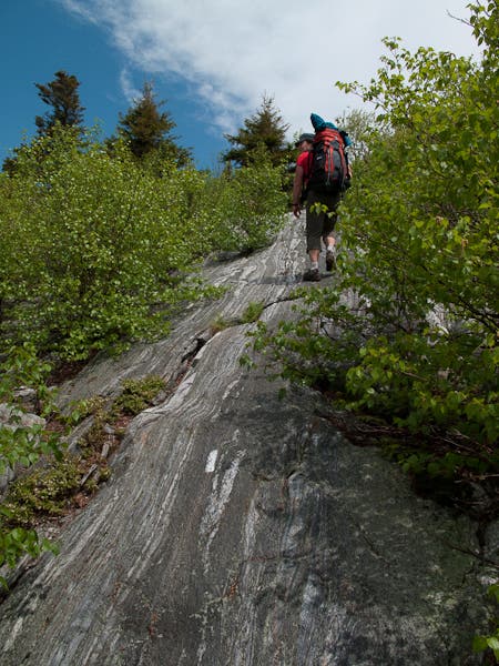
Starting at Mad Tom Notch and running north to VT 140 just outside Wallingford, Vermont, this 19.2-mile stretch of the Long Trail, starts with a short but steep climb to the ridge connecting Styles and Peru Peak. From there, the route follows a mostly downhill course (with the exception of a fun rock slab climb up Baker Peak) to its low-point about 10 miles in near the Big Branch shelter (and swimming area). From there, the LT continues on a gradual grade to Little Rock Pond (with a shelter and shorefront tent platforms) before a final climb up to the White Rocks cliff overlook. From there, it’s a steep 1,300-foot drop down to the end of the section at VT-140.
Shelters: Peru Peak, Lost Pond, Lula Tye, Little Rock Pond, Greenwall.
Water notes: From Mad Tom Notch, the first reliable water source is 4.3 miles in at the Peru Peak shelter.
-Mapped by Berne Broudy, AuthenticOutdoors.com
MORE LONG TRAIL MAPS
Section 1 | Section 2 | Section 3 | Section 4 | Section 5 | Section 6 | Section 7 | Section 8 | Section 9 | Section 10 | Section 11 | Section 12
Trail Facts
- Distance: 31.0
Waypoints
LNG047
Location: 43.2580495, -72.9383612
Begin hiking north on the white-blazed Long Trail (also Appalachian Trail) from Mad Tom Notch Rd./USFS-21. The trail immediately begins climbing Styles Peak, switchbacking a few times on the steep upper slopes en route to the summit.
LNG048
Location: 43.2736301, -72.9380188
From the top of Styles Peak, the LT/AT trek along the top of the ridge that connects to Peru Peak, about 1.6 miles north.
LNG049
Location: 43.3012466, -72.952841
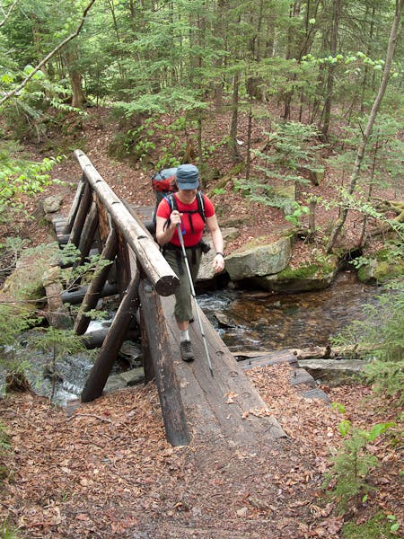
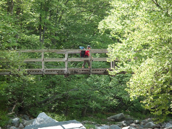
A steep, rocky, and muddy path leads down to the Peru Peak shelter. Ahead, the LT crosses a series of man-made bridges.
LNG050
Location: 43.3031371, -72.9581416
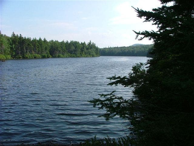
Pass a nice tenting area alongside Griffith Lake (a nice spot to take a dip on a hot day). Just ahead, continue straight on the white-blazed LT past junctions for both the Old Job Trail and the Lake Trail.
LNG051
Location: 43.3234076, -72.9652815
The LT continues up Baker Peak past a junction with the top of the Lake Trail.
LNG052
Location: 43.3249279, -72.9630804
The climbing levels off atop the broad forested summit of Baker Peak. Ahead, the LT heads north on a gradual descent.
LNG053
Location: 43.347075, -72.952588
Pass a junction to the Lost Pond shelter on the left.
LNG054
Location: 43.3632697, -72.9428683
Turn left on the LT to walk alongside and then cross the Ten Kilns Brook. A right turn here leads to the Old Job lean-to (not maintained by the Green Mountain Club as LT shelters are). There are also nice tenting areas on the stretch alongside the brook.
LNG055
Location: 43.371232, -72.961172
As USFS-10, turn left on the brief road and then, just ahead, right off the road heading north on the trail again. This area is popular with local runners.
LNG056
Location: 43.3954564, -72.9551129
Pass a junction to the Lula Tye shelter (a short walk from the LT). Just ahead there are some tent platforms at Little Rock Pond.
LNG057
Location: 43.4038313, -72.9534061
Pass a junction with the Little Rock Pond shelter. The Long Trail continues heading northeast before climbing 400 feet up to the top of the White Rocks ridge.
LNG058
Location: 43.4430098, -72.9425527
Pass a junction with a short (.2 mi) trail to the top of the White Rocks cliff overlook. Ahead the trail descends.
LNG059
Location: 43.4422344, -72.9334043
Pass a junction to the Greenwall shelter. The Long Trail continues descending.
LNG060
Location: 43.4484637, -72.9378462
Turn right on the LT/AT, passing the junction with the Keewaydin Trail. The trail meets Bully Brook just ahead.
LNG061
Location: 43.4548756, -72.9357619
Cross the dirt road (Sugar Hill Rd.) and proceed to the end of the section at the crossing of VT-140.
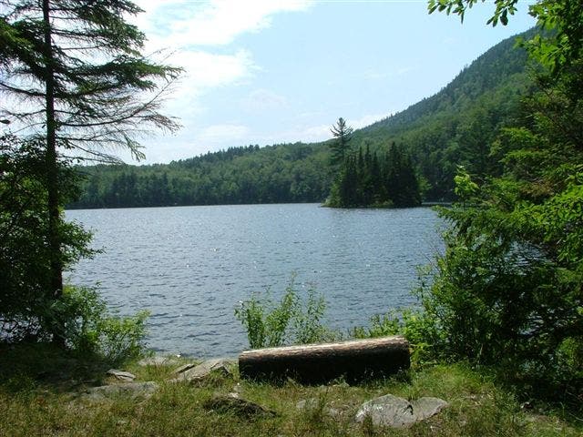
Little Rock Pond
Location: 43.3987803, -72.9552698
Bridge Crossing
Location: 43.301399, -72.953902
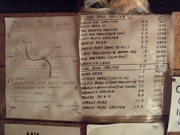
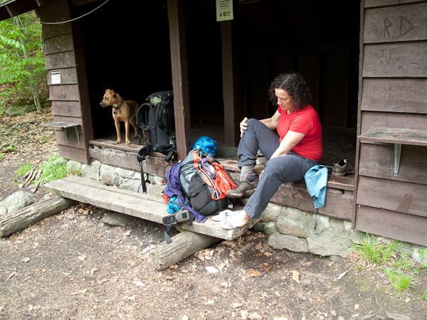
Peru Peak Shelter Map
Location: 43.301342, -72.952547
Griffith Lake
Location: 43.3060682, -72.9586601
Up and Onwards
Location: 43.323979, -72.964686
Navigating rock slab on the approach to Baker Peak
Brook Crossing
Location: 43.363267, -72.944146
Big Branch Shelter
Location: 43.3641975, -72.9465151
An old but maintained shelter with a nice swimming area near by.
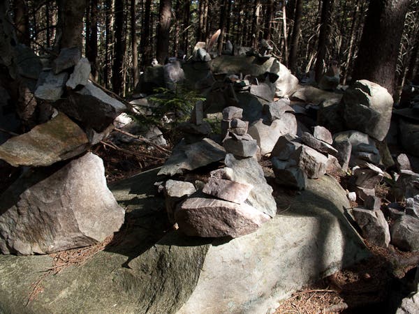
Boulder Field Cairns
Location: 43.433028, -72.941973