Long Trail (Section 03): Stratton-Arlington Road to Mad Tom Notch

This third section of Vermont’s Long Trail (which is blazed white and shares a tread with the Appalachian Trail on this route) begins in earnest with a 1,300 foot climb up Stratton Mountain. In adverse weather, a 3.5-mile bypass trail starts just down the road from the LT’s juncture with Stratton-Arlington Road.
After enjoying a grand view at a fire tower overlook at the summit, then descend northwest toward the Stratton Pond shelter (and tent camping areas) near the aforementioned pond. Further on, the Long Trail crosses the Winhall River and Bourn Brook on manmade bridges before skirting past outstanding Green Mountain vistas at Prospect Rock and Spruce Peak.
After a short descent to VT 11 (another main road access point for the LT), continue northwest on the final climb of the day up Bromley Mountain. After passing the Bromley shelter, the route picks up a ski trail on the backside of Bromley Ski Resort for the final approach to the top. Pick your way down a steep and rocky path on the high slopes of Bromley before tracing the ridge spine down to the end of the section at Mad Tom Notch.
Shelters: Stratton Pond, William B. Douglas, Spruce Peak, Bromley
-Mapped by Berne Broudy, AuthenticOutdoors.com
MORE LONG TRAIL MAPS
Section 1 | Section 2 | Section 3 | Section 4 | Section 5 | Section 6 | Section 7 | Section 8 | Section 9 | Section 10 | Section 11 | Section 12

Trail Facts
- Distance: 39.8
Waypoints
SBP001
Location: 43.061456, -72.986664
Optional Stratton Mountain Bypass: On gnarly weather days, the exposed summit of Stratton Mountain can be bypassed by this 3.5-mile route that picks up at the intersection of USFS-71 and Stratton-Arlington Road. The bypass route rejoins the Long Trail at Stratton Pond.
LNG029
Location: 43.061165, -72.968582
At its crossing on Stratton-Arlington Road, the Long Trail (also the AT) heads east from the Branch Deerfield River, then departs back into the woods from the far end of the parking lot.
LNG030
Location: 43.068466, -72.949165
Cross a jeep road. Ahead, the climb up Stratton Mountain increases in pitch, gaining approximately 1,300 feet in the next 2.1 miles.
LNG031
Location: 43.085934, -72.924896
Stratton Mountain (3,936 ft.): A summit firetower offers great Green Mountain views. Continue downhill, heading northwest from the summit.
LNG032
Location: 43.099983, -72.946182
Shortly after a spring, cross a jeep road to continue west towards Stratton Pond. Ahead the trail meets a small river.
LNG033
Location: 43.102001, -72.96405
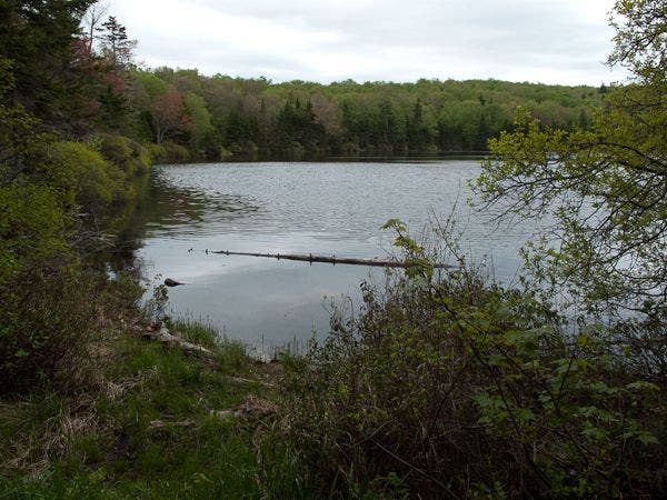
Turn right to continue north along Stratton Pond on the Long Trail. This junction also leads to the Stratton Pond shelter. A tenting area is available here via the North Shore Trail.
LNG034
Location: 43.103233, -72.96456
Continue to the right at Stratton Pond. Tenting areas are available to the left and right here.
LNG035
Location: 43.104481, -72.964438
Go right on the Long Trail, heading away from the pond.
LNG036
Location: 43.123454, -72.976139
Cross a bridge over the Winhall River.
LNG037
Location: 43.150295, -72.991653
After passing the turnoff for the William B. Douglas shelter, cross a bridge over Bourn Brook. Shortly ahead the trail joins a forest road.
LNG038
Location: 43.154015, -73.008276
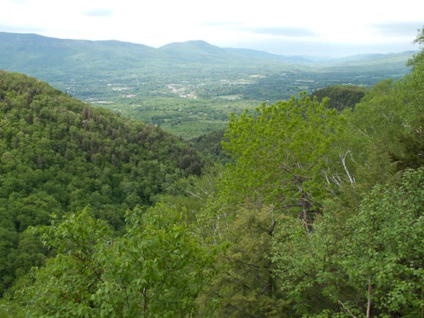
The Long Trail turns off the road here heading northeast, passing Prospect Rock (and a great view point) on the left–and the only trash can on the entire Long Trail!
LNG039
Location: 43.179416, -72.994071
The trail to Spruce Peak shelter shoots off to the left towards a fully enclosed shelter with wood burning stove in center, large sleeping lofts, a dining area and front porch.
LNG040
Location: 43.185304, -72.993086
A detour trail leads to Spruce Peak; the white-blazed Long Trail/AT continues northeast.
LNG041
Location: 43.200796, -72.973616
Head northeast towards VT-30/11,
LNG042
Location: 43.206642, -72.970659
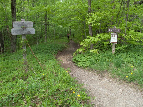
The LT crosses VT-11/30 and continues from the parking lot on the far side of the road.
LNG043
Location: 43.21427, -72.966485
Cross Bromley Brook; shortly ahead, the trail also crosses a jeep road.
LNG044
Location: 43.22272, -72.951662
Turn right for the Bromley Shelter, or continue up towards the Bromley Mountain Summit. Shortly ahead you’ll pass a broad viewpoint; the final approach to the summit is up a cleared ski trail.
LNG045
Location: 43.227788, -72.939863
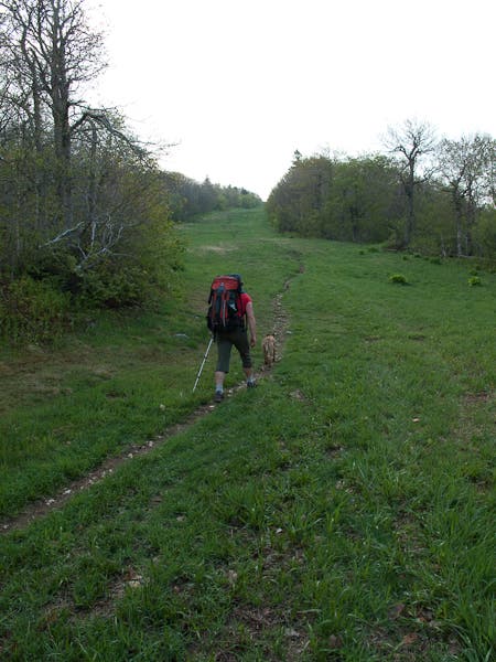
Bromley Mountain: From the top of the ski area, the Long Trail heads north down a steep and rocky descent.
LNG046
Location: 43.257604, -72.938177
Section 3 ends at Mad Tom Notch Road (near Mad Tom Notch). There is a water pump here and a grassy area that would make for a nice spot to camp.
Stratton Pond
Location: 43.103509, -72.964405
Crossing Bourn Brook
Location: 43.150459, -72.991747
Prospect Rock View
Location: 43.15402, -73.008268
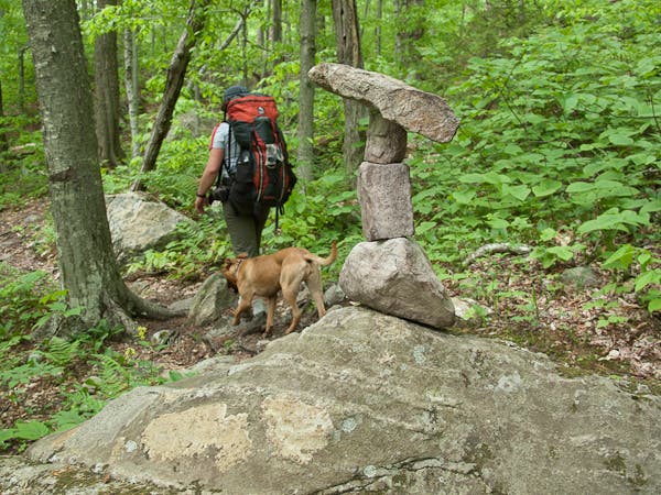
Balanced Cairn
Location: 43.204096, -72.971963
The AT/LT Continues
Location: 43.208679, -72.968402
Bromley Shelter
Location: 43.222378, -72.950334
A Trail on a Trail
Location: 43.228002, -72.941702
The Long Trail cuts through a ski trail on the route up to Bromley Mountain.
Descending Bromley
Location: 43.229472, -72.939324
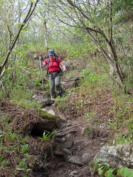
The initial descent from Bromley Mountain is steep and rocky.