Long Trail (Section 02): VT 9 to Kelley Stand Road

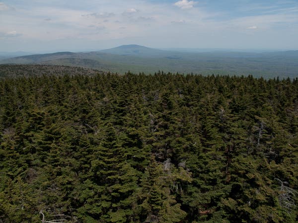
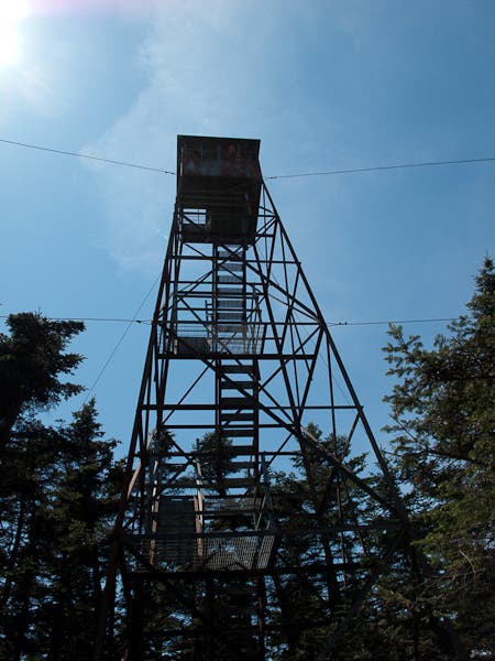
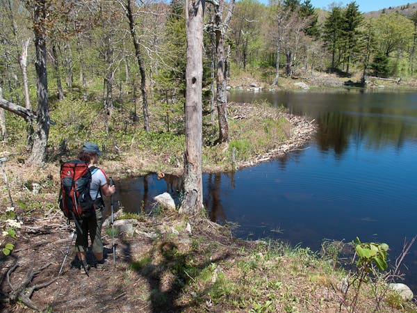
Starting from a roadside parking area on VT 9, section 2 of the Long Trail is a wake-up call for thru-hikers. This 19.6-mile route is rarely (if ever) flat, gaining approximately 5,300 feet of elevation while losing 4,300 feet. From Dunville Hollow, the route climbs steeply from the get-go, passing the Melville Nauheim and Congdon shelters before topping out at the summit of Glastenbury Mountain. Here, a fire tower overlook offers above-the-trees views of the neighboring forest. Next, trace the spine of the ridge down an undulating descent (passing an impressively long beaver pond), passing two more shelters before syncing up with USFS-71 on the final approach to Kelley Stand Road.
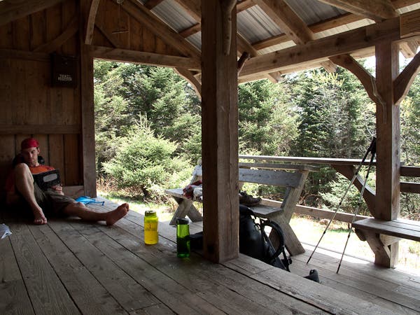
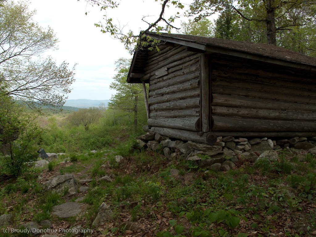
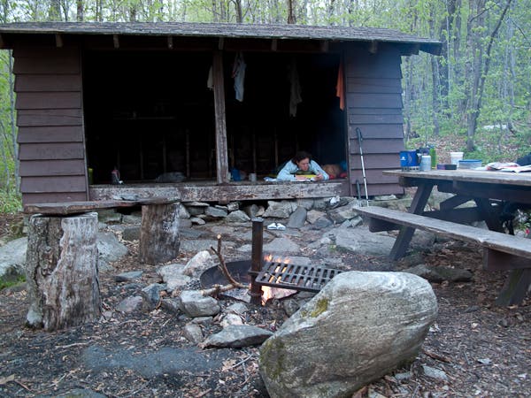
Shelters: Melville Nauheim, Goddard, Kid Gore, Story Spring.
Water source notes: there are no reliable water sources between Hell Hollow Brook and the Congdon shelter.
-Mapped by Berne Broudy, AuthenticOutdoors.com
MORE LONG TRAIL MAPS
Section 1 | Section 2 | Section 3 | Section 4 | Section 5 | Section 6 | Section 7 | Section 8 | Section 9 | Section 10 | Section 11 | Section 12
Trail Facts
- Distance: 33.5
Waypoints
LNG016
Location: 42.8849514, -73.1154953
From the parking lot on VT-9 (toilet available), the Long Trail crosses City Stream and immediately begins a steep ascent up rock steps.
LNG017
Location: 42.8880114, -73.0964936
Turn right for the Melville Nauheim shelter; otherwise continue north on the Long Trail.
LNG018
Location: 42.8944031, -73.0921239
Just below the summit of Maple Hill, the Long Trail enters the Glastenbury Wilderness.
LNG019
Location: 42.906561, -73.0873829
Cross Hell Hollow Brook; if you have time to linger (and it’s a hot day), there’s a swimming hole here.
LNG020
Location: 42.9740855, -73.0722248
Shortly after leaving the Glastenbury Wilderness, the trail passes a junction down to the Goddard Shelter here. Just ahead, reach the firetower near the summit of Glastenbury Mountain.
LNG021
Location: 43.0144009, -73.0433422
Near the bottom of the descent from Glastenbury, the trail passes a junction to the Kid Gore Shelter.
LNG022
Location: 43.0235334, -73.0374565
Come to a powerline view point with a bench.
LNG023
Location: 43.0415515, -73.0192102
Here the trail encounters the first of two crossings of South Alder Brook. Ahead, the trail skirts a long beaver pond.
LNG024
Location: 43.0503816, -73.0124812
A short walk from the end of the section, the trail passes the Story Spring Shelter.
LNG025
Location: 43.0538261, -72.9903413
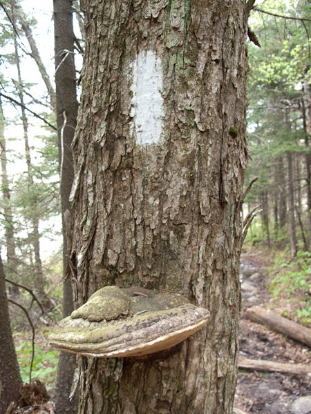
The white-blazed Long Trail continues straight across USFS-71. Note: in bad weather, you may want to consider bypassing the exposed summit of Stratton Mountain. To do so, turn left here, continue to the T-junction with Stratton-Arlington Rd., make a right and then a quick left onto a trail route that bypasses Stratton Mountain and rejoins the Long Trail at Stratton Pond.
LNG026
Location: 43.053318, -72.9748306
Cross Black Brook.
LNG027
Location: 43.0538178, -72.9718018
Here the Long Trail/AT turn east off of a jeep road.
LNG028
Location: 43.0611954, -72.9685974
The Long Trail/AT turns east on Stratton-Arlington Rd., crosses East Branch Deerfield River, then heads W @ the far end of the parking lot.
Goddard Shelter
Location: 42.9738518, -73.0723
Glastenbury Summit View
Location: 42.977841, -73.071544
Fire Tower Summit
Location: 42.977841, -73.071544
Atop Glastenbury Mountain
Beaver Pond
Location: 43.046132, -73.013792
White Blaze
Location: 43.046561, -73.013826
Kid Gore Shelter
Location: 43.014093, -73.0429459
Story Spring Shelter
Location: 43.0503878, -73.0123043