Long Trail (Section 01): Pine Cobble Road to VT 9

Stop just dreaming about a thru-hike; make it real! Our online Thru-Hiking 101 class covers everything you need to plan and finish the long-distance hike of your dreams. Start it instantly, complete it at your own pace, access it forever. Sign up now!
Although the official tread of Vermont’s Long Trail doesn’t start until the Massachusetts-Vermont state line, this first section of the northeast’s most storied thru-hike begins just outside Williamstown in the north corner of Massachusetts. The trail picks up a significant climb right from the gun, scaling Pine Cobble and then East Mountain before accessing the Appalachian Trail on the approach to the state line.
The official Long Trail continues north/northeast on a remote and rugged path. On this section you’ll cross numerous logging and jeep roads as the trail skirts beaver ponds, power line clearings, and wooded summits in southern Vermont. This section’s steepest pitch comes on the final rock-step descent from Harmon Hill to VT 9.
Shelters: Seth Warner and Congdon Shelter.
-Mapped by Berne Broudy, AuthenticOutdoors.com
MORE LONG TRAIL MAPS
Section 1 | Section 2 | Section 3 | Section 4 | Section 5 | Section 6 | Section 7 | Section 8 | Section 9 | Section 10 | Section 11 | Section 12
Trail Facts
- Distance: 26.3
Waypoints
LNG001
Location: 42.7161007, -73.1852766
From the parking lot on Pine Cobble Road, cross the street, and turn left to walk north alongside the pond toward the Pine Cobble Trailhead.
LNG002
Location: 42.7164871, -73.1852956
At the Pine Cobble Trailhead, turn right off the road and walk around the other side of the pond. Shortly ahead, the route heads east up an increasing climbing grade.
LNG003
Location: 42.7220056, -73.1668867
Turn right for a .1-mile detour to the Pine Cobble summit; turn left to continue heading northeast and join the Appalachian Trail.
LNG004
Location: 42.7272775, -73.1610683
At the junction with the Appalachian Trail, continue heading north/northeast.
LNG005
Location: 42.743827, -73.1555051
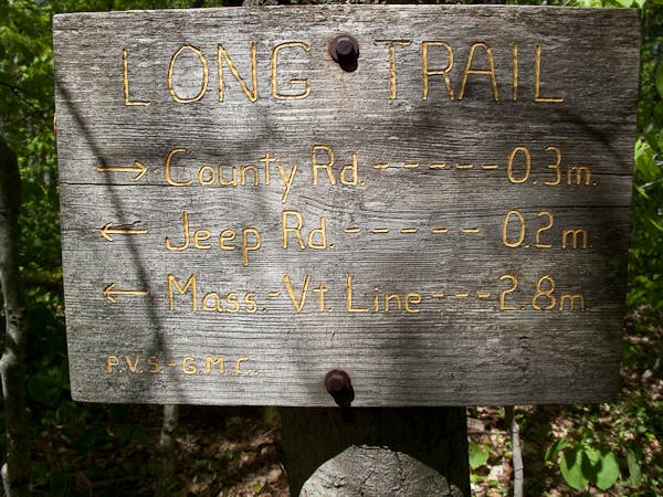
Cross into Vermont and onto the official Long Trail.
LNG006
Location: 42.7467905, -73.1503532
Continue through stream crossing.
LNG007
Location: 42.7689481, -73.136928
Continue across dirt road; the Seth Warner Shelter is just head. Beyond the shelter, the Long Trail crosses a dirt road again.
LNG008
Location: 42.7912107, -73.1186511
Here the climbing eases at a long power line clearing with a view.
LNG009
Location: 42.8084773, -73.1172209
The trail cuts right, leaving the logging road.
LNG010
Location: 42.82781, -73.1237863
Continue straight across the logging road.
LNG011
Location: 42.8406734, -73.1125689
Continue across jeep road crossing.
LNG012
Location: 42.8480091, -73.1097666
The Long Trail passes the Congdon Shelter. Continuing west on a slight uphill grade, the trail crosses a logging road just ahead.
LNG013
Location: 42.8584928, -73.1301329
Continue north across a poorly marked logging road crossing. The trail crosses the road again in another 100 yards or so.
LNG014
Location: 42.8711672, -73.1324248
From the top of Harmon Hill, the trail descends gradually, then down very steep steps for the last half-mile of section 1.
LNG015
Location: 42.8849514, -73.1154953
Section 1 ends and Section 2 begins at this parking lot on Route 9. A toilet is available here.
Rugged Terrain
Location: 42.726785, -73.161741
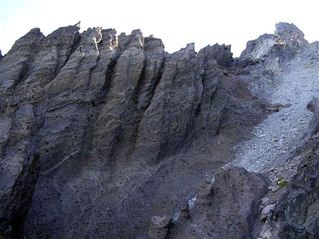
Rough terrain is common on the Long Trail.
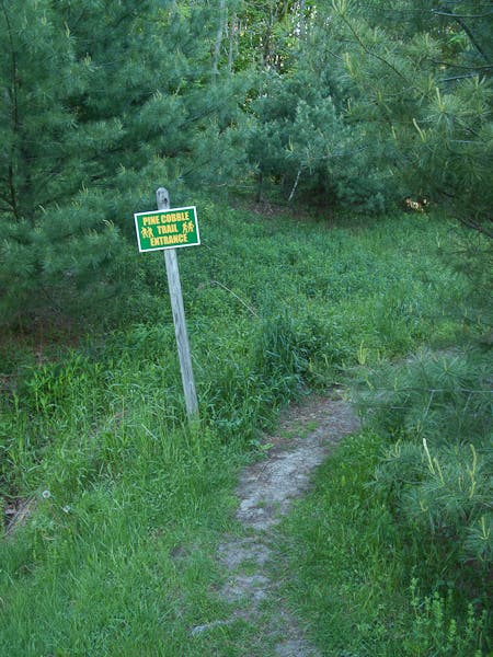
Pine Cobble Trail
Location: 42.715474, -73.184447
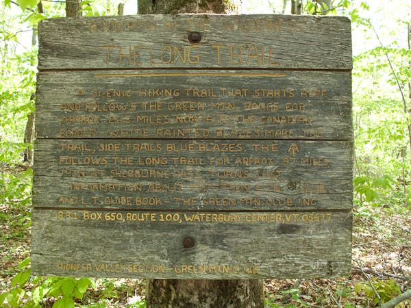
The Official Long Trail Start
Location: 42.744102, -73.155335
Seth Warner Shelter Junction
Location: 42.771208, -73.134524
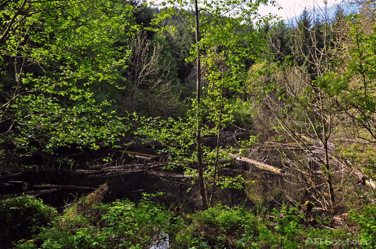
Beaver Pond
Location: 42.801563, -73.117107
The Long Trail skirts a large beaver pond.
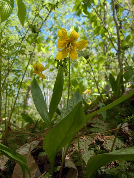
Long Trail Flora
Location: 42.818014, -73.122417
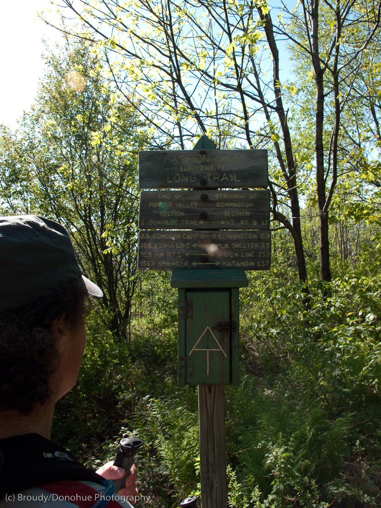
Harmon Hill
Location: 42.8711207, -73.1317377