Lincoln National Forest, NM: Canyons, Creeks and Springs

Wandering through the rugged western reaches of the White Mountain Wilderness, this figure-eight loop climbs from a canyon bed to a high meadow peppered with a pair of springs. From the trailhead at the end of Forest Road 107, follow the Big Bonito Trail (Lincoln National Forest Trail 36) as it meanders alongside the Little Bonito Creek. The creek holds water underground, but is usually dry on the surface. Within the hike’s first mile, you’ll pass by two abandoned mine shafts cutting into the rocks on the trail’s south side. Just after passing the Silver Spoon Mine, bear right onto the Little Bonito Trail (37) to head toward a six-trail junction just south of Argentina Peak. Take the second fork to your left to follow the Phantom Trail (29) west.
Fill up on water at the Spring Cabin Spring, accessed by a small side trail, before winding south through a ridgeline meadow offering prime panoramas of the lowlands to the west. Set up camp in the meadow or continue south on the Phantom Trail toward a junction with the Crest Trail (25), which you’ll follow north. After a long descent from the western hillside of Spring Point, head uphill to return to the six-way junction. Staying straight on the middle fork brings you to Argentina Peak (9,198 feet), but this route bends back to the east by following the Cut Across Trail (38) into Argentina Canyon, which is frequented by mule deer. Return to the trailhead by heading downhill on Argentina Canyon Trail (39).
-Mapped by Rick Schneck

Trail Facts
- Distance: 12.2
Waypoints
LNF001
Location: 33.463436, -105.804605
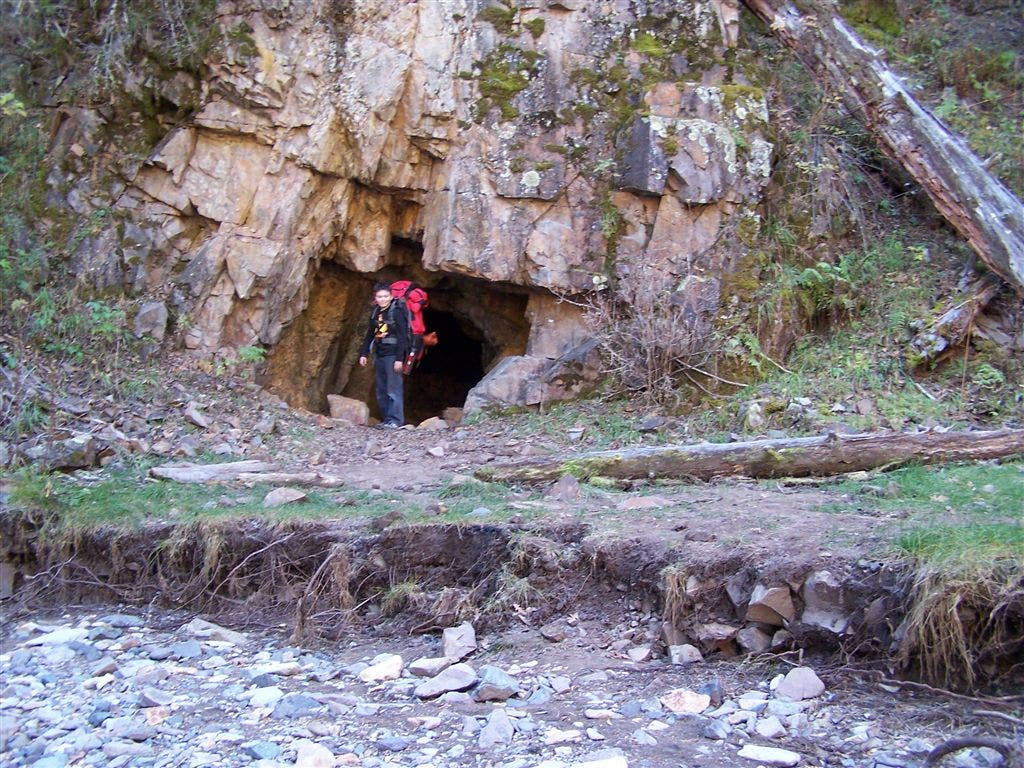
From the parking lot at the end of Forest Road 107, head southwest on the Big Bonito Trail (36). You’ll pass an old mine cutting into the hill south of the trail.
LNF002
Location: 33.462362, -105.823166
At Y-junction, bear right onto the Little Bonito Trail (37). The Big Bonito Trail (36) forks south.
LNF003
Location: 33.46664, -105.834861
At Y-junction, bear right to stay on Little Bonito Trail (37). Right fork climbs toward top of Little Bonito Spring.
LNF004
Location: 33.467911, -105.839496
Bear left at Y-junction. Argentina Canyon Trail (38) forks right.
LNF005
Location: 33.467786, -105.843208
At the six-way junction, take the second fork to your left to pick up the Phantom Trail (29).
LNF006
Location: 33.466425, -105.846834
Turn left off the Phantom Trail to fill up water bottles at the Spring Cabin Spring.
LNF007
Location: 33.466157, -105.846062
Spring Cabin Spring: water sleeps slowly into a covered container, sometimes a bit muddy.
LNF008
Location: 33.463131, -105.84861
Camping is available in the meadows on the east side of the Phantom Trail. Use Spring Canyon Spring (LNF009) or Spring Creek Spring (LNF007) for water.
LNF009
Location: 33.461964, -105.847939
Turn right off Phantom Trail to access Spring Canyon Spring.
LNF010
Location: 33.454682, -105.848529
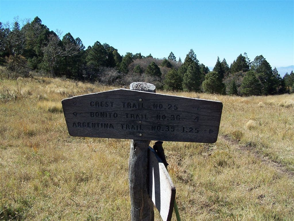
At Y-junction, take left fork onto Crest Trail (25). The Phantom Trail continues south.
LNF011
Location: 33.467678, -105.843186
At six-way junction, take first right toward the Cut Across Trail (38). The middle fork, which continues to follow the Crest Trail, leads to Argentina Peak.
LNF012
Location: 33.468054, -105.839581
At the Y-junction, turn left onto the Cut Across Trail (38) to connect to the Argentina Canyon Trail (39).
LNF013
Location: 33.472583, -105.829132
At Y-junction, turn right onto the Argentina Canyon Trail (39) to return to the trailhead. Left fork leads north to Argentina Spring.
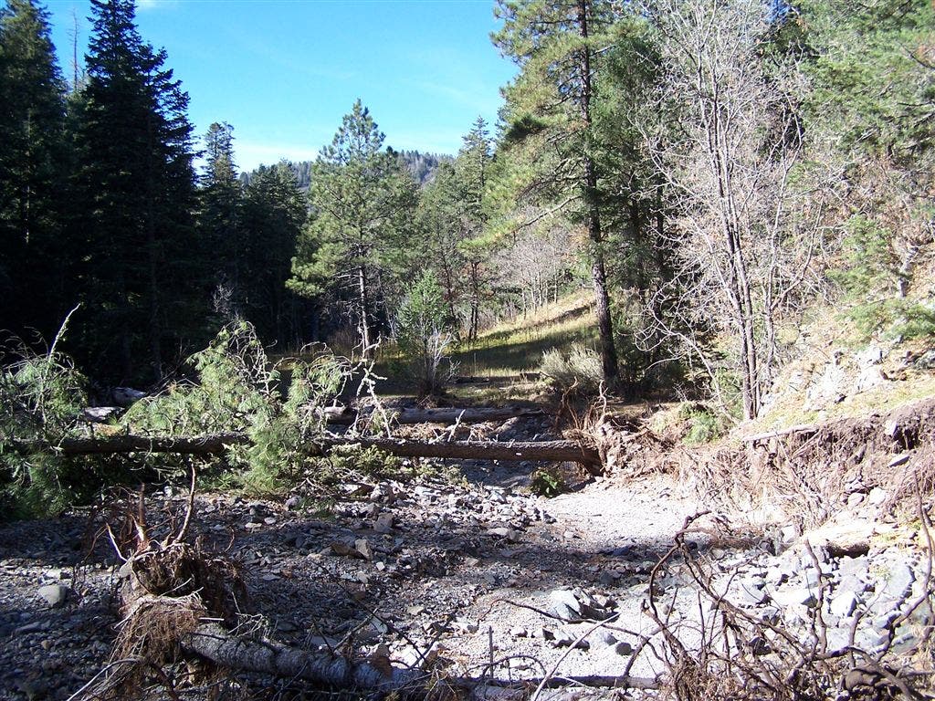
Little Bonito Creek
Location: 33.462795, -105.80545
Though it may appear dry, depending on the season, Little Bonito Creek actually holds water below ground.
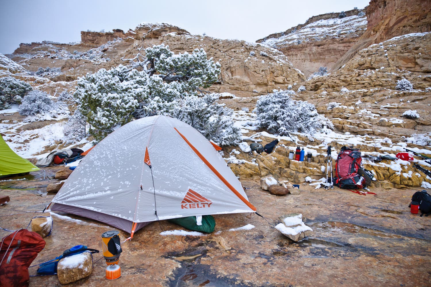
Campsite
Location: 33.463561, -105.804005
Camping is available near the Big Bonito/Argentina Canyon Trailhead.
Silver Spoon Mine
Location: 33.461001, -105.817416
At mile 0.8, pass the Silver Spoon Mine on the south side of the Big Bonito Trail.
Approaching Six-Way Junction
Location: 33.467947, -105.840418
Traverse the lower reaches of Argentina Peak’s south face before reaching a six-way junction.
Six-Way Junction
Location: 33.467714, -105.843186
Six trails collide at the junction just south of Argentina Peak.
Phantom Trail Vistas
Location: 33.466819, -105.847092
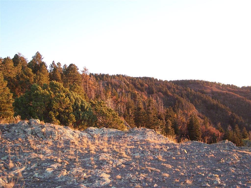
Nab magnificent down-valley views while heading south on the Phantom Trail.
Meadows
Location: 33.464958, -105.849044
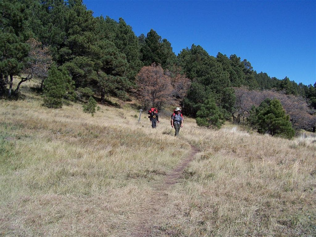
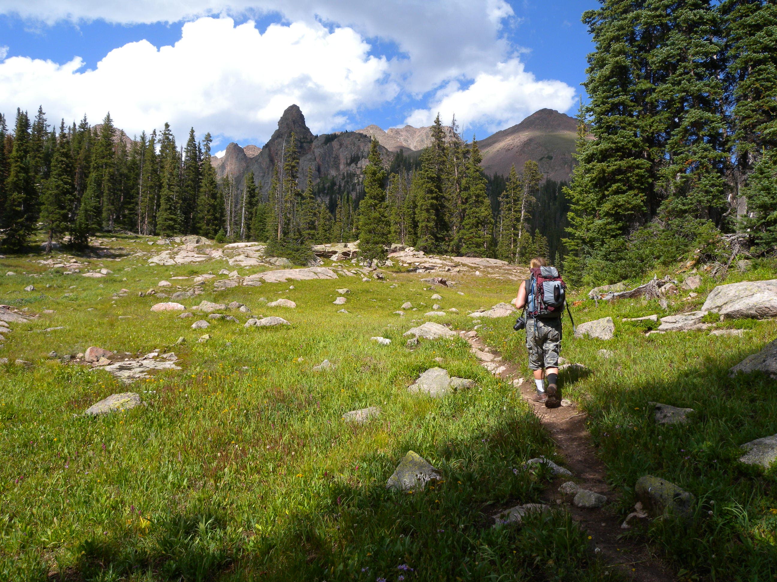
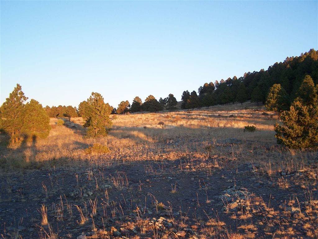
Slice through sun-dappled meadows while heading south on Phantom Trail.
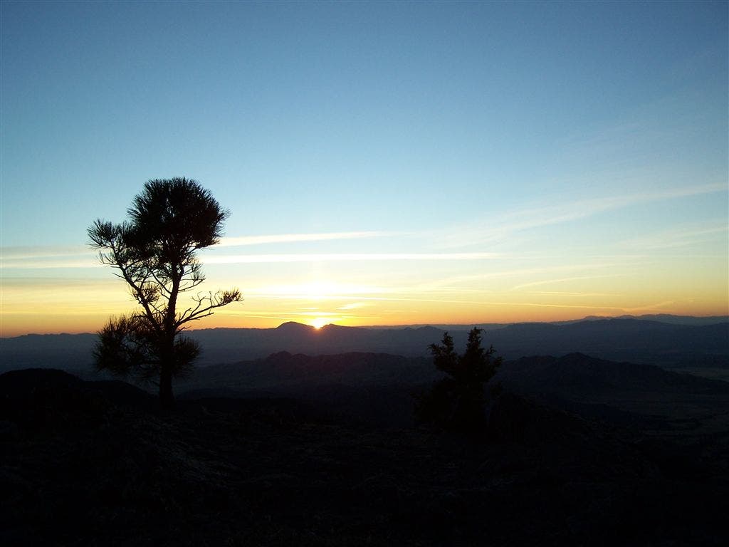
Sunset
Location: 33.463758, -105.849409
Notch spectacular sunset panoramas from a vantage point just west of the Phantom Trail.
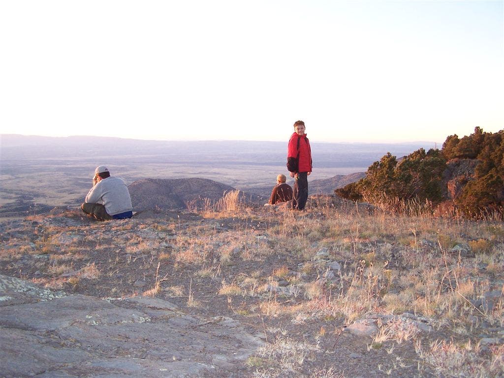
Western Vistas
Location: 33.464492, -105.849259
From the Phantom Trail, head west to an overlook offering prime panoramas of the flatlands below.
Phantom Trail
Location: 33.462881, -105.848722
Heading south on the Phantom Trail.
Crest Trail
Location: 33.466614, -105.843147
Climb back to the six-way junction via the Crest Trail.