Published September 20, 2013 03:29PM
Lassen Volcanic National Park: Bumpass Hell to Kings Creek Campground
Hit two alluring lakes while exploring a landscape carved by fire and chiseled by ice on this picturesque 9.2-mile out-and-back lined with plentiful wildflowers.
(Photo: Kevin Schafer via Getty Images)
Waypoints
BH001
Location: 40.466099, -121.514099
Gradual 500-ft. climb; to southeast, see Bumpass Mountain and surrounding terrain
BH002
Location: 40.46077, -121.510002
Descend into thermal area
BH003
Location: 40.45723, -121.5028
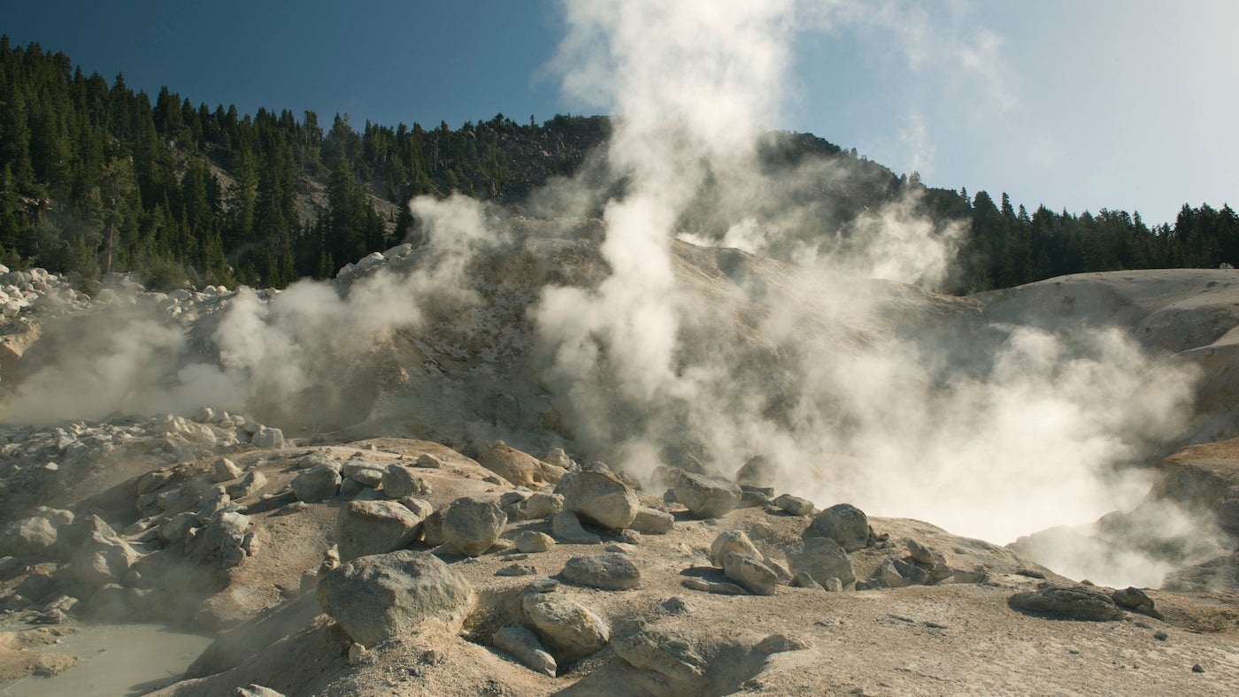
Left at 3-way to overlook of park’s largest geothermals. Stay on trails and boardwalks that protect brittle crusts.
BH004
Location: 40.45752, -121.5028
Bumpass Hell Overlook; thermal warning! Watch steam vents and mud pots. The man who gave Bumpass Hell its name lost a leg after falling into the boiling waters.
BH005
Location: 40.45203, -121.495903
Traverse beautiful meadows; glimpses of Crumbaugh Lake.
BH006
Location: 40.456261, -121.483002
Cold Boiling Springs Lake, where trapped CO2 gas rises and mimics boiling.
BH007
Location: 40.45557, -121.484001
Right at 3-way to Crumbaugh Lake; descend through cool forests.
BH008
Location: 40.449741, -121.488503
Left at 3-way; see Crumbaugh Lake. Lava cliffs encircle lake basin.
BH009
Location: 40.448109, -121.488197
Crumbaugh Lake. Take in secluded olive-green cradle ringed with greenery. Return to waypoint 7; turn right, heading east/northeast to Kings Creek Campground.
ADVERTISEMENT
BH010
Location: 40.459911, -121.474503
Kings Creek picnic area; retrace route to car. Sidetrip: 1.9-mi. and trek east along road to Kings Creek Falls for photogenic 30-ft. cascades; follow signs.