Las Vegas, NV: Mount Wilson via First Creek Canyon

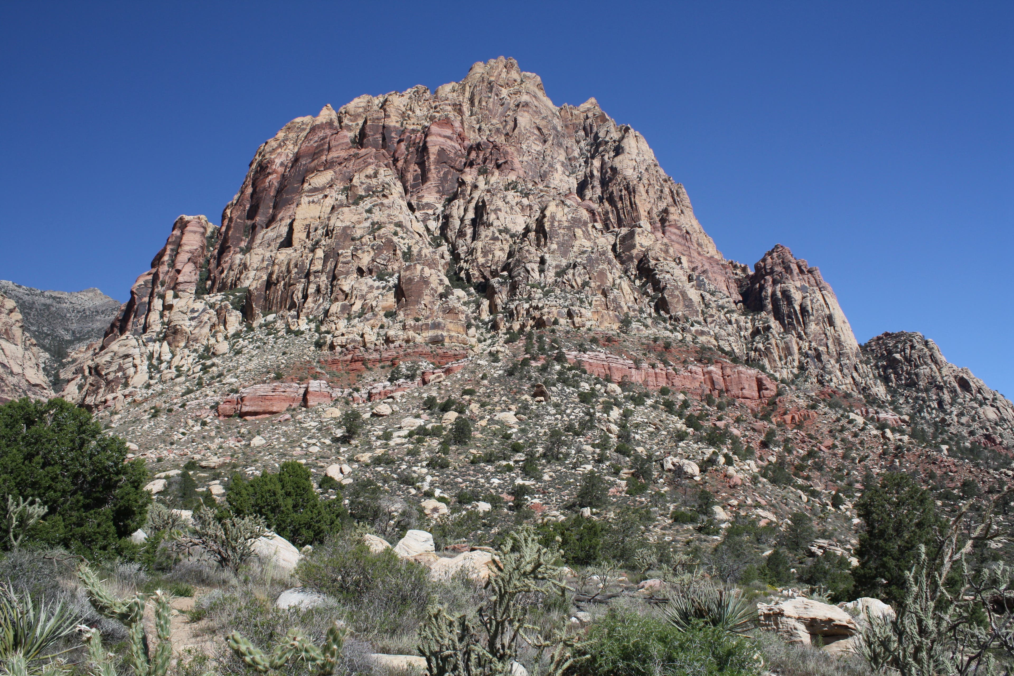
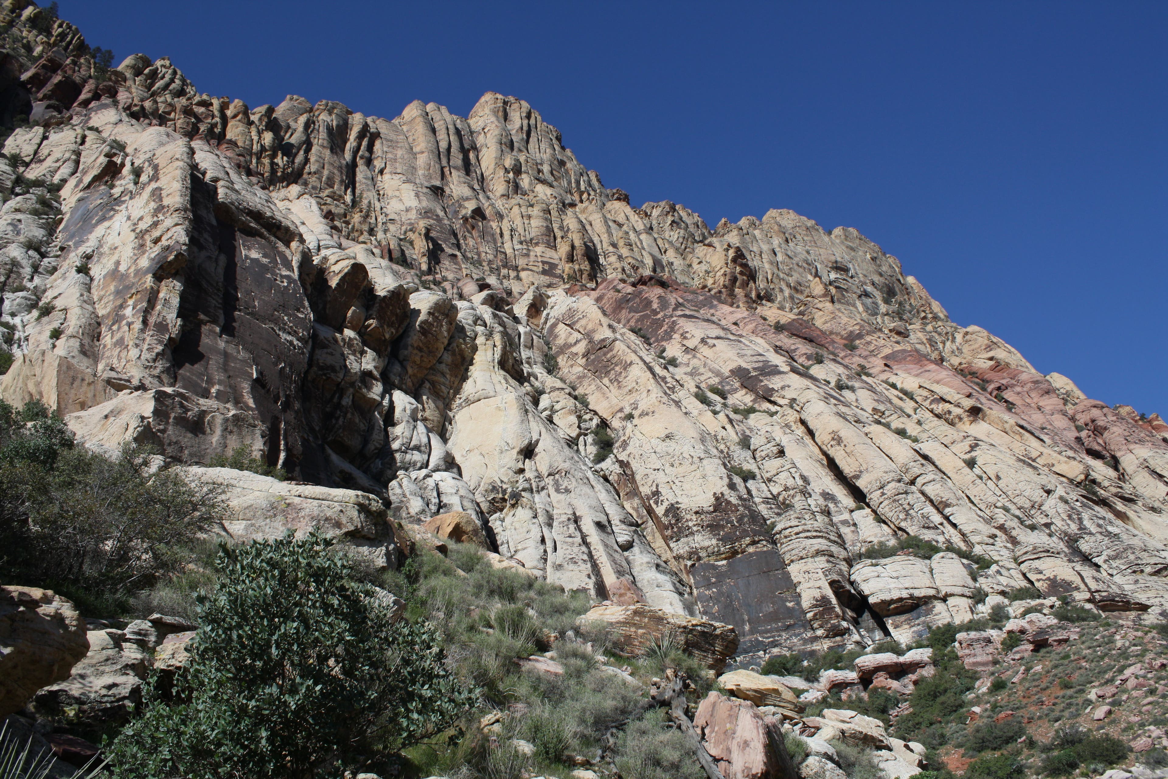
From the floor of Red Rock Canyon National Conservation Area, the sheer, red-and-tan-striped sandstone of Mt. Wilson’s east face appears unclimbable. But if you can handle class 3 terrain—meaning plenty of handholds accompanying holy-crap dropoffs—you’ll have the mountain to yourself. (Bonus: You’ll also earn an eagle-eye view of the Strip lighting up the night from a campsite below the summit.) The route sneaks around to the south via First Creek Canyon, and is a true navigational challenge.
Walk First Creek Trail toward the canyon and take the left fork at 1.4 miles. Watch for Indian paintbrush in late spring and Joshua trees and bighorn sheep year-round. The path eventually divides into many social trails—stay as near to the creek as possible, scrambling over boulders and up chimneys to the back of the canyon. Keep to the right as the canyon splits. When the steep north wall ends, leave the wash on a social trail and walk northeast up sandstone slabs to the summit. Pitch a tent in a small, flat site just south and slightly downhill from the summit (pack water). Allow seven to 10 hours round-trip.
GUIDEBOOK Hiking Las Vegas: 60 Hikes Within 60 Minutes of the Strip, by Branch Whitney ($8, huntingtonpress.com)
PERMITS None for camping above 5,000 feet; leave a message at the Red Rock Late Exit Line for overnight stays (702-515-5050).
CONTACT (702) 515-5050; blm.gov/nv/st/en.html
-Mapped by Chelise Simmons and Matt and Agnes Hage, hagephoto.com
Trail Facts
- Distance: 4.6
Waypoints
WIL001
Location: 36.081348, -115.447973
From the trailhead, head west on the well-marked trail.
WIL002
Location: 36.080433, -115.455612
Continue straight at 4-way junction.
WIL003
Location: 36.080321, -115.45897
Bear left at fork.
WIL004
Location: 36.080091, -115.464552
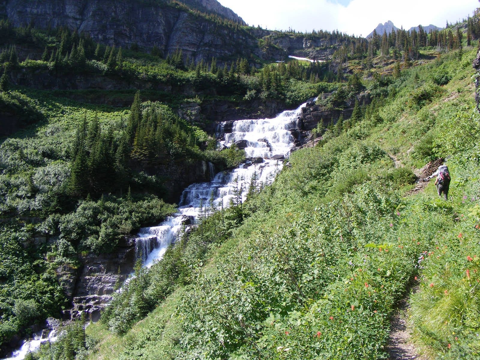
Veer right (west) at junction for a 0.2-mile side trip to a seasonal waterfall.
WIL005
Location: 36.080546, -115.465651
Scramble down the embankment to the waterfall. Return to WPT 4 and turn right.
WIL006
Location: 36.07876, -115.469243
Trail turns sandy and vegetation gets thicker. Continue west toward the canyon.
WIL007
Location: 36.079076, -115.476496
The official trail ends and the route-finding begins. Stay as near to the creek as possible, scrambling over boulders and up chimneys to the back of the canyon. Keep to the right as the canyon splits.
WIL008
Location: 36.082571, -115.486608
When the steep north wall ends, leave the wash on a social trail.
WIL009
Location: 36.08385, -115.485191
Walk northeast up sandstone slabs to the summit. Pitch a tent in a small, flat site just south and slightly downhill from the summit (pack water).
WIL010
Location: 36.093569, -115.484033
Mount Wilson (7,071 ft.): Crest the sheer, red-and-tan-striped sandstone of Mt. Wilson. You’ll also earn an eagle-eye view of the Strip lighting up the night from a campsite below the summit.
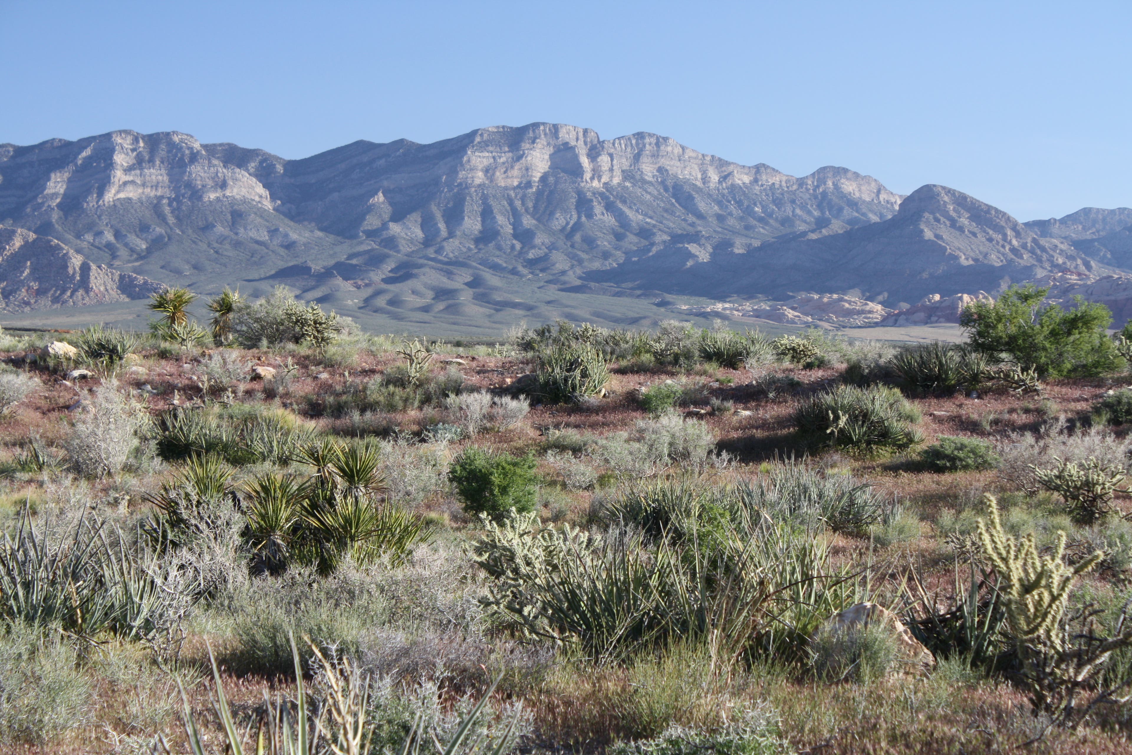
Views north of Calico Basin
Location: 36.08085, -115.449856
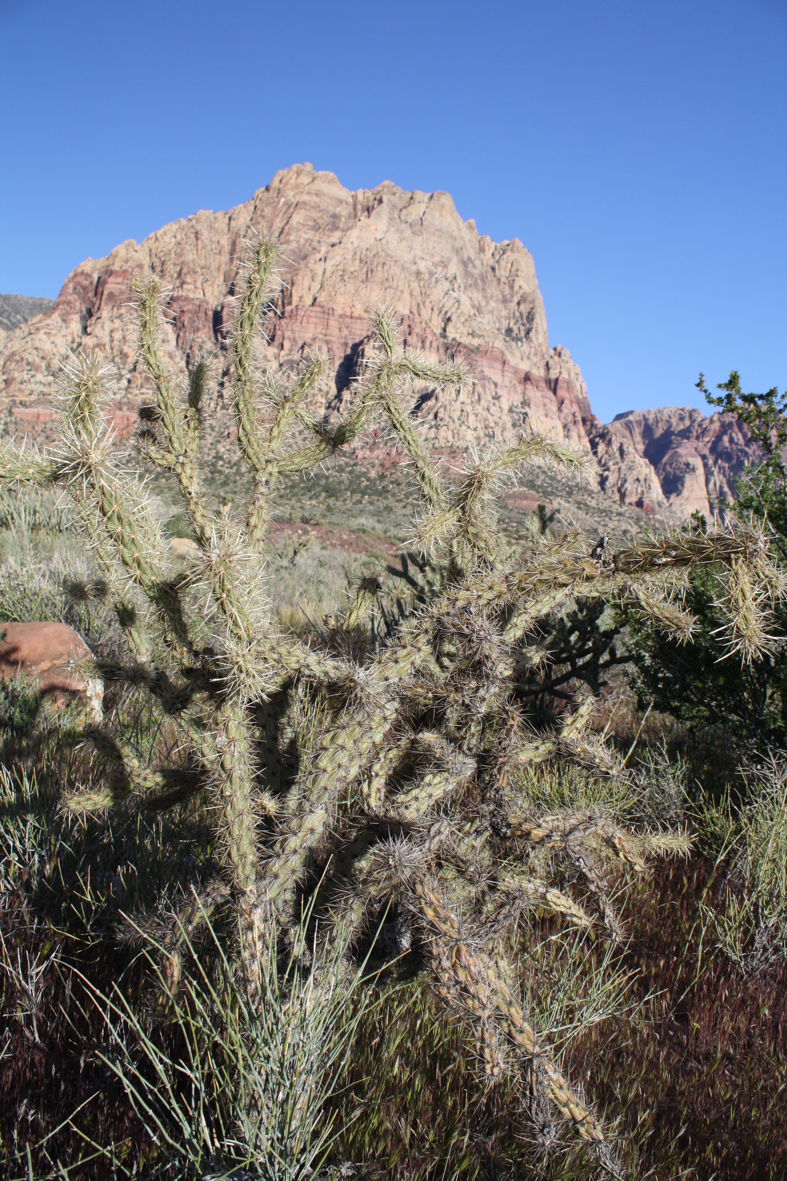
Mt. Wilson and cholla cactus
Location: 36.080806, -115.450661
Waterfall
Location: 36.080548, -115.465614
Mt. Wilson (7,068 ft.)
Location: 36.079401, -115.467312
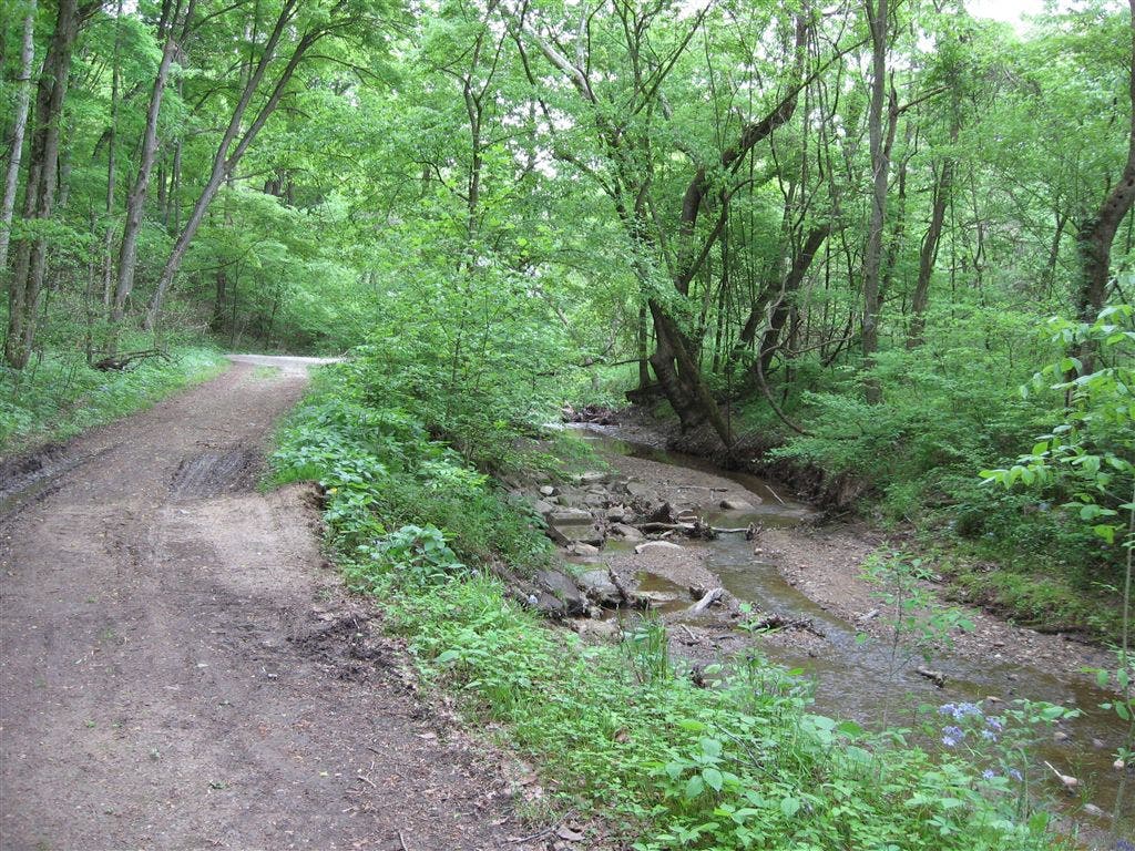
Creek
Location: 36.079107, -115.468047
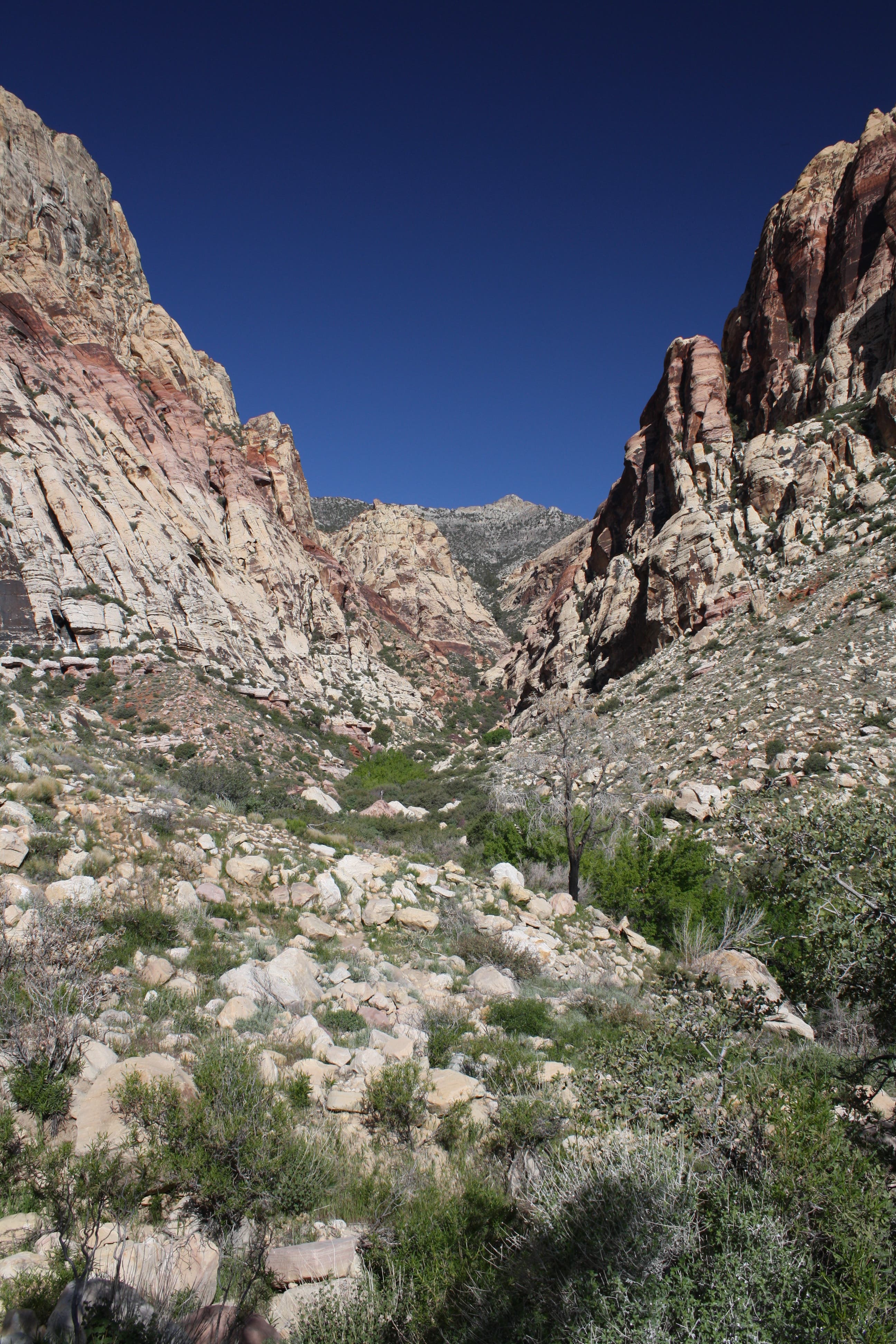
View up the canyon
Location: 36.078998, -115.473143
Views to the south
Location: 36.078764, -115.475246