Lake Tahoe, CA: DL Bliss State Park to Rubicon Point
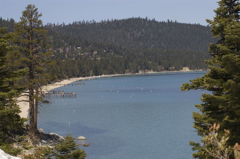
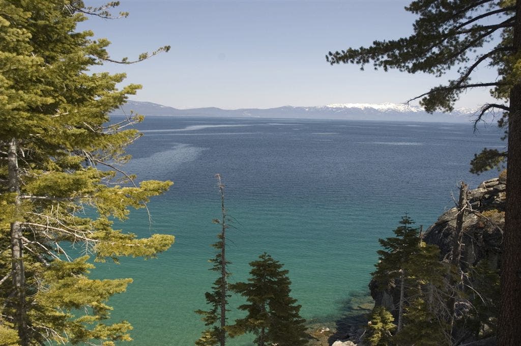
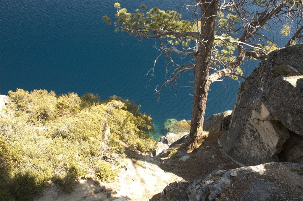
From parking lot, hike 0.9 miles on paved roads into DL Bliss State Park. Turn left onto the Rubicon Trail. The next mile passes overlooks, hillsides littered with boulders, and traces a steep, exposed rim above the south end of Lake Tahoe. Break at Rubicon Point, a stunning overlook above the second deepest lake in the United States (more than 1,600 feet deep). This geological icon isn’t a lake, but more a giant fracture in the Earth’s crust that, over the eons, has been filled with snowmelt and rain.
Take photos–lots of them.
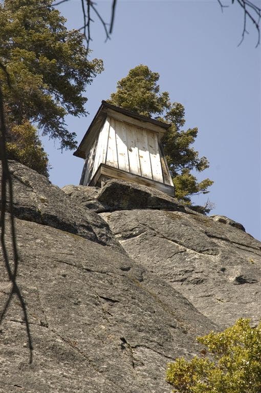
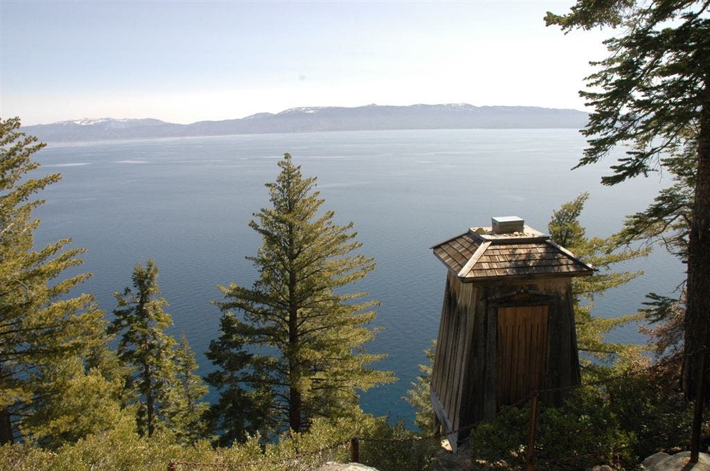
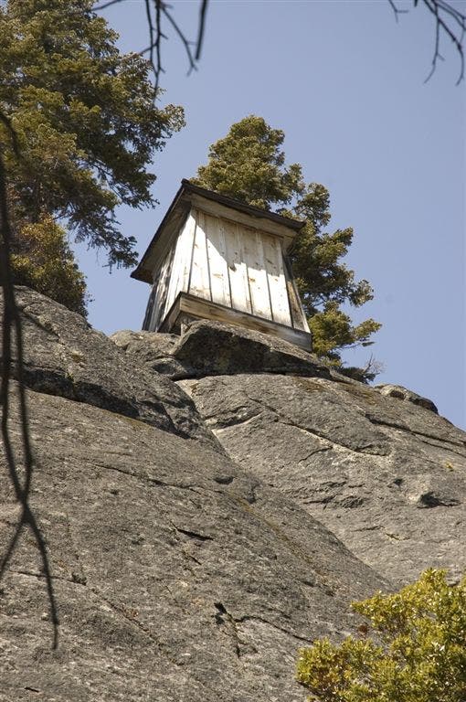
Head back to the parking lot on the Lighthouse Trail, passing a cliffside lighthouse (and one of the highest placed lighthouse’s in the world). At the trails end, turn left, and retrace the road back to the upper lot.
Season alert: This trailhead can be accessed in any season when other nearby trailheads are closed in winter.
Hiking during the summer season? Try out this longer route, which starts from Emerald Bay.
Mapped by Kari Bodnarchuk
Trail Facts
- Distance: 6.9
Waypoints
WPT001
Location: 38.9784660339356, -120.102996826172
From the upper parking lot hike northeast on a paved road towards the park’s campground.
WPT002
Location: 38.9871826171875, -120.099479675293
Continue straight through the park’s main entrance gate and pass the campground on your left en route to the Rubicon Trail junction.
WPT003
Location: 38.9884986877441, -120.097785949707
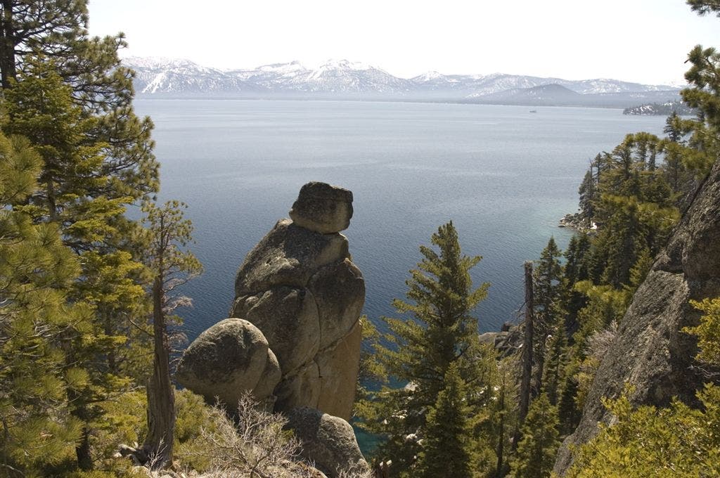
Turn left at 3-way junction onto the Rubicon Trail. The trail immediately opens up, providing spectacular views down into small coves nestled among the shoreline, where rock pinnacles beckon climbers to challenge their virgin routes. As you hike, the trail becomes sandy, and narrow with sharp drop-offs to the right.
WPT004
Location: 38.9972991943359, -120.095520019531
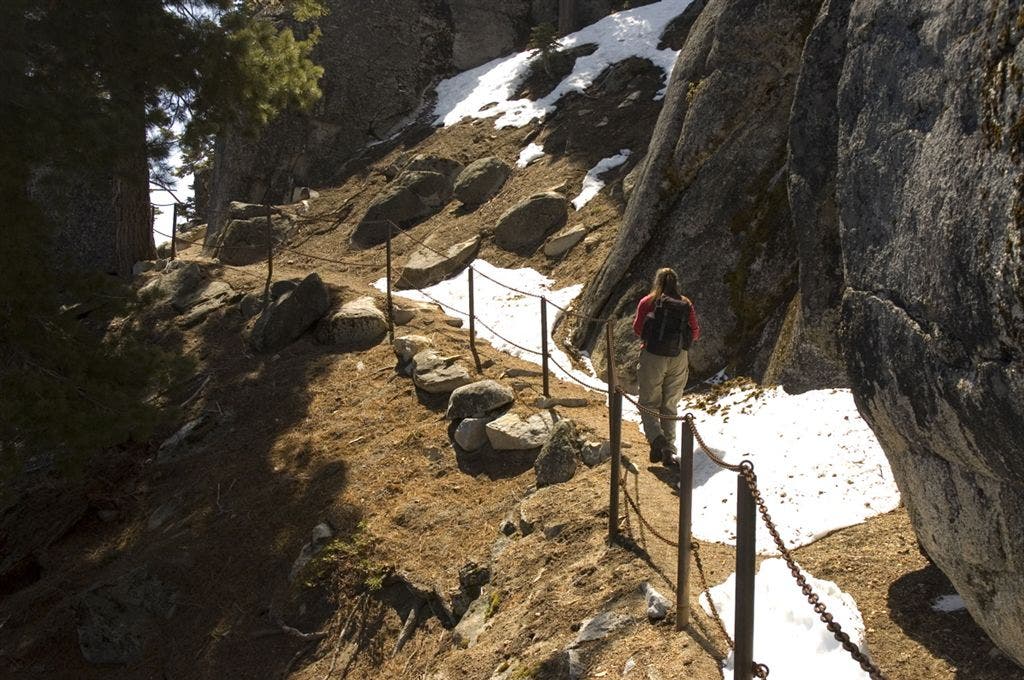
Just after views of the lighthouse emerge to your left, the trail narrows considerably, dropping off to the right. Continue traversing the rim, passing a small cave formed by precariously leaning boulders and then under an archway of boulders. The trail begins to descend to Rubicon Point and stunning views of south Lake Tahoe.
WPT005
Location: 38.9986991882324, -120.097282409668
Rubicon Point: One of the best views of south Lake Tahoe, take a moment and soak in sweeping views of the Sierra Nevada and crystal-clear, jade-colored water. Restrooms and water are available near the parking lot, and several large flat granite boulders provide a perfect place to sit.
To continue, bear left at 3-way junction onto Lighthouse trail, and begin a series of switchbacks through thick forested pine leaving the views behind.
Optional: Bring your swimsuit and head down the Calawee Trail to Calawee Cove, where a sandy, quiet beach is the perfect place for a refreshing dip in Lake Tahoe’s frigid waters.
WPT006
Location: 38.9961013793945, -120.095397949219
Rubicon Point Lighthouse: Turn left at 3-way junction and walk down 40 steps cut into the granite ledge leading to the wooden lighthouse, once the highest elevation lighthouse in the world. After checking out the digs, return to the trail and turn left. Turn right again at T-junction in 200 feet, and continue ascending several switchbacks. The path, a dirt-packed, pine needle covered walkway, cuts through open areas interspersed with lodgepole pines. The trail steadily ascends back up to DL Bliss State Park.
WPT007
Location: 38.9894332885742, -120.098785400391
Turn left at 3-way junction onto paved road leading back up to DL Bliss State Park. Continue following the road 0.9 miles to the upper off-season lot and your car.
South Lake Tahoe
Location: 38.9988250732422, -120.097618103027
Swimming
Location: 38.9989929199219, -120.096778869629
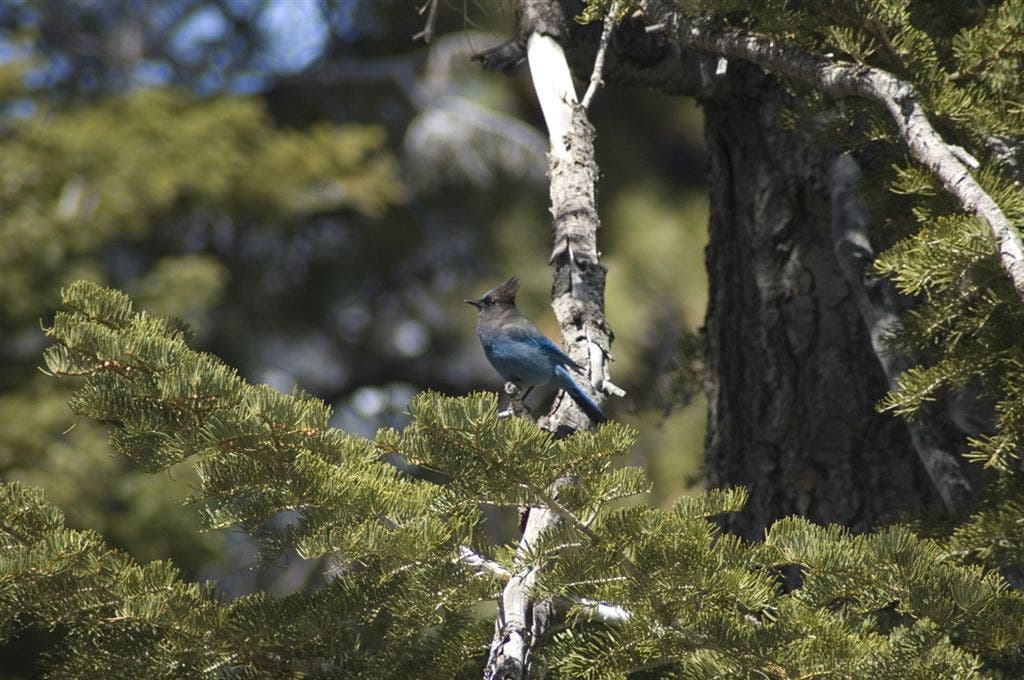
Blue Jay
Location: 38.9986038208008, -120.097030639648
Lighthouse
Location: 38.997257232666, -120.095291137695
Tahoe
Location: 38.9961090087891, -120.095603942871
South Lake Tahoe
Location: 38.998908996582, -120.097145080566
Lake Tahoe
Location: 38.988655090332, -120.097984313965
Snow in May? Sure why not
Location: 38.9963035583496, -120.095962524414
Lighthouse
Location: 38.9963607788086, -120.095657348633
Narrow Trail
Location: 38.9976768493652, -120.095375061035
Looking down below
Location: 38.9976234436035, -120.095710754395