Lake Mead Recreation Area, NV: Historic Railroad Trail

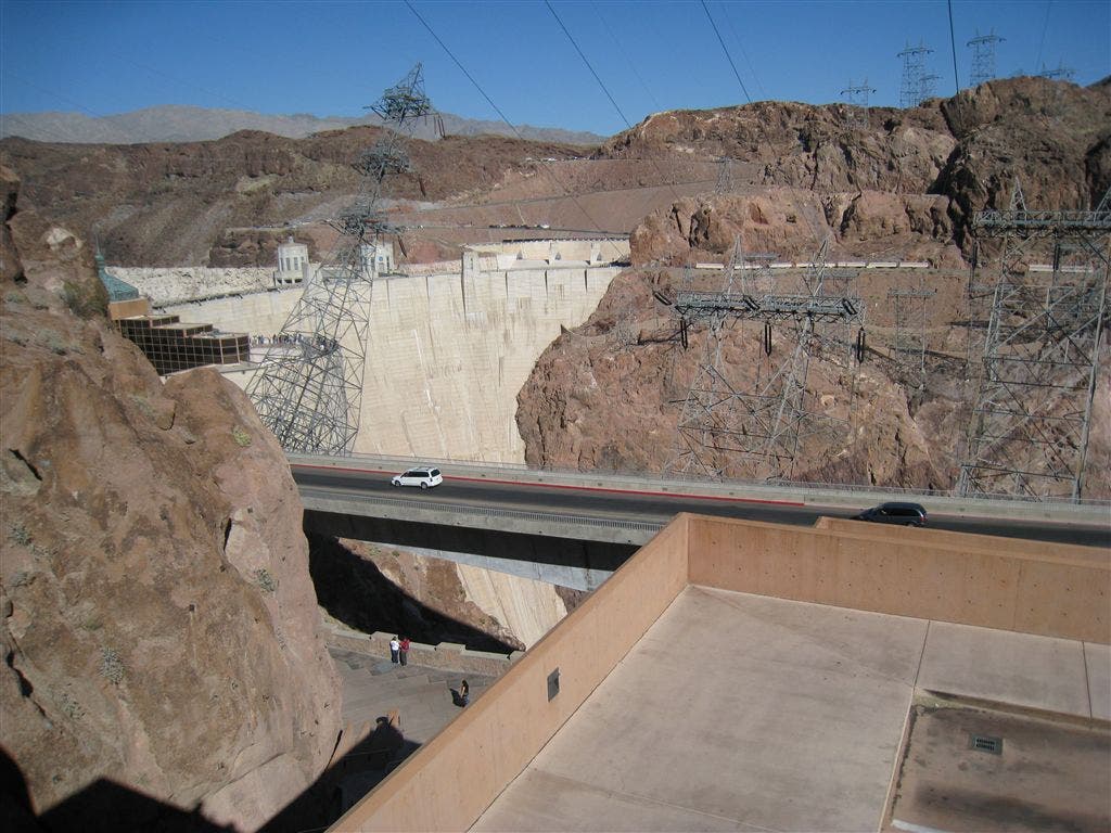
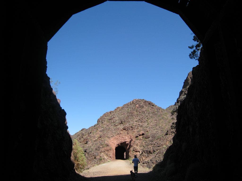
This 7.8-miler chugs along an old railway bed, through five dynamite-blown tunnels to the Hoover Dam, a 726-foot-tall concrete plug in the Colorado River. From the visitor center, hike east on the Historic Railway Trail. In 1 mile, the trail dips into the first of five railroad tunnels blasted through the Aztec Sandstone Mountains in the 1930s. This rail line transported much of the supplies to build the second largest dam in the United States.
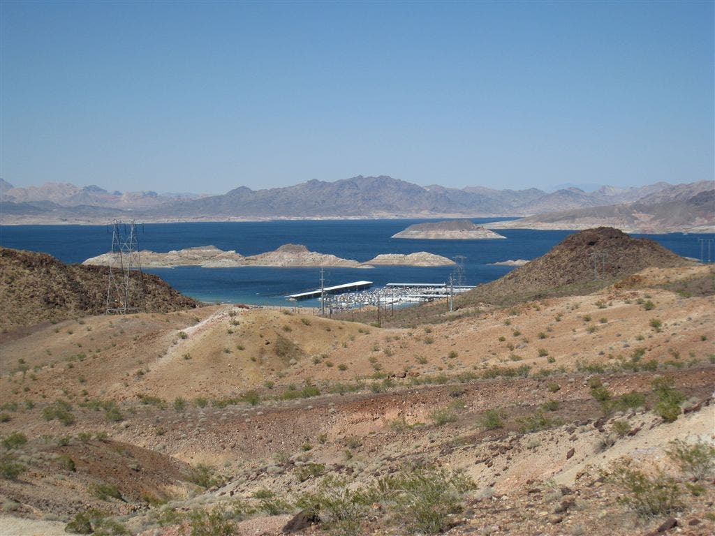
One of the best overlooks to Lake Mead is near tunnel 5. See the islands? Those are the tips of massive mesas. After the last tunnel, the trail descends 300 feet in 1.6 miles to the Hoover Dam. If time permits, check out the visitor center and tour the dam.

Trail Facts
- Distance: 6.3
Waypoints
Trail
Location: 36.0164680480957, -114.741790771484
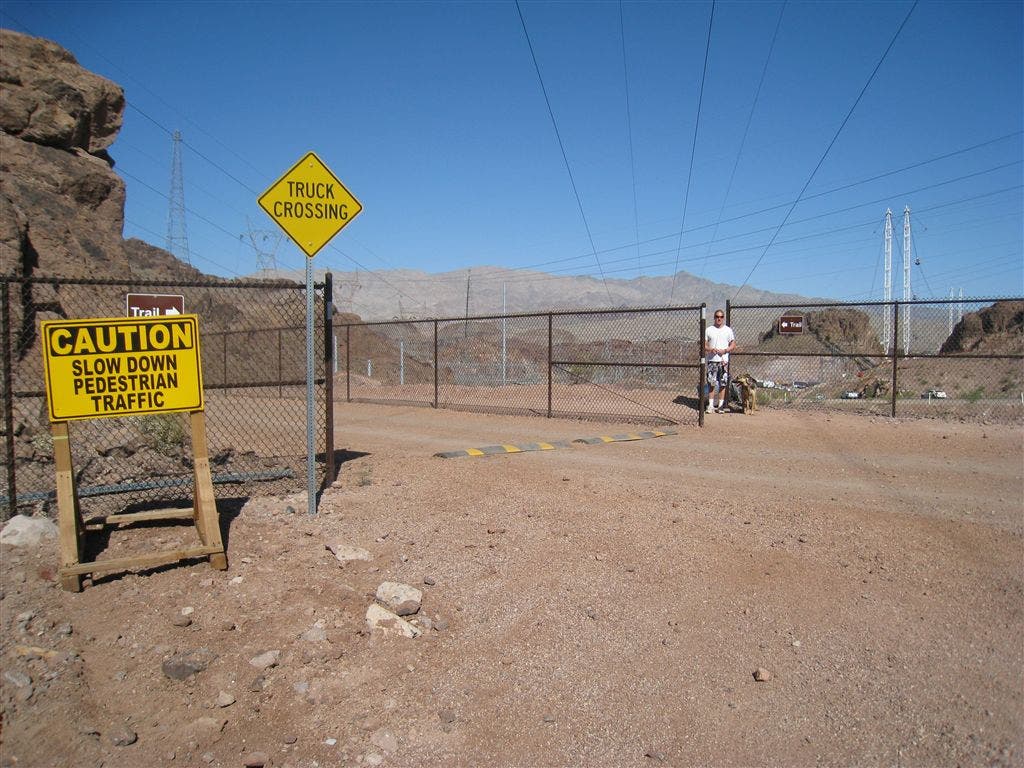
Road Crossing
Location: 36.0166320800781, -114.751625061035
Trail
Location: 36.0158386230469, -114.753204345703
Hanging out
Location: 36.0134086608887, -114.78450012207
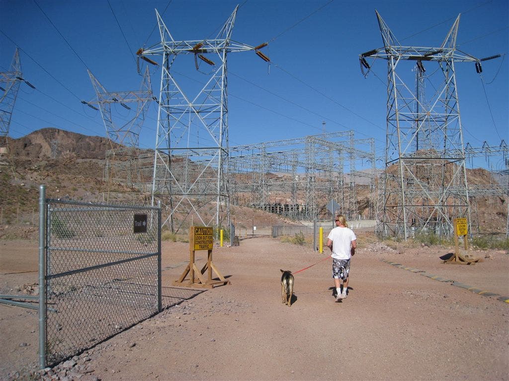
Powerstation
Location: 36.0174713134766, -114.745819091797
Lake Mead
Location: 36.0131874084473, -114.787673950195
Gate
Location: 36.0168838500977, -114.762756347656
Make sure you return before nightfall
Hoover Dam
Location: 36.0161476135254, -114.741317749023
Tunnel #1
Location: 36.0179557800293, -114.776809692383
Inside the Tunnel
Location: 36.016918182373, -114.773384094238
Access Gate
Location: 36.011058807373, -114.790878295898
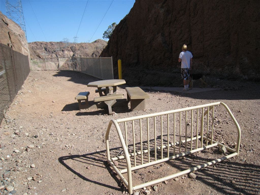
Picnic Tables
Location: 36.0175590515137, -114.743392944336
Seasonal Flowers
Location: 36.0161285400391, -114.754081726074
Overlook
Location: 36.0166969299316, -114.764457702637
WPT001
Location: 36.0114479064941, -114.794044494629
From the visitor center, hike east along the Historic Railroad Trail.
Note: No water on trail. Pack extra as temperatures can soar above 100 degrees F.
WPT002
Location: 36.0111389160156, -114.790870666504
Continue straight through access gate and head northeast towards Lake Mead.
WPT003
Location: 36.0132369995117, -114.787712097168
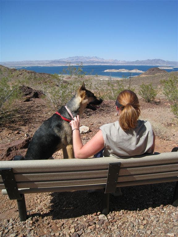
Overlook: Crest the top of a small hill and enjoy sweeping views of Lake Mead, mesas, and the marina. The white bathtub ring on the sandstone shows how high the water level used to be.
WPT004
Location: 36.013355255127, -114.784561157227
More views of Lake Mead from several benches along the trail
WPT005
Location: 36.0179672241211, -114.776901245117
Tunnel 1: Pass through the first of five tunnels over the next 1.2 miles. These tunnels were blasted through the Aztec Sandstone Mountains. Unable to climb the steep gradient, heavy-loaded trains zigzagged across the desert to and from Boulder City.
WPT006
Location: 36.0169486999512, -114.762672424316
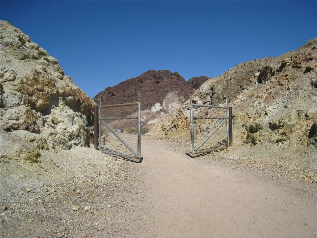
Tunnel 5: The final one. Choices: Continue east to the Hoover Dam, or turn around to return to your car. Plan accordingly. The gates ahead are locked after dark.
WPT007
Location: 36.0158538818359, -114.753074645996
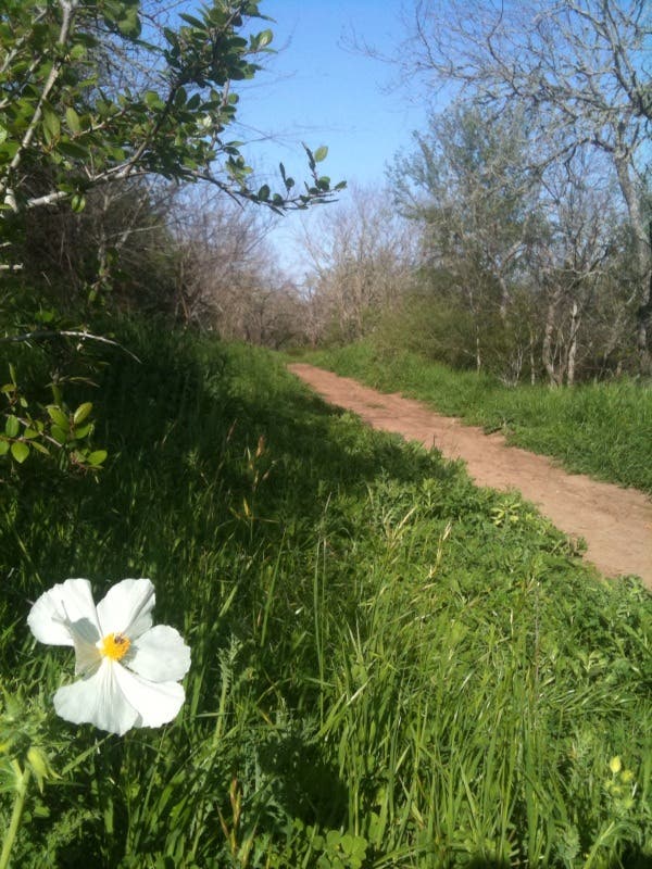
Path winds down to the Hoover Dam. Jackrabbits, bighorn sheep, and seasonal flowers dot the desertscape.
WPT008
Location: 36.0167045593262, -114.751495361328
Turn left at 3-way junction and continue on the Historic Railroad Trail.
WPT009
Location: 36.018928527832, -114.749824523926
Turn right at 3-way junction
WPT010
Location: 36.0175399780273, -114.745147705078
Cross under crackling powerlines and go straight at 4-way junction with a service road.
WPT011
Location: 36.0172843933106, -114.742782592773
Final descent to Hoover Dam
WPT012
Location: 36.0162353515625, -114.741508483887
Trail ends at dam parking area. Return to your car, or walk the Hoover Dam and stop into the visitor center.