Published October 20, 2021 12:32PM
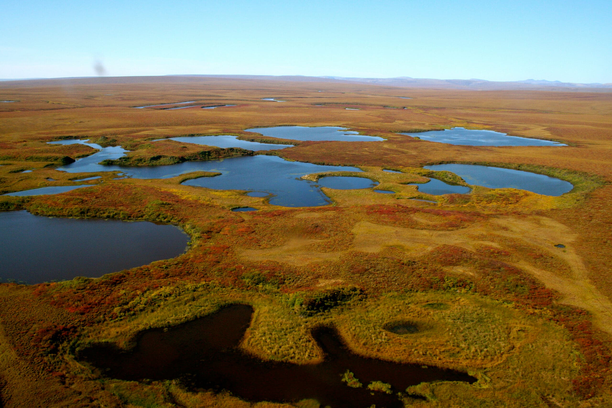
Kuzitrin Lake is an Alaskan Autumn Paradise
Bering Land Bridge National Preserve is a pathless autumn paradise.
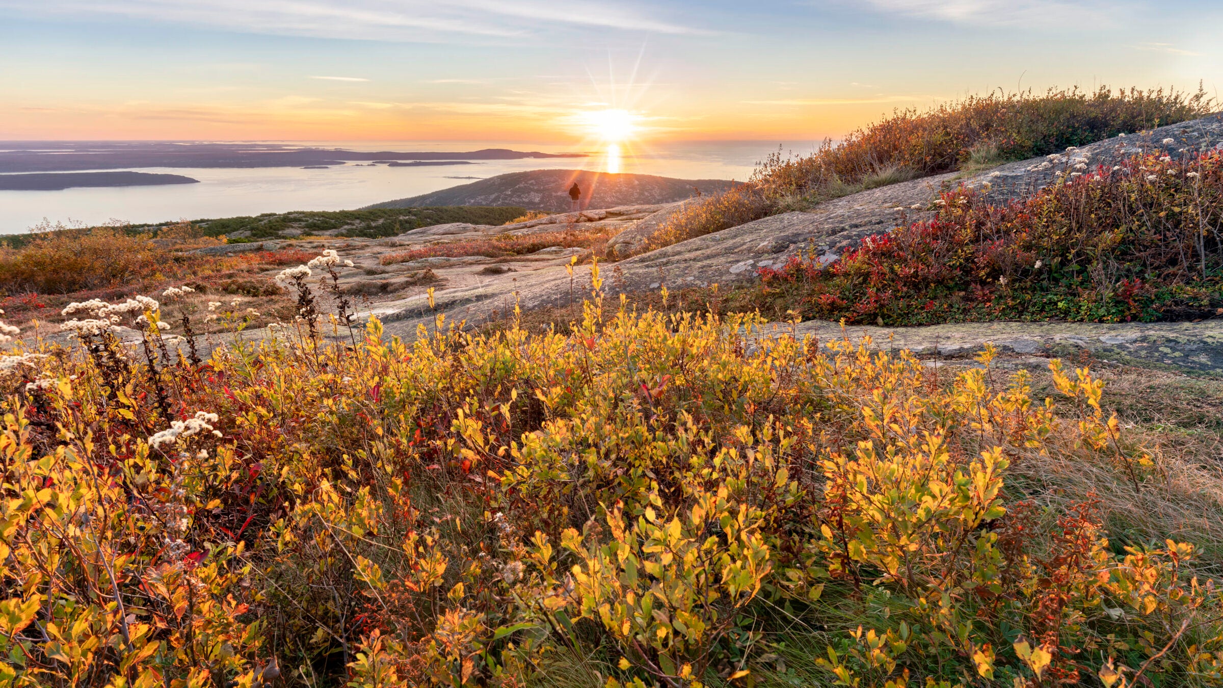
Sunrise from the top of Cadillac Mountain (Photo: Anand Goteti/Cavan via GettyImages)
Outside+ members can read our full list of the 10 best unlikely leaf hikes. Not a member yet? Here’s a taste.
No crowds here: The only way to get to this colorful autumn stretch of tundra is backpacking. The hummocky tundra covering one of the country’s most remote national parks is usually a smattering of greens, from pale lime to deep veridian, but for a few short weeks every fall it turns to bright crimson and gold. Catch the show on the 55-mile hike up the Kuzitrin River to Kuzitrin Lake (or, if time is short and funds are deep, take a bush plane to one of the larger lakes nearby and hike in from there). Caribou, musk oxen, and Arctic fox are your most likely neighbors on this trip; the foxes will be shedding their brown summer fur for white winter camouflage, making them easy to spot against the bright fall colors of the tundra plants. Closer to the coast, walruses, ribbon seals, and polar bears stalk through the preserve. There are brown bears here too, feasting on the shrubby plant life and the herbivores that thrive on it, so make sure your food is kept somewhere secure. Listening for birdsong from your tent? The low, eerie wail of the yellow-billed loon is likely to drift from Kuzitrin Lake, as this iconic Arctic bird prefers inland waters for fishing. On the nearby shore you might hear the rustle and guttural trill of willow ptarmigan picking through the foliage for seeds.
Volcanoes!
The flat landscape of Bering Land Bridge National Park is broken up by two distinct sets of volcanic formations—the Imuruk Lava Field and the Devil Mountain Lava Field. The Imuruk Lava Field, in the southeast section of the park, is made up of about 75 volcanic vents and 900 square miles of lava flows, in overlapping layers from older to newer eruptions. The oldest layer, called the Kugruk Volcanics, formed between 28 and 26 million years ago, while the newest layer—the Lost Jim Lava Flow—formed only 1,000 to 2,000 years ago. The Lost Jim Lava is mostly pahoehoe lava, which is basaltic lava that twists in ropelike strands now preserved as rock. The Devil Mountain Lava Field, on the Seward Coastal Plain in the central northern part of the preserve, covers about 400 square miles. One of the most notable features of this field are five small shield volcanoes (named for their shape, these volcanoes have low-angled sides and form from basaltic lava, the least explosive type). Another is four maars, lakes that formed from explosions made by interacting ice and magma. The oldest of these maars, Whitefish Lake, is between 100,000 and 200,000 years old, and 2.5 miles wide; its depths has never actually been measured.
The Trail
There aren’t any marked trails in Bering Land Bridge National Park, so good maps, a compass, and orienteering skills are a must; a GPS unit comes in handy, too. From the end of the dirt road at Kougarok, follow the Kuzitrin River all the way to Kuzitrin Lake, a distance of about 55 miles over hummocky tundra.