Knoxville, TN: House Mountain Loop

A favorite of hikers of all ages and abilities, House Mountain features the best attributes of hiking in East Tennessee—high ridgelines, interesting geologic formations, and cliff-top vistas. Even better: It’s just ten miles from downtown Knoxville. Officially named House Mountain State Natural Area, this trail system is maintained by a local outfitter and is co-owned by the State of Tennessee and private landowners who have generously allowed public access.
From the trailhead, follow the Connector Trail past two short loop trails (perfect for small children) and continue across a clear-cut area beneath a set of power lines. Re-entering the forest, look for the intersection of the Connector with West Overlook Trail and Mountain Trail, and turn left onto West Overlook Trail.
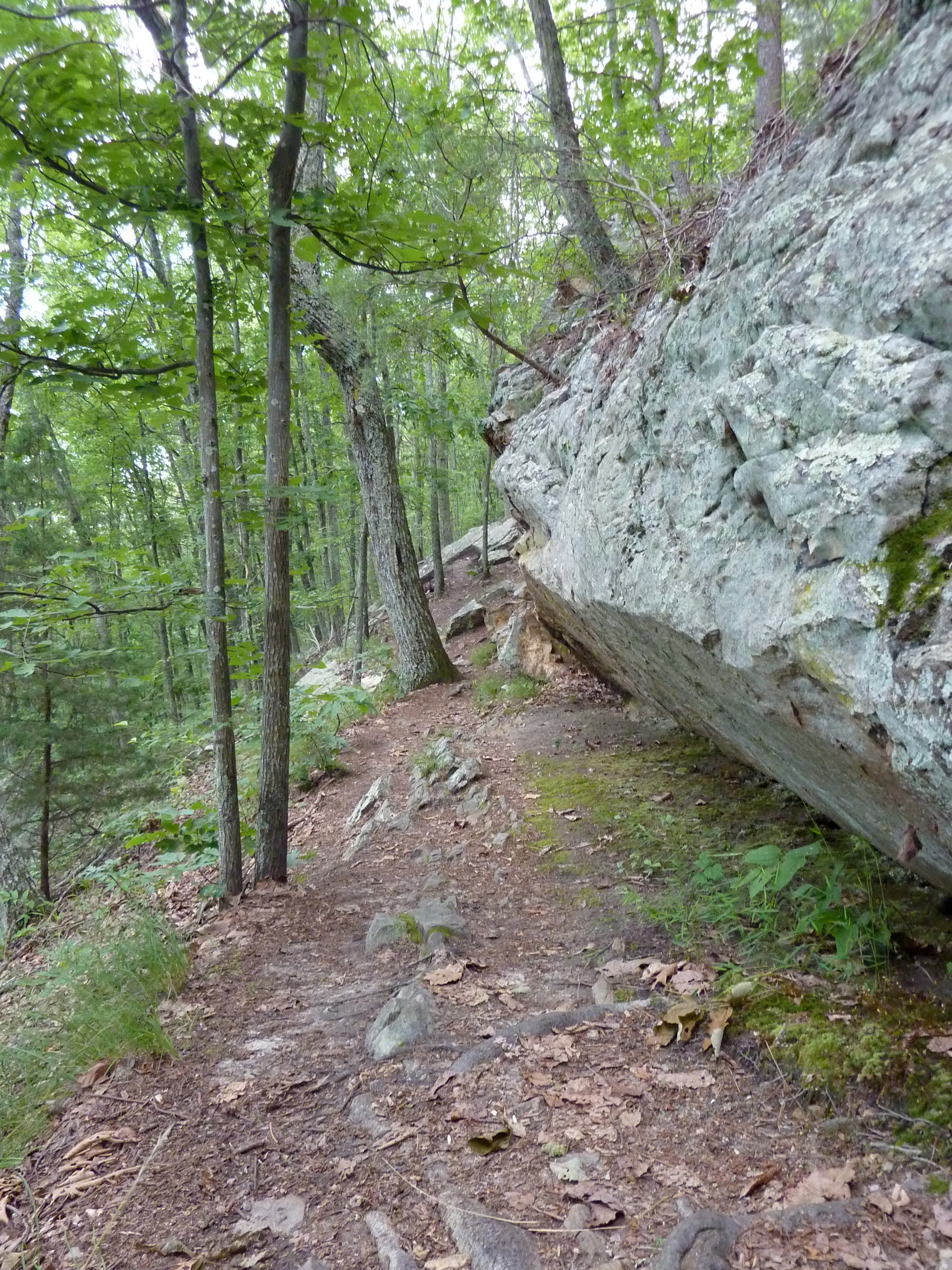
Meander through the second-growth forest, tackling two sets of fairly steep switchbacks as you gain approximately 1,000 feet in the course of 0.8 mile. The path runs along several rock walls as you pick your way around boulders along the sometimes-faint path.
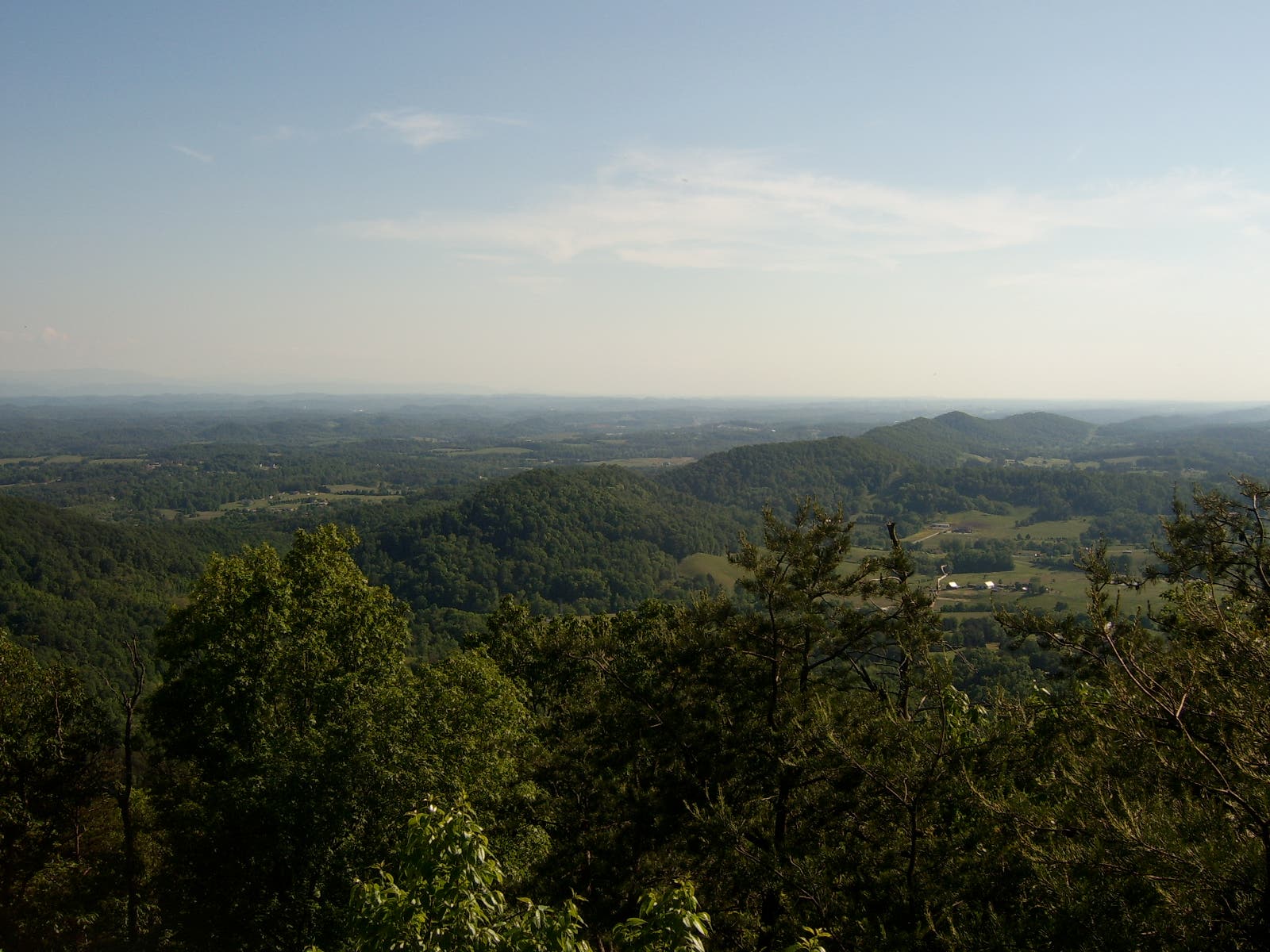
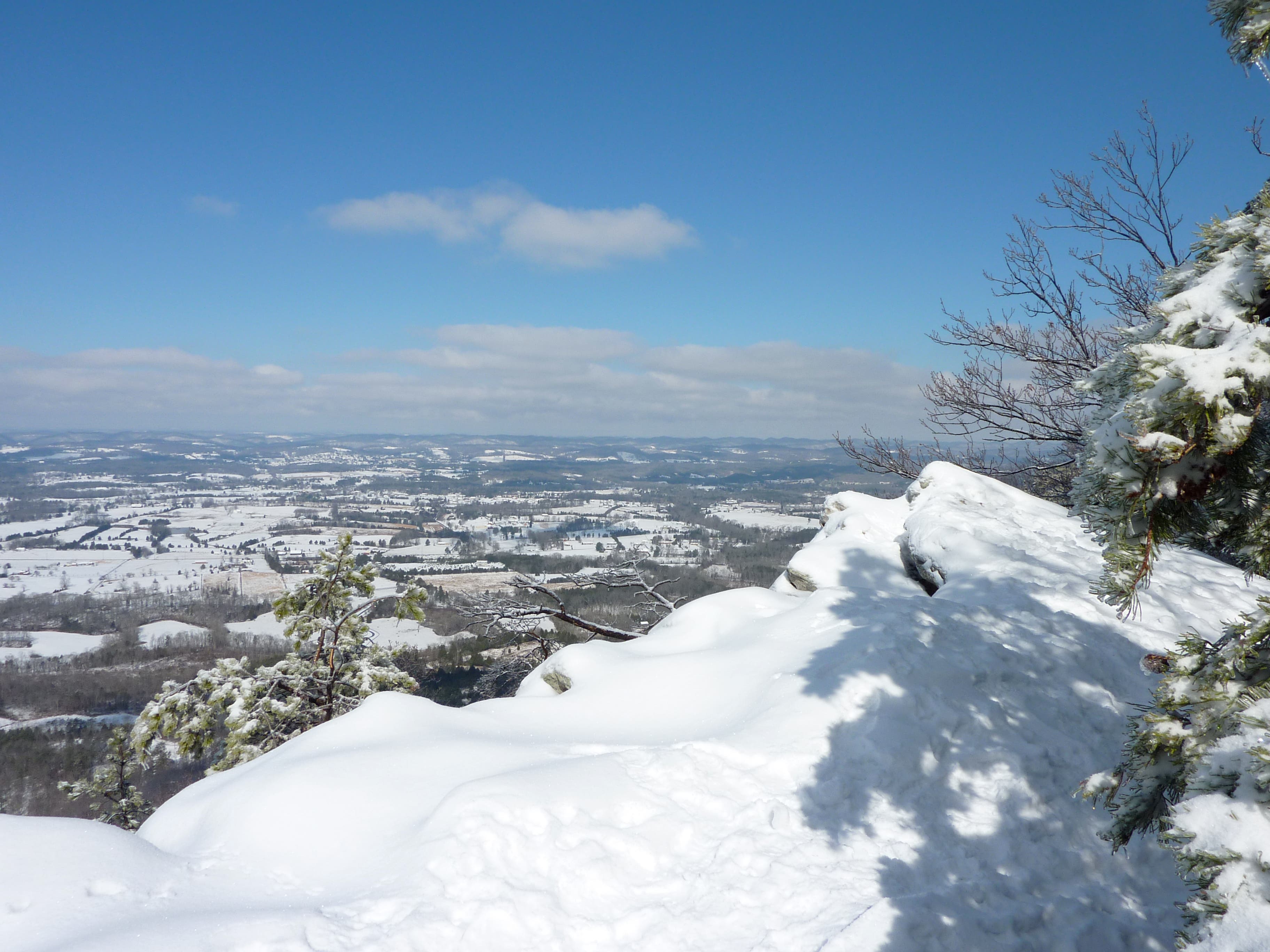
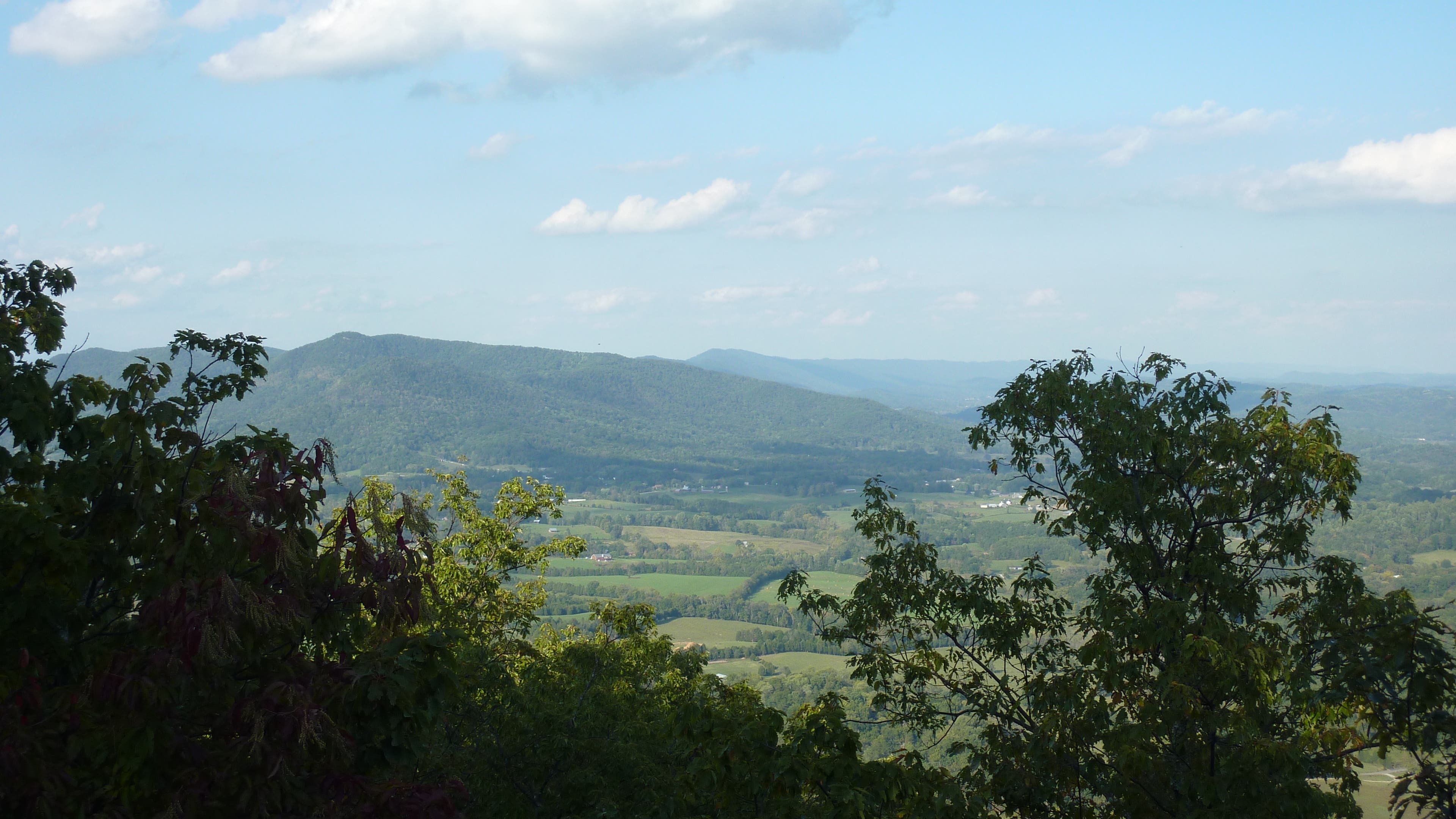
Arriving at the west overlook, climb atop the large boulder and take in the dramatic views to the southeast along Sharp’s Ridge. On clear, sunny days, look for the sun glinting off the Knoxville Sunsphere and other downtown buildings and take in views of the Smoky Mountains to the east. Continue northeast along the spine of House Mountain on the Crest Trail, stopping along the way at several overlooks with vistas of rural Tennessee.
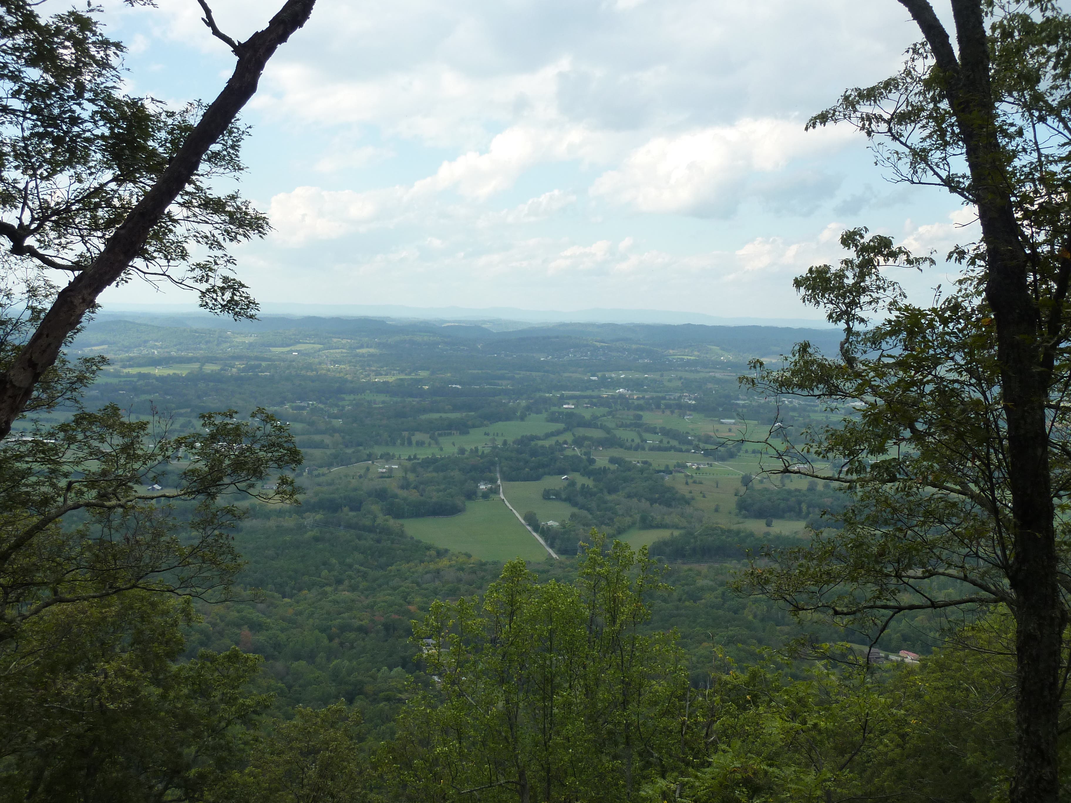
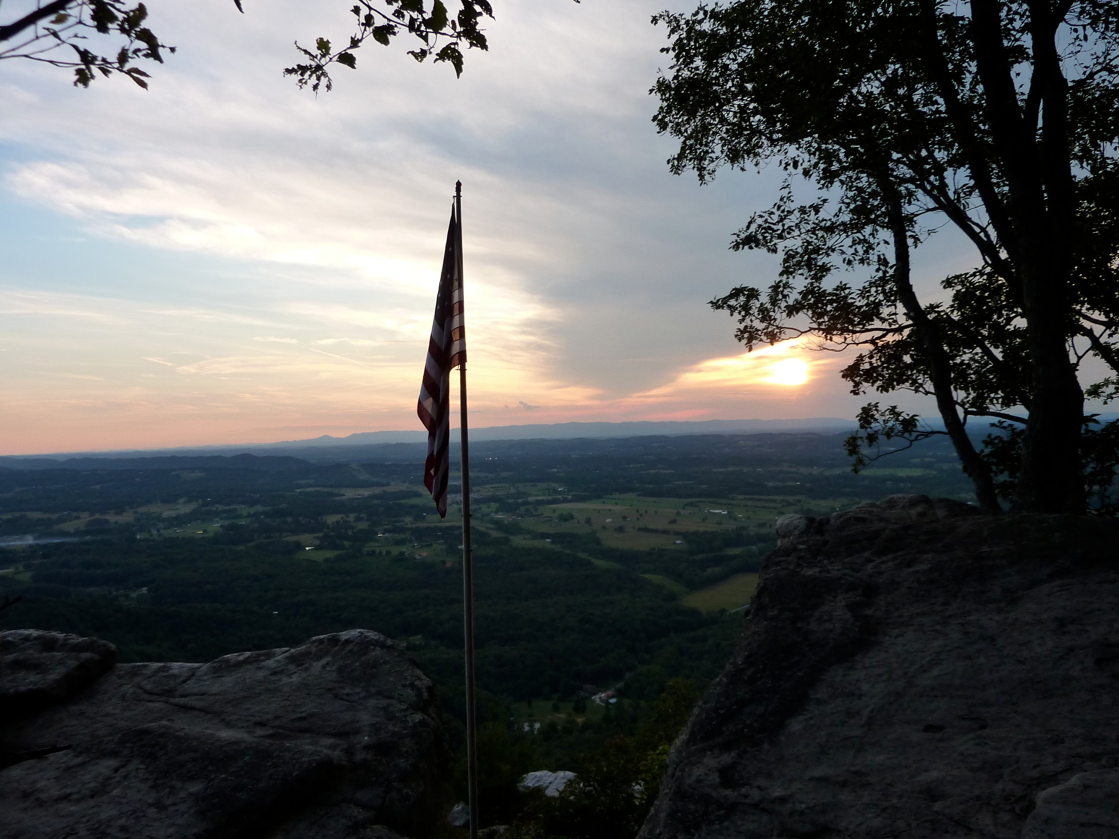
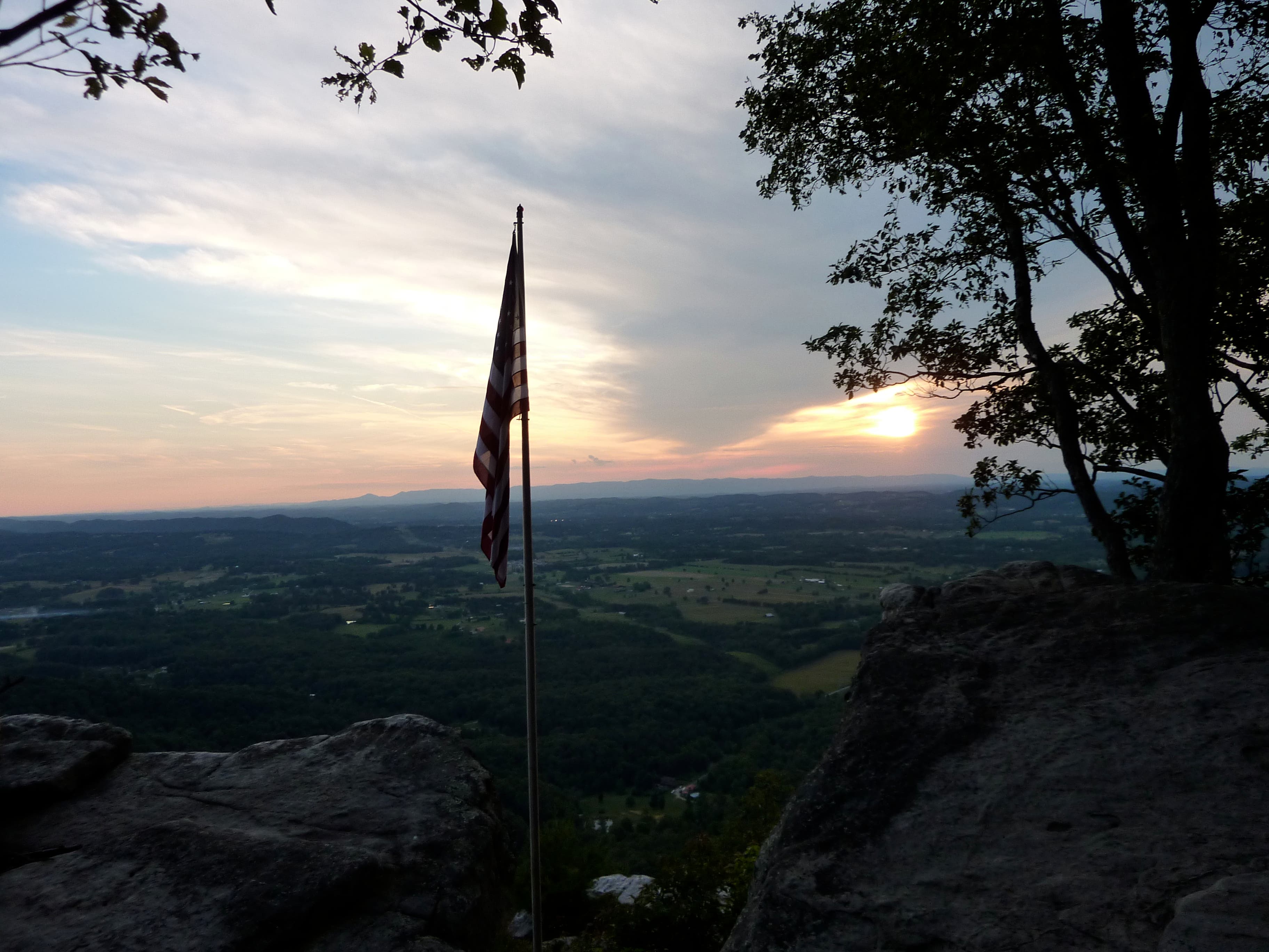
At mile 1.6, continue past the junction with Mountain Trail and go another quarter mile to the obvious 4WD trail on the left. Hike another 200 yards to a dramatic cliff with gaping views that stretch 30 miles across the Cumberland Valley to the Cumberland Range. Next, walk 100 yards farther along the 4WD trail to “USA Cliffs,” where locals have planted a large US flag on a tall flagpole at the edge of the cliff.
At mile 2.3, stop at the east overlook for picturesque views of the small but noticeable Clinch Range to the north and the northern end of the Smoky Mountains to the east. Backtrack to the junction with Mountain Trail and turn left for the mile-long descent back to the trailhead.
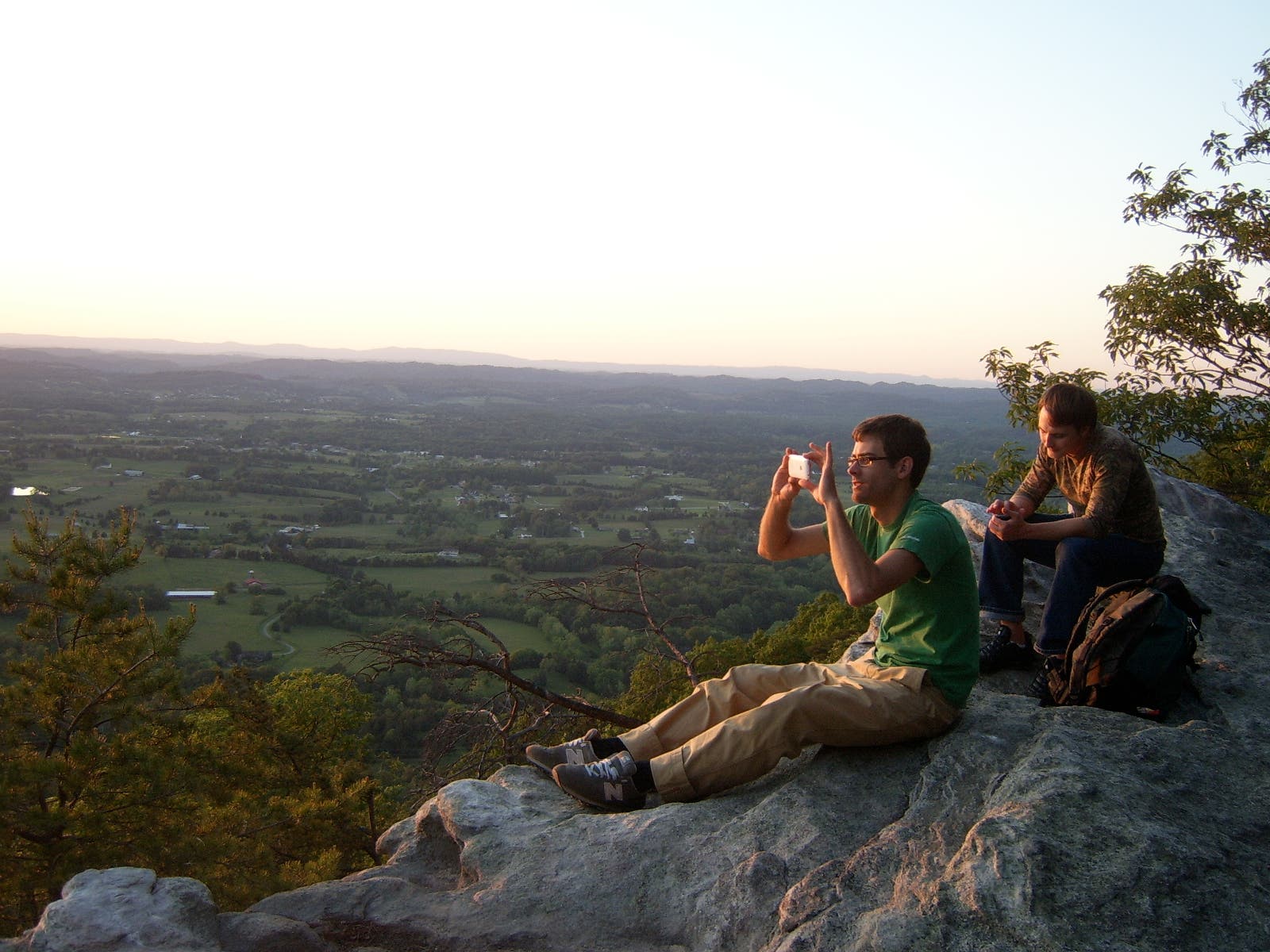
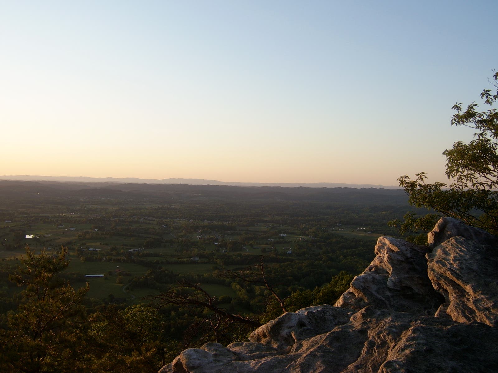
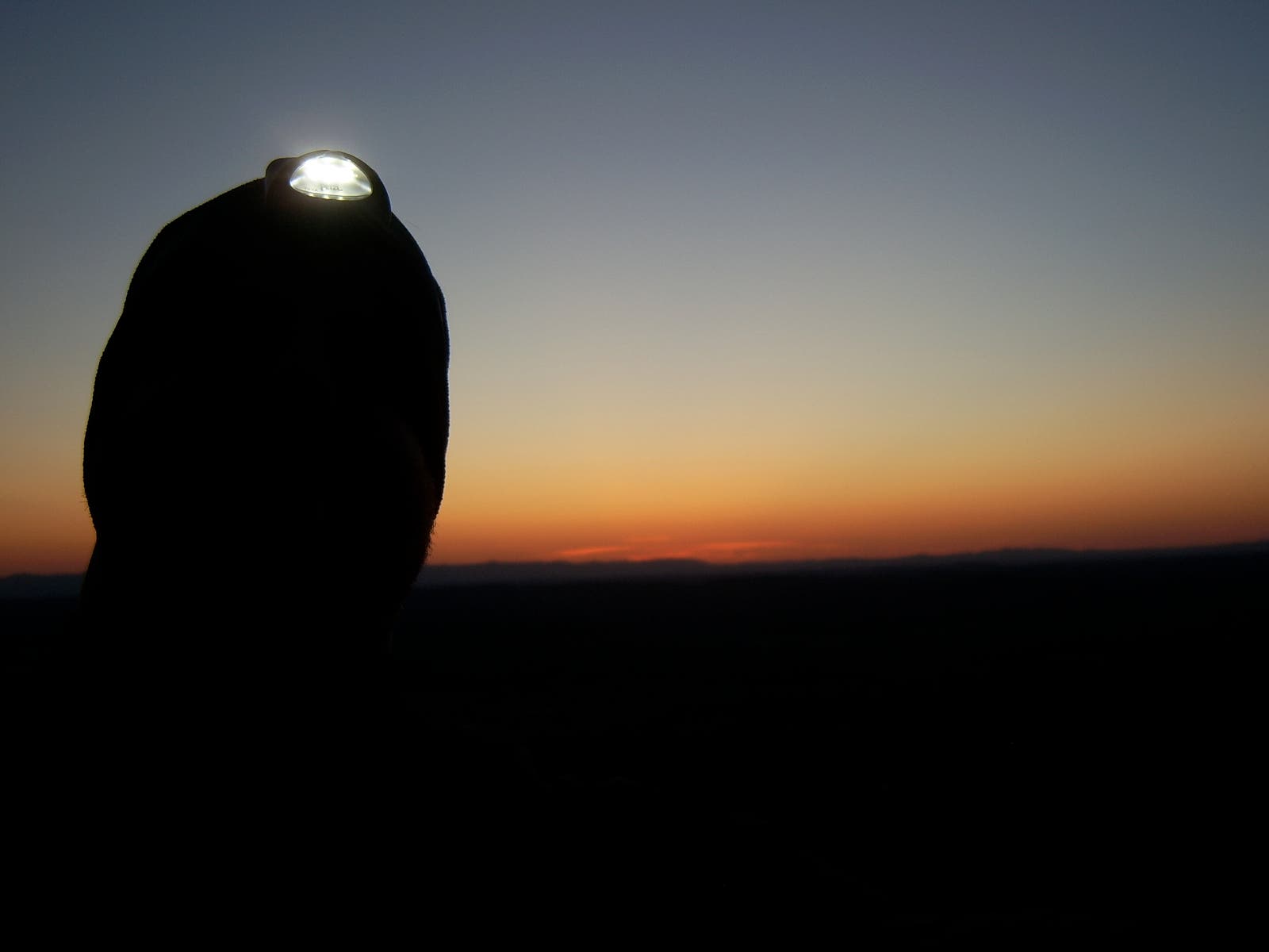
Local Knowledge: The cliffs along the 4WD trail are oh-so-perfect for taking in the colorful skies as the sun sets beyond the Cumberland Range. Stay quiet and try to spot House Mountain’s resident bobcat who has been spotted near the cliffs around dusk. Pack a headlamp for the dark descent.
-Mapped by Jason Stanley


Trail Facts
- Distance: 6.6
Waypoints
HSE001
Location: 36.104776, -83.762947
Hike northwest from the trailhead toward House Mountain.
HSE002
Location: 36.105497, -83.764457
Bear left at the Y-junction on West Overlook Trail; hike northwest.
HSE003
Location: 36.107643, -83.770088
Rocky outcrops border the trail.
HSE004
Location: 36.106989, -83.772646
Stop at the west overlook on House Mountain’s ridgetop for far-reaching views to the southwest. Look for Knoxville’s skyline in the distance. Next, follow the ridgetop to the northeast.
HSE005
Location: 36.110797, -83.76815
Crest Trail Overlook showcases views across Tennessee River farmlands.
HSE006
Location: 36.112122, -83.765678
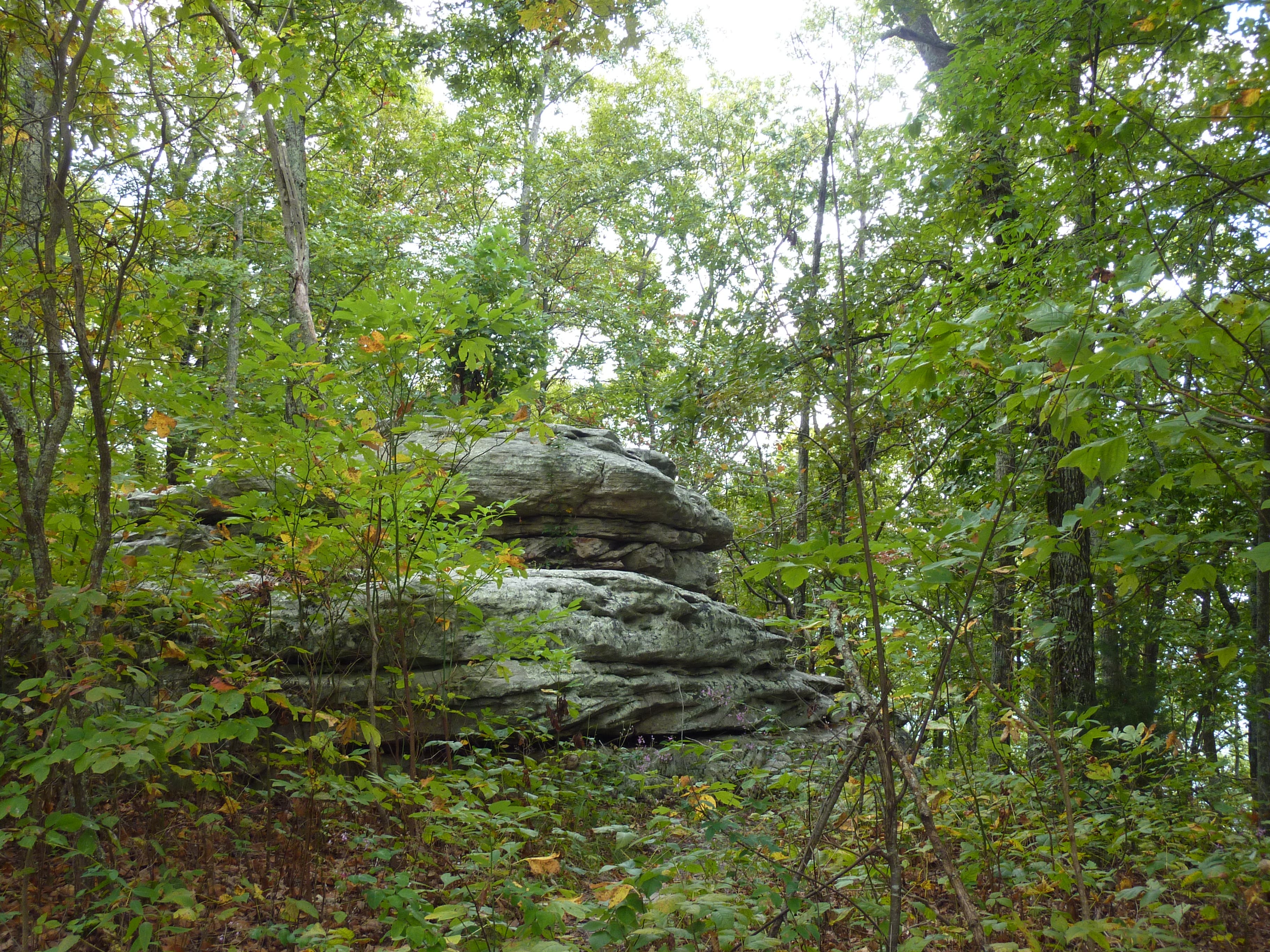
Look in the trees for a boulder that resembles a flying saucer.
HSE007
Location: 36.114182, -83.762932
Continue straight along the ridgetop at the Crest Trail – Mountain Trail intersection.
HSE008
Location: 36.117469, -83.760493
Take the 4WD trail on the left to quickly reach two sets of cliffs.
HSE009
Location: 36.118503, -83.760184
This dramatic cliff-top vista overlooks the Tennessee and Cumberland Valleys with the Cumberland Range in the distance (perfect place to watch the sunset).
HSE010
Location: 36.119257, -83.759611
A flag marks the U.S.A Cliff.
HSE011
Location: 36.121971, -83.756302
Take in more views at the east overlook, then backtrack to HSE007 and turn left.
HSE012
Location: 36.105523, -83.764468
Turn left and retrace your steps to the trailhead.
Sunset Views
Location: 36.11875, -83.76057
Trailhead
Location: 36.10478, -83.762898
Rock Wall on West Overlook Trail
Location: 36.107668, -83.769979
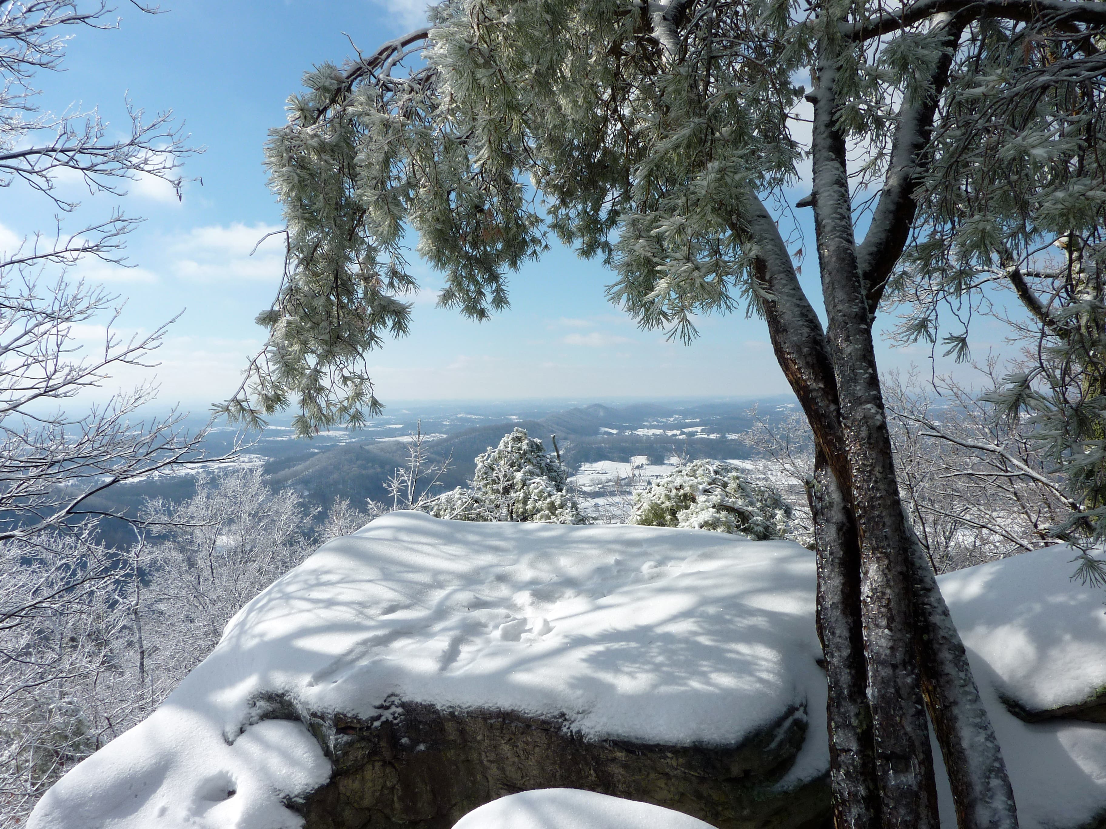
Winter Views
Location: 36.106997, -83.772565
Views of Knoxville
Location: 36.106953, -83.772533
West Overlook
Location: 36.106906, -83.77257
Crest Trail Overlook
Location: 36.110819, -83.768059
Flying Saucer Rock
Location: 36.112145, -83.765575
This boulder looks like a flying saucer that crash landed and camouflaged itself as a rock.
Cliff Tops at Sunset
Location: 36.118724, -83.76013
Winter Cliffs
Location: 36.11816, -83.760602
Cliffs at Sunset
Location: 36.118438, -83.759873
Sunset over the Cumberlands
Location: 36.11849, -83.760688
USA Cliffs
Location: 36.119304, -83.760055
USA Cliffs
Location: 36.119322, -83.759229
USA Cliffs
Location: 36.119434, -83.759637
East Overlook
Location: 36.121982, -83.756161