Knoxville: Honey Creek Loop


Trail Facts
- Distance: 7.4
Waypoints
Vertical Cliff Walls
Location: 36.4295043945312, -84.6453399658203
Sandstone outcroppings, streaked by dribbling waterfalls, grow in their magnificence as the valley descends.
©Bill Jackson
Honey Creek Overlook
Location: 36.431510925293, -84.6473083496094
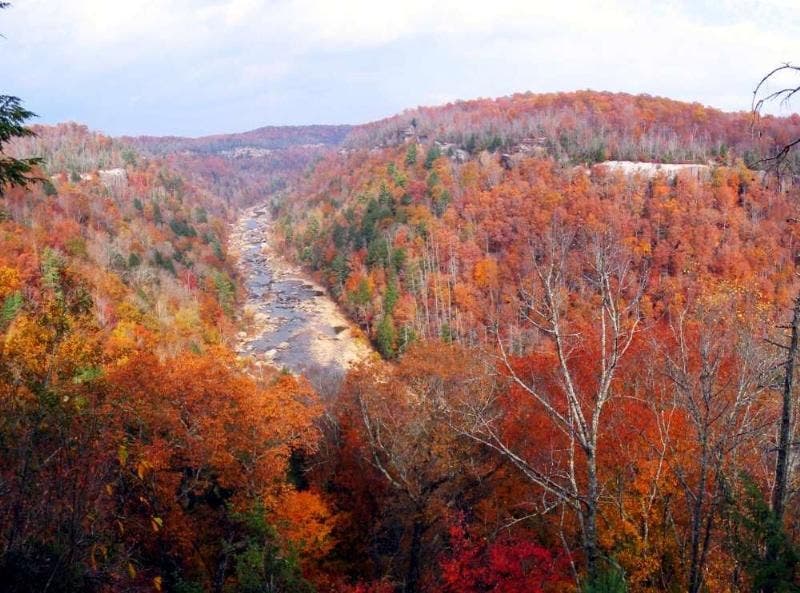
Autumn colors light the forest on fire with brilliant scarlet and orange hues along the banks of the Big South Fork River.
©Bill Jackson
Rockhouse Attic
Location: 36.4328155517578, -84.6566925048828
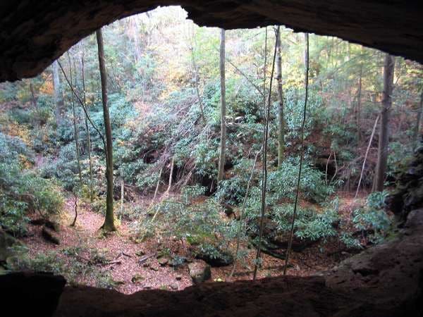
Peek through the gaping mouth of Indian Rockhouse for bird’s eye views of the forest floor.
©Bill Jackson
Rock Squeeze
Location: 36.431827545166, -84.6533508300781
Mint green lichen speckles the walls and roots snake over the entrance to a tight sandstone crag.
©Bill Jackson
Clearwater Pools
Location: 36.4321479797363, -84.6496658325195
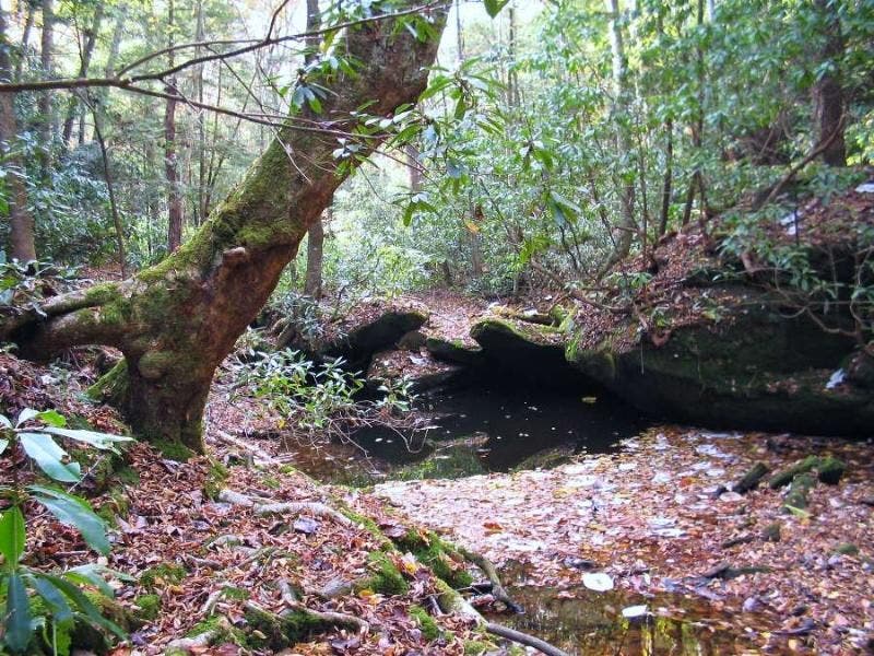
Glistening clearwater pools lay nestled in sandstone nooks.
©Bill Jackson
Ladders
Location: 36.4312782287598, -84.6473388671875
Climb three sets of ladders to overlook Big South Fork River.
©Bill Jackson
Indian Rockhouse
Location: 36.4331359863281, -84.6571578979492
The lofty location of the Indian rockhouses are easily reachable by a quick ladder climb.
©Bill Jackson
HCL001
Location: 36.421459197998, -84.6513977050781
Head E from parking area; sign register and enter mixed-oak forest of Big South Fork Natl. River and Rec. Area
HCL002
Location: 36.4212608337402, -84.64990234375
Stay L @ Y on Burnt Mill Bridge Loop; trail gradually meanders toward creek, then descends
HCL003
Location: 36.4306678771973, -84.6468505859375
L @ T to access Honey Creek Overlook; sandstone outcrops shade trail
HCL004
Location: 36.4313812255859, -84.6471328735352
Climb above canopies of huge hemlocks on 3 ladders bolted to rock face; views unfold
HCL005
Location: 36.4312896728516, -84.6473388671875
Honey Creek Overlook: View main gorge of Big S Fork River; look for kayaks on Rion’s Eddy, a Class III-IV rapid ranked one of the East’s wildest; return to WPT 3, turn L onto main trail, descend to river
HCL006
Location: 36.431999206543, -84.6516418457031
Reach first of two sections where fallen rocks squeeze out trail; follow red-arrowhead blazes, slink through crags
HCL007
Location: 36.432788848877, -84.656608581543
Indian Rock House in erosion-carved alcove: climb ladder to see
HCL008
Location: 36.4290008544922, -84.6546173095703
Turn L @ junction with Tree Top Rock Trail
HCL009
Location: 36.4277687072754, -84.6539916992188
Bear R uphill to continue; spur trail on L leads to base of Ice Castle Falls, where in wet season water cascades off 40-ft. tabletop ledge
HCL010
Location: 36.4267311096191, -84.6556625366211
R @ Y with Honey Creek Falls Trail to complete loop. Don’t Miss: .1-mile spur trail on L leads to gentle 20-ft. waterslide