Ketchum, ID: West Pass

You’ll gain more than 3,000 feet of elevation in 4.5 miles on this popular trek to West Pass. Located north of Ketchum in the Boulder Mountains, the challenging dayhike showcases some of Idaho’s best alpine scenery and travels through mountain goat and elk habitat. From the trailhead, the route climbs gradually through dense stringer timber and streamside meadows along the North Fork of the Big Wood River. (You’ll also pass views of the ragged crest of the Boulder Mountains and marshy areas inhabited by croaking frogs and darting brook trout.)
Near mile 2, the trail turns sharply to the northeast and begins a sustained climb to West Pass through a thick forest of Douglas fir and aspen. The winding path skirts waterfalls, avalanche chutes and scree slopes before finally topping out at 10,030 feet on the windswept pass. Stop for lunch and soak up the 360-degree views of the Boulder Mountains. Look northeast to find the rocky, 11,714-foot summit of Ryan Peak, the tallest mountain in the Boulders, and a worthwhile scramble for hikers with a little extra energy to burn.
INFO: Sawtooth National Recreation Area, (208) 727-5000; fs.fed.us/r4/sawtooth/
-Mapped by Jason Kauffman




Trail Facts
- Distance: 14.5
Waypoints
WST001
Location: 43.853229, -114.436415
From the trailhead, hike uphill on the well-used trail that quickly enters a conifer forest.
WST002
Location: 43.856193, -114.436115
After cresting the first short rise, descend a steep slope through open forest. Ahead, the trail parallels the North Fork of the Big Wood River.
WST003
Location: 43.858158, -114.435782
Keep right at the 3-way junction. The equestrian path on the left crosses to the other side of the river.
WST004
Location: 43.865027, -114.435718
The North Fork of the Big Wood River narrows as you near its headwaters. Watch for the dark silhouettes of brook trout darting between the stream’s overhanging grass and brush.
WST005
Location: 43.874927, -114.440589
Bear right at the faint Y-junction in the middle of the grassy meadow.
WST006
Location: 43.877065, -114.437137
After climbing past a series of short switchbacks through thick timber, enter the first of several open slopes with views to the distant treeline.
WST007
Location: 43.87913, -114.434768
Watch and listen for the series of waterfalls across the chasm to the southeast.
WST008
Location: 43.879846, -114.433401
Enter a sub-alpine forest of large conifers that cover the steep mountain slopes above.
WST009
Location: 43.886264, -114.414861
Trail leaves the final patch of steadily diminishing sub-alpine fir trees. Watch for wildlife in the few wind-blown whitebark pine trees that dot the alpine slopes above.
WST010
Location: 43.893084, -114.417275
After cresting a few false summits, the trail finally tops out on West Pass. On a clear day, much of the roadless Boulder Mountains can be seen from this high-elevation vista. Make sure to take time to soak up the remote surroundings, then backtrack to the trailhead.
Lupine near West Pass
Location: 43.892125, -114.416771
Mid-summer lupine blooms near the summit of West Pass.
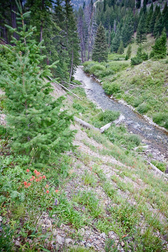
North Fork of the Big Wood River
Location: 43.864052, -114.435525
The North Fork of the Big Wood River flows beneath lush green hillsides in central Idaho’s Boulder Mountains.
Waterfalls
Location: 43.879103, -114.434516
A cascade of waterfalls echoes off the surrounding hills.
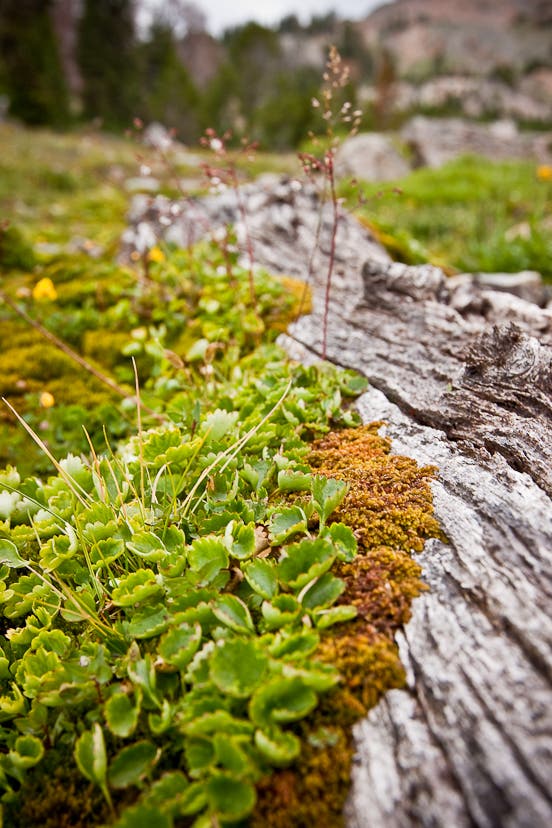
Near Timberline
Location: 43.889839, -114.415848
Closeup of alpine ground cover near timberline.
Alpine Basin
Location: 43.891509, -114.416749
Large, unnamed alpine basin near the top of West Pass.
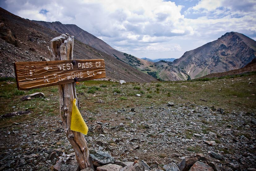
West Pass
Location: 43.892975, -114.417104
A Tibetan prayer flag waves in the wind at the summit of West Pass in Idaho’s amazing Boulder Mountains.
Views from West Pass
Location: 43.893068, -114.417136
Looking south from the summit of West Pass.
High in the Boulders
Location: 43.893122, -114.417179
Some of Idaho’s highest and most remote peaks are located in the heart of the Boulder Mountain range.
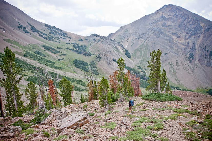
Descending West Pass
Location: 43.891942, -114.416664
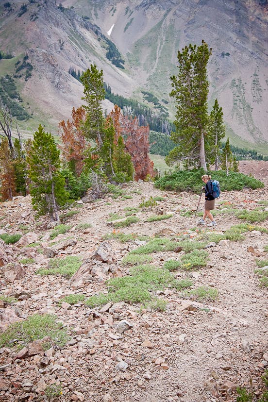
Headed downhill from West Pass towards the North Fork of the Big Wood River.