Ketchum, ID: Fox Creek

This relatively gentle loop takes in the lower foothillls of south-central Idaho’s lovely Smoky Mountains. This mountain range is immediately west of the famed Sun Valley Resort community. More gentle than their counterparts to the east and north–the Boulder, Sawtooth and White Cloud mountain ranges–the Smokies are clothed in a vast coniferous forest with many lovely meadows in between.
From the popular Fox Creek Trailhead, the hike heads up the lower end of this lovely creek before making its only real climb to the scenic ridgeline that separates Fox Creek from Chocolate Gulch. The downhill portion of the hike into Chocolate Gulch passes through a cool forest of lodgepole pine, a tree not as common in this area. The end of the hike wraps around and parallels the Big Wood River.
Hikers can expect lovely displays of wildflowers early in the summer and the possibility of spotting elk, deer or any other of the many species of wildlife that call these hills home. This hike makes for a grand morning or evening stroll when the light is right.
To Trailhead: From Ketchum, drive north on Highway 75 for about 4 miles until you spot roadside signs for the Fox Creek Trailhead. Turn left off the highway and drive about a third of a mile on the single-lane gravel road to the large parking lot. The hike begins at the sturdy metal bridge over the river.
Trail Facts
- Distance: 7.1
Waypoints
FOX001
Location: 43.756923, -114.40177
Leaving the gravel parking lot behind, begin hiking southwest across the large bridge that crosses the Big Wood River.
FOX002
Location: 43.756783, -114.402126
After crossing the Big Wood River on a large recreational bridge, begin hiking west along bubbling Fox Creek.
FOX003
Location: 43.75655, -114.402276
Keep right at the junction in the trail.
FOX004
Location: 43.755628, -114.407533
Bearing left at the trail junction, continue hiking along Fox Creek. Watch for signs of the Castle Rock Fire that burned 48,520 acres in 2007 and how Mother Nature is quickly rehabilitating the area.
FOX005
Location: 43.753133, -114.416213
Stay right at junction in trail. Leaving Fox Creek, begin climbing uphill through mixed forest and meadows.
FOX006
Location: 43.754628, -114.418563
Stay right at junction in trail. From here, the trail makes a steady push to the high point of the hike.
FOX007
Location: 43.762574, -114.418841
Enjoy amazing views across the valley of the Big Wood River to the high, craggy summits of the distant Boulder Mountains. This marks the high point separating Fox Creek and Chocolate Gulch.
FOX008
Location: 43.764632, -114.418949
Begin to descend as the trail enters a a quiet forest of Douglas fir and lodgepole pine.
FOX009
Location: 43.768537, -114.420419
Stay right at Y. Continue hiking along the trail as it winds downhill through mixed aspen and conifer trees.
FOX010
Location: 43.768382, -114.412823
Stay right at the junction in the trail. Continue hiking southeast through an open forest of Douglas fir.
FOX011
Location: 43.765422, -114.407909
Watch for the clear-flowing Big Wood River as it comes into view to your left. From here until the trailhead, the trail rises and falls along the steep slopes above the river.
Lower Fox Creek
Location: 43.755076, -114.408145
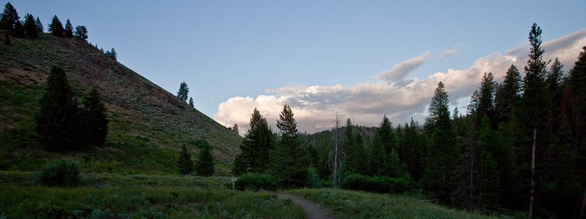
Lazy summer clouds hang over Idaho’s eastern Smoky Mountains.
Fox Creek
Location: 43.753588, -114.4169
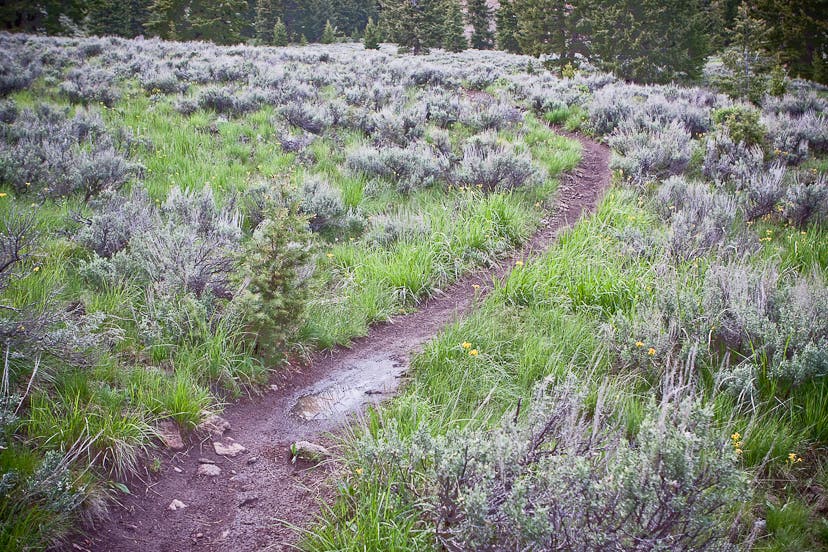
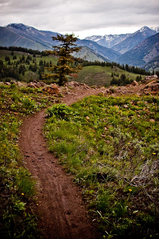
The trail begins to climb uphill through sagebrush meadows away from Fox Creek. After climbing uphill for another mile or so, the trail crests a ridgeline before dropping into Chocolate Gulch.
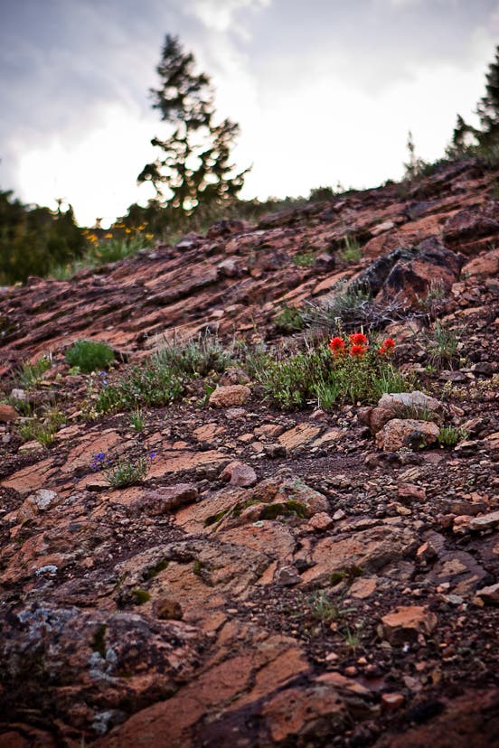
Early summer wildflower garden
Location: 43.761052, -114.42132
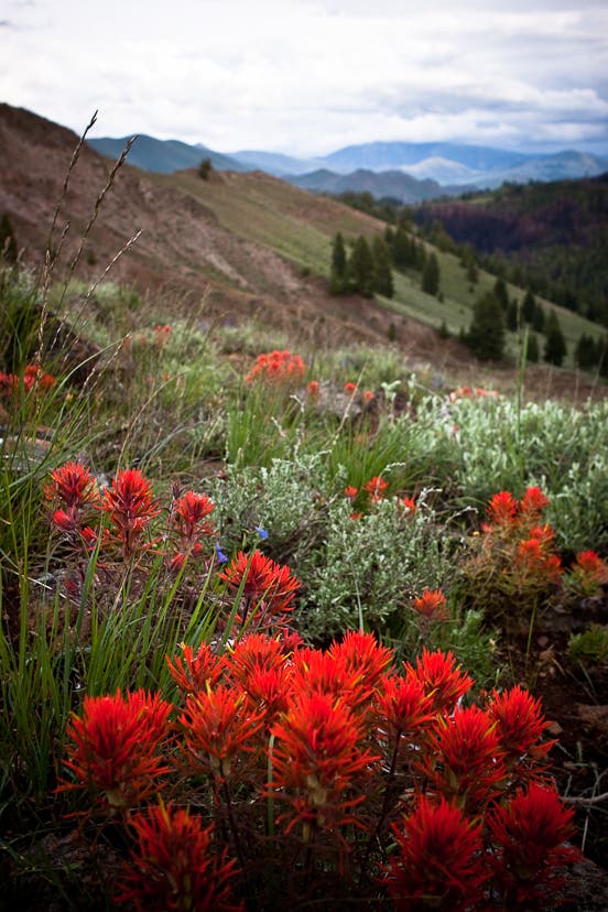
A closeup view of early summer wildflowers in the eastern foothills of the Smoky Mountains.
Distant views
Location: 43.761362, -114.420977
Near the ridgeline between Fox Creek and Chocolate Gulch views extend far south into the Big Wood River valley.
Rock garden
Location: 43.761523, -114.420505
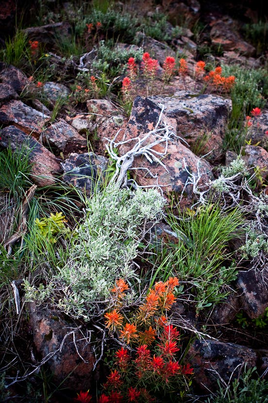
A lovely rock garden along the Fox Creek-Chocolate Gulch loop trail.
Northern views
Location: 43.763817, -114.419131
Distant views from the ridgeline separating Fox Creek and Chocolate Gulch extend northeast to the highest reaches of the Boulder Mountains.
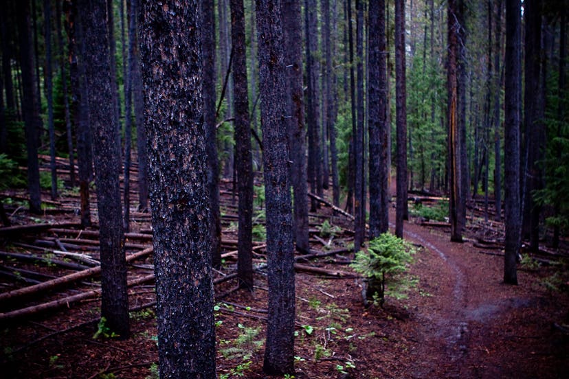
Cool forest of lodgepole pine
Location: 43.763693, -114.425826
Once in Chocolate Gulch, dense forests close in and give the hike a surprisingly remote feel for a trail so close to town.