Published August 3, 2017 05:22PM
Kaibab National Forest Remaps Trails in Topographical Initiative
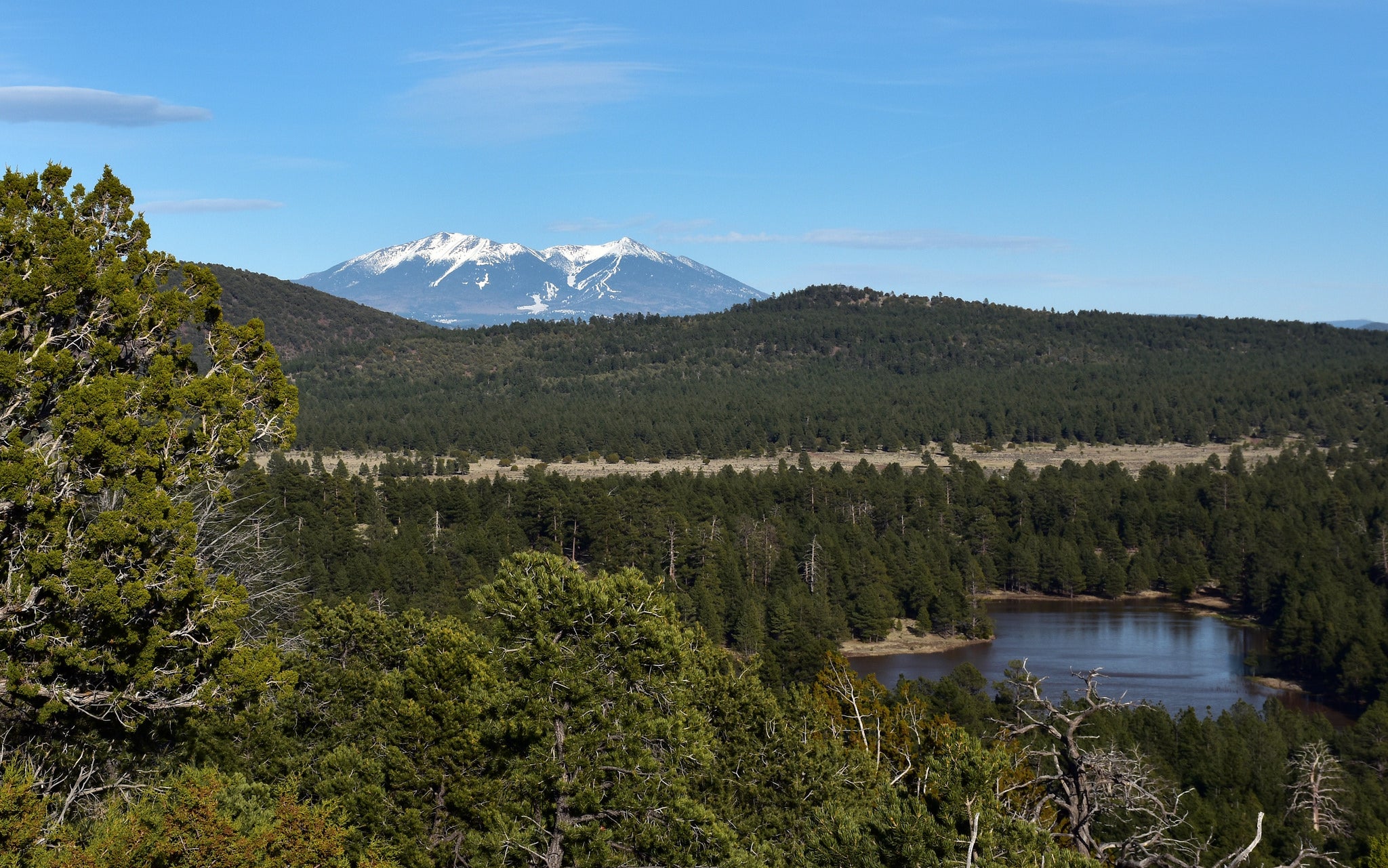
Employees and interns are updating USGS topo maps by hiking each and every mile in 1.6-million-acre Kaibab NF.
'U.S. Forest Service, Southwestern Region, Kaibab National Forest'
Throughout this summer, a group of employees and interns have been collecting data on every trail mile in Kaibab National Forest. The result? More exact digital elevation models, more accurate routes, improved safety for firefighters—and brand-new maps for hikers.