Juneau, AK: Perseverance Trail

This 6.5-mile hike outside Juneau explores a wooded basin tucked below Mt. Juneau and Mt. Roberts. The route begins on the Perseverance Trail—the first road in Alaska—before turning right onto the Red Mill Trail at mile 1.7. (Look for views of Ebner Falls at mile 0.8.) At mile 2.7, turn right onto the unmarked Granite Creek Trail and follow it southeast to the head of Silverbow Basin. A narrow spur trail leads to views of Alaska Chief Falls. The return route descends the basin, then follows the Perseverance Trail back to the trailhead.
-Mapped by Dave Miller
Trail Facts
- Distance: 10.5
Waypoints
PTL001
Location: 58.308075, -134.38649
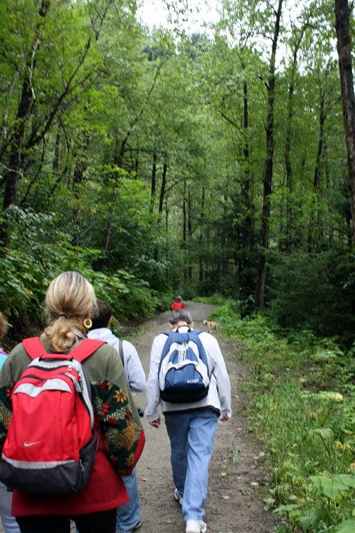
From the trailhead, hike northwest on a well-marked path that passes an old mine shaft. Alders and cottonwoods line the trail.
PTL002
Location: 58.309345, -134.388306
Turn right at 3-way and ascend a wide gravel trail (service road). Thick vegetation covers the hill to the north; views of Juneau and the harbor on can be seen on the right (downhill side of trail).
PLT003
Location: 58.308022, -134.381775
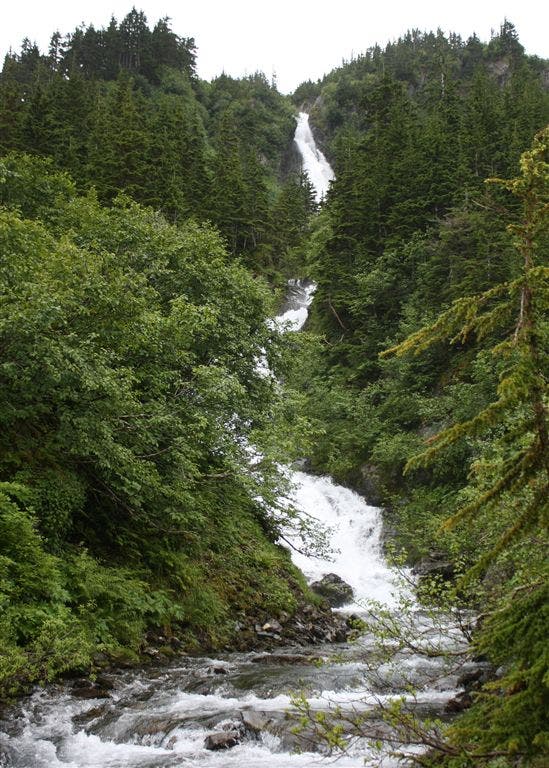
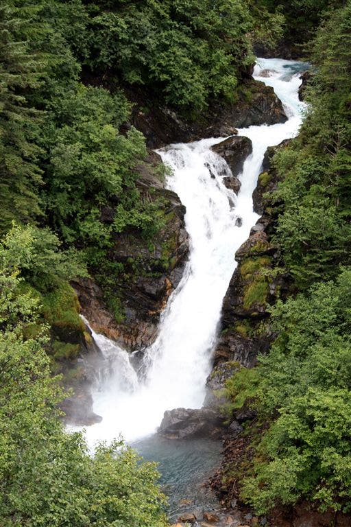
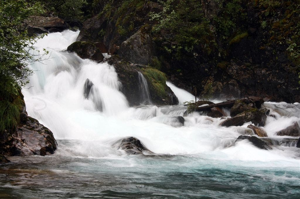
Look east for views of Snowslide Gulch, a narrow cleft cut into the hillside above Gold Creek. Ahead: The wide gravel trail continues to ascend; you’ll get great views of Ebner Falls to the right. The falls and water of Gold Creek have a glacial, aqua hue.
PTL004
Location: 58.313705, -134.377869
The route passes a spur trail to Gold Creek and continues to climb through lush forest dotted with sweet salmonberries. Side trip: Turn right onto the spur for a quick detour. The narrow trail winds through brush and wild blueberries to the rocky banks of Gold Creek above Ebner Falls.
PTL005
Location: 58.315249, -134.365067
Right at Y-junction. Leave the wide Perseverance Trail for the narrower, rockier, and steeper Red Mill Trail. Sitka spruce and hemlock line the trail.
PTL006
Location: 58.311735, -134.353215
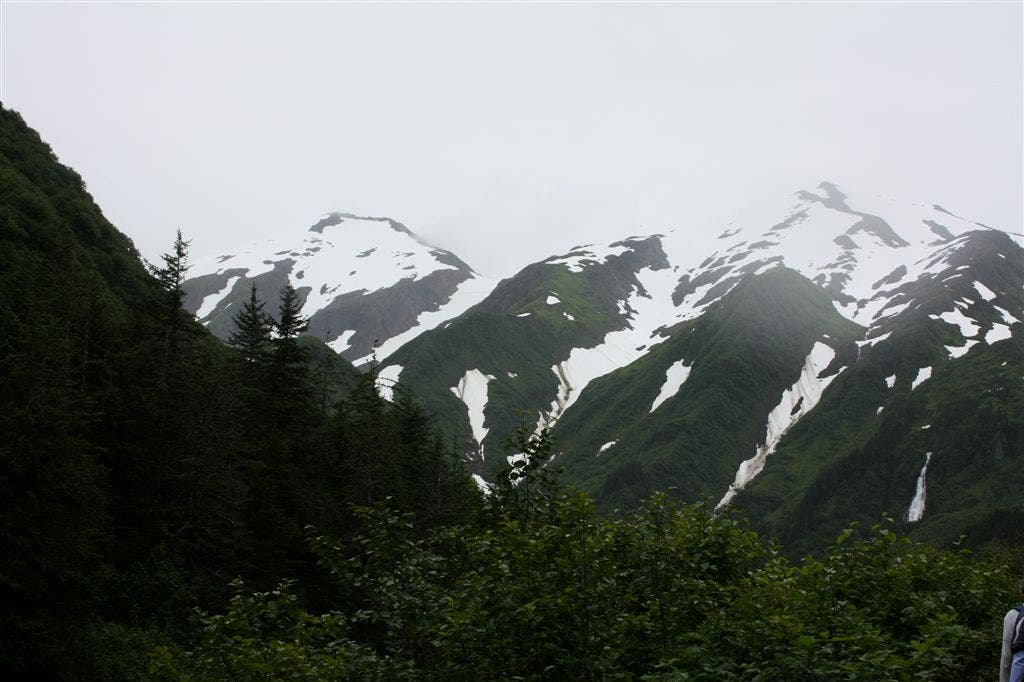
Bear left at Y-junction toward Granite Creek. The majority of the uphill is over. Watch for the white rams on the snowy peaks above.
PTL007
Location: 58.310833, -134.345215
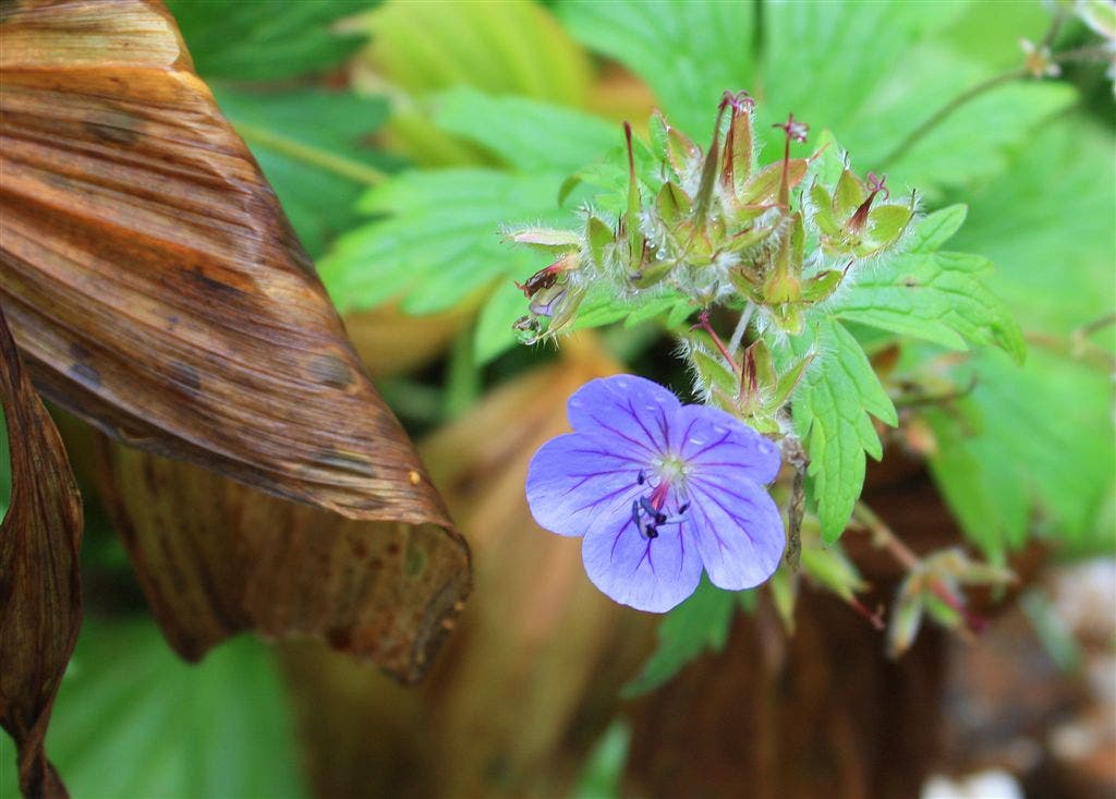
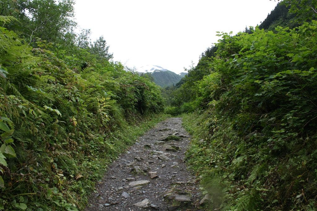
Right at 3-way. Trail connects with the unmarked Granite Creek Trail. Ahead, the trail levels out and narrows; high brush flanks both sides. Devils club, yarrow, salmonberries, watermelon berries, wild geraniums, and ferns line the trail.
PTL008
Location: 58.307182, -134.338501
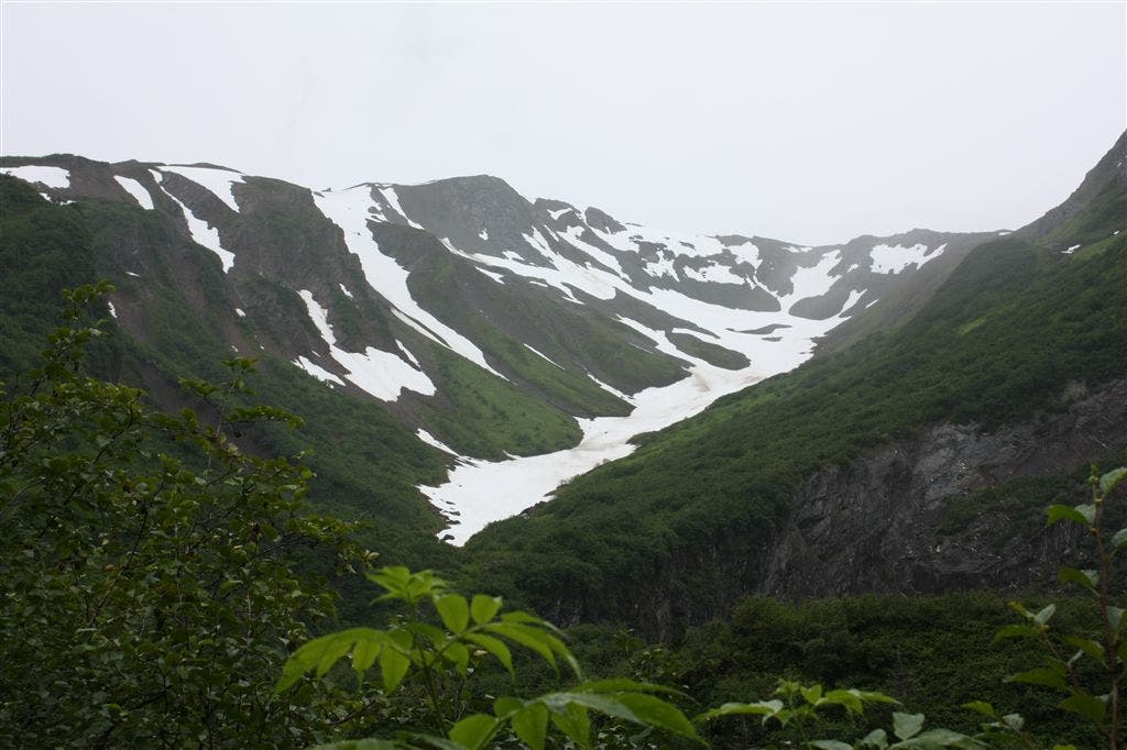
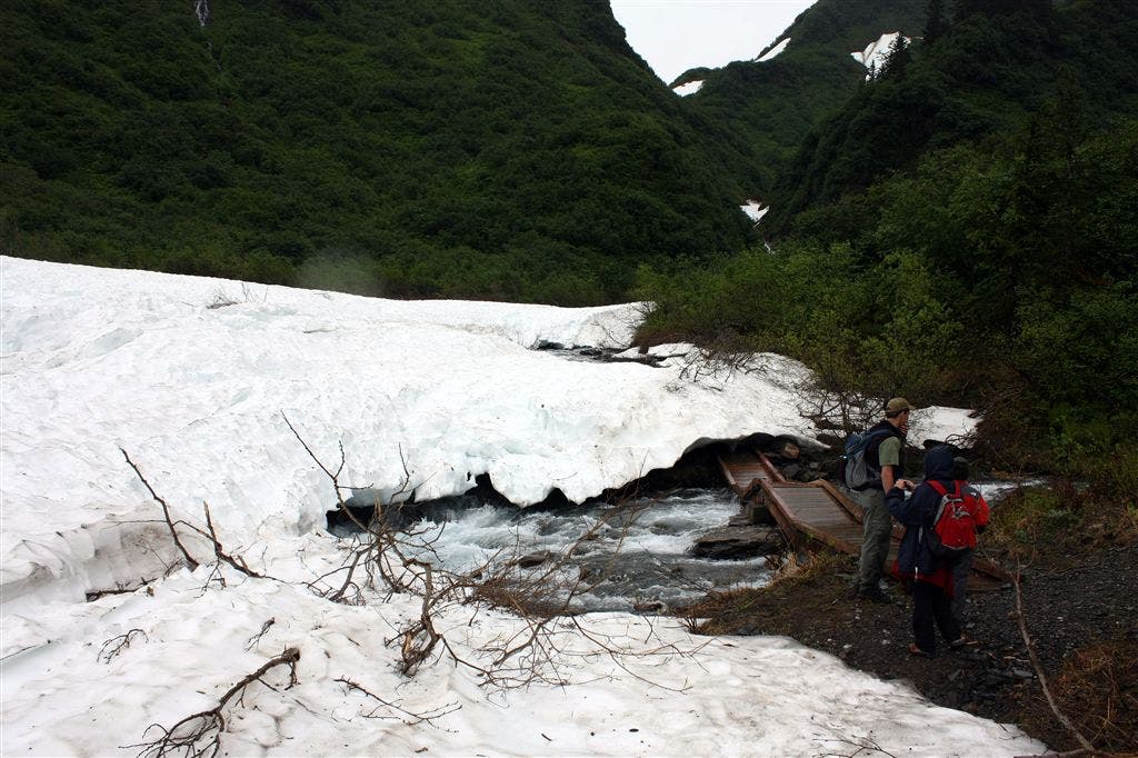
Bear left at Y-junction. On the right, you’ll see remnants of the area’s gold mines (old buildings and vent holes). The trail approaches a snowfield and Granite Creek. Side trip: The trail on the right leads to Quartz Gulch and The Glory Hole, a 1/2-mile-long and 1/3-mile-wide pit blasted into the earth by gold miners in the Juneau Gold Rush days.
PTL009
Location: 58.306908, -134.333572
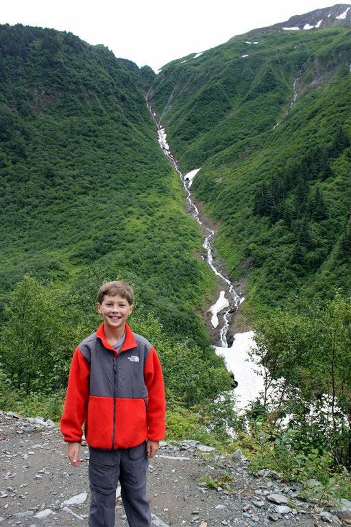
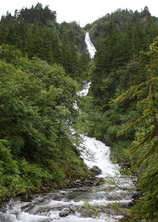
Right at Y-junction. Alaska Chief Falls comes into view. A narrow trail climbs to a vista where the rushing waters of the falls can be better seen. Next: Turn around and head back on Gold Creek Trail.
PTL010
Location: 58.310894, -134.345032
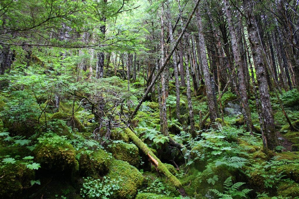
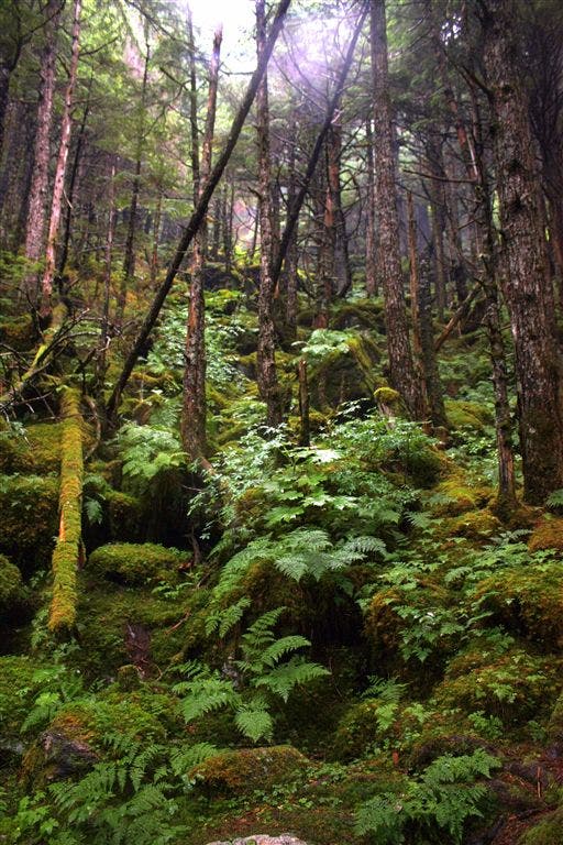
Cross the bridge over Granite Creek, and head northwest. A heavily forested and steep mountainside borders the right side of the trail. Vibrant mosses and lichens and lush undergrowth cover this rainforest.
PTL011
Location: 58.314369, -134.350113
Left at 3-way. Trail continues descent. Caution: The steeper sections of trail are mostly granite, which can be very slick when wet.
PTL012
Location: 58.315758, -134.361282
Cross the bridge over Gold Creek. Ahead: The trail re-connects to the Red Mill Trail. Turn right and retrace route to the trailhead.
Alaska Chief Falls
Location: 58.306513, -134.333653
Trailhead
Location: 58.30808, -134.386268
Trail Marker
Location: 58.309337, -134.388081
Perseverance Trail
Location: 58.309193, -134.384857
Snowslide Gulch
Location: 58.308001, -134.38159
Ebner Falls
Location: 58.311924, -134.379616
Wild Geranium
Location: 58.312972, -134.379787
Gold Creek
Location: 58.313547, -134.376783
Primordial Trees
Location: 58.315006, -134.37187
Lush trail
Location: 58.315277, -134.366763
Juneau Ridge and Olds Mountian
Location: 58.31003, -134.343567
Clarks Peak
Location: 58.309286, -134.342945
Snowfield
Location: 58.3072, -134.338117
Alaska Chief Falls
Location: 58.306411, -134.333525
Lush Vegetation
Location: 58.316218, -134.355025