Joshua Tree National Park: Ryan Mountain

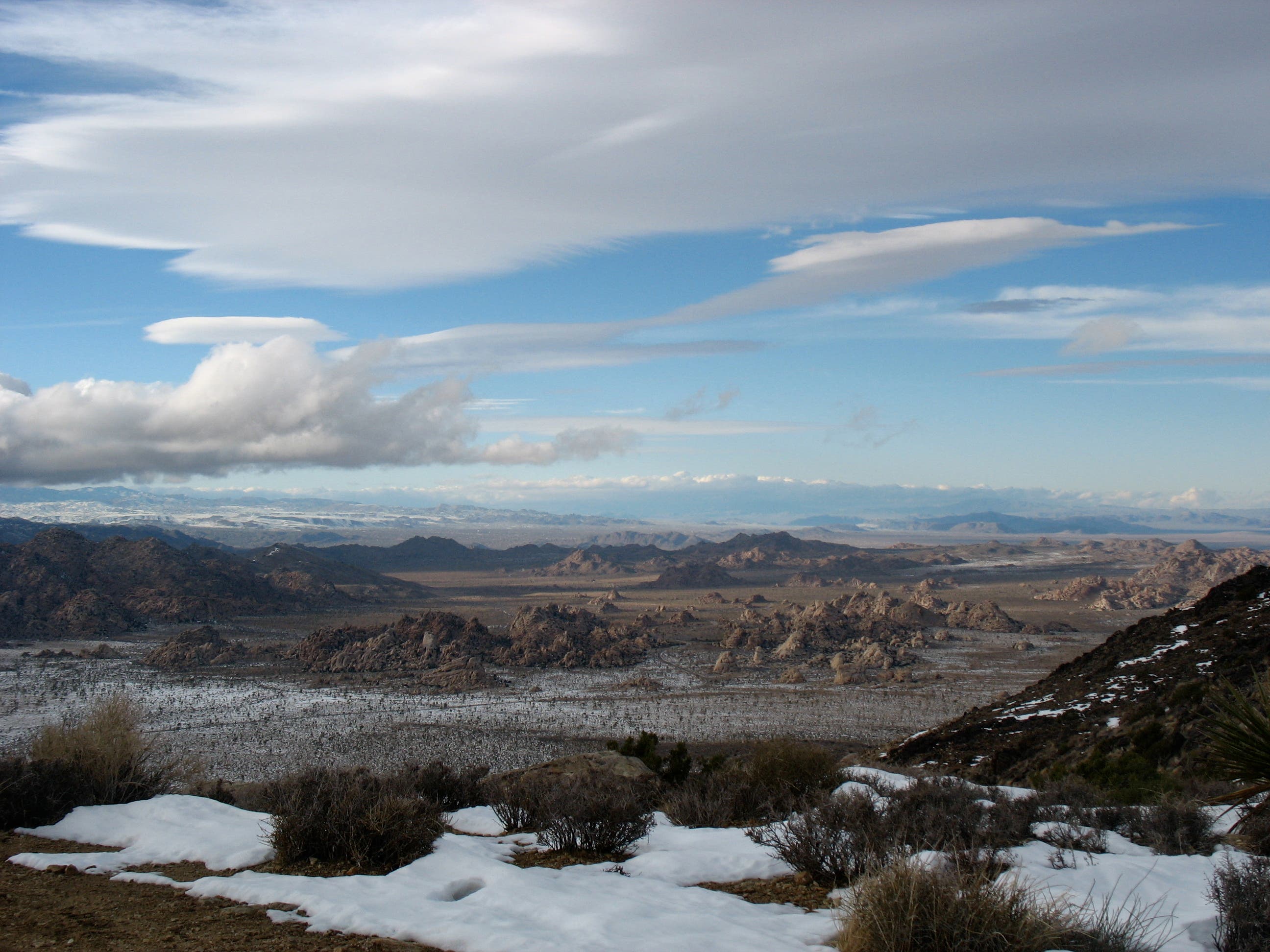
After a quick pass through a cluster of towering boulders – squint left to look for rock climbers – this moderate 3-miler starts a 1,000ft climb up Ryan Mountain. Mojave yuccas and desert scrub are early distractions, giving way to ever-expanding views of surrounding mountains and valleys. After the big curve on the western slope, the parking lot drops out of view and the trail turns rocky. From here it also climbs a bit more steeply – dodging boulders and cutting through carved rock – before a gentle ridgeline ascent. On the 5,4571 ft summit, a 360 degree turn affords stunning views of several surrounding valleys and mountain ranges. The jagged, lunar-like Wonderland of Rocks is visible to the northwest.
This hike, though moderate, is generally shadeless and can be taxing in summer. Bring water.
-Mapped by Amy C. Balfour
Trail Facts
- Distance: 2.3
Waypoints
RM006
Location: 33.98619, -116.13461
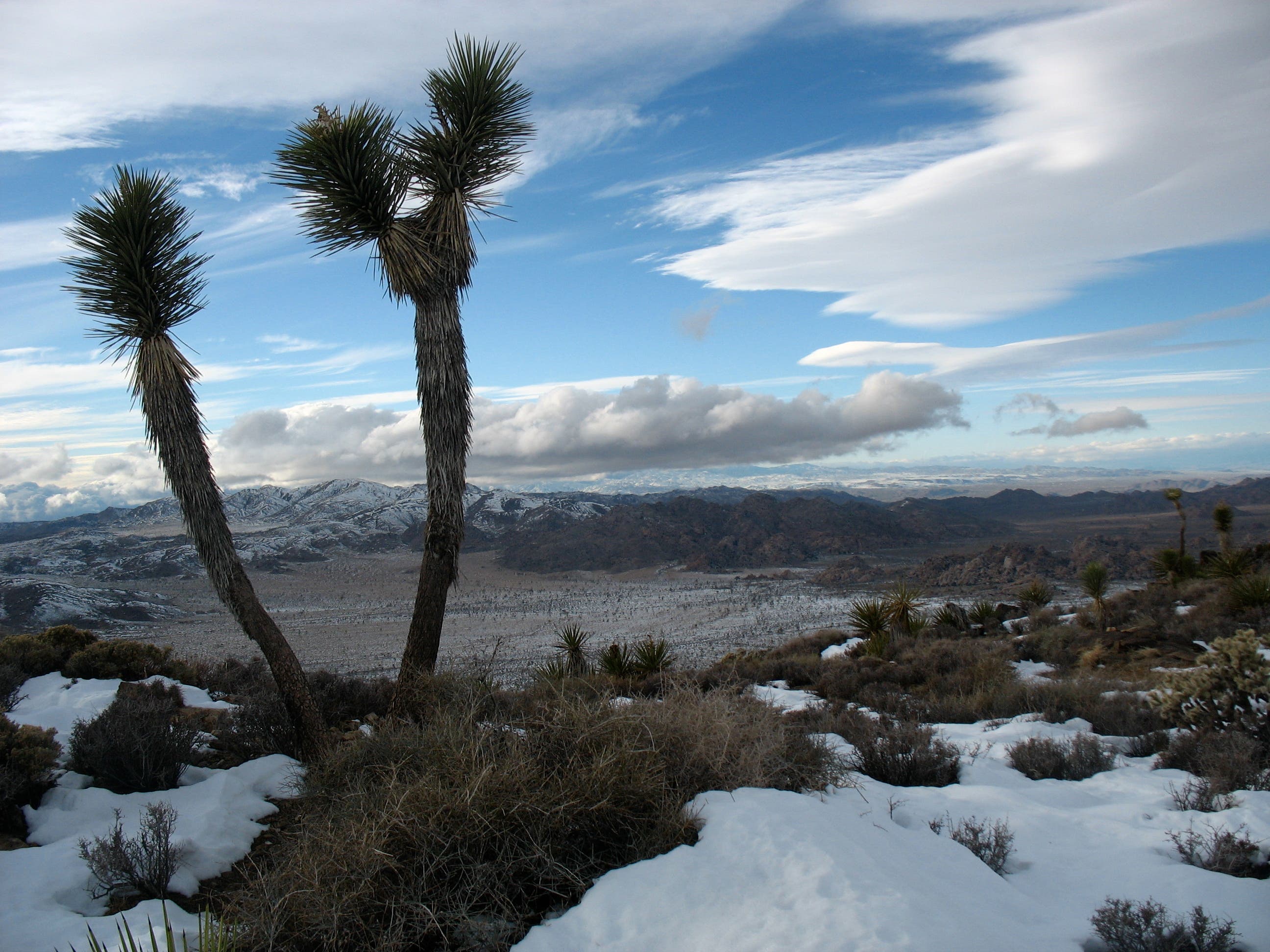
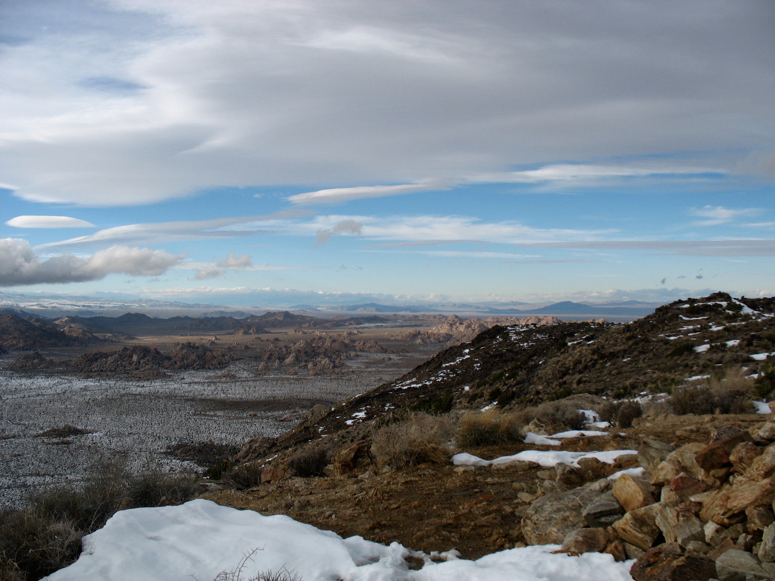
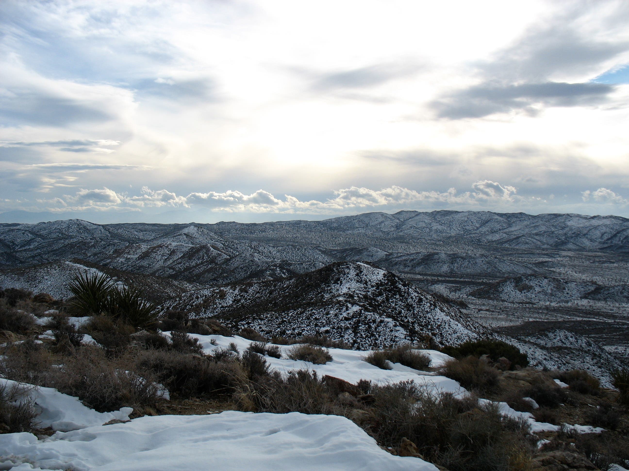
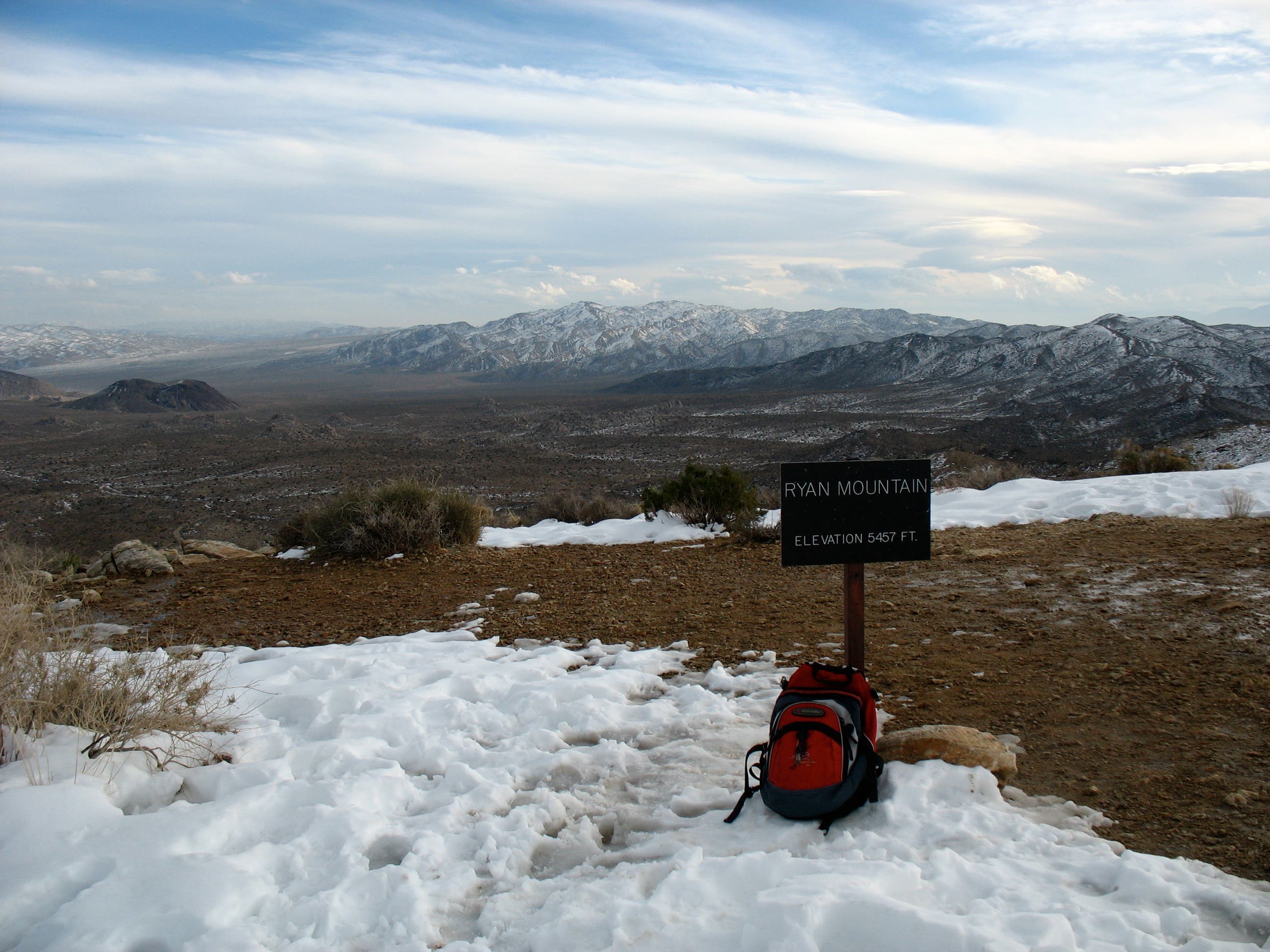
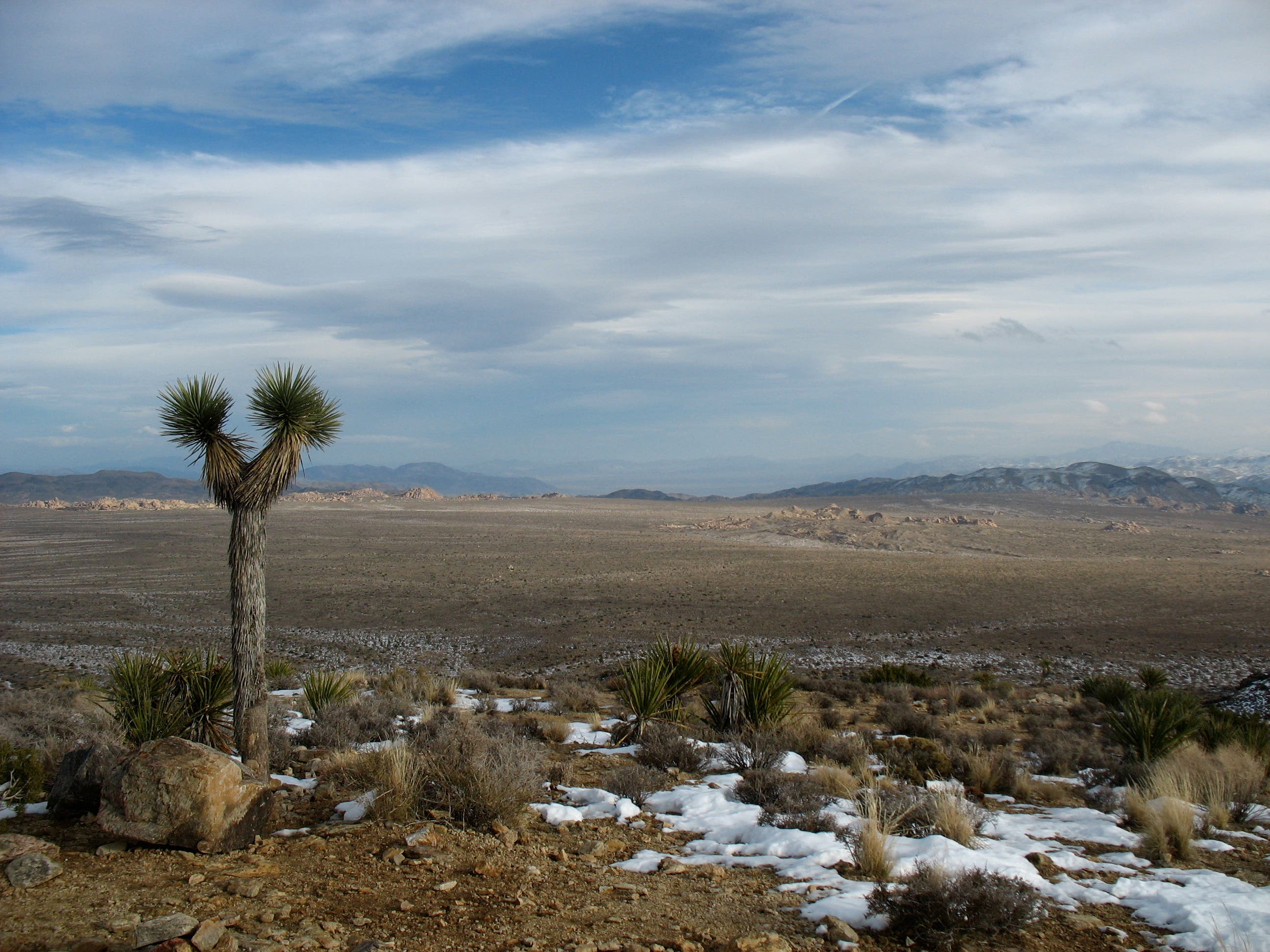
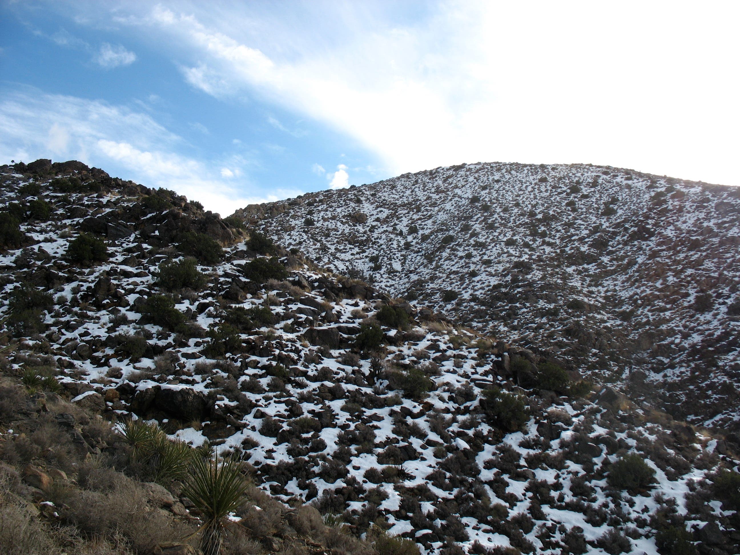
After winter snowstorms, you may find yourself trudging through snowdrifts as you take your last few steps toward the sign marking the summit. But the views will keep you from caring. A 360 degree turn from the northeast sweeps in the Mojave and Colorado Deserts, the Pinto Basin, and the Hexie and the Little San Bernadino mountain ranges. The jagged, lunar-like outcropping visible in the northwest is the Wonderland of Rocks – a nice subject for a sunset photo.
RM005
Location: 33.989296, -116.132864
The last big bend before the summit. It’s a level spot to catch your breath while taking in views of the mountains and deserts in the east and southeast. From here, it’s a gentle climb to the summit.
RM004
Location: 33.998267, -116.136821
To the south you’ll see the yucca-and-rock covered ridge that leads to the summit. Fortunately, it’s not too imposing. Here the trail threads through boulders and skips over steps that have been cut into the rock. The pointy fronds of the ubiquitous Mojave yucca lie in wait to snag your polarfleece.
RM003
Location: 33.998219, -116.136797
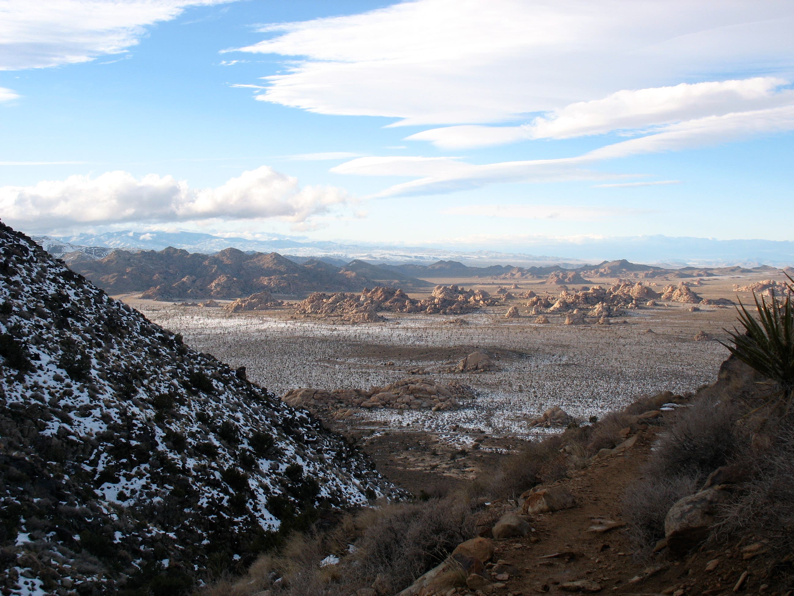
As the trail curves around the hill, the parking lot drops out of sight. Here you’ll catch a few hints of the expansive views to come. From this point, the trail starts a slightly steeper ascent.
RM002
Location: 33.999912, -116.135405
Junction with the the trail to Sheep Pass Campground. Take a right to continue to the summit.
RM001
Location: 34.00255, -116.13592
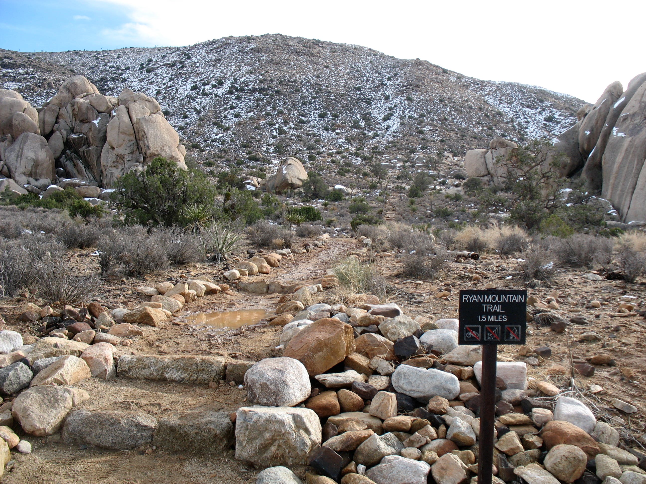
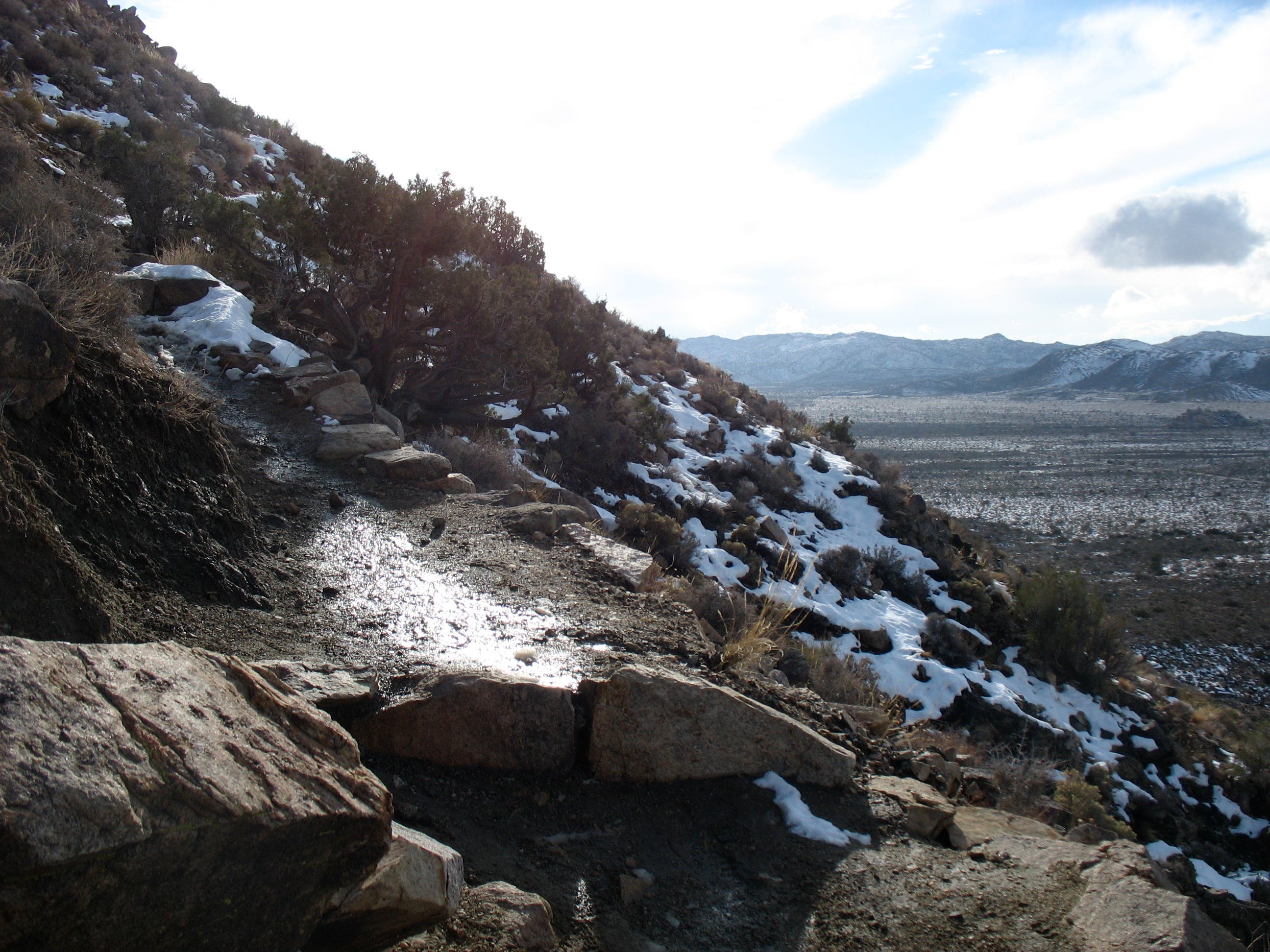
The trailhead looks like a giant’s marble yard, with towering boulders clustered just south of the parking area. After a winter storm, the well-marked trail may be muddy in places, and you may encounter deep snow as you approach the summit. In summer, know that the trail has little shade. Though the hike up can take anywhere from 1-3 hours, expect a much quicker descent – as little as 30 minutes if you hurry.
Ryan Mountain Trailhead
Location: 34.0022967, -116.1354876
After a winter storm expect a muddy trail. You may hike through snow near the summit.
Expanding Views
Location: 33.9979917, -116.1362171
Views open up as the trail curves east.
Yucca-and-Rock Covered Ridge
Location: 33.9973868, -116.1366892
Last Stop Before the Summit
Location: 33.9892387, -116.1325693
Looking east toward the Pinto Basin. The lonely Joshua Tree here looks vaguely like a Hidden Mickey from Disneyland.
Ryan Mtn Summit
Location: 33.986143, -116.1345005
According to the sign, my backpack is resting comfortably at 5,457ft.
Snow-Covered Mountains
Location: 33.9857159, -116.134243
View of Wonderland of Rocks
Location: 33.9853245, -116.135788
View of Wonderland of Rocks 2
Location: 33.9856092, -116.1360455
Joshua Tree atop Ryan Mtn
Location: 33.9858939, -116.1354876
Descending from the Summit
Location: 33.9862853, -116.1355734
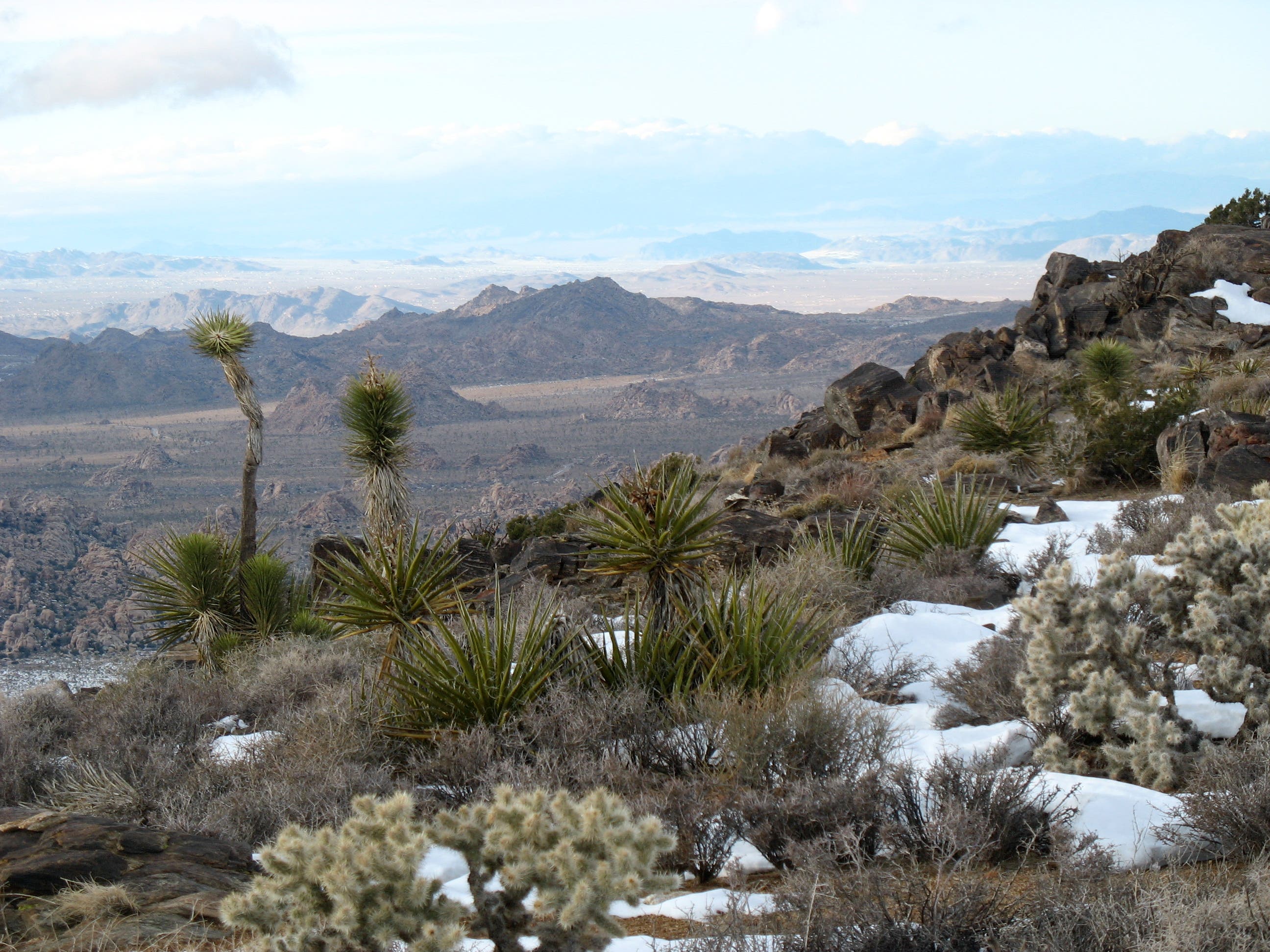
White cholla cactus, Mojave yucca and a few Joshua trees are scattered across the ridgeline to the summit.
Rocks and Snow
Location: 33.9929037, -116.134758
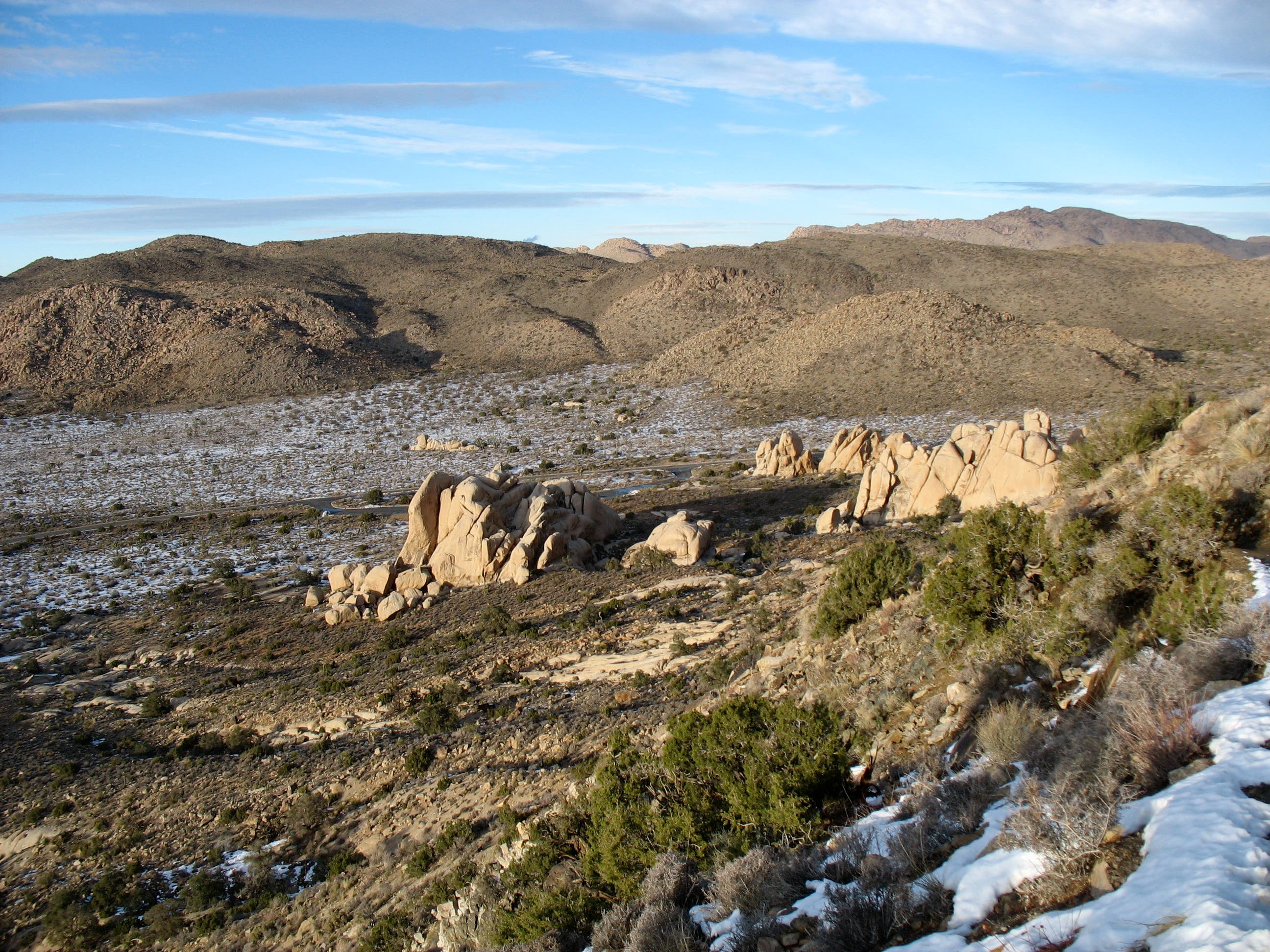
The setting sun casts an otherworldly glow across the rocky landscape on my descent.
Sunset on Boulders
Location: 34.0011582, -116.1356163
Just before 4:00pm on December 23rd. Two hours earlier a climber was scrambling up the large rock formation on the right.