Published September 20, 2013 05:20AM
Joshua Tree National Park: Mastodon Peak
In 2.6 miles, you'll explore abandoned mine sites, learn about desert fauna, and scramble up Mastodon Peak for wide-open views of Joshua Tree National Park.
This short, 2.6-mile loop in the southern reaches of Joshua Tree National Park skirts an abandoned gold mine en route to expansive views from the top of Mastodon Peak.
Hike to Mastodon Peak
From the trailhead at Cottonwood Spring, head west on an easy, well-marked nature trail flanked by cat’s claw, Mormon tea, and Mojave yucca.
In less than half a mile, turn right off the nature trail and climb up a low ridge. At the top, look for the concrete foundations of mill buildings that once housed mining equipment. The route passes cholla cacti and Mojave yucca as it follows a sandy, boulder-lined path through a massive boulder field. After 1.3 miles, pass the Mastodon Mine, a former gold mine owned by the George Hulsey family from 1934-1971.
ADVERTISEMENT
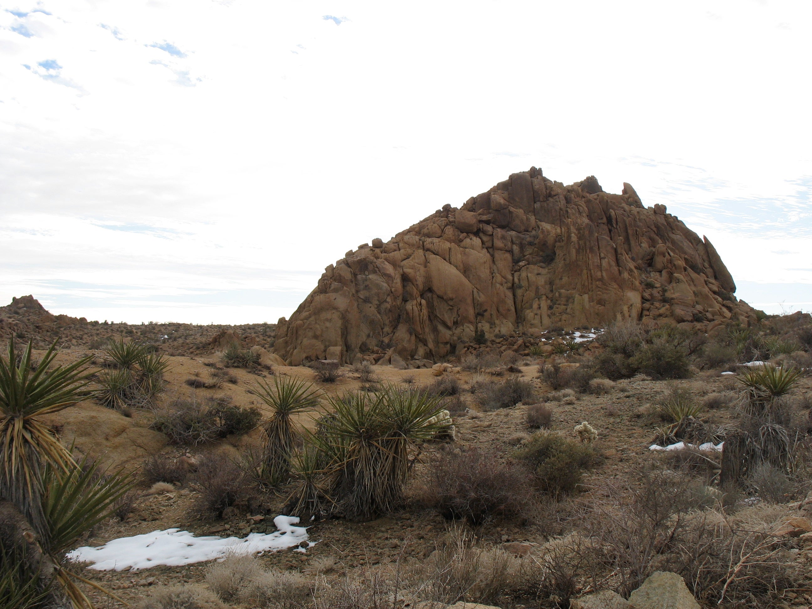
Shortly after the mine, turn left for an adventurous scramble up Mastodon Peak, a towering cluster of boulders and rock slabs. From the top of the peak, views of Joshua Tree National Park stretch out into the distance—look for the sparkling to the south. The route finishes with a descent to Lost Palm Oasis Trail. Turn right for the 0.8-mile stretch back to Cottonwood Spring.
Info: Joshua Tree National Park
-Mapped by Amy Balfour


Trail Facts
- Distance: 4.2
Waypoints
MAP001
Location: 33.7377393, -115.8111629
The loop starts and ends at the Cottonwood Spring parking area. Heading northwest toward the Visitor Center, the hike starts with an easy walk on a nature trail. The first part of the nature trail runs parallel to the road.
MAP002
Location: 33.7394969, -115.8124235
Stay right and follow the sandy path to the north (path is bordered by a line of rocks). Pass signs identifying desert flora.
MAP003
Location: 33.7409534, -115.8110771
Climb rock stairs to the south and leave the nature trail. At the top of the rise, look left to see the concrete foundations of the Winona Mill site. Here, workers processed materials that were removed from the Mastodon Mine.
MAP004
Location: 33.7413013, -115.8072013
ADVERTISEMENT
Take a sharp right. The trail passes cholla cacti and Mojave yucca as it winds through a massive boulder field, a great spot for light bouldering.
MAP005
Location: 33.7376255, -115.8014479
Turn right and climb rock steps to a small ridge. From here, Mastodon Peak is visible to the south.
MAP006
Location: 33.73443, -115.79987
Mastodon Mine: A former gold mine owned by the George Hulsey family from 1934-1971.
MAP007
Location: 33.7337734, -115.7994524
Turn left at 3-way junction to climb to the top of Mastodon Peak. The route features some tricky sections and may not be ideal for kids or those scared of heights. If you’re not up for the scramble, continue straight on the loop to the intersection with the Lost Palms Oasis Trail.
MAP008
Location: 33.7341548, -115.7991171
From the summit of Mastodon Peak, enjoy panoramic views of Joshua Tree National Park.
MAP009
Location: 33.7323971, -115.8000237
Descend the ridge, following the trail down stone steps. Boulders and Mojave yucca dot the landscape.
MAP010
Location: 33.7316387, -115.8014318
ADVERTISEMENT
Turn right at Y-junction with Lost Palms Oasis Trail to complete the loop. Ahead: The scrub-lined trail stays fairly level, passing ocotillo plants and rocks piles.
MAP011
Location: 33.7352567, -115.8076358
Pass a trail marker. Look for the occasional white-tailed chipmunk dashing across the path.
Mastodon Peak
Location: 33.7376255, -115.8013165
Nature Trail
Location: 33.7389995, -115.8120668
Ruins of Winona Mill Mining Buildings
Location: 33.7407125, -115.810833
Boulders
Location: 33.740369, -115.8054954
Mastodon Mine
Location: 33.7344225, -115.7997501
Spur Trail
Location: 33.7337756, -115.7994148
View from Mastodon Peak
Location: 33.7341503, -115.7990769
Descent to Lost Palms Oasis Trail
Location: 33.732406, -115.799911
Approaching Cottonwood Spring
Location: 33.7366151, -115.8100578