Ithaca, NY: Buttermilk Falls

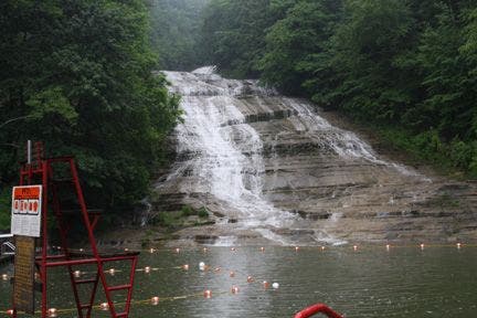
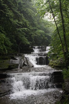
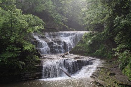
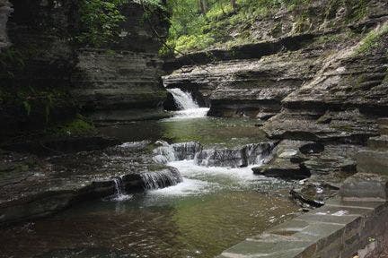
Slicing through a deep gorge, Buttermilk Creek cascades down an enormous rockslide to form Buttermilk Falls, one of Ithaca’s premiere natural attractions. From the base of the falls, the Gorge and Rim Trails carry hikers and trail runners up this iconic waterfall, showing off Buttermilk Park’s extraordinary rock formations and cascades along the way. This route kicks off on a long, winding stairway leading up from a swimming hole at the base of the falls: this is the most strenuous part of the hike. Once the trail flattens, tranquility engulfs the gorge. The surrounding deciduous forest is populated by maples, oaks, and a wide variety of conifers. Further up the gorge, high sedimentary rock walls drip cold water on hikers below. In the summer, the park’s primary attraction is its swimming hole (complete with diving board and life guard). Transitioning to fall, the Falls afford gape-worthy foliage, and in winter, the cascades freeze over to form utterly unique (and photogenic) ice spears. -Mapped by MacKenzie Ryan and Tim Merrill

Trail Facts
- Distance: 2.5
Waypoints
BFL001
Location: 42.4171562, -76.520874
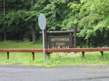
Lower Buttermilk Falls parking lot. It is free to park here on weekdays, but it costs $7 on the weekend. If you’re looking avoid this cost, there are numerous parking lots on Route 13 that are in walking distance.
Buttermilk Falls State Park has a “lower” and “upper” section. This loop, hikes through Lower Buttermilk Falls State Park. At the end of the Gorge Trail, there is an option to enter Upper Buttermilk Falls State Park and extend the hike.
BFL002
Location: 42.4164505, -76.5211945
The base of Buttermilk Falls: In the summer, there is a diving board and designated swim area. Picnic tables and grills are at the base and to the left of the falls. Cross the footbridge over the Gorge Trail and turn left up the slate steps. To access the playing fields and more secluded picnic areas, continue straight past the footbridge and turn left after 100 yards.
BFL003
Location: 42.4143257, -76.5189743
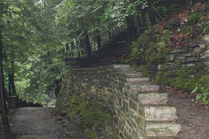
The first quarter mile is comprised entirely of slate steps, which make for an excellent warm-up. Be extremely careful if hiking this trail in winter months: “black ice” covers the steps.
BFL004
Location: 42.4137688, -76.5183563
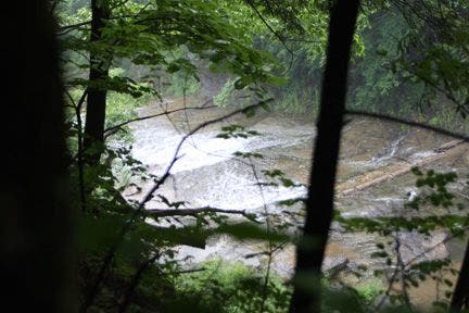
The stair section plateaus here. Glance downward and to the left to catch the first gorge view of the day.
BFL005
Location: 42.41325, -76.5178146
After the concrete steps and a short paved section, the trail turns to dirt and slick rock. Use caution and wear shoes with good tread.
BFL006
Location: 42.4131851, -76.5177689
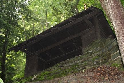
Look up and to the right to see a a log rain shelter above the trail. Ithaca is known for lake effect rain and snow, which can occur suddenly and without warning. To hide in the shelter, bear right on the spur trail and climb the steps.
BFL007
Location: 42.4120941, -76.517395
For an abbreviated loop, turn left and take the footbridge over Buttermilk Creek. Turn left again and walk up the steps.
BFL008
Location: 42.4102669, -76.514267
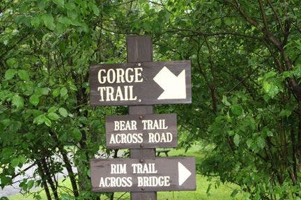
This is the end of the Gorge Trail. A trail sign will point up the stairs toward West King Road, which separates Lower and Upper Buttermilk trails. To continue, climb the slate steps up to the road and turn left. Walk east on the shoulder and bear left down the Rim Trail.
BFL009
Location: 42.4104118, -76.5137711
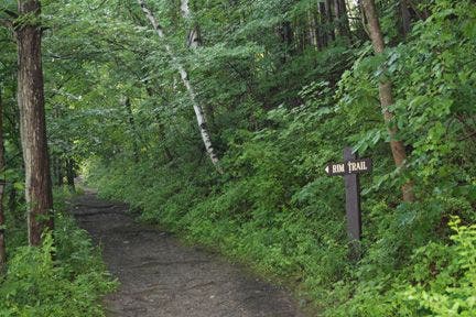
Bear left off the road and merge onto the Rim Trail. Stay left: you will pass an access road on the right. The trail becomes increasingly shaded, but you can hear Buttermilk Creek rushing to the left as you walk north.
BFL010
Location: 42.4157562, -76.5195389
Take the short spur trail about 100 feet west and catch one of the only gorge views on the Rim Trail. Turn right to get back on the Rim Trail, which will then cut through a heavily wooded area. Follow the trail down a steep, rock-strewn section and back to the parking lot.
Buttermilk Falls
Location: 42.415758, -76.5201187
©MacKenzie Ryan
First gorge view
Location: 42.4165154, -76.5212097
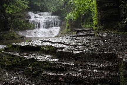
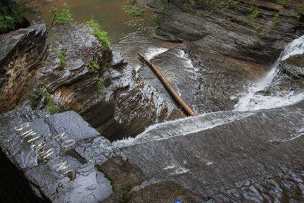
Right before Buttermilk Creek cascades downward, it moves slowly over flat sedimentary rock. ©MacKenzie Ryan
The Gorge Trail gets really wet near the second waterfall
Location: 42.4143181, -76.5189896
©MacKenzie Ryan
Second gorge view
Location: 42.4142494, -76.5189209
©MacKenzie Ryan
Rock formations at second waterfall
Location: 42.414093, -76.5188141
©MacKenzie Ryan
Third waterfall
Location: 42.4137993, -76.5183411
©MacKenzie Ryan
Turn off to rain shelter
Location: 42.4133072, -76.5178452
©MacKenzie Ryan
Rain shelter
Location: 42.4131966, -76.5177994
©MacKenzie Ryan
Footbridge
Location: 42.412117, -76.5173721
©MacKenzie Ryan
Fourth waterfall
Location: 42.4116249, -76.5169678
©MacKenzie Ryan
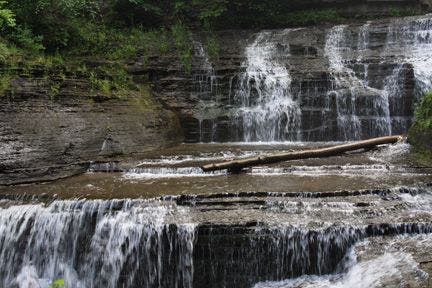
Close up of fourth waterfall
Location: 42.4115791, -76.5168152
©MacKenzie Ryan
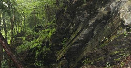
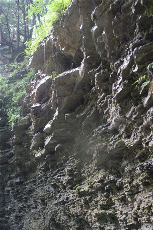
Wet, crumbling sedimentary rock walls line the Gorge Trail
Location: 42.4114685, -76.5165863
©MacKenzie Ryan
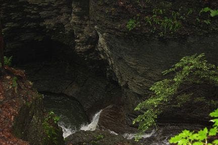
As you climb past the fourth waterfall, notice how deep the gorge gets.
Location: 42.4113083, -76.5161591
©MacKenzie Ryan
Water meanders through the gorge
Location: 42.4111099, -76.5155334
©MacKenzie Ryan
End of the Gorge Trail
Location: 42.4103012, -76.5142746
©MacKenzie Ryan
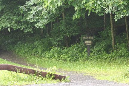
You can cross the street and take the Bear Trail to Upper Buttermilk
Location: 42.4148392, -76.5185738
For an extended loop, cross the street and take the Bear Trail into Upper Buttermilk State Park. The trail follows Buttermilk Creek through the forest, then merges with an access road. Continue east to Lake Treman. You can take the Upper Buttermilk Loop around the lake. It adds another 2 miles to your trip. ©MacKenzie Ryan
Upper Buttermilk parking lot
Location: 42.4101639, -76.5130692
©MacKenzie Ryan
Take the road east to the Rim Trail
Location: 42.4100761, -76.5135803
©MacKenzie Ryan
Rim Trail
Location: 42.4105453, -76.513855
©MacKenzie Ryan
Vear left and you’ll pass this access road on your right.
Location: 42.4109726, -76.5145264
©MacKenzie Ryan
The only gorge view on Rim Trail
Location: 42.4157982, -76.5195313
©MacKenzie Ryan
End of Rim Trail
Location: 42.4175262, -76.5201797
©MacKenzie Ryan