For Members Only: Utah's San Rafael Swell

A consensus on protecting any single plot of land in the west is a rare thing. But the San Rafael Swell—a 75-mile wide rock dome filled with ragged mesas, deep canyons, and soaring “reefs”—was beloved enough by every interest group to become one of the largest beneficiaries of 2019’s Dingle Conservation Act. Now pieced together by a slew of new wilderness areas and the just-established San Rafael Swell National Recreation Area, the oft-forgotten region is ready for the next generation of desert explorers. Here’s an exclusive look for Basecamp members. By Ryan Wichelns
The Insider
Mike Kelsey is a household name for Utah hikers—his guidebooks are near standard-issue for anyone exploring the state’s mountains, canyons, and rivers. Born and raised there, he began writing shortly after graduating from college and has now published 17 guide and history books for every corner of Utah, based almost entirely off his own experiences in each location—including four editions covering the San Rafael Swell. “I’ve got more words than I have space,” he said.
Into the Maze

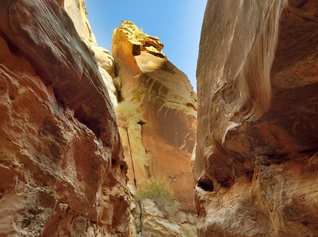
The soaring red reefs and scattered towers visible as you look across the Swell are only one small part of the area’s beauty. According to Kelsey, some of the most awe-inspiring parts of the Swell are hidden below the surface, in subterranean channels and slots. Bell Canyon and Little Wild Horse Canyon, linked together in an 8.1-mile loop, are some of the most spectacular, and an accessible option for budding canyoneers. Pay special attention to the forecast before heading into any of these canyons—flash floods can be deadly. Starting from the Little Wild Horse Trailhead, hike a half-mile north to where the canyons split. Kelsey recommends heading into Bell Canyon (the western of the two) first to make routefinding easier. Hike under tall cliffs and over a handful of short, nontechnical scrambles until reaching a dirt 4×4 road near mile 2.5. Turn right, following the road until you see a sign for Little Wildhorse Canyon on the right at mile 3.9. Little Wildhorse is narrower than Bell—“If you’re carrying a big pack through [the third and lowest slot], you might have to take it off and drag it,” said Kelsey—and features similar scrambley pouroffs while snaking through vertical waves of red Navajo sandstone. Follow Little Wildhorse back to its confluence with Bell and make a left to return to the trailhead at mile 8.1.
Hidden Splendor
From above, the canyon known as “Goblin’s Lair” or “Chamber of the Basilisk” might not look like much more than a 4 to 6 inch hole in the earth. But if you walk 1.2 miles (one-way) along the Carmel Canyon and Molly’s Castle Overlook Trails, the unique sealed slot opens up into a deep chamber with arched cathedral-like ceilings. The canyon floor is completely walkable, which Kelsey said makes it the perfect short hike for families. More experienced canyoneers can head southeast from the same trailhead to the other side of the cavern and make an 80 foot rappel into the abyss, climbing out via the hiking trail.
Ancient Art

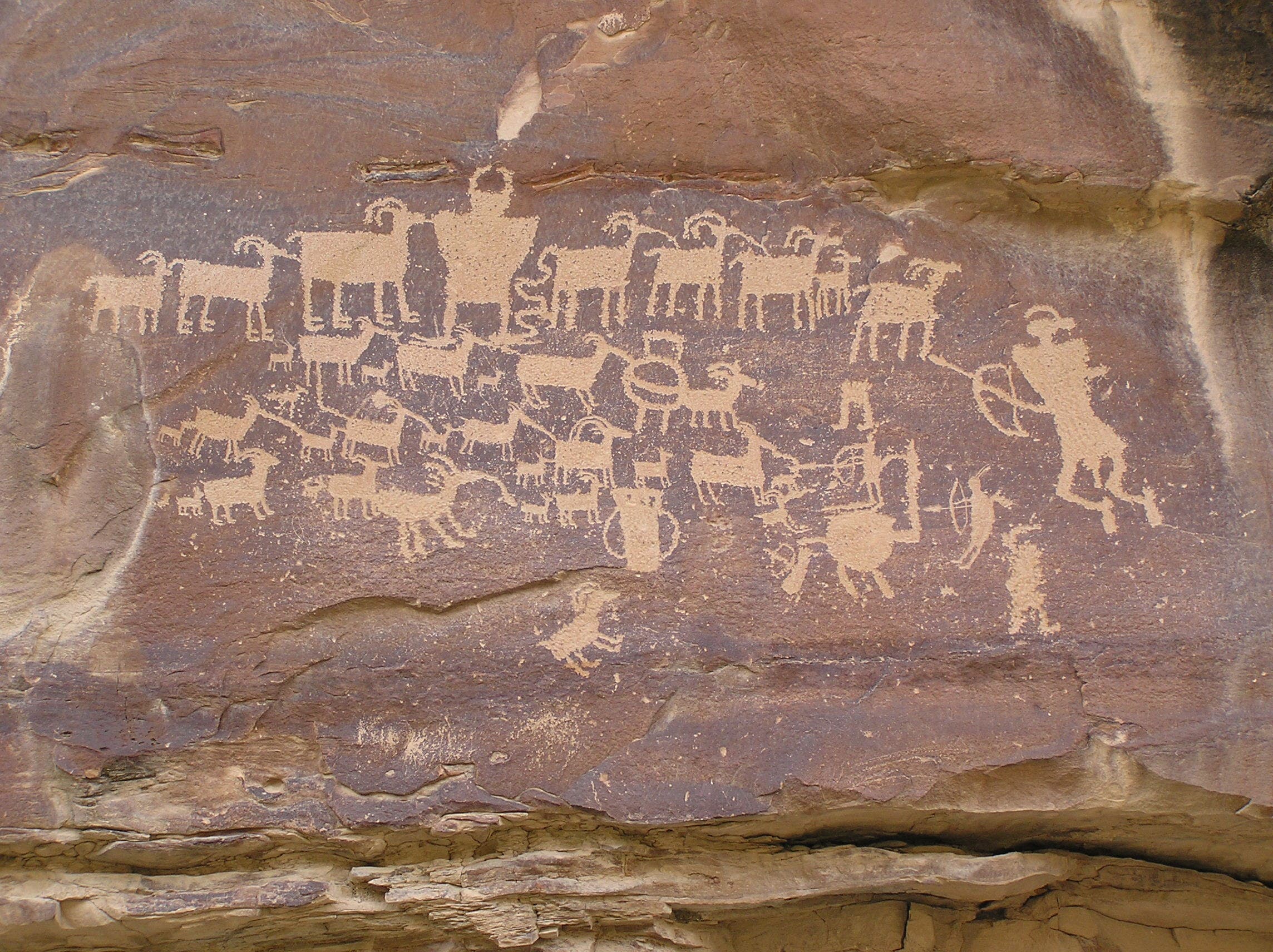
Climb above the canyons and spend the night on Sids Mountain, in the northern part of the Swell. Kelsey recommends a 2-day loop to the mesa-like mountain’s highpoint to find a historical homestead, native rock art, and views across the Utah desert. Start from the trailhead off County Road 705 (39.0665, -110.8558) and follow an old road down to the confluence of Salt Wash and Saddle Horse Canyon. Head briefly north up the wash, looking for petroglyphs on the west side, before climbing out of the wash to the east (near mile 1.5) on an old horse trail. The trail gradually ascends Sids Mountain as it heads east-southeast, reaching the 80-plus-year-old Kofford Cabin at mile 5.7. From Swazy Point, an outcropping a mile to the east, take in a panorama stretching from the northern Swell to the La Sal Mountains. Drop from the point into a sandy drainage to the northwest, known as Long Hollow, and follow it to a consistently-filled pool. Kelsey says the spot is frequented by cattle, so filtering the water thoroughly is important. Spend the night in this area, near mile 8, to explore a collection of caves and rock art not far from camp. The next morning, continue down Long Hollow before climbing out at mile 11 and following the rim south and west back to the original horse trail, reaching your car at mile 14.8.
Watering Hole
“I don’t drink or buy hamburgers, but I will occasionally buy ice cream cones,” says Kelsey. Regardless of which you prefer, Kelsey recommends heading into either Hanksville (on the Swell’s southern end) for a cone or breakfast sandwich before a hike at Blondies, or to Green River’s Chow Hound drive-in for a quick bite after coming out of the canyons.
Trip Planner
SEASON March-May, September-November PERMIT Contact the local BLM office. (Regulations are changing frequently in the area, best to ask for the most up-to-date stuff) CONTACT San Rafael Swell Recreation Area