Indianapolis: Lawrence Creek Loop

Mapped by Swati Gunale


Trail Facts
- Distance: 5.5
Waypoints
LCL001
Location: 39.8614692687988, -86.0049667358398
Leave Ivy Tech bus stop and walk W along Rising Rd. In 450 ft., turn R onto Wheeler Rd. Go 450 ft. more, then turn L @ 59th St. (becomes Shafter Rd.)
LCL002
Location: 39.8695030212402, -86.0231170654297
Straight @ 3-way to stay on Shafter Rd. In 100 yds., turn L @ stop sign onto Glenn Rd. Pass the park’s sledding hill on R
LCL003
Location: 39.8667488098144, -86.0239791870117
Turn R @ Lawrence Creek Trailhead; follow dirt path for mild uphill into wooded confines of Ft. Harrison State Park
LCL004
Location: 39.8645896911621, -86.028678894043
To begin loop, turn L @ T; pass sign designating return route to trailhead
LCL005
Location: 39.8620491027832, -86.0305328369141
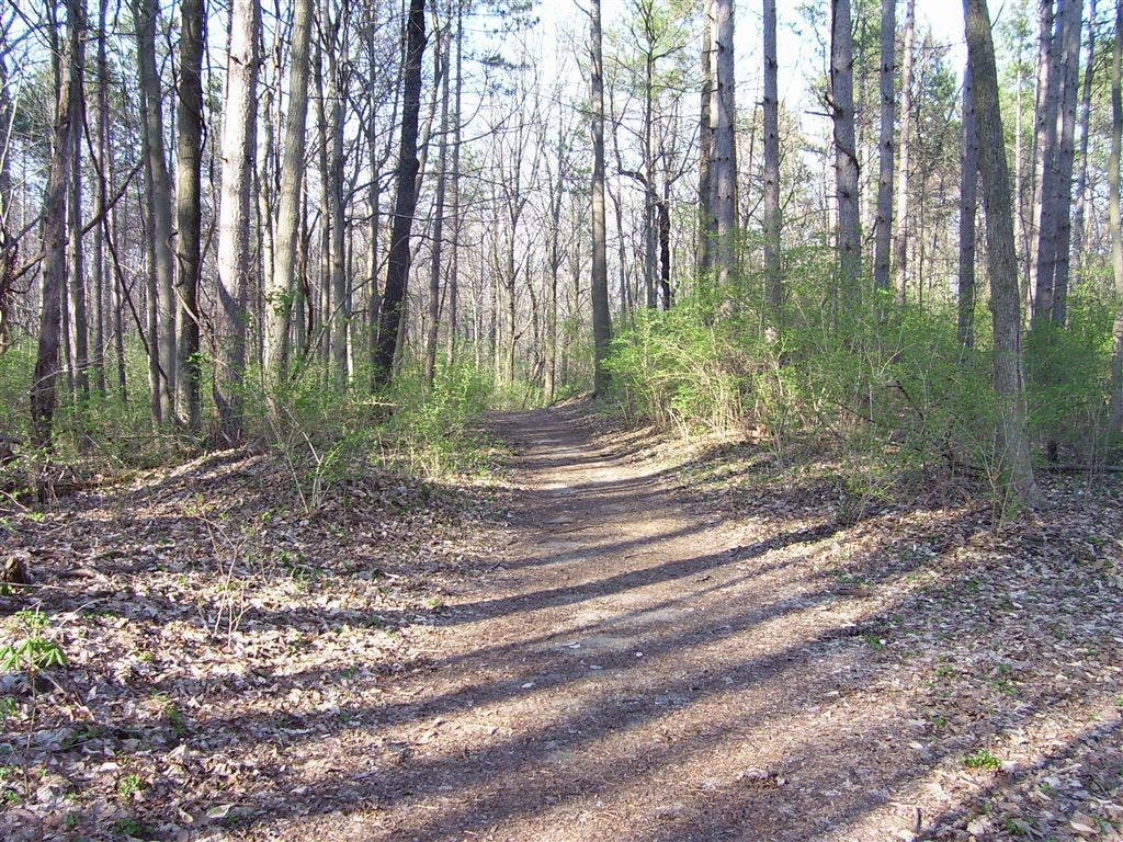
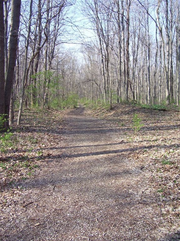
Easy-going trail curves R; cruise through woods of ash, maple, and sycamore; look closely to spot deer that blend into background
LCL006
Location: 39.8630905151367, -86.0332336425781
Trail bends R for slight descent (trail on L leads to Boy Scout Rd.)
LCL007
Location: 39.8647117614746, -86.0332565307617
Continue straight (N). During winter months, scan leafless trees for crow-sized pileated woodpeckers (males sport a distinct red crest on their heads)
LCL008
Location: 39.8675918579102, -86.0336837768555
Turn R @ T
LCL009
Location: 39.8684501647949, -86.0328674316406
Bear R @ marked Y (path on L leads to Walnut trailhead parking area). In 200 ft., turn R @ T
LCL010
Location: 39.8675804138184, -86.028678894043
Straight past side trail on L. In 100 yds., straight @ 3-way with another side trail on L. Follow S to WPT 4; turn L to trailhead
Lawrence Creek Trail
Location: 39.8671607971191, -86.0285873413086
Woods
Location: 39.8629837036133, -86.0328521728516
Trailhead
Location: 39.866771697998, -86.0242767333984