Indianapolis, IN: Red Hills State Park

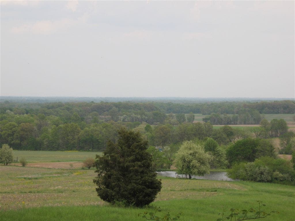
This easy, 1.8-mile loop circles the north side of the park and climbs atop Red Hill: a cross-bearing overlook above the farm-spotted surrounds. Depending on the season, you’ll hike past wildflowers, autumn colors and even mid-winter ice-skating.
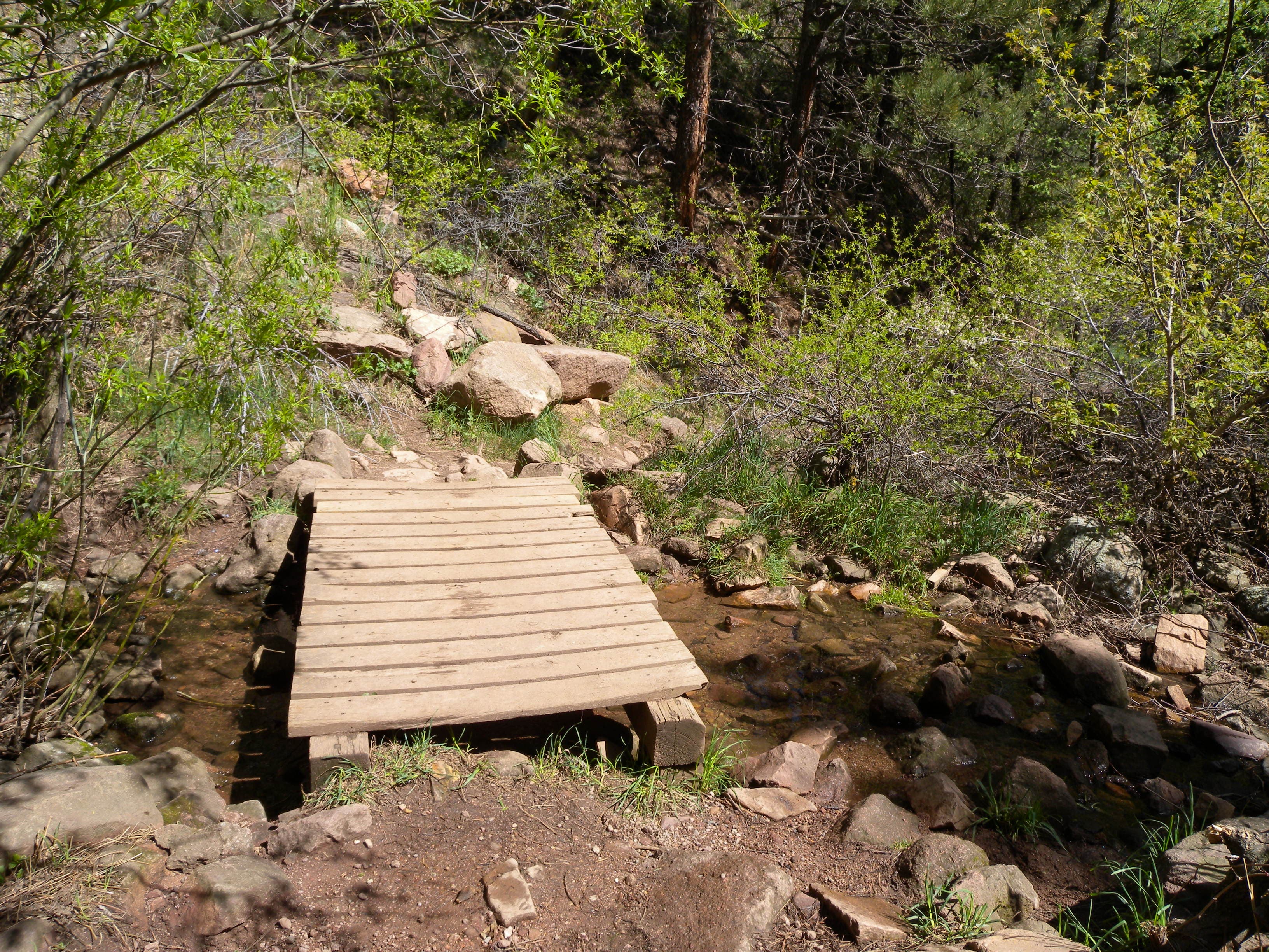
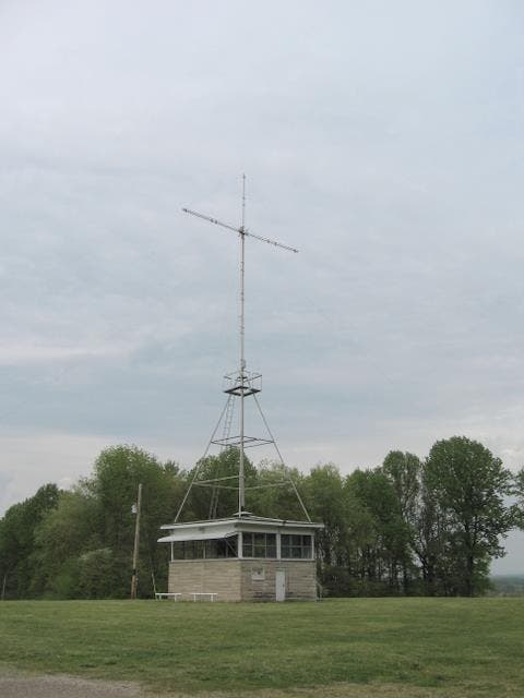
Beginning at the main trailhead entrance near the north-side picnic shelter, follow signs for the Valley Spring Trail leading into a tree-laden ravine. Cross the wooden bridge and bypass two right-hand connector trails as you climb the gentle hill, reaching it’s apex at mile 0.6. The views, while only 200 feet above the surrounding landscape are spiritual in nature and inspired a church—and 40-foot neon cross—that share the summit space.
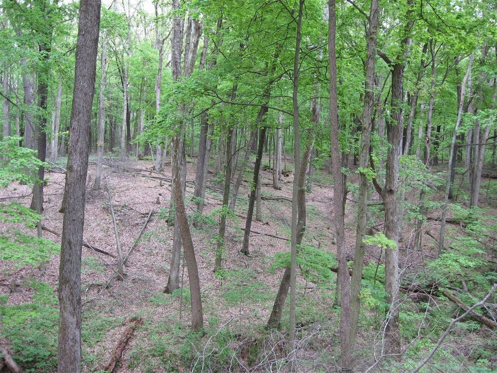
You’ll cross the park road at the top of the hill and stay left at two junctions on the east-side descent before passing a picnic area and playground. A historical marker here explains the history of land ownership in the area, ceded by Native Americans to the United States in 1795. The trail’s last quarter mile dips below the park road briefly and running alongside several wooded ravines back to the trailhead.
-Mapped by Ted Villaire


Trail Facts
- Distance: 2.9
Waypoints
RED001
Location: 38.7370716, -87.8408539
Start at the picnic shelter parking lot and the signed Valley Spring Trail. The trail immediately drops into a maple and mayapple-laden ravine.
RED002
Location: 38.737808, -87.8410256
At the bottom of the ravine, cross the sandy-bottomed creek on a small bridge.
RED003
Location: 38.7385674, -87.8392487
Stay to the left at this (and every other) T-junction along this trail. You’ll begin a gradual climb under a canopy of enormous oaks.
RED004
Location: 38.7409964, -87.8376138
Stay left @ T-junction with the red-blazed trail.
RED005
Location: 38.74185, -87.8359509
At the top of Red Hill, stop at the grassy clearing on your left before crossing the park road. What looks like a radio tower balanced atop a small building (and nondenominational church) is actually a 40-foot neon cross. Religious services have been held on this hilltop since the 1940s.
RED006
Location: 38.7411804, -87.8356705
Stay left @ T-junction to continue this mapped route’s loop.
RED007
Location: 38.7387543, -87.8363953
Bypass the blue-blazed trail junction and, in the springtime, look for wildflowers such as phlox and dwarf dandelion along this section of trail.
RED008
Location: 38.7339745, -87.8369598
After passing through a forest of tall maples and fragrant pines, the trail enters a picnic area. You’ll continue south, crossing the park road and passing a state historic marker explaining local land ownership. The park sits on the boundary of the first land in Illinois ceded by Native Americans to the United States.
RED009
Location: 38.7342339, -87.838913
You’ll cross the park road again at mile 1.5. The park road follows a historic route to St. Louis known as the Cahokia Trace.
RED010
Location: 38.7360757, -87.8396416
The final leg of the trail runs among wooded ravines that branch in different directions. Take the short spur trail to the right for a small overlook of a stream and the network of 60-foot gullies.
Bridge
Location: 38.7377913, -87.8409076
Small wooden bridge in the ravine bottom. Ted Villaire
Views
Location: 38.7424927, -87.8348541
While the hilltop is only 200 feet or so above the surrounding landscape, there are commanding views of the pastoral landscape to the east. © Ted Villaire
Cross
Location: 38.7418584, -87.8358006
Vincennes Tract
Location: 38.7342262, -87.8388262
Ravines
Location: 38.7360916, -87.8395386
Wooded ravines on the final section of trail. Ted Villaire