Indiana Dunes National Lakeshore: West Beach Loop

A hotbed of summer shoreline activity, Indiana Dunes National Lakeshore’s West Beach is the start point for this 3.2-mile loop. Begin by walking through the center of the bathhouse to the beach–bring a lock and stash your swimsuit in the locker room until the end of the hike. The Succession Trail’s boardwalk leads east and then south over a series of dunes. At the base of a long staircase overlooking the parking lot, turn south on the Long Lake Trail. In the summer, look for goldfinches and king birds on the 0.3-mile savanna-like stretch leading to the edge of Long Lake. The trail heads west, skirting the lakeshore and wetland area for 0.4 miles before crossing the park road twice and climbing an oak-covered dune ridge to a lookout. The north-bound portion ends with a short climb and rewards hikers with Lake Michigan views. The only sand dune-climbing opportunity too. It’s a sandy descent back to the parking lot.
Plan ahead: Extend your West Beach trip with a cool dip in Lake Michigan; this is the only area beach with summer lifeguards on duty. Expect a $6 day-use fee mid-May through mid-September.
– Mapped by Ted Villaire


Trail Facts
- Distance: 5.2
Waypoints
WBL001
Location: 41.6216927, -87.209938
Start the hike on the wide, paved path heading toward the beach from the parking lot.
WBL002
Location: 41.6256104, -87.2079315
Pass through the bathhouse to the beach. Turn right and follow the Succession Trail’s boardwalk east.
WBL003
Location: 41.6247101, -87.2046814
The trail turns into an undulating boardwalk for one-third of a mile, climbing up and down a dune and a blowout, a wind-eroded sand depression.
WBL004
Location: 41.623291, -87.2039871
Climb out of the blowout to a dune-top woodland dense with cottonwoods, oak, wild grape, and basswood.
WBL005
Location: 41.6225395, -87.2056122
Descend a long stairway overlooking the parking lot and make an immediate left-hand turn onto the West Beach Trail. This easy-to-miss trail leads to a wide, grassy path between dunes.
WBL006
Location: 41.6185799, -87.2044678
Turn right at the T-junction near the shore of Long Lake to follow the trail west.
WBL007
Location: 41.6185265, -87.2107849
The vegetation changes (again) after the trail crosses the park road for the first time. Watch for prickly pear, milkweed and small sassafras trees growing through the sandy soil.
WBL008
Location: 41.6187439, -87.2118835
Turn left at the T-junction and continue between a steep, wooded dune and a small sand ridge.
WBL009
Location: 41.6140099, -87.2174301
Dipping south of the park road, the trail follows the spine of dune ridge that drops 50 feet on each side. This east-facing overlook offers views of Long Lake’s small, grassy islands.
WBL010
Location: 41.6167145, -87.2189255
Turn right at the T-junction. A thick oak canopy shades this dune-ridge ascent.
WBL011
Location: 41.6203461, -87.2127533
Lake Michigan and the West Beach picnic areas are visible from the top of the loop’s last dune. Descend via the sandy chute or a more gradual trail on the left.
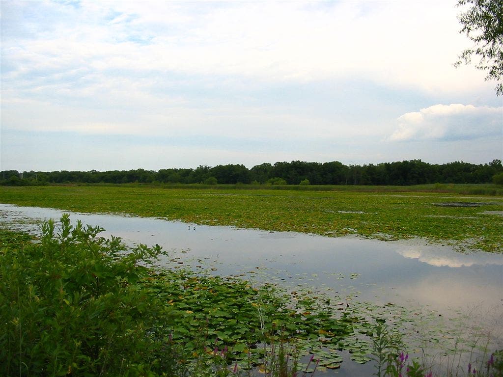
Long Lake
Location: 41.6182671, -87.2052841
Blanketed with lily pads and fringed with cattails, 60-acre Long Lake is prime viewing ground for great blue herons and egrets. © Ted Villaire
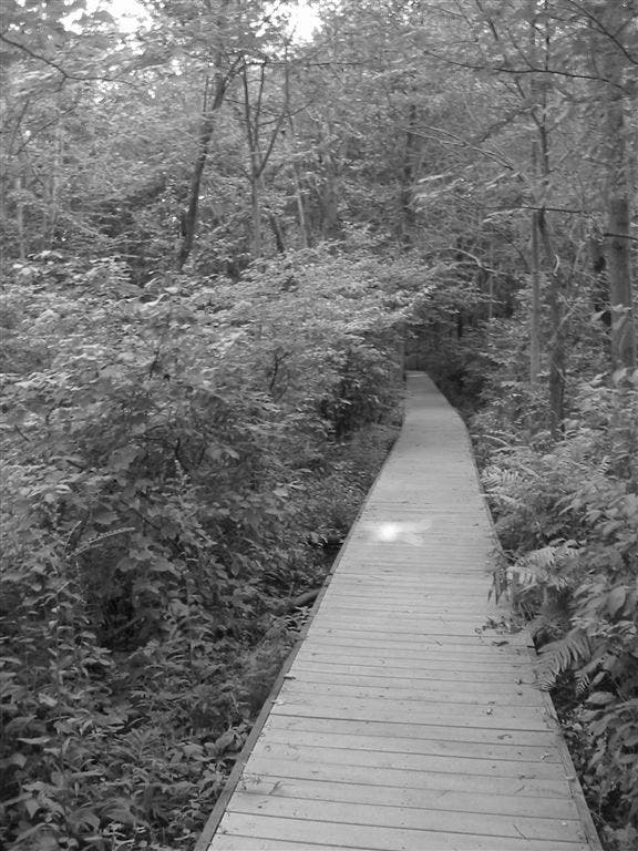
Boardwalk
Location: 41.6244774, -87.2042389
A series of Escher-like walkways winds up and down a series of sand dunes. © Ted Villaire
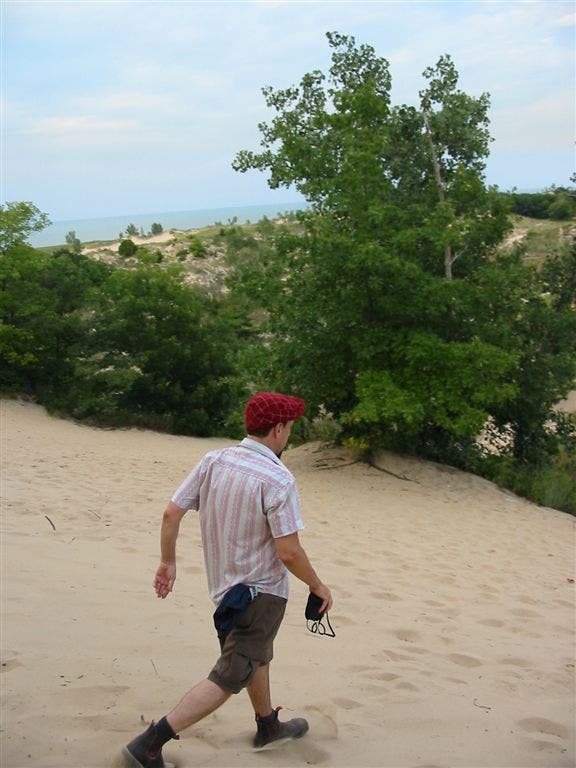
Sandy Descent
Location: 41.6203651, -87.2124176
This steep, sandy descent is some of the only dune-climbing permitted in the park. It’s one of 2 ways to return to covered picnic areas and the parking lot. © Ted Villaire