Indiana Dunes National Lakeshore: Ly-co-ki-we Trail

This 9.7-mile loop in Indiana Dunes National Lakeshore combines a section of the Ly-co-ki-we Trail with a 3.6-mile round-trip on the Dunewood Trace Trail. From the trailhead off US 20, follow the eastern portion of the Ly-co-ki-we Trail through dense oak, sugar maple, and flowering dogwood, heading north into marshy wetlands.
Cruise two sections of boardwalk before turning east amid sandy savannahs and forested dune ridges en route to the Calumet Interpretive Center—look for white-tailed deer in this section during morning and afternoon hours. There’s a short stretch of pavement near the interpretive center, where this route continues east on the sandy surface of the Dunewood Trace trail for a 1.8-mile stretch to the campground.
Retrace the Dunewood Trail through wetlands and bottomland woods, this time skirting the interpretive center via a paved path and branching left on the Ly-co-ki-we’s northern leg near mile 6.7. Loop through familiar dune ridges as the route turns south, skips the 1.2-mile extension trail, and bears east toward a small hill climb just before the trailhead.
Note: The sandy trail surface is harder to walk on than hard-packed dirt, so expect a calf workout if you complete this entire route. To drop mileage, consider cutting back on short connector trails that periodically link the Ly-co-ki-we’s loop.
-Mapped by Ted Villare


Trail Facts
- Distance: 15.6
Waypoints
LCK001
Location: 41.6482883, -87.0150018
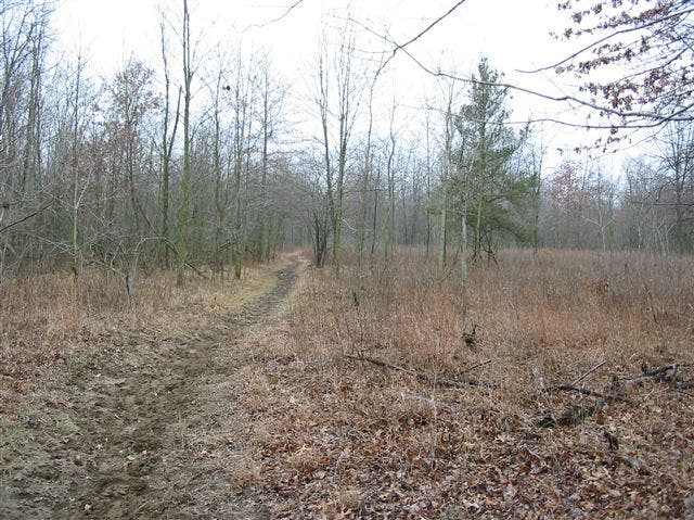
There are restrooms, picnic shelters, a map kiosk and parking (for horse trailers, too) at the Ly-co-ki-we Trailhead. Follow the trail west from the parking lot into a hardwood forest scattered with dead-fall.
LCK002
Location: 41.6475187, -87.0175338
Less than a quarter mile from the trailhead, the trail splits. This route turns right at the Y-junction. Ahead, stay to the right at upcoming junctions, following the easternmost portion of this trail system.
LCK003
Location: 41.6514549, -87.0255482
Nearly a mile from the trailhead, the trail crosses Furnessville Road. Follow the trail to the left alongside lightly rolling wooded dunes. Hike toward a series of wooden boardwalks that lead through the marsh.
LCK004
Location: 41.652457, -87.0309663
Turn right at 3-way junction to continue heading west on the Ly-co-ki-we Trail. If you’re short on time or stamina, you could turn left here and head back to the trailhead.
LCK005
Location: 41.6552547, -87.0287669
On the return trip, you’ll follow the left-hand trail heading west from here, but on the outset, turn right at this T-junction and shadow US 12 for about 200 yards. Up ahead the trail crosses Teale Road and splits again. Follow the trail to the right and stay right at another junction in 0.7 mile.
LCK006
Location: 41.6590061, -87.0128345
Turn right onto the paved section of trail at this 3-way junction near mile 2.5. You could head north for a quick detour to the Calumet Dune Interpretive Center, or continue to the right toward the 1.8-mile-long Dunewood Trace Trail which leads to the National Lakeshore’s Dunewood Campground.
LCK007
Location: 41.6598718, -87.0095944
Cross Kemil Road on the Dunewood Trace Trail. You’ll pass through open sandy areas bordered by hardwoods. Look for earthstar in the sand; the small brownish fungi opens into a star when the air is moist and closes into a ball when it’s dry.
LCK008
Location: 41.6654023, -86.9951427
Turn right onto County Road 375 East, following it 0.1 mile before reconnecting with the sandy trail on the left. In the open savanna, look for the prickly pear cacti (the yellow blossoms appear in mid-summer).
LCK009
Location: 41.6690169, -86.9863987
Pass a series of small ponds and irrigation ditches as you near the road to Dunewood Campground. Hikers can continue toward restrooms in the campground before turning back and retracing your steps to the paved path near the interpretive center. Or, turn this trip into an overnight: 25 of the campground’s 79 sites are walk-in only and all are first-come, first-serve.
LCK010
Location: 41.6599279, -87.0101738
Back at the paved path, turn right and follow the trail past park facilities (including restrooms and water) before branching left onto the dirt path in about 0.25 mile.
LCK011
Location: 41.6597516, -87.0164931
Stay right to bypass the short trail connecting this northern portion of the loop to the southern one you hiked on the route’s outbound leg.
LCK012
Location: 41.6556715, -87.0263422
Stay to the right at 3-way junctions both before and after Teale Road.
LCK013
Location: 41.6515912, -87.0331764
Stay right at the 3-way junction just before crossing Furnessville Road. Wooded dune ridges give way to gently sloping savannas and open sandy areas.
LCK014
Location: 41.6478073, -87.033391
Skip the 1.2-mile Ly-co-ki-we Extension Trail and stay left at this 3-way, but bear right at the junction up ahead (after the county road crossing) to cover new ground for the last 1.2 miles heading back to the trailhead.
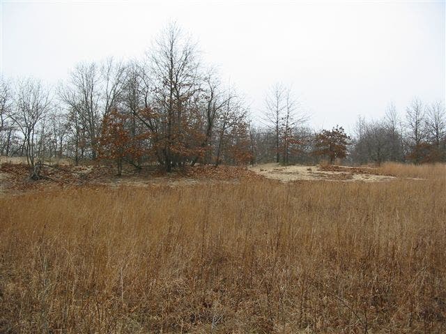
Sand
Location: 41.651944, -87.0288849
Dune Ridge
Location: 41.6574591, -87.0188642
Skirting a large wetland you’ll see dune ridges, like this one, rising from the grassy surrounds.
Pine
Location: 41.6640718, -86.9999492
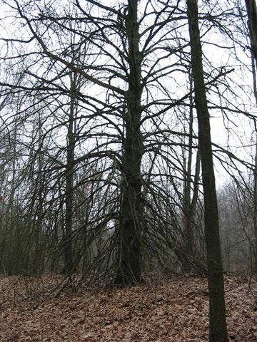
The forested dunes are covered in pine, like this sagging specimen.
Woods
Location: 41.6653863, -86.9963658
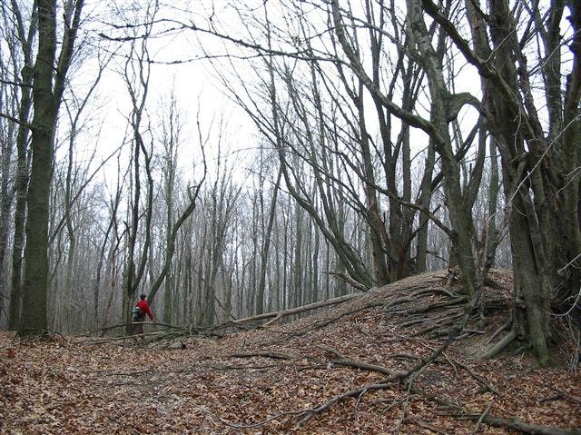
Sections of the Dunewood Trace Trail are densely wooded, like this stretch before North 375.