Indiana Dunes National Lakeshore: Cowles Bog Loop

This 4-mile lollipop loop in Indiana Dunes National Lakeshore pairs sandy shoreline with a botanical tour through Cowles Bog. Named for botanist and ecologist Henry Chandler Cowles who helped protect this dynamic landscape from encroaching industry, this wetland hosts unusually diverse plant populations for the area.
From the busy trailhead on Mineral Springs Road, the route heads west across marshy wetlands toward the park’s western boundary. Turning north, the sandy trail cruises oak forest and progressively newer dunes, climbing a 100-foot mound before descending a grassy expanse bordering the shoreline. Although this sandy stretch draws crowds in the summer, it is typically less busy than easy-access spots in the park including Lake View, Porter, and West beaches. The return route climbs away from the shoreline and dips behind the dunes. Forested marshlands offer welcome shade for the final 1.5-miles of the return trip.
Note: This beach-bound loop is perfect in the summer and during the fall when the dense forest reveals a rainbow of autumn colors.
-Mapped by Ted Villaire


Trail Facts
- Distance: 6.8
Waypoints
CBL001
Location: 41.6452418, -87.0866489
Begin by heading west from the trailhead on Mineral Springs Road. A short way into the hike you’ll pass a plaque honoring the trail’s namesake, Henry Chandler Cowles, a Chicago ecologist who carried out pioneering plant studies at the dunes in the early twentieth century.
CBL002
Location: 41.645354, -87.0902002
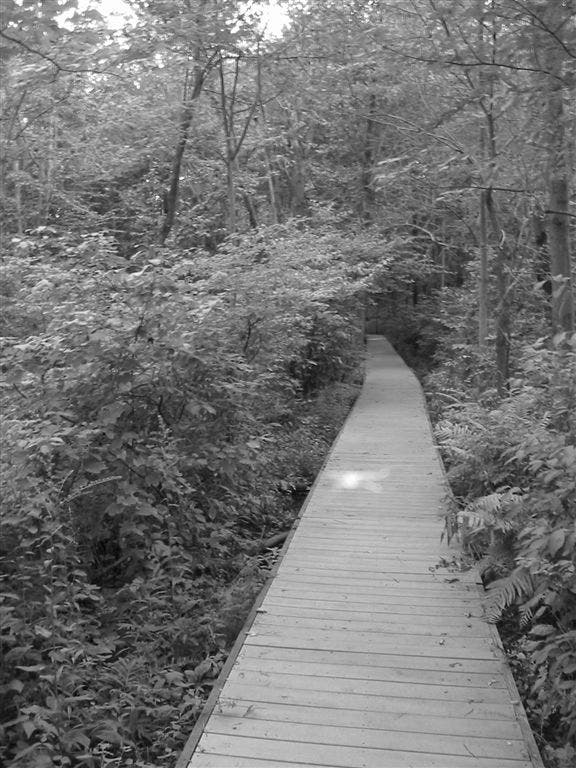
A 200-foot-long boardwalk leads through a lush marshy area. After the boardwalk, the trail continues to skirt the edge of the vast boggy wetland on the left.
CBL003
Location: 41.6409363, -87.1002638
Keep left at 3-way junction. Cattails and sedge grass grow in intermittent marshes on each side of this trail and you’ll catch glimpses of the heavy industry in the area.
CBL004
Location: 41.6375286, -87.1024203
Bear right at 3-way junction. The left-hand trail leads south toward the train tracks and then cuts west to the alternate trailhead at Waypoint 10.
CBL005
Location: 41.6426281, -87.1107996
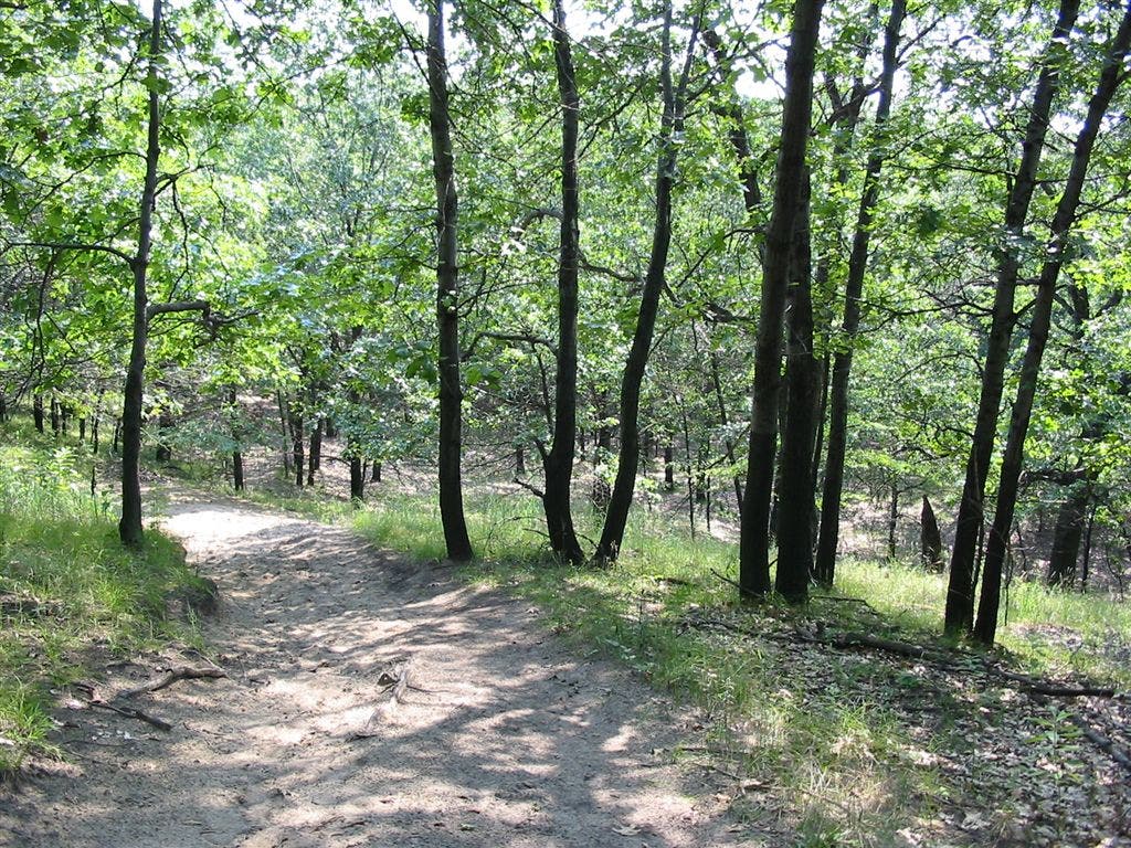
Keep straight at 3-way junction. The oak forest grows thicker and the dunes start to bulge upwards. The terrain ahead changes constantly (the park’s fastest moving dune shifts as many as four feet inland per year).
CBL006
Location: 41.648156, -87.1112689
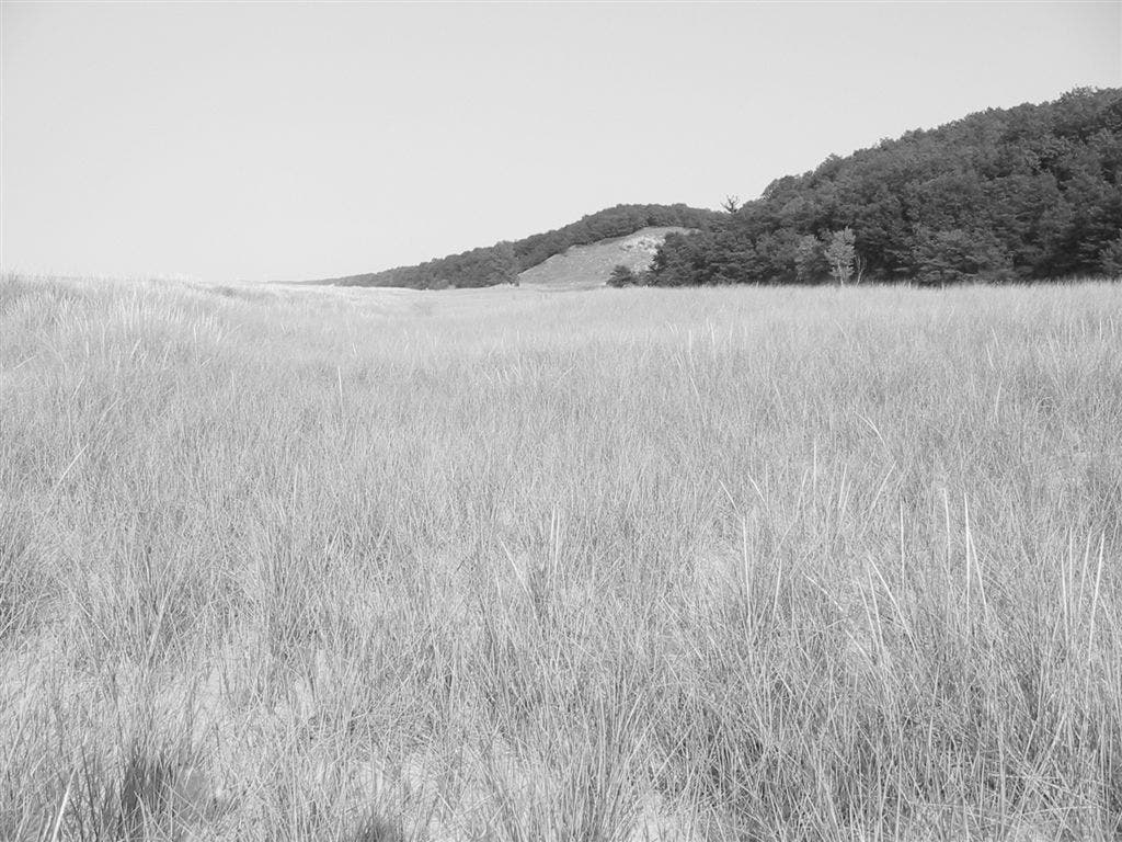
Large swaths of dune grass precede the sandy beach. Turn left for a short northbound walk to the sandy shoreline.
CBL007
Location: 41.6485128, -87.1116579
Break out the sandwiches and the swimsuits. There’s no life guard on duty, or nearby showers, so be alert with children and be prepared for the long, sandy walk back to your car. On a clear day, the skyscrapers of downtown Chicago are visible to the northwest. The large fenced-in area to the right is a nesting site for the endangered piping plover (a whitish sparrow-sized bird with a black breast band). Return to Waypoint 6 and turn left.
CBL008
Location: 41.6483444, -87.1107513
Turn right and drop down the backside of the first dune, the sound of wind and water is immediately hushed by the mounds of sand.
CBL009
Location: 41.6450253, -87.1071517
Bear left at 3-way junction. Ahead: Close the loop at Waypoint 2, then turn left to retrace your steps back to the trailhead.
CBL010
Location: 41.6367107, -87.0869064
If parking at the lot farther north on Mineral Springs is full, this lot also offers access to Cowles Beach along the southeast extension of the mapped trail.
Boardwalk
Location: 41.645354, -87.09005
This boardwalk travels over fragile marshy habitat below. © Ted Villaire
Climb
Location: 41.644873, -87.1135998
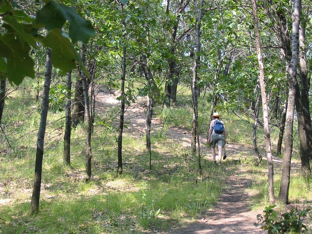
A hiker climbing the sandy trail toward the beach. The soaring dunes near the beach will also up your heart-rate. If it’s a hot summer day, keep in mind there’s a cool, wet reward at the bottom of the last dune. © Ted Villaire
Grass
Location: 41.6480338, -87.1115774
Large swaths of dune grass precede the sandy beach. © Ted Villaire
Plants
Location: 41.6468052, -87.1080852
Amid the stands of black oak and jack pine, look for flora rarely seen in the Chicago region, including the prickly pear cactus (it blooms yellow flowers in midsummer), blueberries, and, closer to the marshes, birch trees and large ferns. The diversity here is one reason Henry Cowles chose it for his plant research. © Ted Villaire