Humpback Mountain

As one might expect, Humpback Mountain’s shape—a smoothly curving ridgeline arching up one side and down the other—inspired The Mountaineers to christen it “Humpback” in reference to the whale. The mountain sits between two long abandoned railroad stations, Bandera and Rockdale, where the old railroad grade still runs along Humpback’s slopes, today carrying hikers and bikers along the Iron Horse Trail.
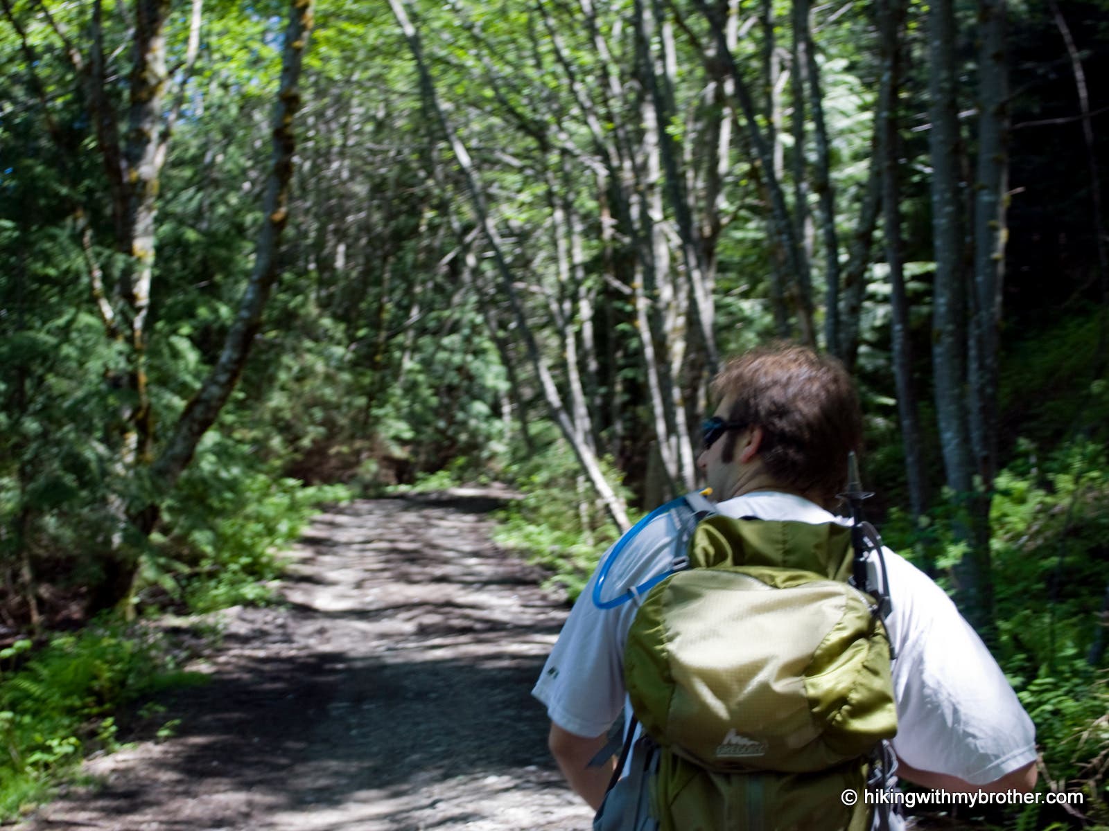
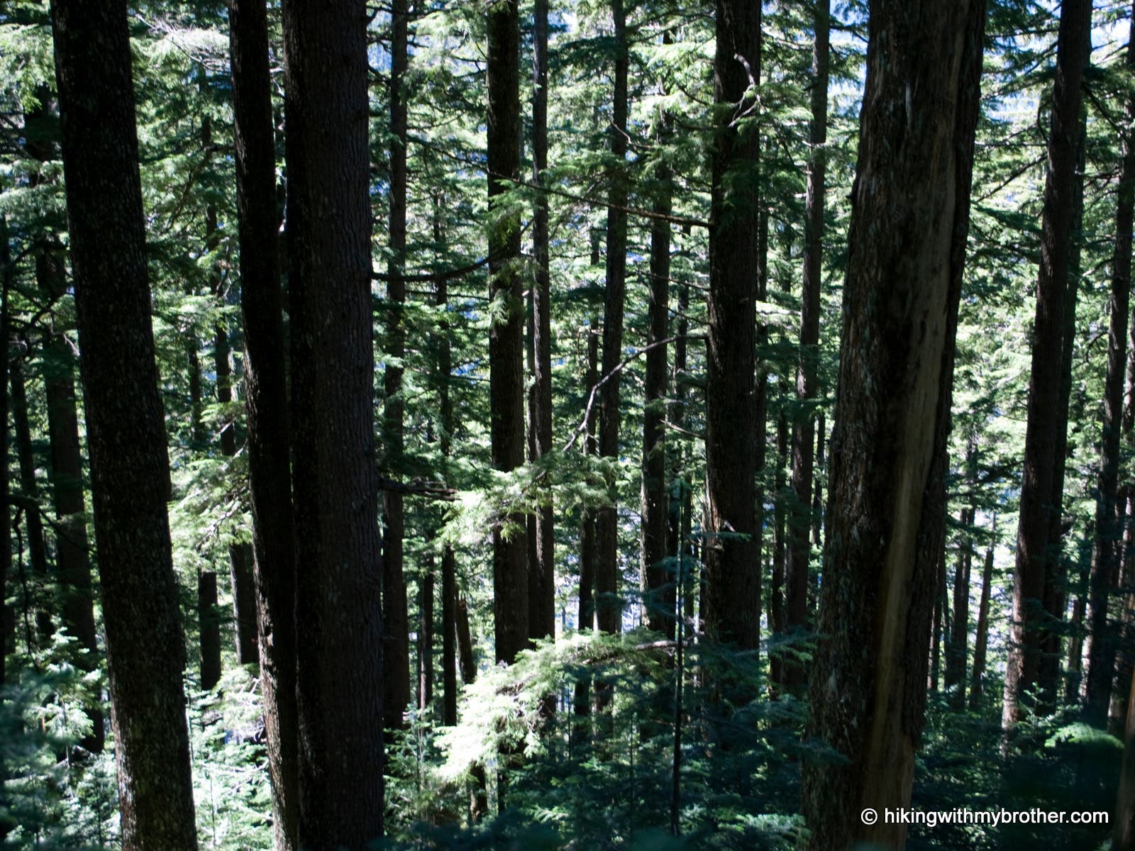
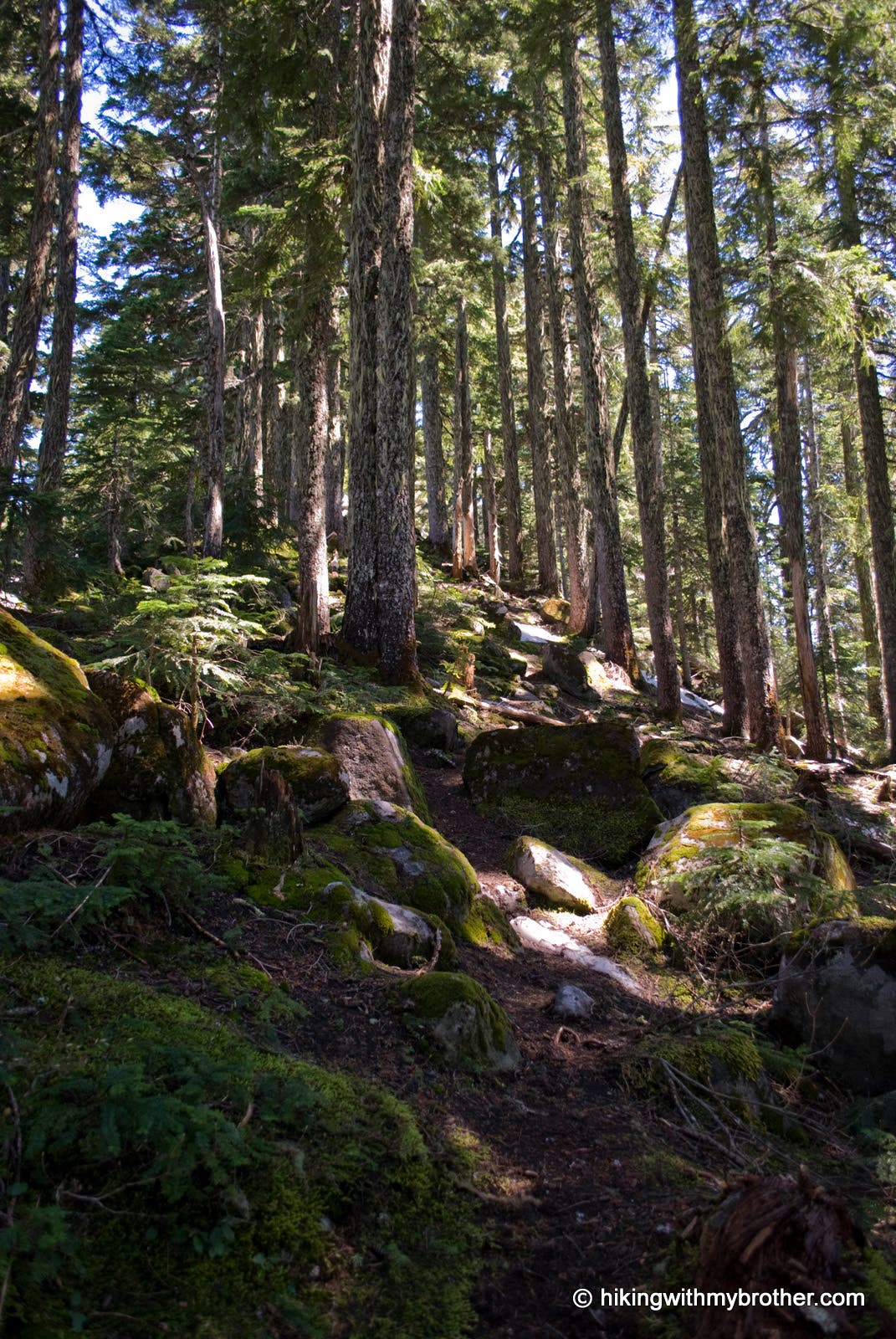
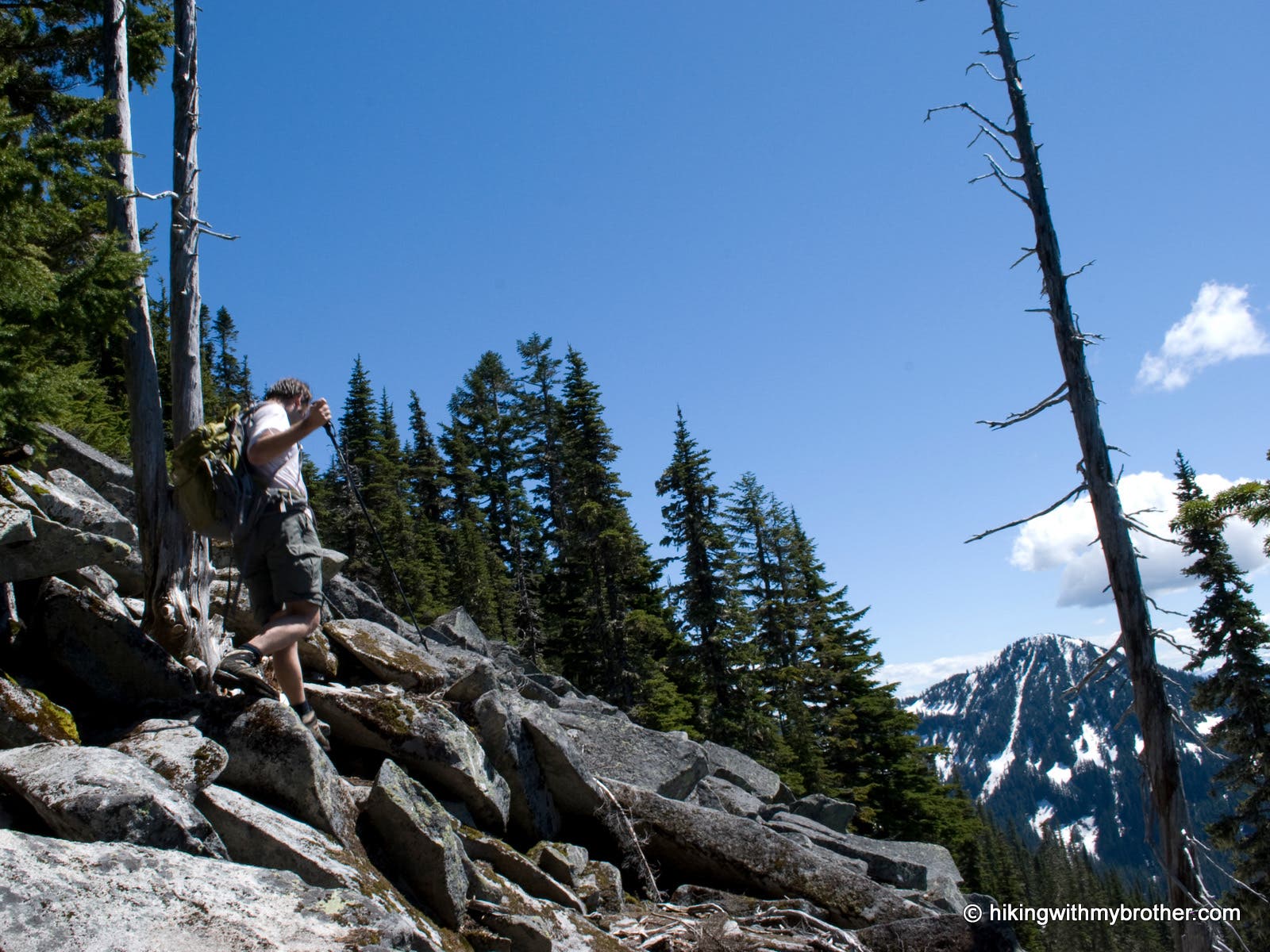
While this is not an officially maintained trail, there is a well-worn path kept up by a few dedicated volunteers. There are no signs are markers indicating an exact trailhead location, so be sure to have your map handy. The workout begins once you start the trail on an abandoned logging road heading north. With little in the way of switchbacks, the path turns to the southeast and climbs straight up the ridgeline through a young forest of hemlock and douglas fir, eventually transitioning into older growth. As you near the top, a few plateaus temper the upward march before the trees thin and talus begins. Take care navigating the rocks and boulders on the final push to the top.
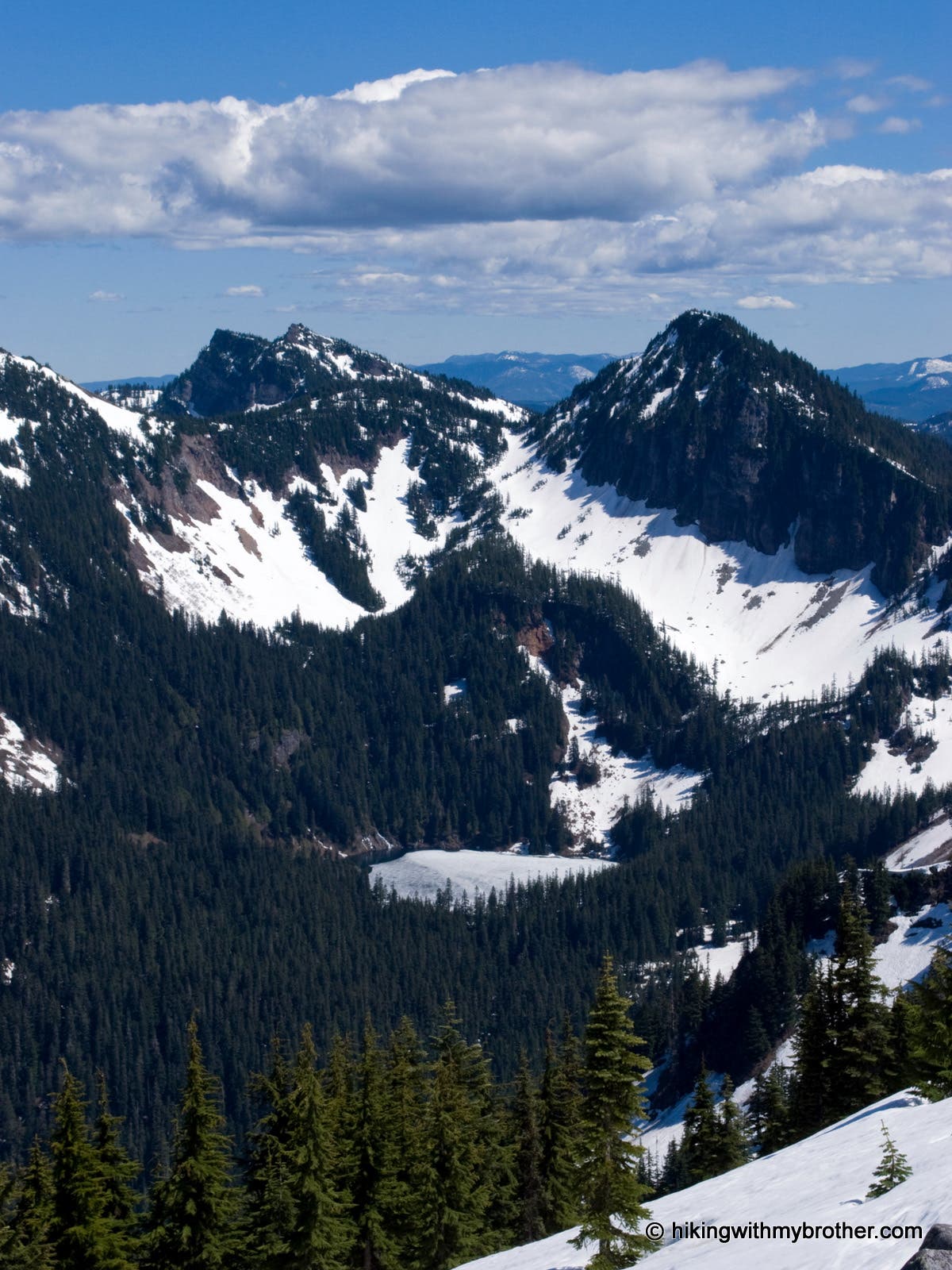
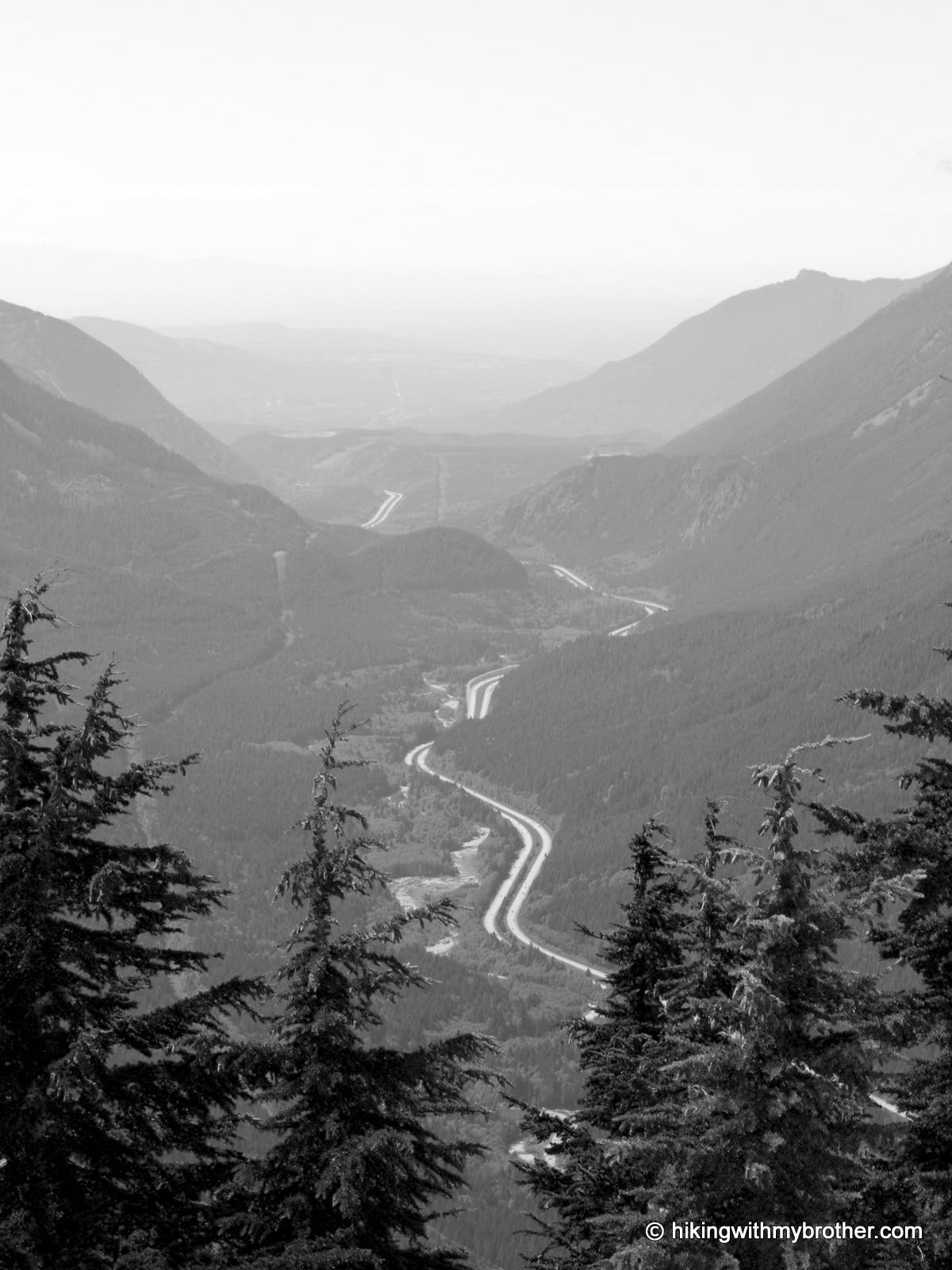
On bluebird days, 360º views stretch out from Humpback’s rocky summit. To the north, across I-90 are Granite and Bandera Peaks, with the distinctive tooth of Kaleetan Peak rising behind. Immediately east, Silver Peak and Abiel Peak surround Annette Lake and take up most of the skyline. To the south, a vast sea of forest stretches to the base of Mt. Rainier, while Humpback’s western neighbor, Little St. Helens sits above the Snoqualmie Valley.
Mapped by Nathan & Jeremy Barnes Hiking With My Brother

Trail Facts
- Distance: 3.2
Waypoints
HMP001
Location: 47.378571, -121.516112
At the steep bend in FR5510, an abandoned road continues straight ahead. Grab your gear and head up the abandoned road!
HMP002
Location: 47.383965, -121.516468
Stratified rocks are exposed at this location and make a dramatic contrast to the surrounding landscape of second-growth forest.
HMP003
Location: 47.385164, -121.515274
Junction with a hiking trail leading down the mountain. This trail is used when road 5510 is closed. Continue straight ahead on the road.
HMP004
Location: 47.38486, -121.513789
Junction with trail up the ridge of the mountain, turn right and uphill. Look for an area of torn up dirt on your right.
HMP005
Location: 47.383434, -121.513796
Under the canopy of forest, a lone yellow and brown sign marks the crossing over into the National Forest.
HMP006
Location: 47.382124, -121.511544
Crossing of another abandoned forest road. Continue going straight up the hill, the path is almost directly across the road.
HMP007
Location: 47.376948, -121.500736
The trail levels here; take a short break from the steep accent and stretch your legs.
HMP008
Location: 47.373673, -121.495496
The 5174′ summit of Humpback Mountain. Vistas of Snoqualmie Valley abound! Annette Lake and Silver Peak are southeast, Granite and Bandara mountains are directly north, and the rocky horn of McClellan Butte juts out to the west.
Forest Road
Location: 47.381614, -121.515956
Wood Stands
Location: 47.380336, -121.507115
Ridge Trail
Location: 47.378069, -121.502309
Boulders
Location: 47.375512, -121.498833
Annette Lake
Location: 47.373419, -121.495357
I-90 Corridor
Location: 47.373535, -121.496043
Summit Pano
Location: 47.373361, -121.495442