Houston: Four C Trail


Trail Facts
- Distance: 21.5
- Miles from city center: 135
Waypoints
FCT001
Location: 31.4487361907959, -95.1201171875
Head N on white-blazed trail from CR 1170
FCT002
Location: 31.4641857147217, -95.1252059936524
Cross FR 519 into Big Slough Wilderness Area, untouched by loggers since 1968. Tip: Wear blaze orange Nov. to Jan.
FCT003
Location: 31.4697036743164, -95.1202239990234
Trail follows overgrown RR bed, used by the Central Coal and Coke Co. (aka Four C) to haul lumber 85 years ago
FCT004
Location: 31.4805183410644, -95.1227493286133
Trail follows overgrown RR bed, used by the Central Coal and Coke Co. (aka Four C) to haul lumber 85 years ago
FCT005
Location: 31.4795303344727, -95.1429061889648
Continue straight across FR 511
FCT006
Location: 31.47971534729, -95.1534957885742
Take a load off at Walnut Creek Shelter; tent pads good for overnights
FCT007
Location: 31.4880790710449, -95.1660995483398
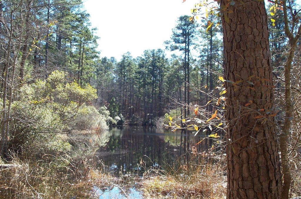
Cross Walnut Creek. Primitive campsite near man made pond in .8 mi.
FCT008
Location: 31.5220241546631, -95.1602630615234
Cross Walnut Creek. Primitive campsite near man made pond in .8 mi.
FCT009
Location: 31.5522975921631, -95.1506042480469
L @ T onto gravel road; go to the base of Neches Bluff
FCT010
Location: 31.5690326690674, -95.1532211303711
L @ Y back onto trail. Short climb ahead
FCT011
Location: 31.5671997070312, -95.1631164550781
Overlook: Faint hills rise above water-carved flats of the Neches River Valley. Pick up shuttle car or retrace steps back. Bonus: For a longer, 19.7-mi. option starting at Ratcliff Lake, go to backpacker.com/hikes
Unnamed Pond
Location: 31.5306701660156, -95.1610870361328
©Charlie Williams