Updated July 7, 2025 06:37PM
Get Wet in Georgia's Cohutta Wilderness
It's water, water everywhere in this green forest.
'Ryan Wamsley'
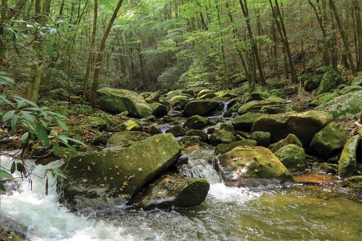
Cold water droplets splash up and around me as I ford the refreshing Conasauga River for the umpteenth time. I stop for a quick break on a boulder in the middle of the brisk current, and think ahead to my destination: a camp above the 70-foot Panther Creek Waterfall. If I hurry, I will be able to enjoy some well-deserved solitude there before dark. But then again, what’s the rush? When I’m out in scenery like this, the only speed I need is slow.
Turn-by-turn From the Chestnut Lead Trailhead on FS 68
1) Follow the Chestnut Lead Trail for 2.1 miles then turn left onto the Conasauga River Trail.
2) After 3.8 miles and 16 fords of the Conasauga River, follow signs to the right for the Panther Creek Trail.
3) Cross the Conasauga for the 17th time and look for the Panther Creek Trail on the south side (hiker’s right) of Panther Creek.
4) Follow the Panther Creek Trail, crossing the creek multiple times, for 1.5 miles to the base of a 70-foot waterfall. Angle away to the left, climb a bluff, and find your campsite.
5) Next day, return to the Panther Creek and Conasauga River Trails, and cross the river for the 18th time.
6) A half-mile later, cross Tearbritches Creek, and turn left onto the unsigned Tearbritches Trail.
7) Hike 3.5 miles south on Tearbritches Trail to FS 68.
8) Turn left onto FS 68 and walk west for 1.5 miles to your car.
ADVERTISEMENT
Campsite: Panther Creek Falls
There are half a dozen campsites at mile 7.1 (first-come, first-serve) for the taking above the falls, clustered amidst large boulders and fragrant old-growth Eastern hemlocks. If you can nab the spot right above the falls, you’ll score the best view. Otherwise, hike a few hundred feet more for a larger site with fewer boulders.
Trip Options
Extend your trip 14 miles by starting and ending at the southern terminus of the 7-mile-long Emery Creek Trail. This trail travels north past two waterfalls before climbing Little Bald Mountain to a primitive camp at Ball Field. The break in the tree canopy there is perfect for stargazing.
Wet Feet
This trip fords the Conasauga River 18 times and there are no bridges, so expect to get wet. Use trekking poles or sticks for balance and bring dry footwear and socks for camp. After hiking .3 mile on Tearbritches Trail the second day, you can safely put on dry footwear. Caution: The river can become dangerous after heavy rains.
ADVERTISEMENT
DO IT Trailhead 34.8536, -84.6157; on FS 68 (Conasauga Lake Road) Permit None Season Late spring to late fall; the road to the trailhead closes from January 1 through early March.