Hiking Switzerland's Via Alpina: Adelboden to Kandersteg

Location – 46.491121°, 7.563626° After coffee and quiche in the small but stylish village of Adelboden, we trekked east toward Kandersteg, gaining elevation quickly. Here, we look back at the village.
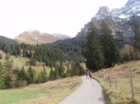
JPG Location – 46.486573°, 7.585143° Our hike out of Adelboden linked narrow country lanes to trails, passing several farms and houses.
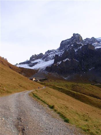
Location – 46.490136°, 7.601748° Our last stretch of road before turning onto a trail leading to the pass, just pass the Berghaus Bonderalp, a dorm-style hut, open from June through September.
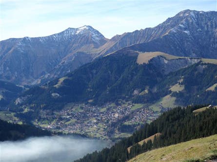
Location – 46.488239°, 7.604579° Looking back on Adelboden, an alpine village of about 4,000 people.
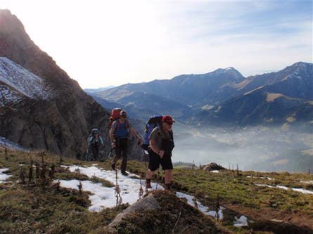
Location – 46.485115°, 7.614529° Steve Howe, Shannon Davis, and Kelly Bastone hiking the Via Alpina between the village of Adelboden and 7,825-foot Bunderschrinde pass.
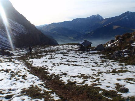
Location- 46.484982°, 7.616614° Steve Howe hits the snowline, at about 6,000 feet, about 1.5 hours outside of Adelboden.
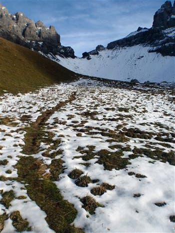
Location- 46.484982°, 7.616614° See that narrow gap on the horizon? It’s our first view of the Bunderchrinde, the third highest pass on the Via Alpina.
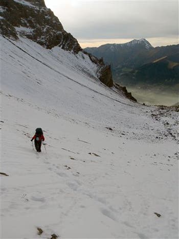
Location – 46.482386°, 7.624595° Kelly Bastone inches closer to the pass as we begin to lose daylight.
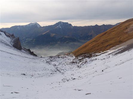
Location – 46.482365°, 7.624616° Looking back on Adelboden, and a barely perceptible lone hiker, from just below the pass.
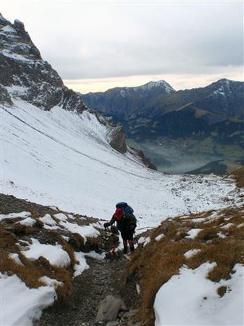
Location – 46.482583°, 7.626285° Steve Howe digs in for the last few steps to the pass.
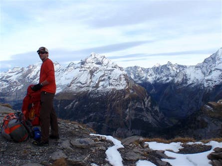
Location – 46.482360°, 7.625995° Shannon Davis reaches the rocky 7,825-foot pass after a four-hour climb from Adelboden at 4,449 feet.
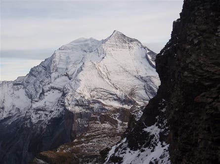
Location – 46.482417°, 7.626070° Looking southwest from the pass. We didn’t stay long, since we had a three-hour descent to Kandersteg and dwindling sunlight.
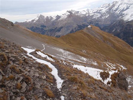
Location – 46.482530°, 7.626218° The west side of Bunderchrinde pass gets afternoon sun and has much less snow.
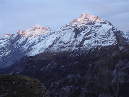
Location – 46.478372°, 7.631484° The last bit of daylight glows on the mountain tops as we descend toward Kandersteg.