Heading out the door? Read this article on the new Outside+ app available now on iOS devices for members! Download the app.
West Virginia Route 150 climbs north from Cranberry Glades and crests the top of a mountain at the North South Trailhead, but from there it’s a scenic roller coaster for 43 miles along the tops of mountains as high as 4,500 feet. Numerous pullouts along the Highland Scenic Highway offer car-side vantages down into the surrounding valleys and towns as the paved, wide road winds to US 219.
From there, the drive to the Otter Creek Wilderness is just as exciting, dropping quickly up and down smaller hills and switchbacking through valleys and gorges—As much as you’ll want to hold on tight, you’ll want to slow down to take in the scenery.
Backpacking Shavers Mountain
Anyone looking for a picturesque roadside campsite will appreciate pulling off Sully Road in Parsons and setting up shop in a beautiful spot next to the cold and clear Cheat River. The campsite serves as a perfect basecamp for the Mylius Trailhead just across the road—The starting point for a trip into the almost 21,000-acre Otter Creek Wilderness.
The wilderness is centered around north-flowing Otter Creek, deep in a valley and cut off by high plateaus as it flows into the Cheat. On the East side, Shavers Mountain blocks easy access from the Mylius Trailhead, but a breezy hike to the top can get you into the valley itself. For those short on time, even a trip to spend the night on top is worthwhile.

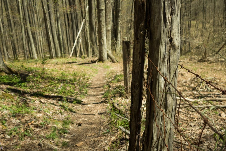
From the Mylius Trailhead, the trail weaves uphill through open stands of hardwoods until the grade steepens. From there it begins to sidehill north, contouring around a few drainages at first, then bee-lining up the grade along a narrow dirt path that falls away downhill on the right. At over 3,100 feet, a four-way intersection in a col can take you directly to Otter Creek, but turning right will lead to a quiet stroll along the long ridgeline of Shavers Mountain after a short final climb.
Walking the ridgecrest is a smorgasbord for the mountaintop camper. As the trail easily rolls north, it passes through a handful of openings and clearings perfect for setting up on or off the trail. While the top is forested the entire way, a short walk east and the contours begin to fall away, affording views through the trees down into the Glady and Laurel Forks.
Deciding to take in as much of the ridgeline as possible, I followed it to its end, 4 miles from my car to where a spring bubbles up directly on the trail (otherwise, water is limited up high) and found a nearby campsite off the trail where I watched the mountains to the east glow as the sun set on the other side.
–
