Hartford, CT: Mohawk Trail

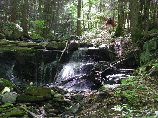
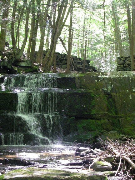
After stashing a car near the eastern end of the trail, shuttle a few miles west and walk up the ominously-named Dark Entry Road for 0.6 mile where the Coltsfoot Mountain section of the Mohawk Trail disappears into the woods. The trail continues to climb at a moderate pace as it runs across, and then alongside, a small forest stream.
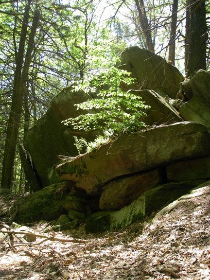
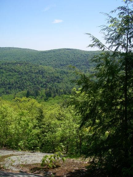
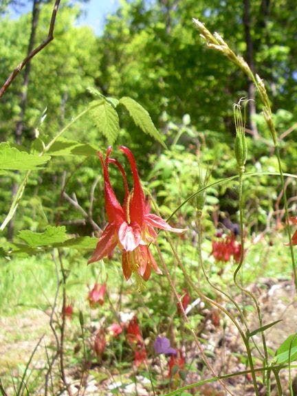
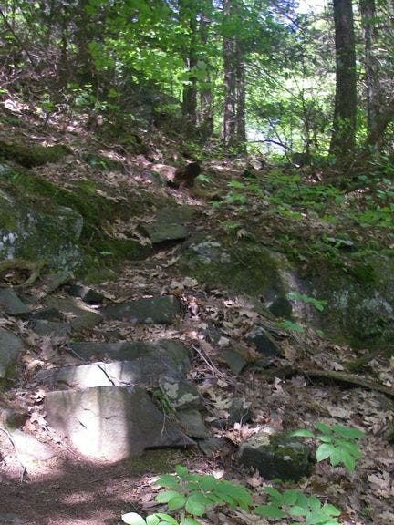
Leaving this cascading brook behind, the hike continues toward an overlook on Coltsfoot that peers east to Mohawk Mountain. Continue north from the overlook passing oddly-shaped boulders (perfect picnic spots) and scattered wildflower stashes. The trail descends Coltsfoot on a short stretch of steep, rocky terrain before leveling out for 0.6 mile before joining the road. With plenty of chipmunks and birds for company along the way, this trip is a Connecticut classic.
Note: This trail may be closed October 22nd through November 5th.
-Mapped by Genny Fullerton
TO TRAILHEAD: Western Trail Parking in Cornwall Bridge, CT: Travel east on Route 4 from the intersection of Route 4 and Route 7. The parking area will be on the right side of the road within a couple hundred feet.
Eastern Trail Parking in Cornwall, CT: From the intersection of Route 4 and Route 7, travel east roughly 3 miles. Turn right onto Jewell Street and immediately bear right. Jewell Street turns right and becomes Valley Road. Bear left onto Essex Hill Road. Park at Cathedral Pines on the left.
Trail Facts
- Distance: 8.8
Waypoints
MHK001
Location: 41.8185844, -73.3682861
Western Trail: After stashing a vehicle at the east end of the trail, park on the south side of the road (just east of the Route 4 and Route 7 intersection). Walk back towards Route 7, bearing left as the road forks and making a left onto Dark Entry Road. The trail’s first blue blaze is about 0.6 mile up the road.
MHK002
Location: 41.8128471, -73.3652115
Leave the road and bear left into the woods. Follow the trail to the southeast.
MHK003
Location: 41.8098946, -73.3635101
Cross a small brook and head upstream. Blazes are a little spread out in this area and hard to see. Just keep the stream close by on your left. Ahead: Pass several cascades.
MHK004
Location: 41.8079567, -73.3571548
Veer left, crossing over to the other side of the stream. Leave the stream behind you as you hike northeast.
MHK005
Location: 41.8096657, -73.3564301
Cross another little stream. Here the trail levels out for a stretch.
MHK006
Location: 41.8115845, -73.3536148
Another little stream crossing. Next, follow the trail to the east.
MHK007
Location: 41.8110428, -73.3490753
Trail descends slightly. Prepare for the climb up Coltsfoot Mountain. Continue on the trail around some big boulders.
MHK008
Location: 41.8160477, -73.3459778
Coltsfoot Overlook: Check out big views to the east. Mohawk Mountain has a barely visible tower on top.
MHK009
Location: 41.8310242, -73.3409042
The descent of Coltsfoot Mountain begins gradually before heading down a steep rocky section 0.3 mile down the trail.
MHK010
Location: 41.8345528, -73.3373032
The trail swings southeast and starts down a steep section with a smattering of rock steps.
MHK011
Location: 41.8331833, -73.3356018
This is the end of the steep section. Enjoy the last little bit of hiking through the woods as the trail heads north on level terrain.
MHK012
Location: 41.8404655, -73.3342514
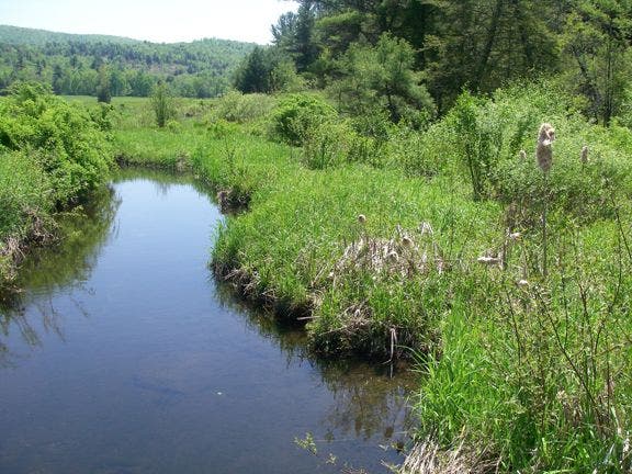
Cross a small bridge. Keep an eye out for herons.
MHK013
Location: 41.8417435, -73.3345642
The wetland brush opens up into what looks like someone’s back yard. Head left and continue following blazes up toward the road.
MHK014
Location: 41.8424683, -73.3339386
At the road, turn right and walk 0.6-mile to the parking area at Cathedral Pines.
MHK015
Location: 41.8364105, -73.3271866
Pick up your shuttle car at the Eastern Trail parking at Cathedral Pines.
Cascading Brook
Location: 41.809433, -73.3630753
Trickle
Location: 41.8091354, -73.3620911
Boulders
Location: 41.8122063, -73.3487625
Overlook
Location: 41.8160286, -73.3459854
Looking east to Mohawk Mountain
Wildflowers
Location: 41.8285179, -73.3421936
Rock Steps
Location: 41.8342699, -73.3372164
Marsh Pool
Location: 41.8409996, -73.3343353