Harrisburg, PA: Sunset Rocks via Appalachian Trail

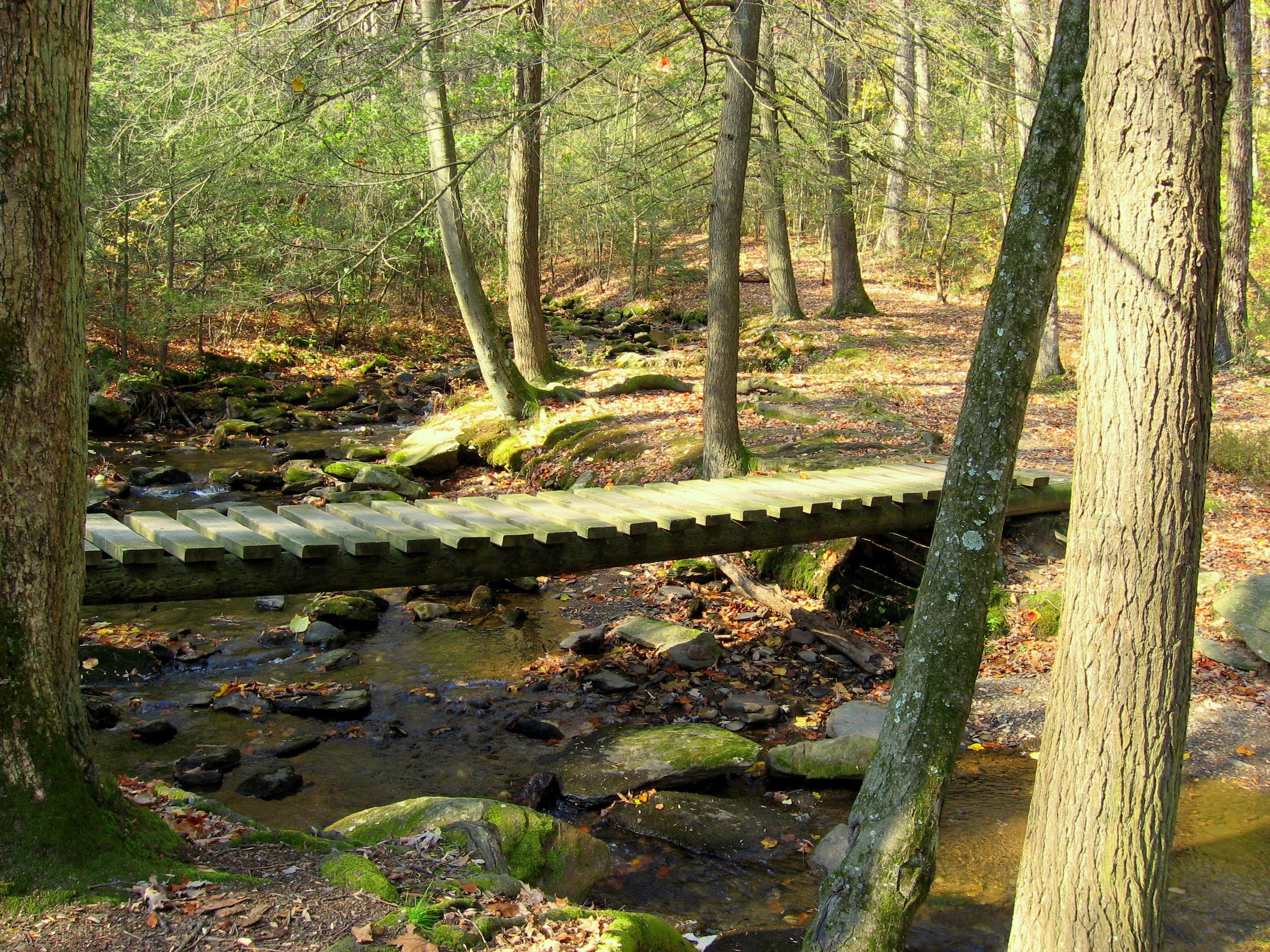
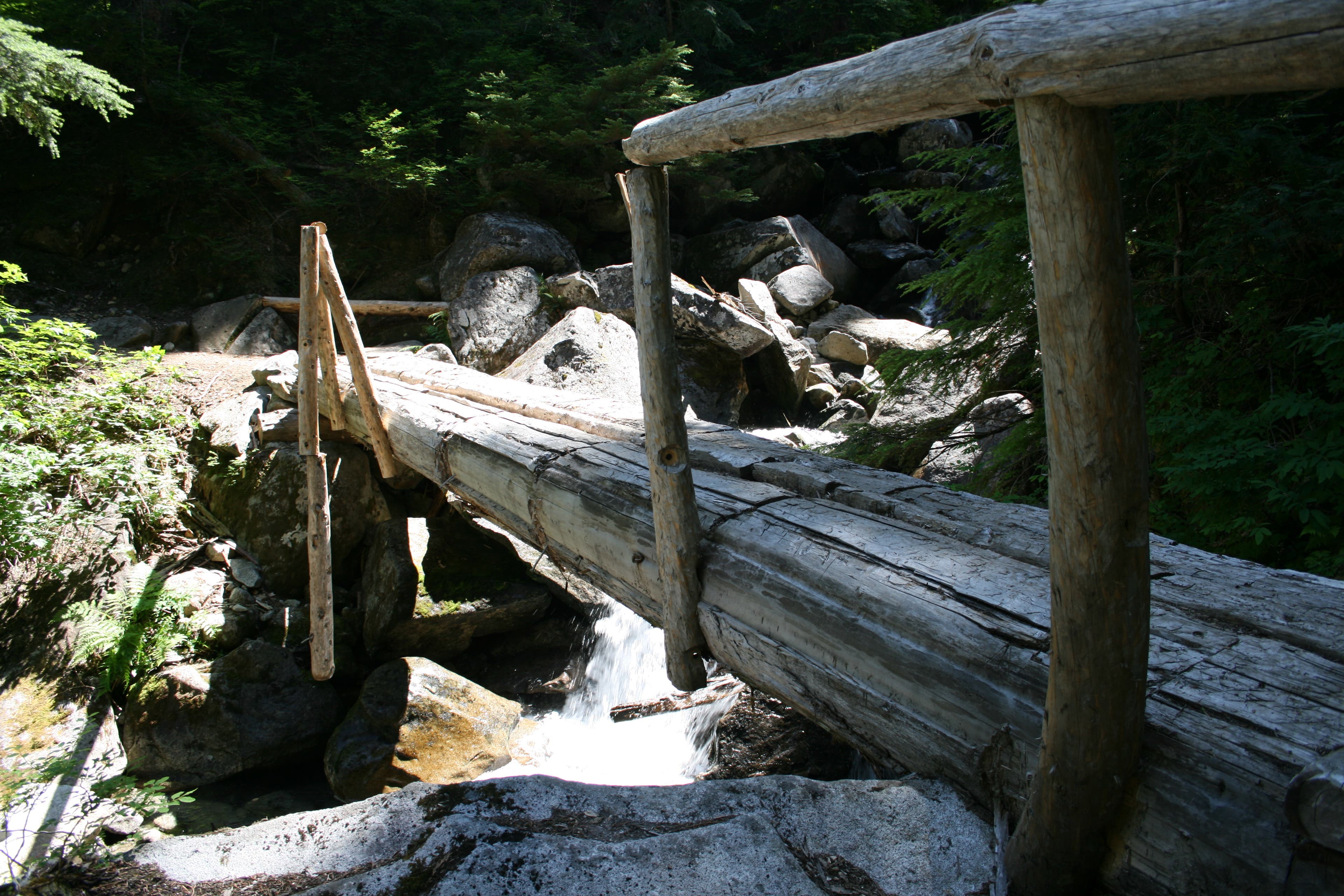
Beginning at the Pine Grove Furnace State Park general store (site of the Appalachian Trail halfway point—and the half-gallon ice cream challenge for thru-hikers), this 7.4-mile lollipop sets off on the AT to explore forested trails, boulder scrambles, and mountain vistas of Michaux State Forest. After crossing Tom’s Run creek for the first time on a narrow log bridge (at mile 1.7), the AT joins up with forest roads for one mile before heading back into the woods and looping south to Tom’s Run shelter area (mile 4).
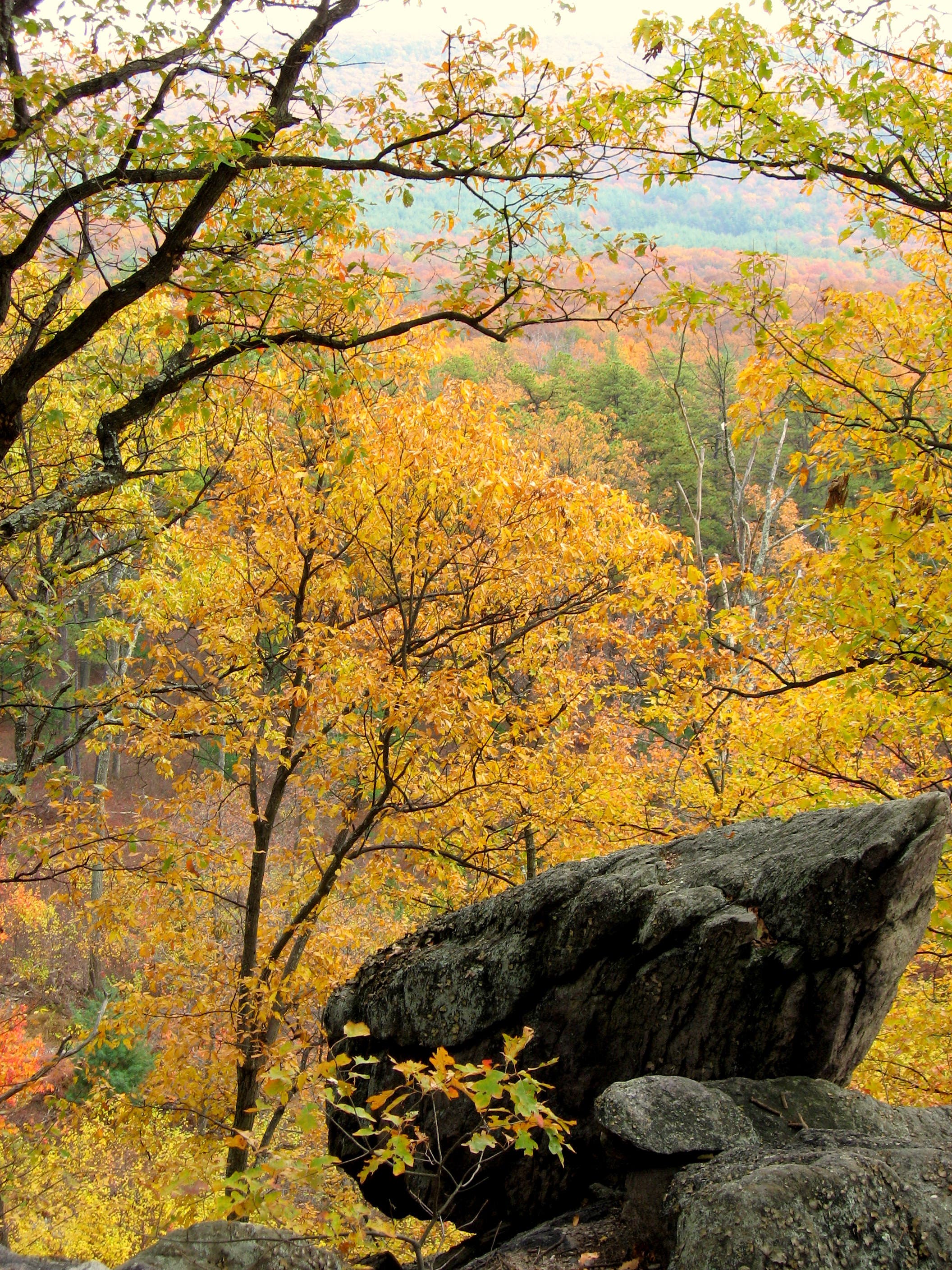
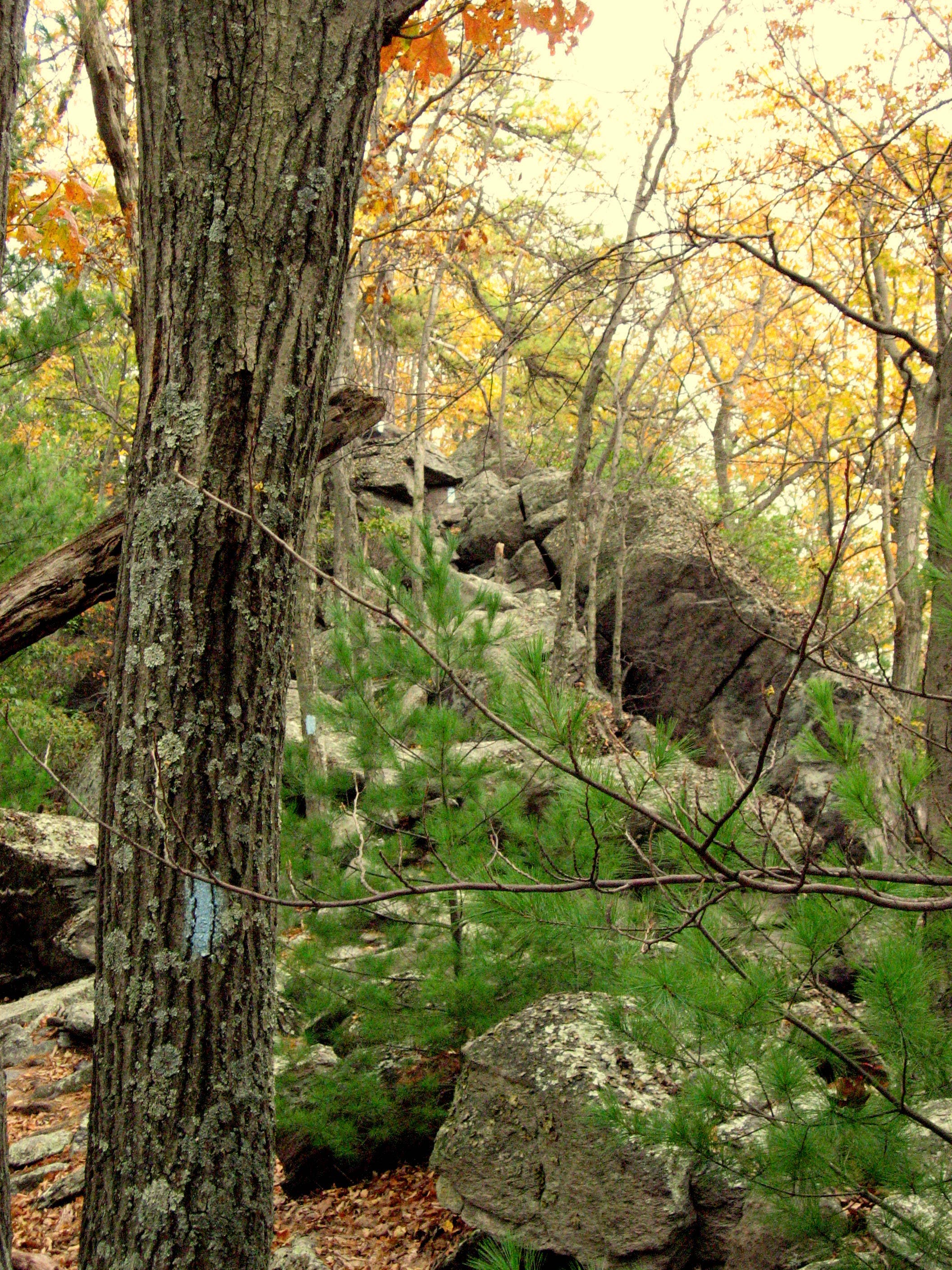
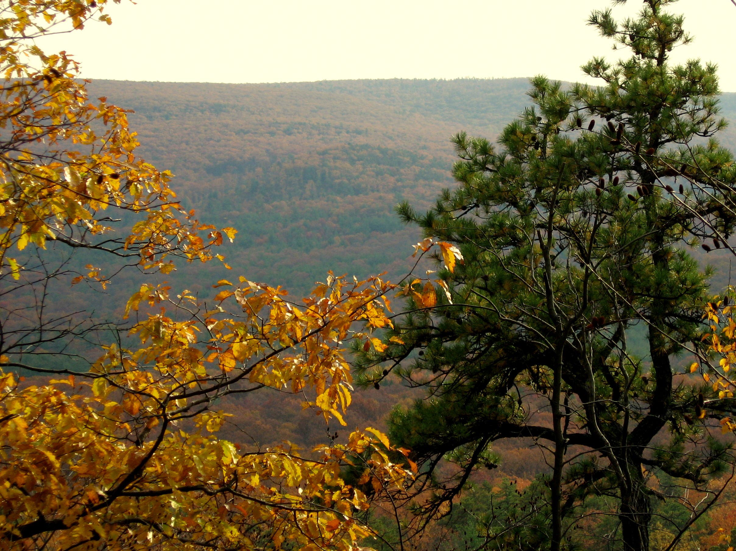
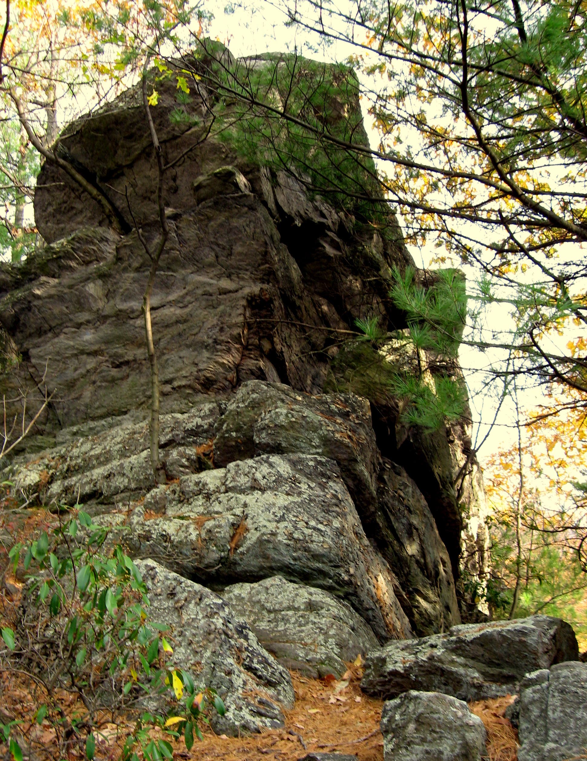
Just past the shelters, the route turns off the AT (which continues south), heading east on the signed Sunset Rocks Trail. After a southward jog on the Michaux forest road, the trail turns up the spine of Little Rocky Ridge, following blue blazes that hop intermittently from trees to boulders. This strenuous stretch of trail features several boulder scrambles, affording a handful of above-the-trees vistas along the way—although the climb is not technical, it’s not well-suited for dogs or small children. The payoff vista at the Sunset Rocks summit is just past the turn-off towards the AT. Enjoy the South Mountain views before managing the steep descent back to the AT and ice cream rewards at the general store—you might not be thru-hiking the AT, but you’ve earned it nonetheless.
-Mapped by Miranda Crotsley

Trail Facts
- Distance: 11.9
Waypoints
SNR001
Location: 40.0324472, -77.306509
Start your trek on a gravel stretch of the Appalachian Trail that leaves from the parking area of the general store at Pine Grove Furnace State Park. Halfway between Georgia and Maine, hikers often stop here to gorge on ice cream.
SNR002
Location: 40.0311558, -77.3120261
Cross PA 233.
SSN003
Location: 40.0344411, -77.3200929
Trail turns down the hill and becomes a little rockier. On the return trip, this is one of the final climbs.
SNR004
Location: 40.0376735, -77.3231345
Stay left (on the return trip, bear right. Just ahead, the trail wanders near a dirt forest road.
SNR005
Location: 40.038573, -77.3258811
Passing the Sunset Rocks Trail, stay right at this 3-way intersection on the AT.
SNR006
Location: 40.0386715, -77.3260045
Cross the bridge over Tom’s Run, continue stay straight a short distance, and then bear left to join the forest road. This route continues on forest road for the next mile or so.
SNR007
Location: 40.0385401, -77.3276246
A small sign directs to a short detour left of the trail and over the hill to a nearby spring (and nice views of Tom’s Run).
SNR008
Location: 40.0380599, -77.3296464
Continue straight where the forest road splits off to the right.
SNR009
Location: 40.037464, -77.3376882
The road/trail cuts through a parking area here, and just after, this route turns right, heading uphill on Michaux Road. There are remnants of a Civilian Conservation Corps camp in this area, and there was once a WWII detention facility here as well.
SNR010
Location: 40.0406265, -77.3416793
Turn left back into the woods to continue on the AT. There is a small parking area for a few cars. From here the trail is flat, wide, and smooth until the Tom’s Run Shelter area.
SNR011
Location: 40.0357719, -77.3569357
In this area, the trail crosses some intermittent streams and springs; you’re likely to get your boots a little wet, especially in the spring and fall.
SNR012
Location: 40.03394, -77.3569894
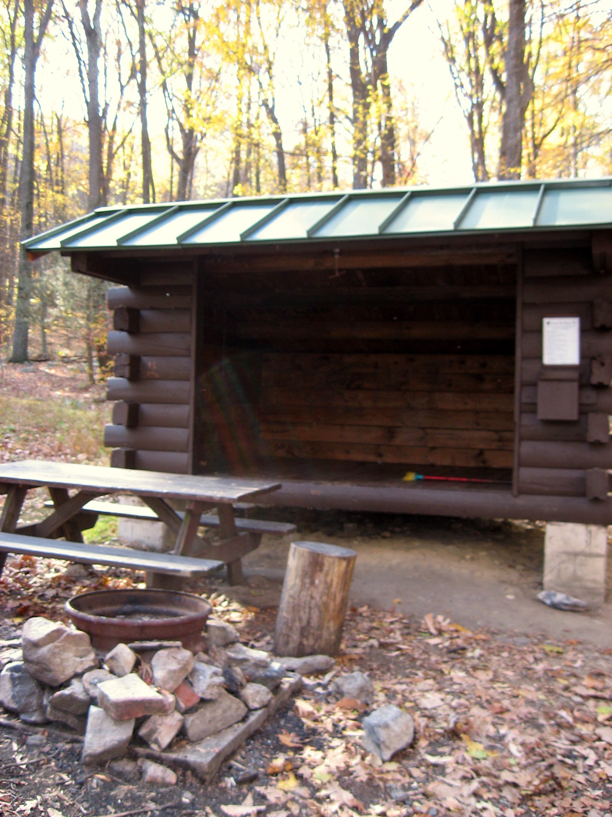
Take a break for lunch at the Tom’s Run shelter area; there’s a privy, two shelters, and several picnic tables.
SNR013
Location: 40.0331678, -77.356292
Turn left onto the Sunset Rocks Trail just after crossing Tom’s Run. Follow the blue blazes along the somewhat rocky and wooded trail. Just ahead, the trail opens up into a nice meadow before ducking back into the woods (on the right).
SNR014
Location: 40.0339565, -77.3379672
Turn right for a brief southward jog on Michaux Road. The Sunset Rocks Trail continues about 0.3 mile ahead on the left.
SNR015
Location: 40.0311074, -77.3353937
Turn left heading back into the woods as the route starts heading for the trail’s namesake, Sunset Rocks.
SNR016
Location: 40.0330942, -77.3323437
At the top of the hill, the trail reveals its first vista through the trees. From here there is considerable scrambling over and around boulders. Exercise caution and good judgment, and keep an eye out for the blue blazes ahead as they begin alternating randomly between trees and rocks.
SNR017
Location: 40.0338497, -77.3269808
Continue straight to follow blue blazes to true summit ahead. Soak in the views, and then return to this waypoint and head north to begin descending the Sunset Rocks Trail on a very steep path. Continue down to Waypoint 5, then turn right to retrace the AT back to the general store.
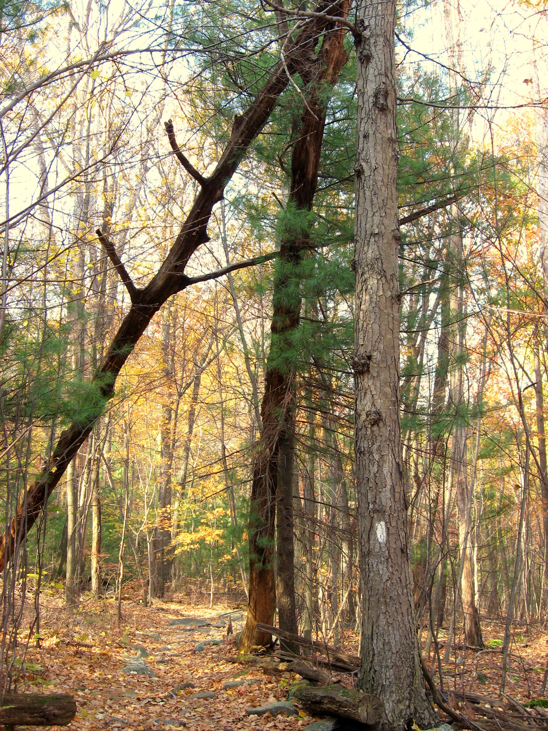
The AT Tree
Location: 40.0348765, -77.3205006
This “widow-maker” on the trail almost seems to form an “A” and a “T”.
Tom’s Run Crossing
Location: 40.0386797, -77.3258972
Here the AT crosses Tom’s Run: a beautiful little stream, and a great place to stop and rest.
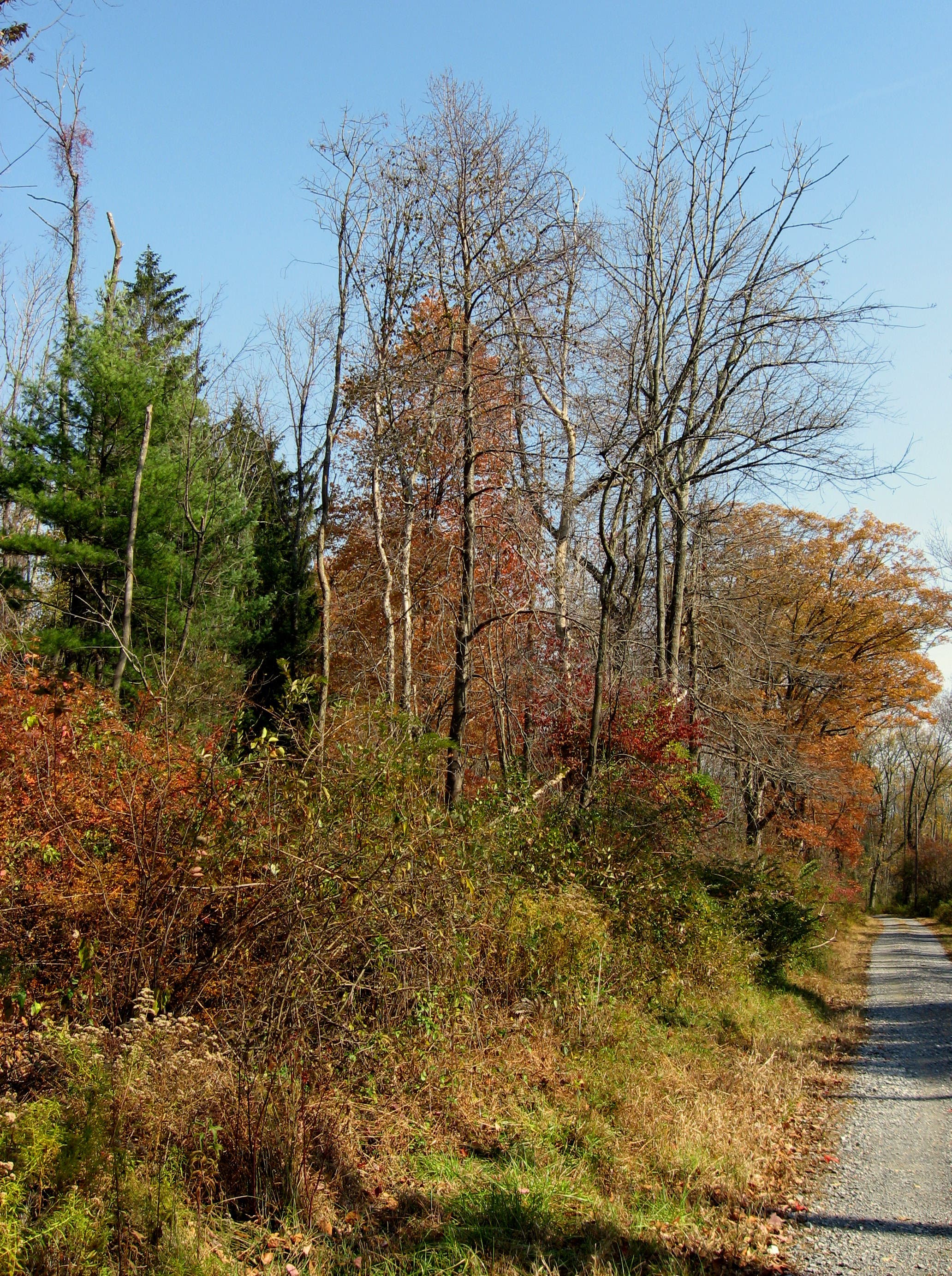
Edge Habitat
Location: 40.0373737, -77.3354673
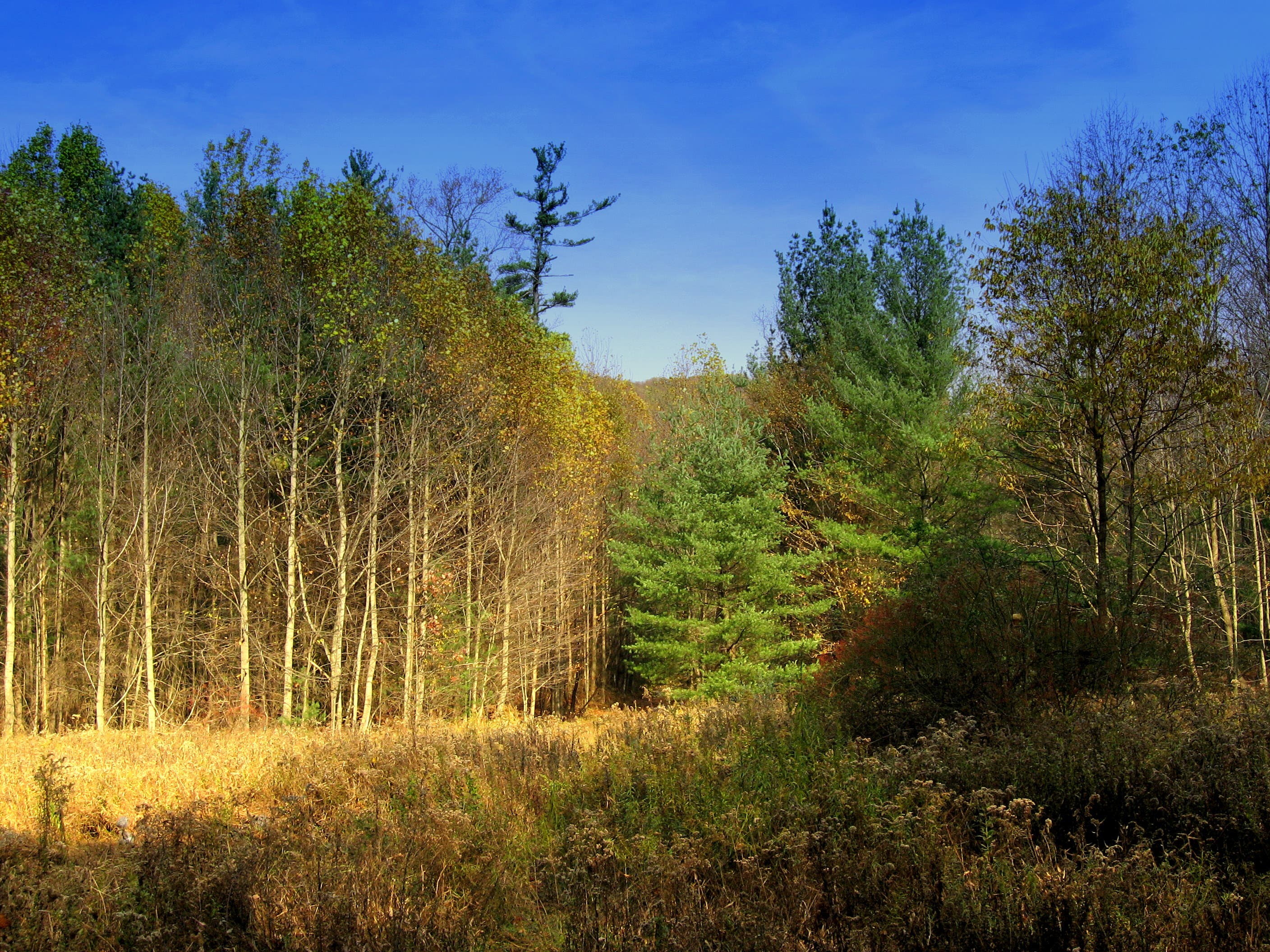
While the forest road stretch isn’t the most scenic, it does make for some exceptional habitat, home to several bird species: chickadees, cedar waxwings, flickers, just to name a few.
Tom’s Run Shelter
Location: 40.03394, -77.3568821
Meadow on Sunset Rocks Trail
Location: 40.0336443, -77.3547256
Footbridge
Location: 40.0359608, -77.345767
In the fall of 2008, this footbridge had some maintenance issues. It’s not much of a problem, unless there is a lot of spring melt-off.
Roadside Critter
Location: 40.0320096, -77.3369586
Rocky Trail
Location: 40.0311059, -77.3353064
Forest Views
Location: 40.0330939, -77.3322487
Intermittent views through the trees reveal vistas of South Mountain.
Steep Trail
Location: 40.0335375, -77.3307681
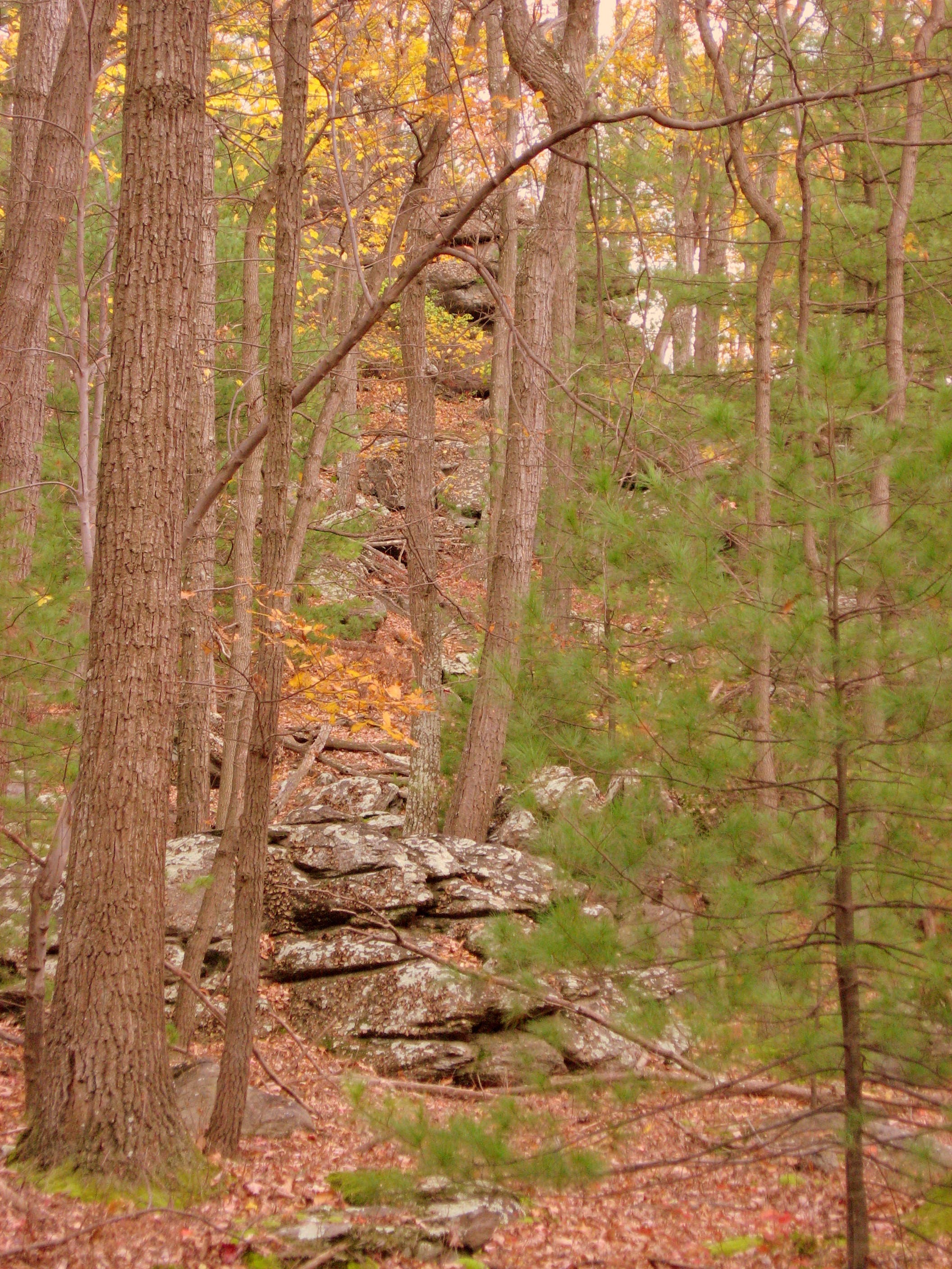
Watch for blazes on both trees and boulders on the rocky climb of Sunset Rocks.
Nearing the Summit
Location: 40.0340058, -77.3282146
Amazing treetop views of Michaux State Forest.
Bouldering Spot
Location: 40.0339893, -77.3272705
Opportunities for sensible boulder scrambling abound on the climb up Sunset Rocks.
Woodpecked
Location: 40.0350819, -77.3269486
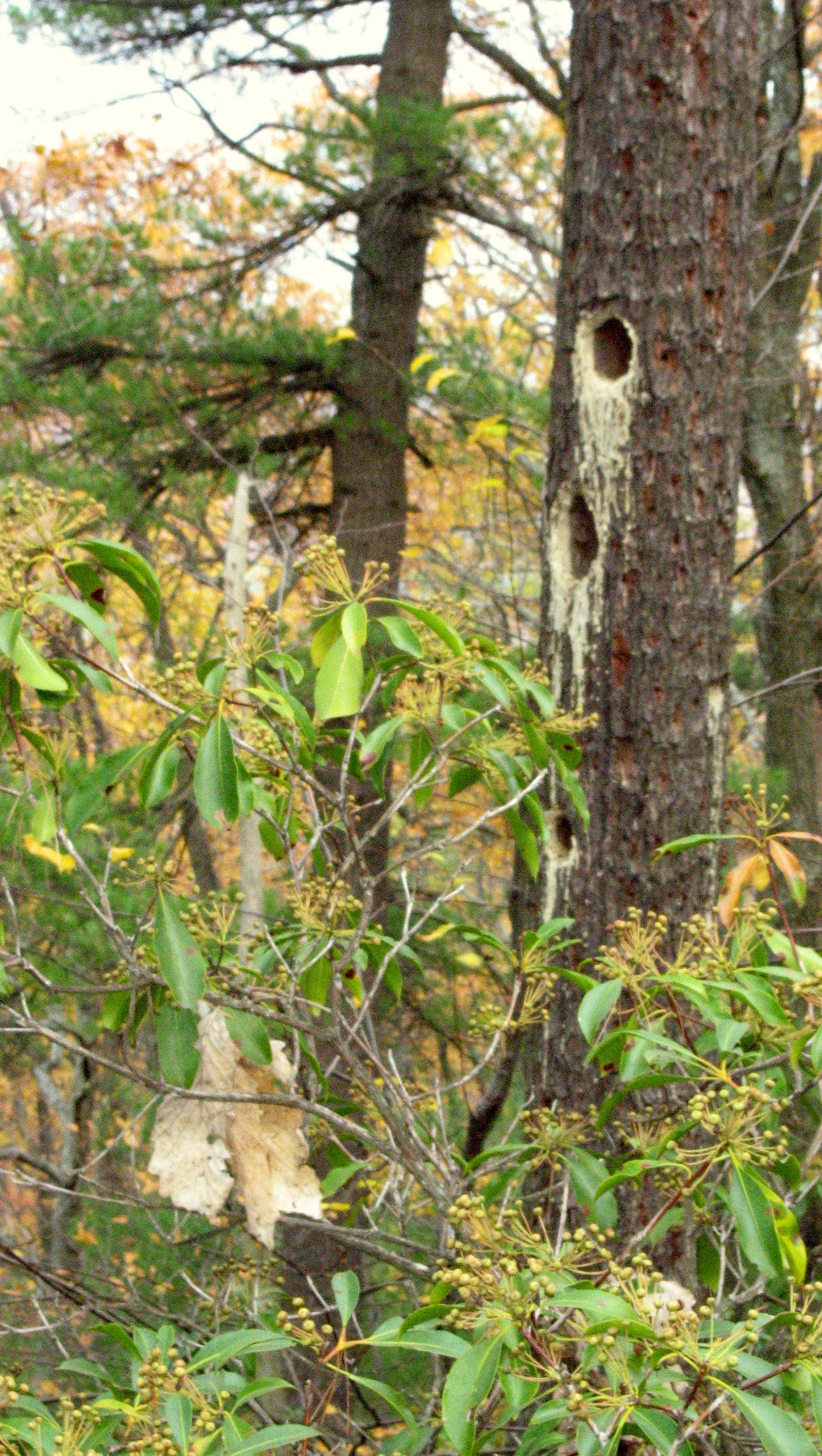
An incredible set of holes drilled by pileated woodpeckers.