Gunnison, CO: Dillon Pinnacles

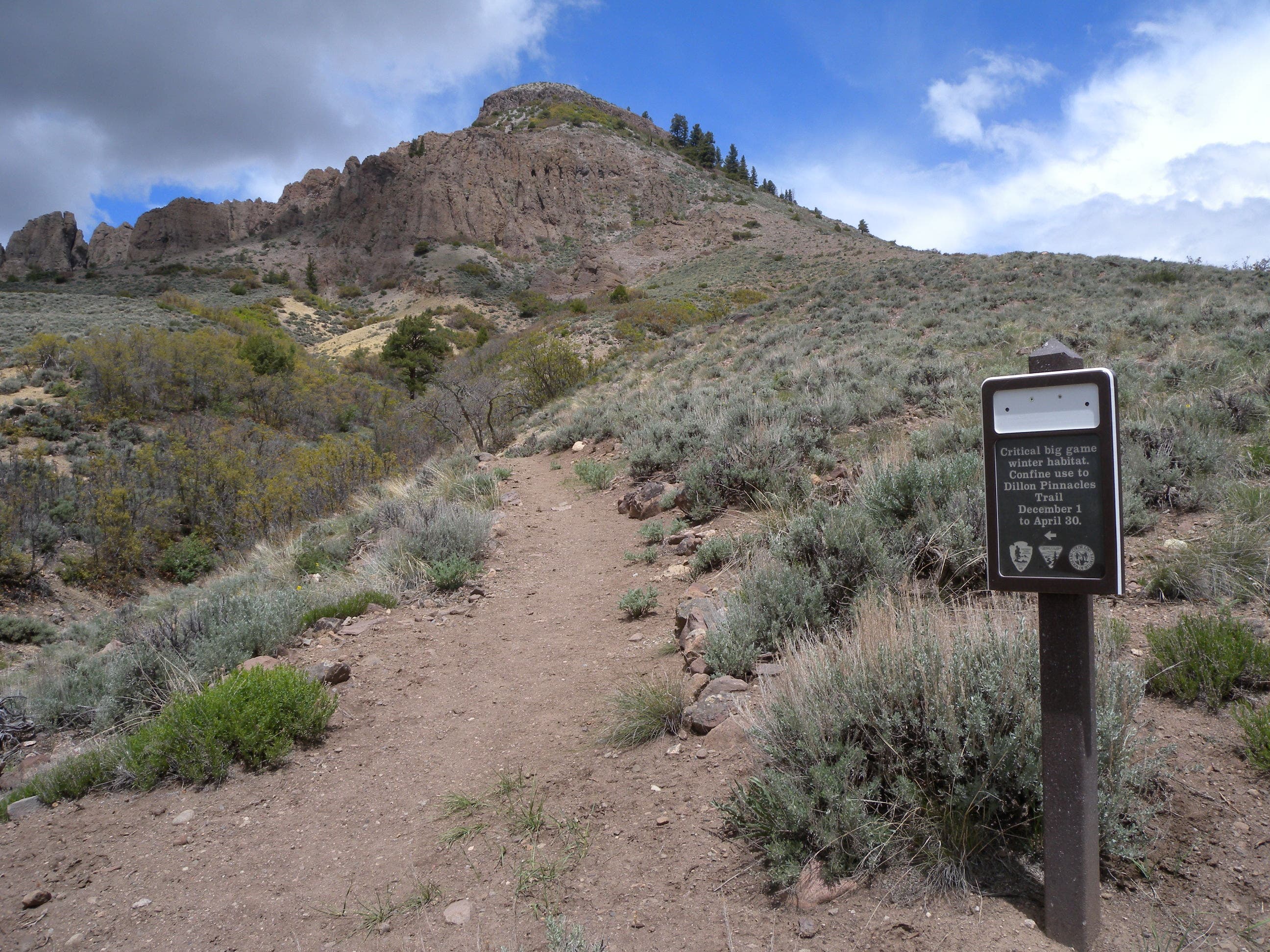
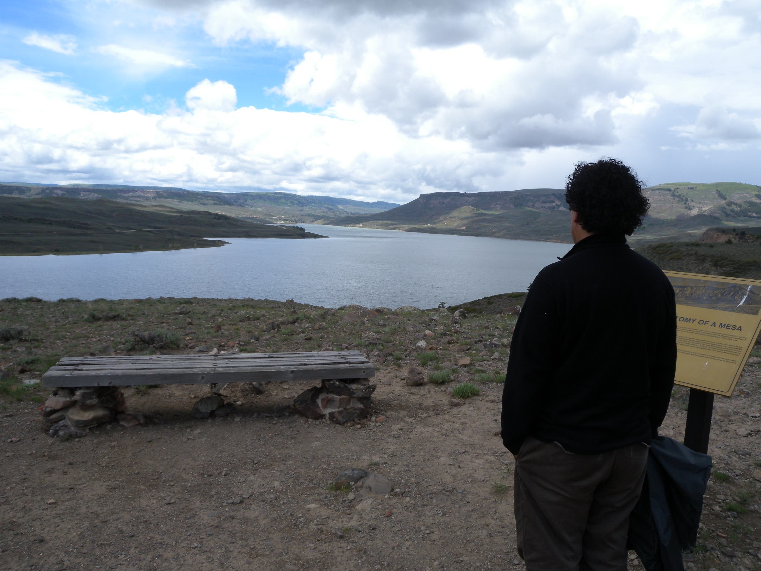
This moderate 3.8-mile lollipop loop heads west from the roadside trailhead above the Morrow Point Reservoir. After 0.75 mile, follow the trail uphill past cedar and sage in Dillon Gulch to a junction where this route bears left. You’ll wind through the exposed, high-desert landscape below volcanic formations known as the Dillon Pinnacles. If you can, avoid stopping at one of several benches on the trail and save your sitting for the best one: at the overlook between the reservoir and the 600-foot pinnacles (and the route’s turnaround point).
Note: There isn’t much shade on this route—sagebrush and stubby alpine trees hint at the area’s inhospitable conditions. Expect fast-changing conditions and try to hit this trail in the morning or evening hours mid-summer to avoid strong winds, heat and afternoon thunderstorms.
-Mapped by Kristy Holland
Trail Facts
- Distance: 6.1
Waypoints
DIP001
Location: 38.4703695, -107.2532558
The well-marked trailhead is just north of the Marrow Point Bridge. There are pit toilets and a map kiosk. Follow the old road south 100 yards from the parking area and turn right onto the dirt path.
DIP002
Location: 38.4731609, -107.2600102
Stop to read the first of several interpretive signs explaining local geology. Up ahead, the trail turns into Dillon Gulch where there’s more protection from the sometimes fierce winds.
DIP003
Location: 38.4795075, -107.2602768
Pass cedar and other riparian trees as you climb the gulch. There isn’t much shade on this route, but you might find a bit at this bench just before mile 1.
DIP004
Location: 38.4807672, -107.2593355
Turn left at this Y-junction to follow the trail along the south side of the pinnacles.
DIP005
Location: 38.481668, -107.2641205
After the climb through Dillon Gulch and along the open hillside, the trail turns gently downhill through a couple of riparian-zone washes.
DIP006
Location: 38.4828811, -107.2678361
Continue past the bench in this sharp left curve in the trail. The bench at the turnaround point is less than 300 yards away and offers a superior view.
DIL007
Location: 38.4822376, -107.2683513
Turn either way at this Y-junction near trail end. This route bears right toward the pinnacle’s rock, but the quarter-mile loop is easy to follow in either direction.
Scenic Overlook
Location: 38.4812214, -107.2694349
There are several benches on the trail, but it’s worth waiting to rest at this one overlooking the reservoir near the turnaround point.
Trailhead
Location: 38.4703695, -107.2531968
The Dillon Pinnacles Trailhead sits alongside US 50 and is marked by a large sign that makes it hard to miss.
Trail
Location: 38.4696597, -107.2542375
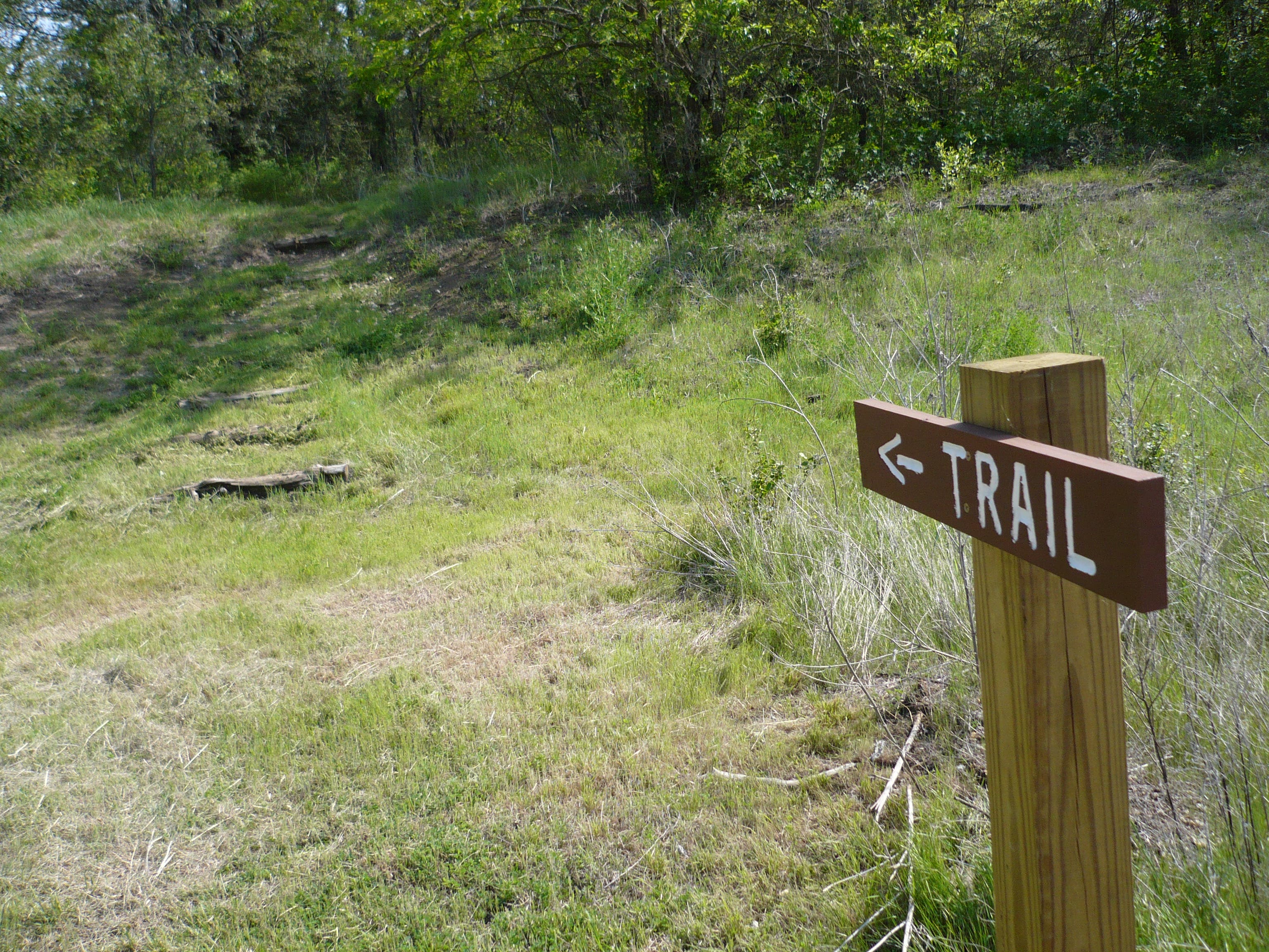
After a short stretch on old pavement, this route bears onto singletrack to traverse above the shoreline.
Sign
Location: 38.4731456, -107.2600365
The first of several interpretive signs explains the history and formation of the Dillon Mesa, visible to the north.
Junction
Location: 38.4807553, -107.2593069
This small sign marks the junction where the Dillon Pinnacles Trail heads west, out of the gulch.
Reservoir
Location: 38.4805369, -107.2630834
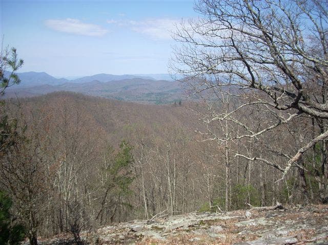
Perched between the Dillon Mesa and the Morrow Point Reservoir, this route offers beautiful views of both.
Rock
Location: 38.4821453, -107.2688556
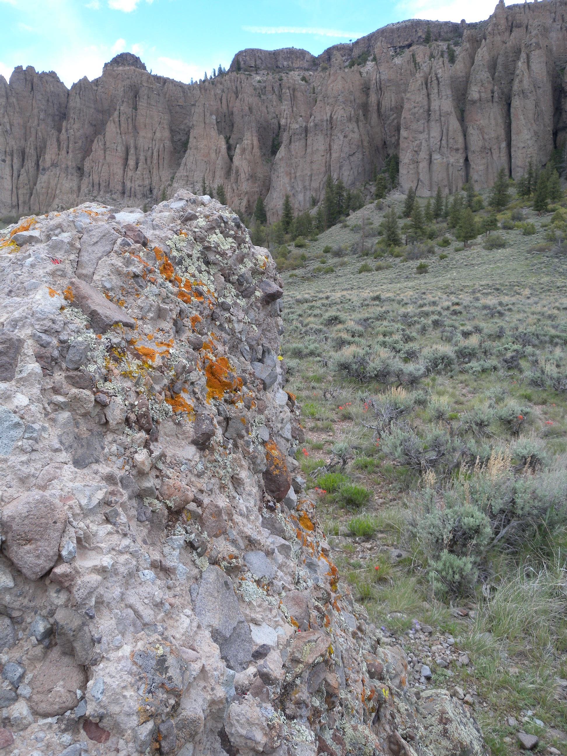
This lichen-covered rock was blown from a stratovolcano over 30 million years ago. It’s a trailside example of the material that makes up the larger pinnacles on the trail’s north side.