The Bowl Loop Hike: Guadalupe Mountains National Park

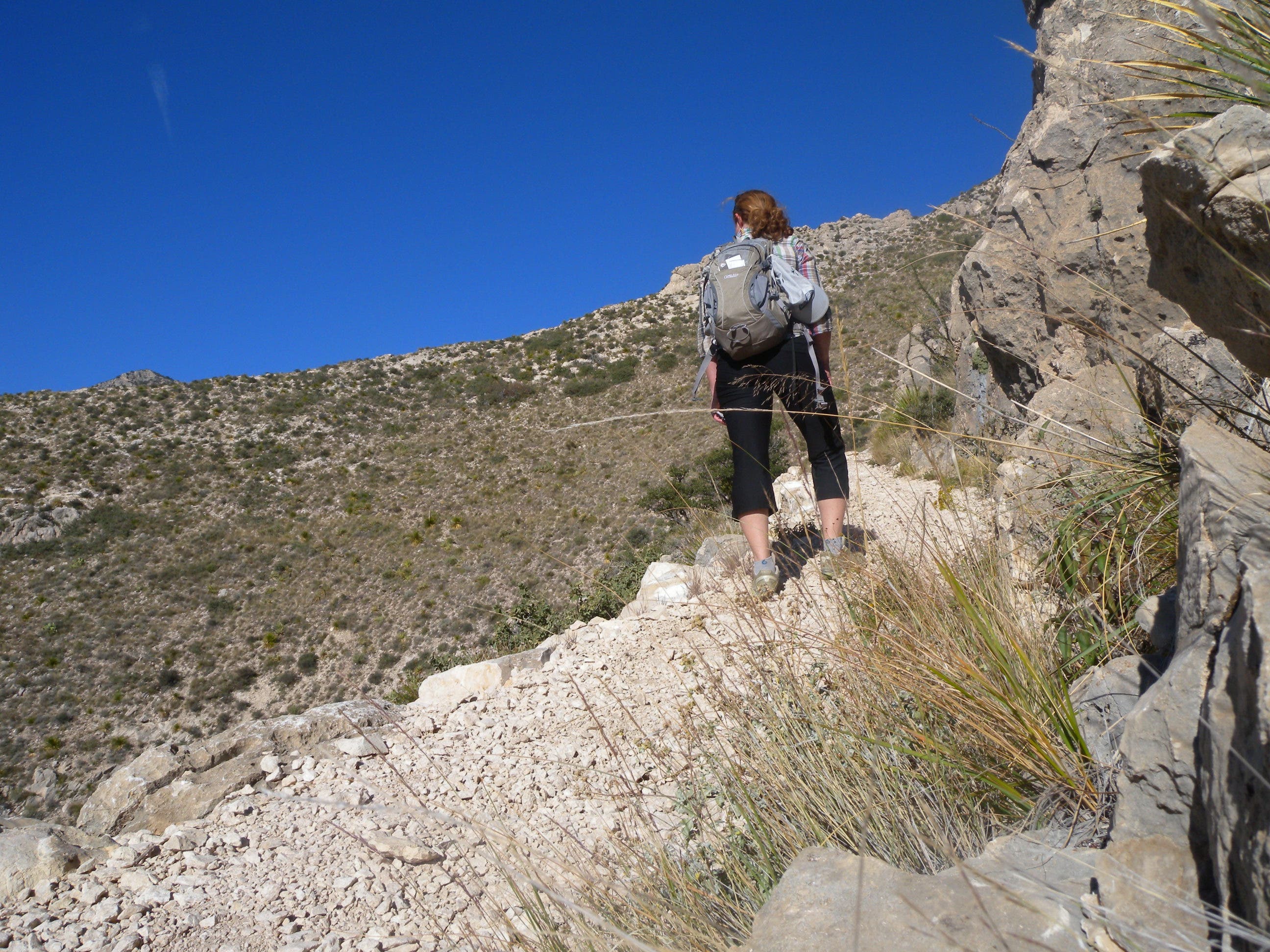
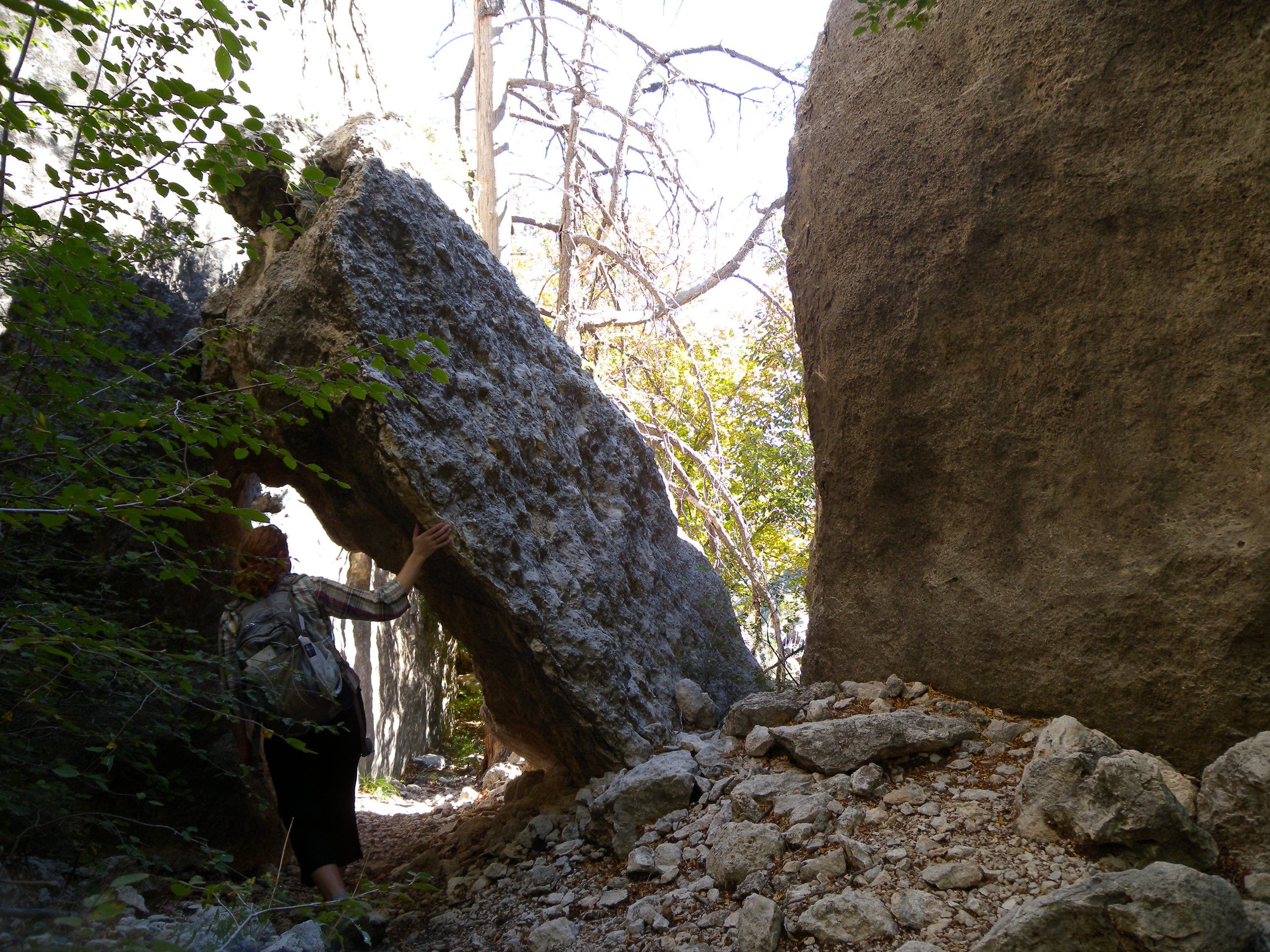
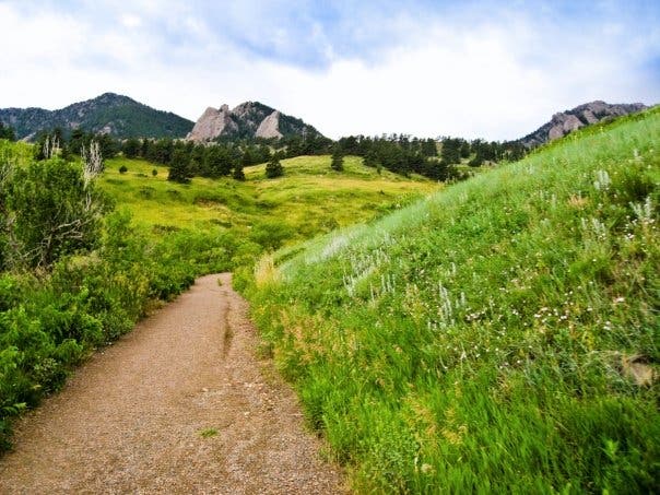
Valley view along the Bowl Loop hike. (Photo: Abby Levene)
Home to five of Texas’s six highest peaks, the Guadalupe Mountains are an oasis of diversity in west Texas. You’ll skirt cholla in the Chihuahuan Desert, rest beneath shady pine on a rugged limestone hilltop, and cruise a flower-filled backcountry meadow—The Bowl—on this 12.65-mile overnight. From the Pine Springs Trailhead follow the Tejas Trail through a white-rock wash. Begin a gentle climb that ramps toward soaring switchbacks en route to the top of Pine Valley’s north side. This route dips from the valley’s edge toward a pine-covered forest to a protected campsite at mile 5.4.
On day two, backtrack 0.4 miles and turn up the Juniper Trail to wrap the south-facing hillside toward the back of The Bowl—a hilltop depression where you’ll see burn evidence—before turning south for a side trip to Hunter Peak. After a quick peek into the Pine Valley (and the entire west side of Texas), turn from Hunter Peak toward the rocky Bear Canyon Trail. It switchbacks down a narrow valley and eventually narrows into a limestone slot, less than 30 feet wide in some places. The final stretch follows the Frijole Trail around the mountain’s base to the visitor center.
If you’re not interested in an overnight, you can complete this loop as a long day trip. No matter how you hike it, it’s important to remember there’s no water in the Guadalupe Mountains high country. Plan to bring enough for all your drinking and cooking needs.
Trail Facts
- Distance: 12.65-mile loop
- Elevation: 3,169 feet
- Difficulty: Challenging
- Permits: Yes. Overnight camping in Guadalupe Mountains National Park requires a free backcountry permit.
The Route
Starting at the Pine Springs Visitor Center, this fun yet challenging loop takes you along a rocky trail through washes, over peaks, and into valleys.
-Mapped by Kristy Holland
Pine Springs Trailhead to Tejas Campground
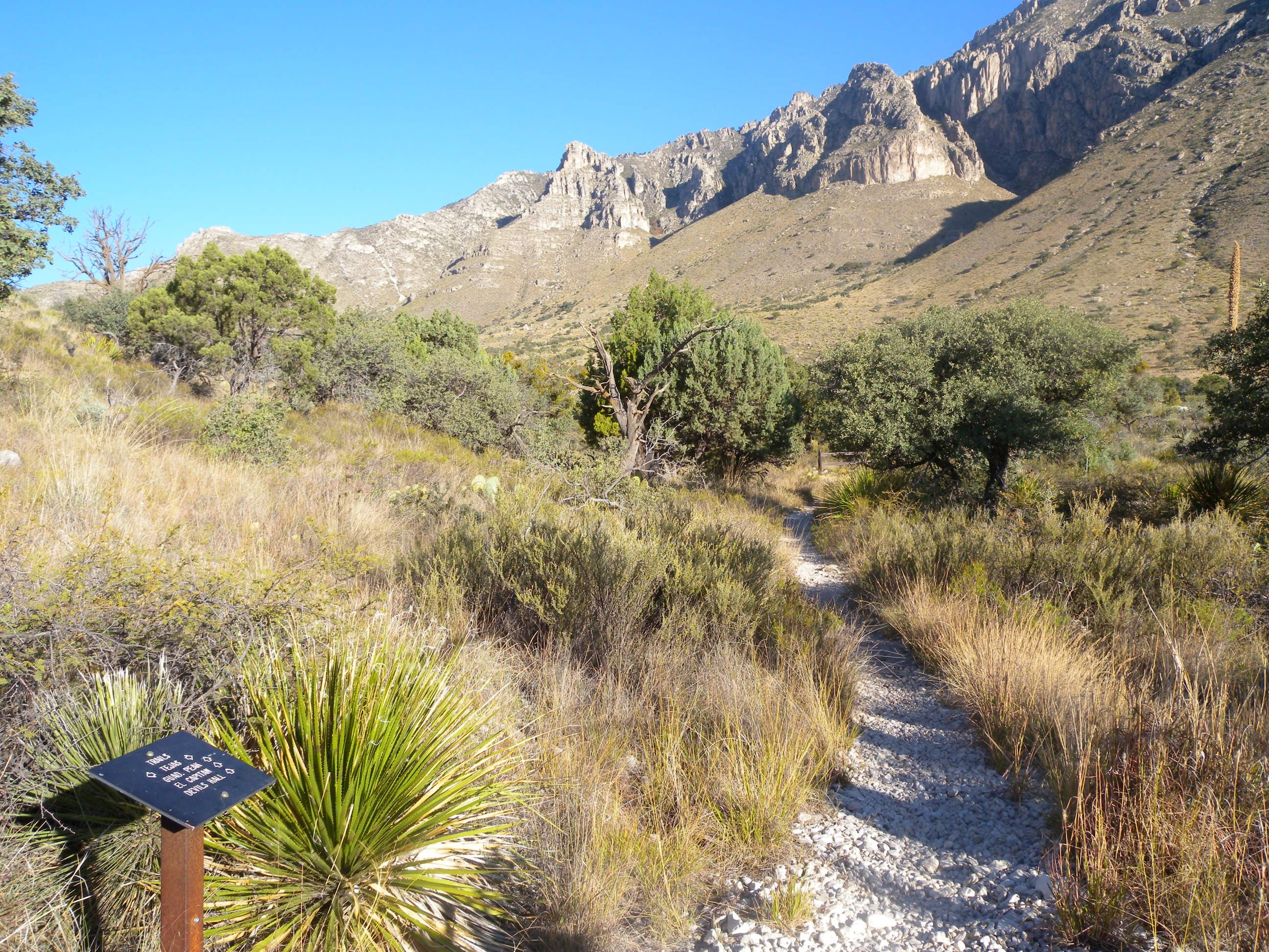
There is a restroom, water, and lots of parking at the trailhead, which is also the RV camping area. If the lot is full, park at the visitor center and add another 0.5 mile to your hike. About 50 feet from the trailhead kiosk, turn right onto the Tejas Trail and dip into a dry wash. You’ll follow this trail for the next 5.9 miles to the Tejas Campground.
Most of the trail’s lower section is desert-like and lined with grasses and cacti, but as you head into this wash you’ll see larger trees. Look ahead and you’ll see the trail climbing the hillside. As the trail crosses the ridge you’ll have dead center views of the valley and birds-eye views of Devils Hall. Look for aoudad—a type of big-game sheep—on the rugged hillsides across the canyon. You’ll climb into trees on the last few switchbacks.
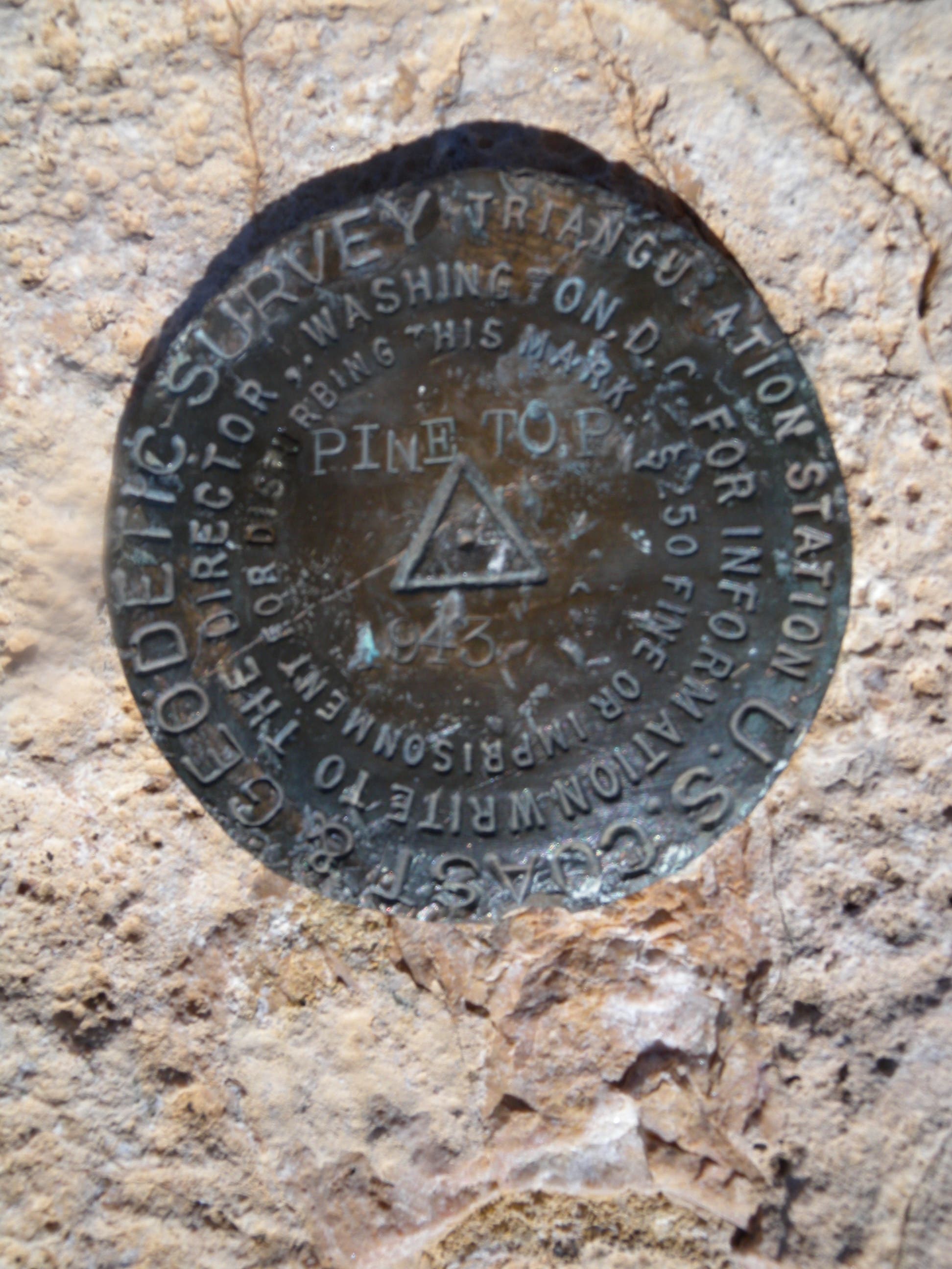
As you reach the top of the hill, you’ll cruise straight through a 4-way junction, bypassing the Bush Mountain, Pine Top Campsite, and Bowl trails.
The Tejas Campground to the Bowl

Continue straight to one of the Tejas Trail’s six backcountry sites. On day two, you’ll backtrack to this junction and turn east on the Juniper Trail to continue towards the Bowl. Tejas Campground has six individual sites situated near the bottom of the canyon. This spot is a great alternative to Pine Top which is more crowded, and can be much more exposed to strong, west-Texas winds.
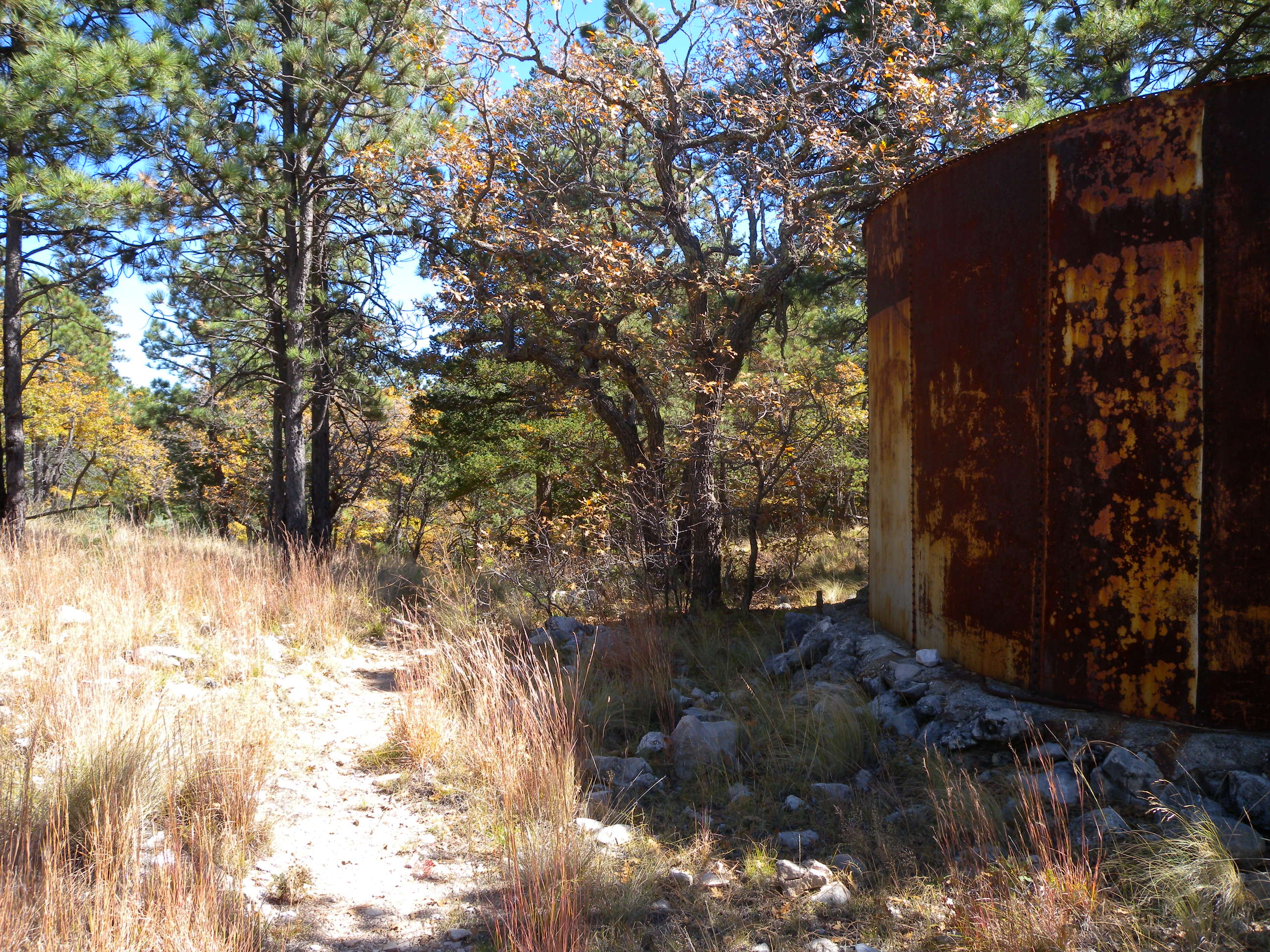
After camping for the night, you’ll have a mellow, shaded climb through pine and deciduous forests on the loop’s north side. As you gain altitude, the canopy opens to great views of the nearby peaks and valleys—Bush Mountain and Pine Top. There’s a water tank just east of this small saddle where the trail turns downhill into the Bowl. There aren’t any natural water sources on the top of the hills, so early settlers to the area built these towers to allow for grazing.
The Bowl to Bear Canyon
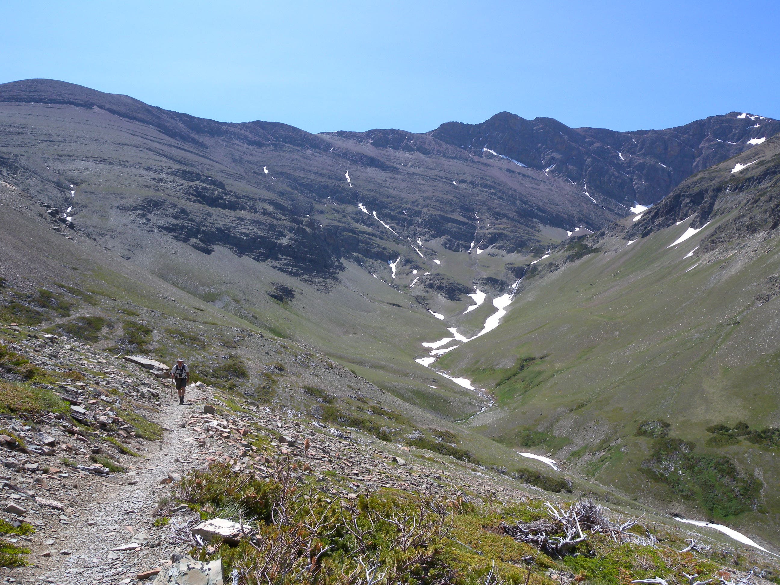
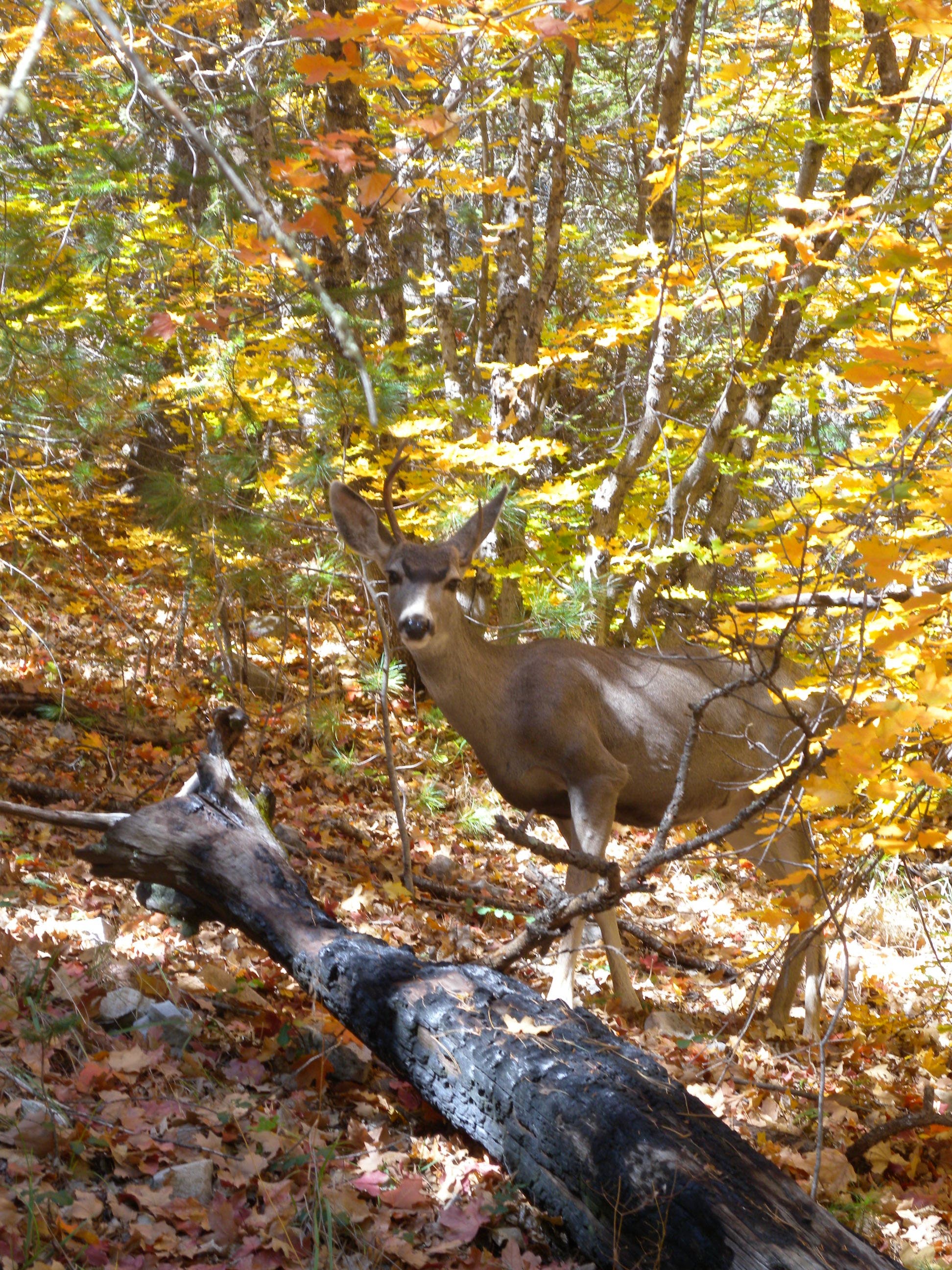
Turn right on the Bowl Trail at this 3-way intersection. At this point, you’re near the base of the Bowl’s depression—in a grassy, snag-studded meadow. Though this open space is a much-noted park feature, it can be a bit anticlimactic because of more dramatic views on the mountains’ edges. Enjoy the flat, quiet, wildlife-filled calm before heading south.
Turn left, almost 180-degrees at a tricky intersection near mile 8.6. The Bowl Trail continues downhill (and turns west) toward Pine Top, but this route turns uphill (and east) toward Hunter Peak to make a loop.
The 15-minute out-and-back to the top of Hunter Peak is worth the stair-stepping climb. Look for visible remnants of the one-time reef that is the basis for this range and get ready for a beautiful, windy, cross-valley view. After the peak, backtrack to this point and follow the ridge downhill toward Bear Canyon.
Bear Canyon to Pine Springs Visitor Center
Turn right at this signed, three-way junction. From this point, the trail drops sharply and you’ll wind through Bear Canyon on a steep, rocky trail. There’s a water pipe along part of the trail that you’ll have to step over once or twice. A hiking stick or trekking poles would make this section easier—loose, pea-sized pebbles make for loose footing, especially on the upper sections of the trail. The bottom of the canyon is quite narrow and the trail winds through rocks and around boulders in some of the narrowest sections. It can be shady and cool in these valley pockets.
At a junction with the Frijole Trail, turn right. The trail wraps around the base of the mountain and dips into a few washes before cruising back toward the Pine Springs campground. The singletrack path rolls through several washes before this junction with the Foothills Trail just below Pine Spring, about 0.5 miles from loop-end. After climbing out of the wash, the trail wraps to the right and you’ll see the visitors center on your left.
Additional Photos
