Updated May 3, 2024 11:12AM
Guadalupe Peak Trail
You'll summit the highest point in Texas on this 8-mile overnight trip in Guadalupe Mountains National Park.
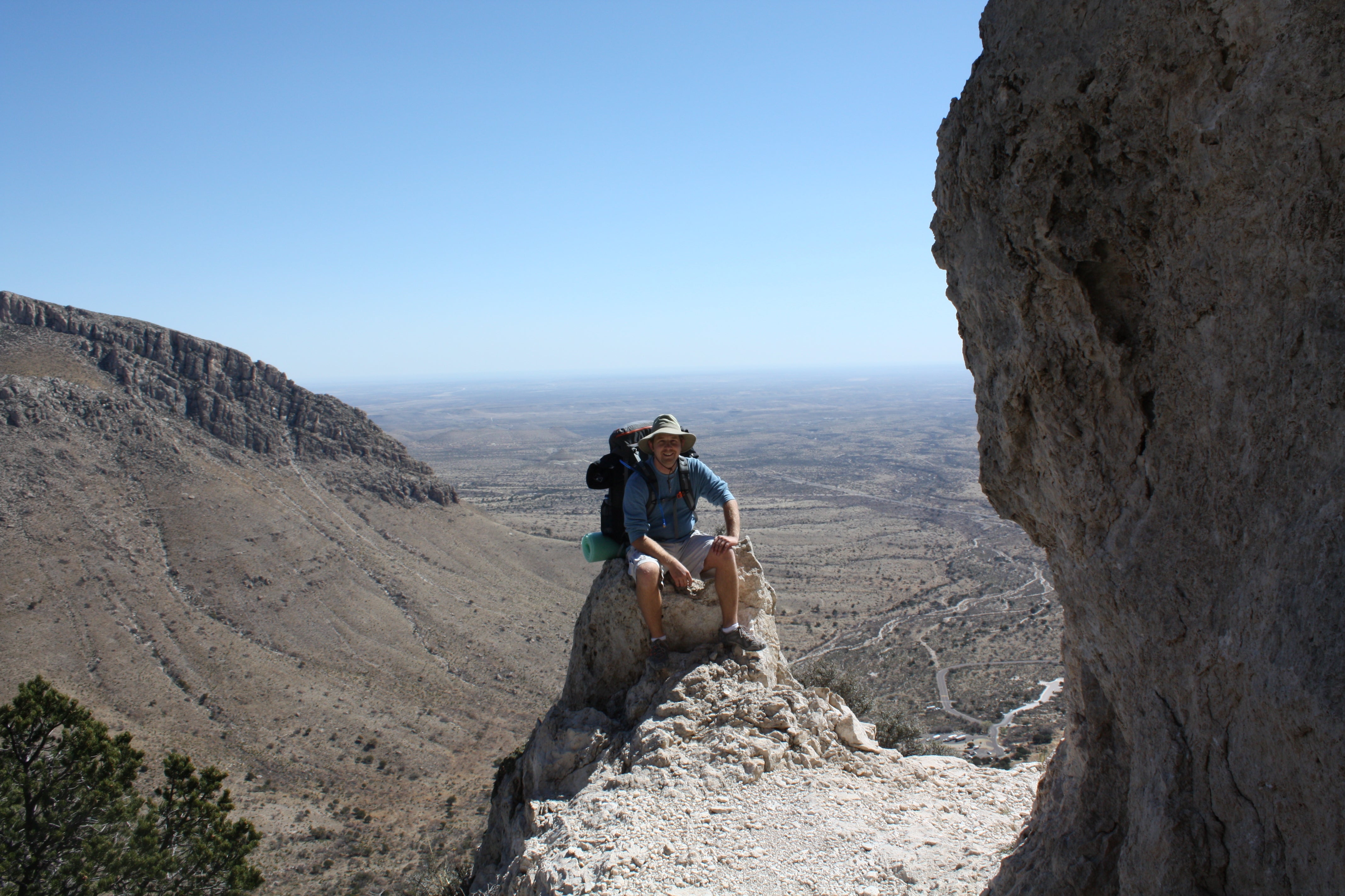
Eastern views of the desert along the Guadalupe Peak Trail.
Hike to the top of Texas in Guadalupe Mountains National Park. Rising from the west Texas salt flats like a limestone shiv, the Guadalupe Mountains are home to 8,751-foot Guadalupe Peak, the highest natural point in Texas. The 8.4-mile Guadalupe Peak Trail is a strenuous journey that offers stunning panoramas of the vast Chihuahuan Desert and surrounding scrubland, and long-distance views of New Mexico and Mexico. If you want to turn this popular day hike into an overnight, you can set up camp at the Guadalupe Peak Backcountry Campground, a mile from the summit.
Trail Facts
- Distance: 8.4 miles out and back
- Elevation Gain: 3,000 feet
- Difficulty: Challenging
- Permits: Yes. Overnight camping in Guadalupe Mountains National Park requires a free backcountry permit.
The Route
Mapped by Steven Smith, mylifeoutdoors.com
Pine Springs Trailhead to Guadalupe Peak Wilderness Campground

Begin your hike at the Pine Springs Trailhead and follow signs for the Guadalupe Peak Trail. Be prepared for the trail to get steep quickly. Switchbacks will help ease the vertical rise, but you’ll gain nearly 1,000 feet of elevation in a mile. Be sure to stop and enjoy the views (and catch your breath) as you hike up.
After your first set of switchbacks, the trail wraps around the northern slopes of Guadalupe Peak. This shadier side is home to one of the mountain’s forest of pines. At 2,200 feet (about 3 miles from the trailhead) you’ll find the Guadalupe Peak Wilderness Campground. Its five campsites offer minimal protection from high winds, so be prepared.
ADVERTISEMENT
Guadalupe Peak Wilderness Campground to Guadalupe Peak Summit

After hiking past the campground, you’ll come to the the highest bridge in Texas. At 8,093, this bridge takes you toward the summit of Guadalupe Peak and makes for a fun photo session. Cross the bridge and tackle another set of switchbacks to crest the highest peak in Teaxs.
Guadalupe Peak Summit

You’ll catch amazing views of El Capitan to the south and stunning panoramas of the Guadalupe Mountains and the surrounding desert. On clear days, you can even see as far off as Mexico. The American Airlines Monument at the peak commemorates a transcontinental stagecoach route that passed by the mountain more than 100 years ago.
ADVERTISEMENT
Once you’ve taken your fill of the beautiful landscape, turn around and head back the same way you came.
Additional Photos:


