Greenville, SC: Table Rock Mountain

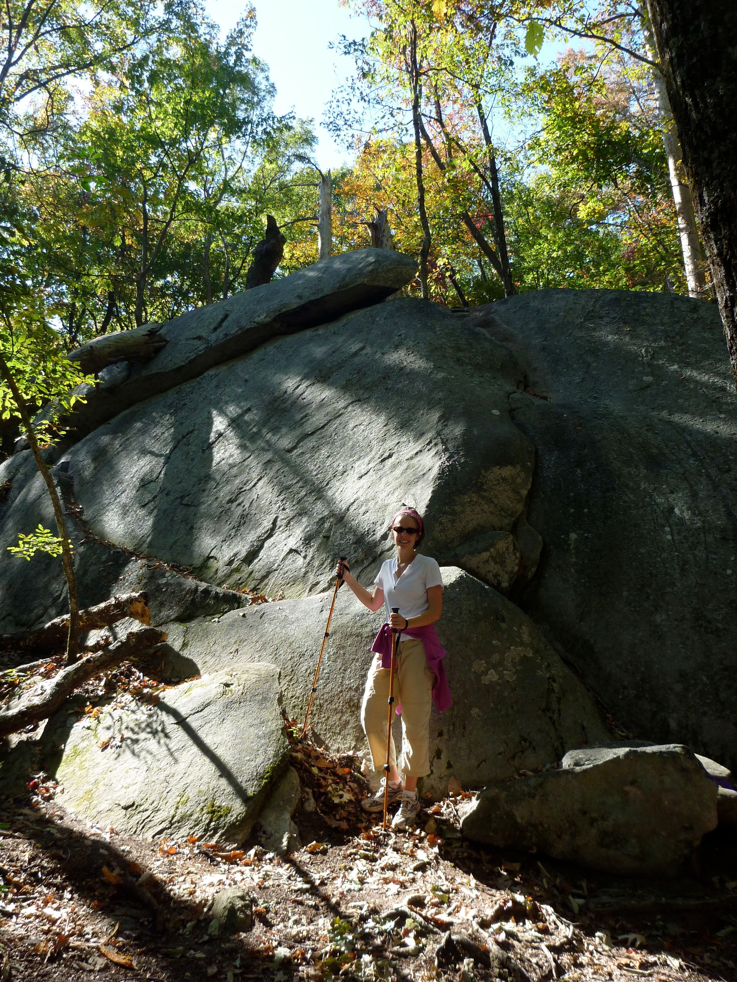
This steep out-and-back begins with a quick stretch along a paved path next to the idyllic Green Creek. Pass a small but picturesque cascade before the trail turns to dirt and begins rambling upward through boulder-strewn woodlands. Gain nearly 1,500 feet in elevation before reaching the Ridge Trail and swinging to the east for your final 1.5-mile push toward Table Rock’s summit.
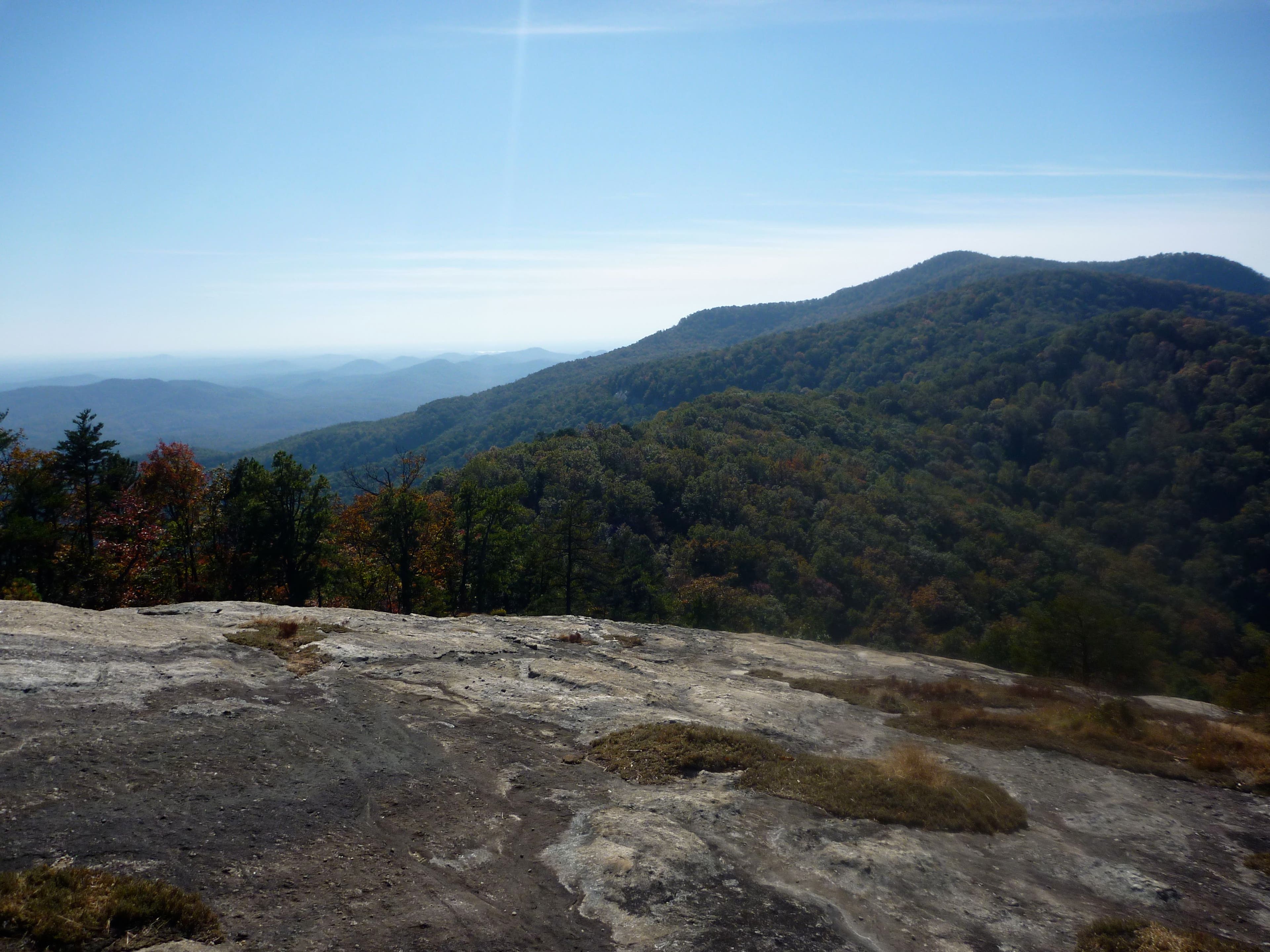
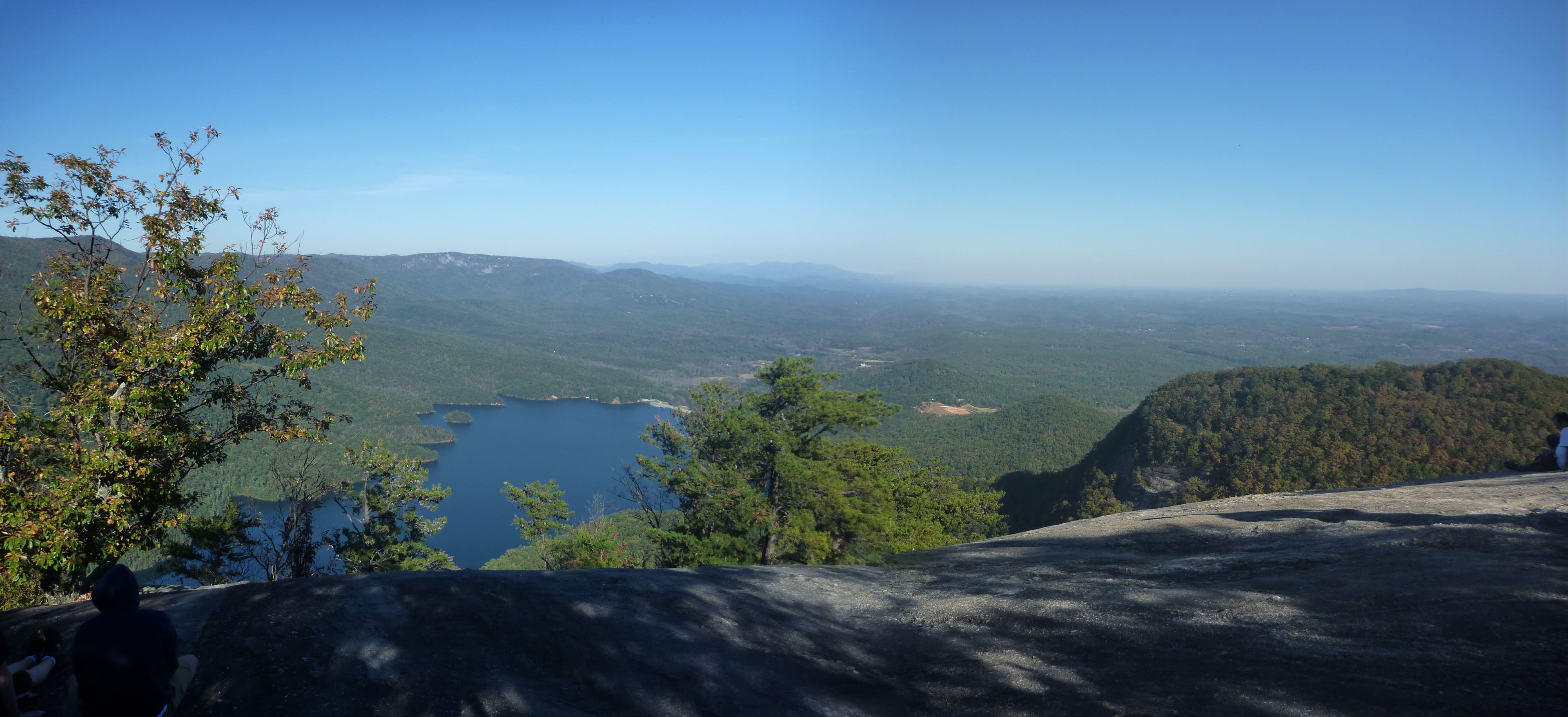
You’ll reach the sign for the 3,124-foot summit before actually gaining any vistas: keep following the trail blazes to reach a broad, rocky landing at the edge of a sheer cliff face. From here, savor sweeping panoramas of South Carolina’s verdant and hilly Piedmont and the Table Rock Reservoir nestled between forested hillsides before returning to the trailhead via your inbound route.
Begin your hike with a full supply of water: there are no sources along the trail. Front-country camping is available in the campground to the west of the trailhead off West Gate Road (69 sites) and to the east of the trailhead in White Oaks Campground (25 sites). Backcountry camping is permitted outside of the state park boundary. The park charges a $2 entrance fee for adults; visitors who are 15 years old or younger are free.
-Mapped by Peter Shellabarger

Trail Facts
- Distance: 11.3
Waypoints
TRT001
Location: 35.032272, -82.700717
Leave your car in the parking lot adjacent to Pinnacle Lake. Head north on the paved trail next to the Nature Center. You’ll pick up the Table Rock Mountain Trail after rambling alongside Green Creek for 0.2 mile. Fill up water bottles before you start: there are no water sources for the remainder of the hike.
TRT002
Location: 35.033284, -82.701816
Bear right onto Table Rock Mountain Trail. The trail to the left leads to Pinnacle Mountain.
TRT003
Location: 35.03511, -82.701652
The trail turns to dirt shortly after you pass this wooden observation deck that offers glimpses of a picturesque cascade.
TRT004
Location: 35.036494, -82.703797
Bear left to bypass the Carrick Creek Nature Trail; continue on Table Rock Mountain Trail.
TRT005
Location: 35.041369, -82.708414
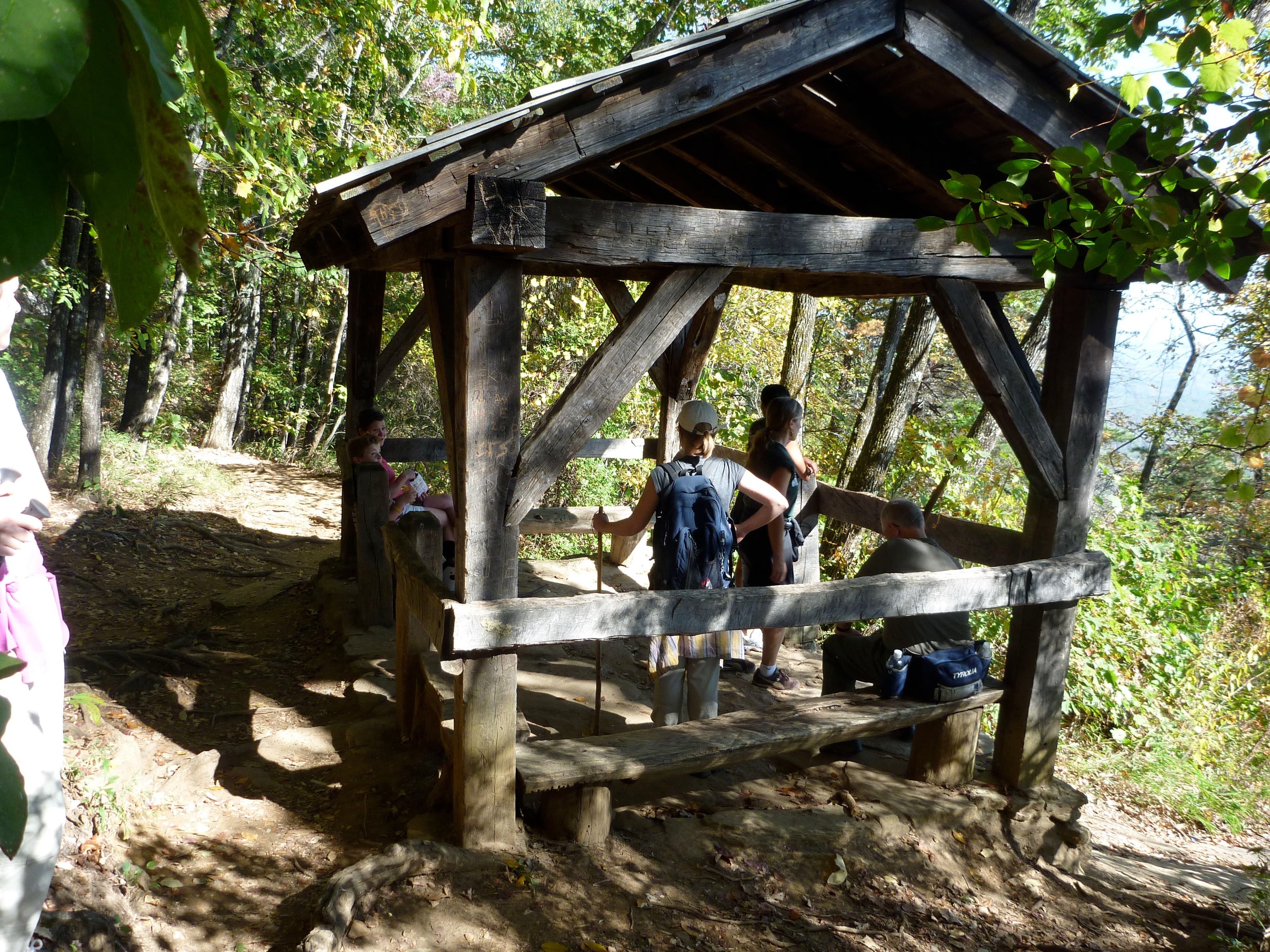
This small shelter, built by the Civilian Conservation Corps in the 1930s, offers a panorama of the tree-blanketed country below. The views increase as you climb higher.
TRT006
Location: 35.042715, -82.714613
Enjoy prime panoramas of South Carolina’s rolling Piedmont region from this rocky outcropping.
TRT007
Location: 35.043537, -82.717923
The Table Rock Mountain Trail intersects the Ridge Trail here. Fork right at the junction to begin the final 1.5-mile stretch to Table Rock’s summit. Turning left leads to Pinnacle Mountain. Though Pinnacle is the third highest peak in South Carolina, it offers no views.
TRT008
Location: 35.047473, -82.710314
Grab more sterling lowland panoramas from this rocky outcropping along the trail.
TRT009
Location: 35.050389, -82.70352
Reach a sign marking Table Rock’s summit (3,124 feet). Continue walking to gain the mountain’s signature panoramas.
TRT010
Location: 35.050672, -82.701307
Look south for more magnificent Piedmont vistas. Follow the trail blazes east for more summit views.
TRT011
Location: 35.053101, -82.699445
The terminus of the Table Rock Trail offers excellent vistas of the Table Rock Reservoir and surrounding countryside. Return to the trailhead by retracing your route.
Boulder
Location: 35.036862, -82.704987
Shelter
Location: 35.041381, -82.708254
Piedmont Panorama
Location: 35.042734, -82.71438
Rocky Outcropping
Location: 35.047486, -82.710228
Summit
Location: 35.050393, -82.703383
Reservoir View
Location: 35.053116, -82.699285