Great Smoky Mountains NP: Gregory Bald via Twentymile and Wolf Ridge Trails

ROUTE: The trip begins at Twentymile Ranger Station parking lot in the southwestern part of Great Smoky Mountains. At mile 3.1, the Twentymile Loop Trail meets the Long Hungry Ridge Trail. At mile 7.6, the Long Hungry Ridge Trail meets Gregory Bald Trail. At mile 8.3, the Gregory Bald Trail summits Gregory Bald. At mile 9.4, the Gregory Bald Trail meets the Wolf Ridge Trail. At mile 15.7, the Wolf Ridge Trail returns to the Twentymile Ranger Station parking lot. Along the way, you’ll pass side trails to Twentymile Creek cascades, views of Shuckstack lookout tower (which is visible from Long Hungry Ridge Trail), and cross over Parson Bald.
-Mapped by Charles Bethea
PLAN IT
MAP
>> Trails llustrated Clingmans Dome/Cataloochee/Great Smoky Mountains NP ($10, natgeomaps.com)
>> View a map of the park at the Great Smoky Mountains National Park website.
>> Order the USGS topo quads listed above at store.usgs.gov.
>> Order a custom map of this route at MyTopo.com.
GUIDEBOOK: Hiking Trails of the Smokies ($21, smokiesstore.org) details all 150 maintained trails within the park.
PERMITS: Required when camping at a backcountry campsite or shelter (free, reserve up to one month before your trip and pick up in person). Backcountry reservation office: (865) 436-1231, nps.gov/grsm/planyourvisit/backcountry-camping.htm
POTENTIAL CAMPSITES: #13, #92, #93, #95. Advance reservation is required for Campsite 13 (up to one month before the first day of your trip).
CONDITIONS: Check weather at Gatlinburg, TN (37738) Weather
SEASON: The park is open year-round, and our trail scouts have hiked this route in every season. Check for road, trail, and camping closures at nps.gov/grsm/planyourvisit/temproadclose.htm. Curious about fall foliage? Check nps.gov/grsm/planyourvisit/fallcolor.htm.
PARK INFO: Great Smoky Mountains National Park, (865) 436-1200; nps.gov/grsm
SMOKIES TRIP PLANNER: nps.gov/grsm/planyourvisit/trip-planner.htm
OTHER RESOURCES
GAS
Shell Super Mart
376 Parkway
Gatlinburg, TN 37738
(865) 430-2161
Texaco
799 Tsali Blvd.
Cherokee, NC 28719
(828) 497-4539
GEAR
Nantahala Outdoor Center
13077 Highway 19 W
Bryson City, NC 28713
(888) 905-7238
noc.com
Blackrock Outdoor Co.
570 West Main St.
Sylva, NC
(828) 631-4453
Mast General Store
63 N. Main St.
Waynesville, NC 28786
(828) 452-2101
mastgeneralstore.com
Smoky Mountain Outfitters
469 Brookside Village Way
Gatlinburg, TN
(865) 430-2267
GROCERIES
Food City
1219 East Parkway
Gatlinburg, TN 37738
(865) 430-3116
Bearland General Store
305 Historic Nature Trail
Gatlinburg, TN
(865) 436-4565
Bradley’s Grocery
1699 Paint Town Rd.
Cherokee, NC 28719
(828) 497-9132
RESTAURANTS
Smoky Mountain Brewery
1004 Parkway # 501
Gatlinburg, TN 37738
coppercellar.com/Restaurant-SmokyMountainBrewery.html
Best Italian Cafe & Pizzeria
968 Parkway # 9
Gatlinburg, TN 37738
(865) 430-4090
bestitalian.com
Granny’s Kitchen
1098 Paint Town Rd.
Cherokee, NC 28719
(828) 497-5010
Peter’s Pancakes and Waffles
1384 Tsali Blvd.
Cherokee, NC
(828) 497-5116
Trail Facts
- Distance: 25.3
Waypoints
GRG001
Location: 35.46718, -83.876844
Parking lot: The ranger station is nearby if you need any water, toilet paper, or final advice before setting out.
GRG002
Location: 35.467399, -83.87678
Pick up Twentymile Trail and follow it along Twentymile Creek.
GRG003
Location: 35.471964, -83.87075
Turn right at 3-way junction to begin the counterclockwise loop.
GRG004
Location: 35.470121, -83.866062
Cross a bridge.
GRG005
Location: 35.473331, -83.853085
Bridge crossing
GRG006
Location: 35.473113, -83.851948
Bridge crossing
GRG007
Location: 35.473483, -83.851979
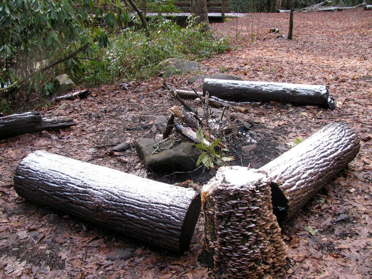
Campsite 93: About 20 yards to the left of Twentymile Trail, beside Twentymile Creek, this campsite has bear cables and a fire ring nearby.
GRG008
Location: 35.480374, -83.845307
Bridge crossing
GRG009
Location: 35.484889, -83.836922
Bear left at Y-junction onto Long Hungry Ridge Trail (mile 3.1). Twentymile Trail continues to the right, climbing to Twentymile Ridge.
GRG010
Location: 35.486249, -83.83637
Rock hop across the unbridged crossing of Twentymile Creek.
GRG011
Location: 35.494412, -83.834138
Slippery stream crossing. The crossing here can be tricky. Head off the trail about 10 yards and look for a few logs to cross.
GRG012
Location: 35.496439, -83.832829
Slippery log crossing
GRG013
Location: 35.499793, -83.834138
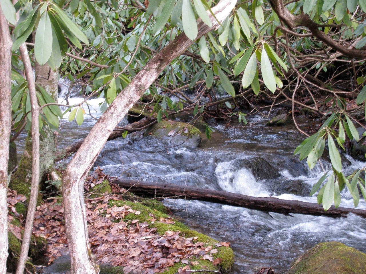
Use caution crossing the creek. It can be deep and fast-moving after rain.
GRG014
Location: 35.50878, -83.842689
Creek crossing
GRG015
Location: 35.510125, -83.849561
A relatively steep climb leads to Long Hungry Ridge, a remote ridge where bears are sometimes seen.
GRG016
Location: 35.520316, -83.853235
Turn left onto Gregory Bald Trail.
GRG017
Location: 35.520938, -83.863349
Emerge from forest the forest onto Gregory Bald.
GRG018
Location: 35.52082, -83.864899
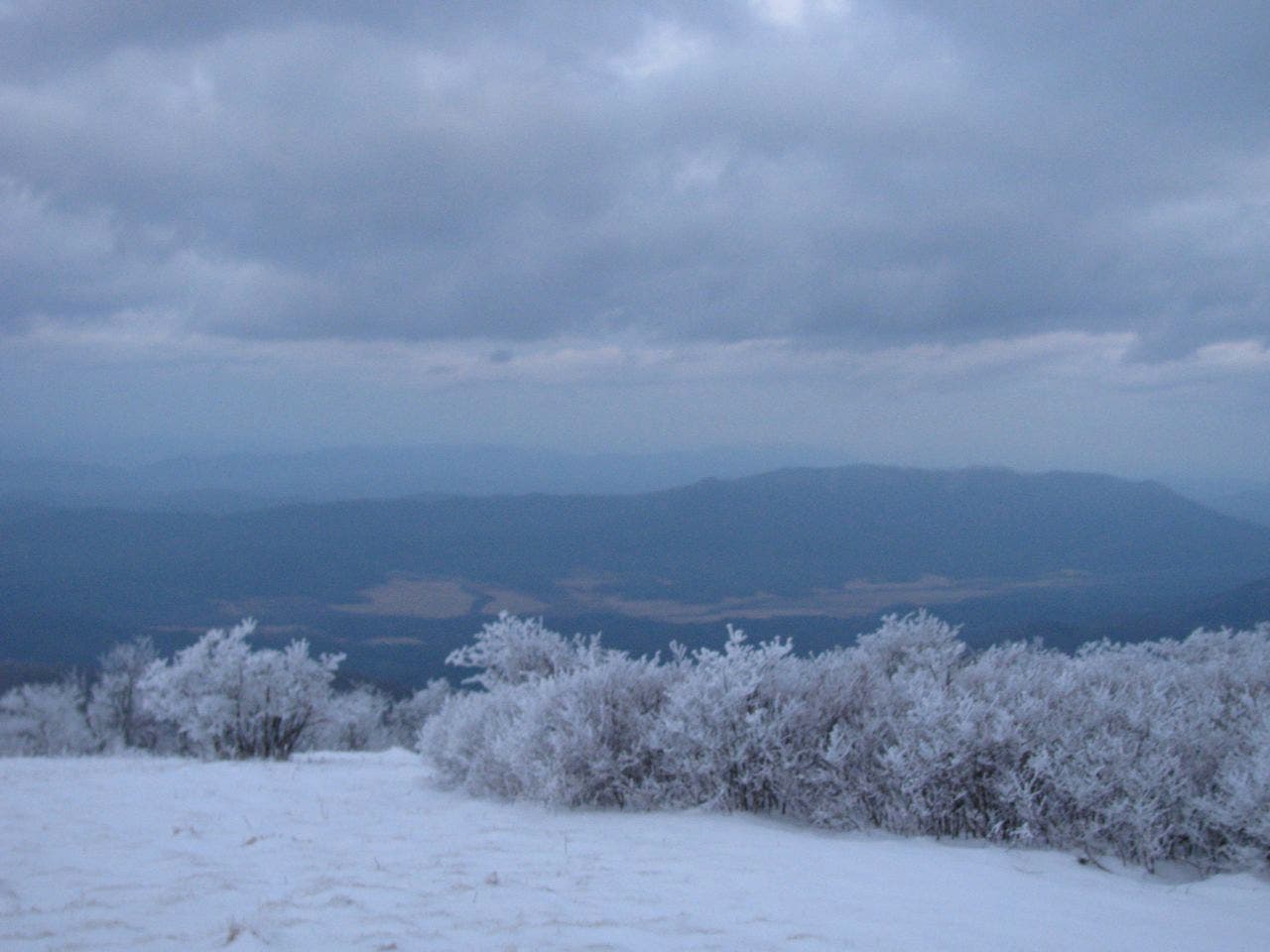
Photo op: To the south you’ll see Lake Cheoh and Fontana Lake. To the north and northeast, Cades Cove and the lights of Gatlinburg.
GRG019
Location: 35.520487, -83.866282
Gregory Bald (4,949 ft.): This open summit is labeled with a USGS marker.
GRG020
Location: 35.520931, -83.873084
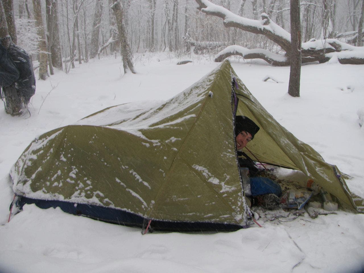
Campsite 13: This high-elevation site, under a stand of firs and out of the wind, is seldom used. Water is a few tenths of a mile down a side trail.
GRG021
Location: 35.51588, -83.883061
Wolf Ridge Trail: After passing the summit of Parson Bald, on the way down from Gregory, continue onto Wolf Ridge Trail. As you descend, watch for evidence of hogs rooting around on the forest floor.
GRG022
Location: 35.494569, -83.871238
Creek crossing
GRG023
Location: 35.490286, -83.880561
Campsite 95: A good spot for a final night of camping beside the creek, if you’d like to delay ending the trip.
GRG024
Location: 35.489258, -83.878931
The trail traces Dalton Branch.
GRG025
Location: 35.48604, -83.868221
Bear right at the junction with Twentymile Loop Trail. Continue on Wolf Ridge Trail.
GRG026
Location: 35.485135, -83.86905
Cross a series of log bridges.
GRG027
Location: 35.482318, -83.868743
Cross log bridge #2.
GRG028
Location: 35.478751, -83.868727
Cross log bridge #3.
GRG029
Location: 35.477167, -83.868623
Cross log bridge #4.
GRG030
Location: 35.476184, -83.869184
Cross log bridge #5.
GRG031
Location: 35.474978, -83.870342
Waterfall
GRG032
Location: 35.472589, -83.870678
Big rock overhang: Perfect place to wait out sudden bad weather, alongside Twentymile Creek. Ahead: Continue straight at the 3-way junction and retrace route back to the parking lot.
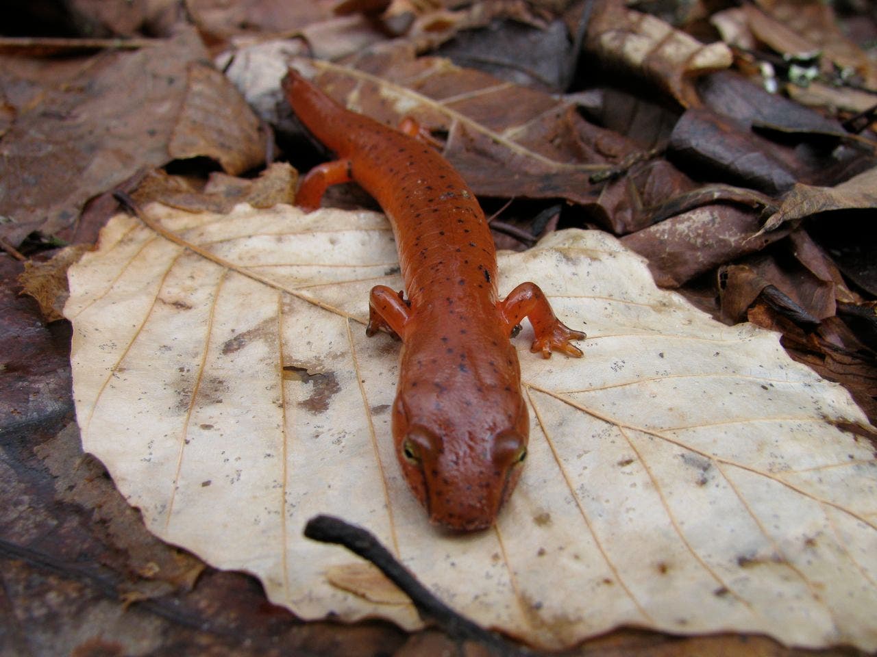
Salamander
Location: 35.493277, -83.835123
Look along the trail, near water, for little orange-colored salamanders.
Campsite 93
Location: 35.473551, -83.851772
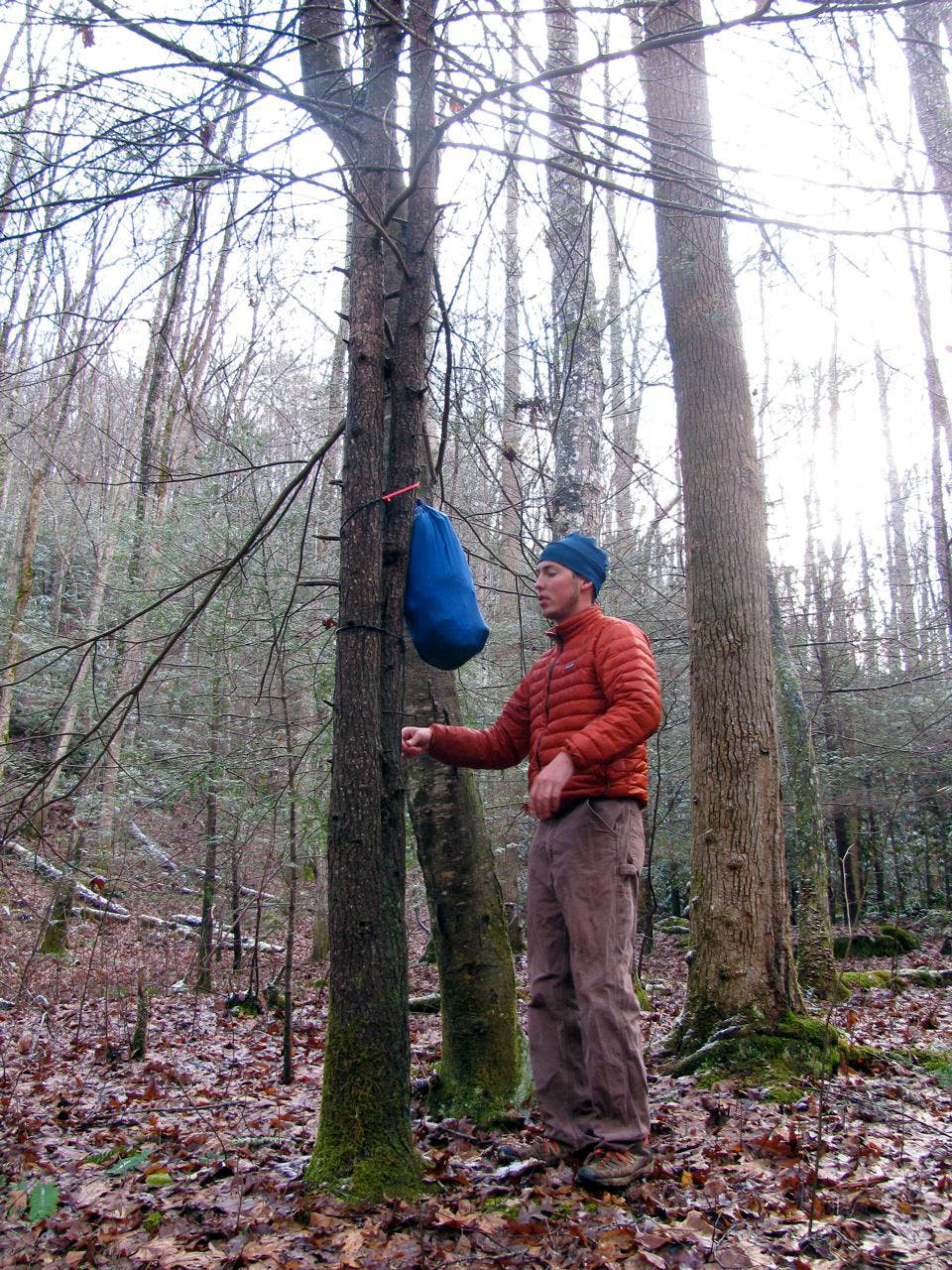
Bear Bag
Location: 35.473665, -83.851523
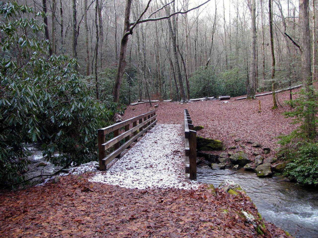
Bridge Crossing
Location: 35.473132, -83.851581
Twentymile Creek
Location: 35.499806, -83.833843
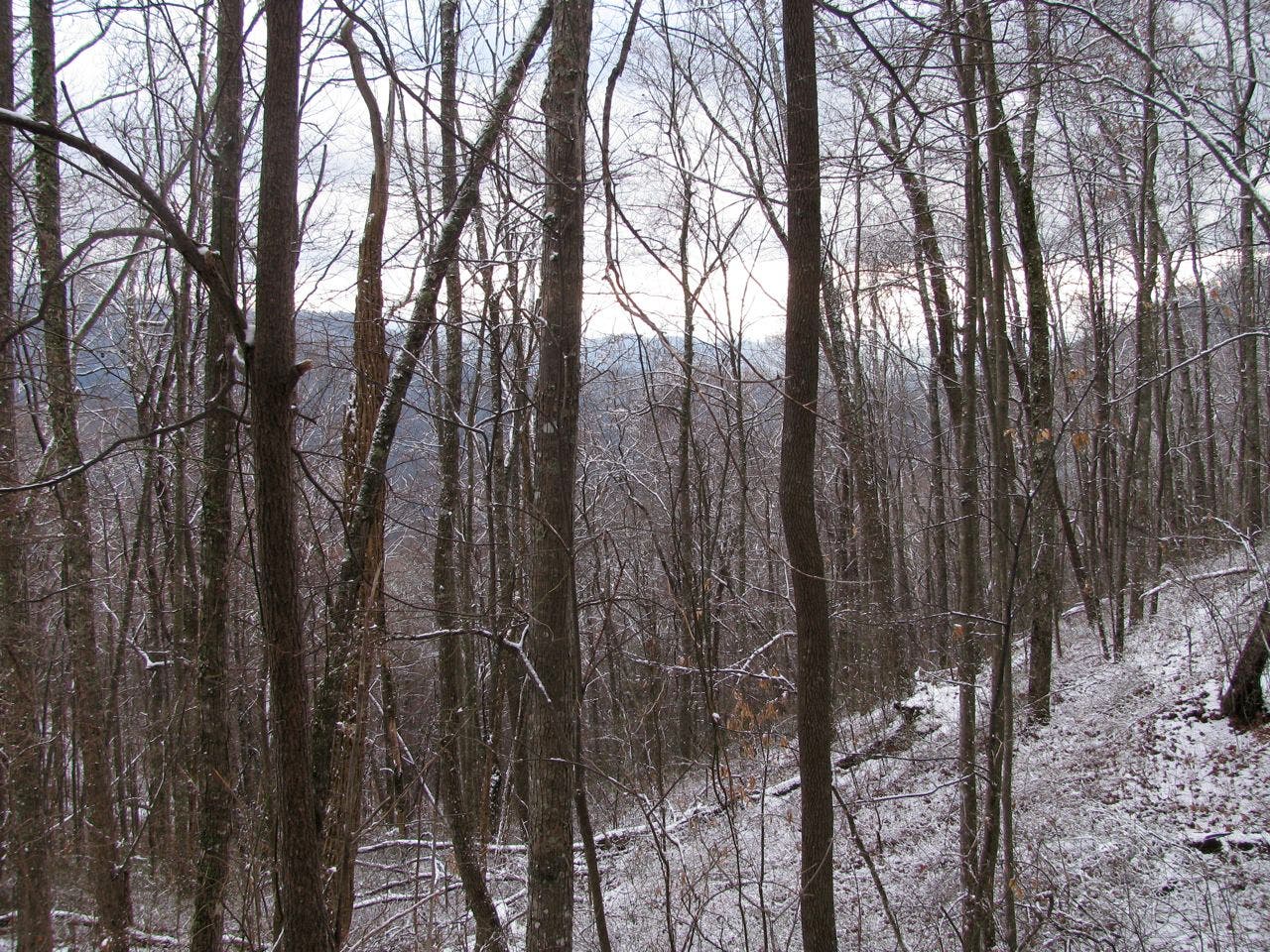
View from Long Hungry Ridge Trail
Location: 35.510671, -83.847012
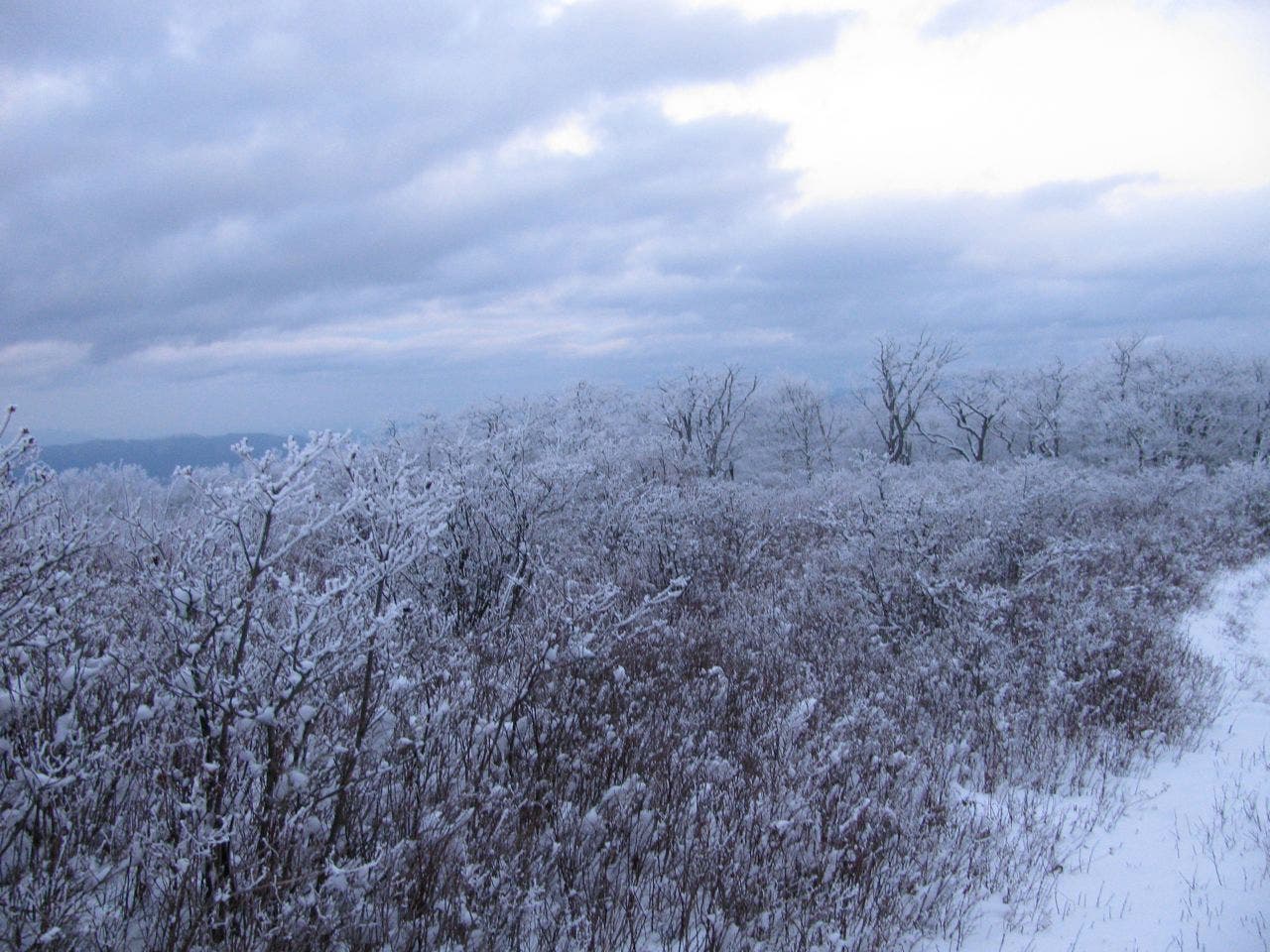
Approaching Gregory Bald
Location: 35.52084, -83.864437
View from Gregory Bald
Location: 35.520563, -83.865849
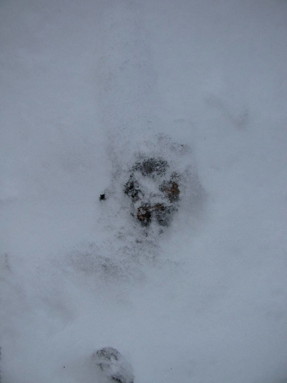
Snowy Tracks
Location: 35.520905, -83.860537
Campsite 13
Location: 35.520948, -83.872764
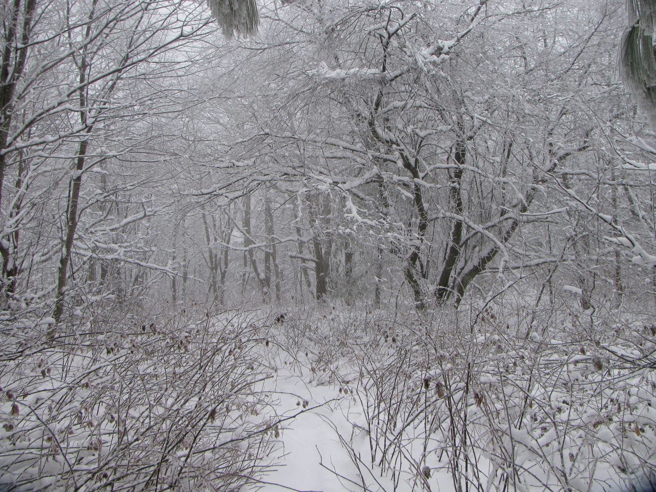
Descent from Campsite 13
Location: 35.519616, -83.875341