Great Smoky Mountains National Park: Tricorner Loop

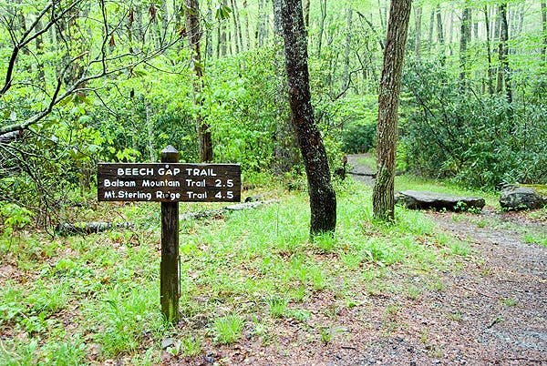
Departing from Round Bottom on the Beech Gap Trail; this 31-mile loop affords backpackers the opportunity to bag eight of the Carolina Mountain Club’s South Beyond 6,000 peaks (there are 40 total). But before you tag ‘em you’ll have to earn them; the first 3.3 miles of this trip gain over 2,500 feet of elevation to the Laurel Gap shelter. From here on out, the elevation profile is more moderate (with a few spikes on each of the summit climbs—which are all optional off trail out-and-backs).
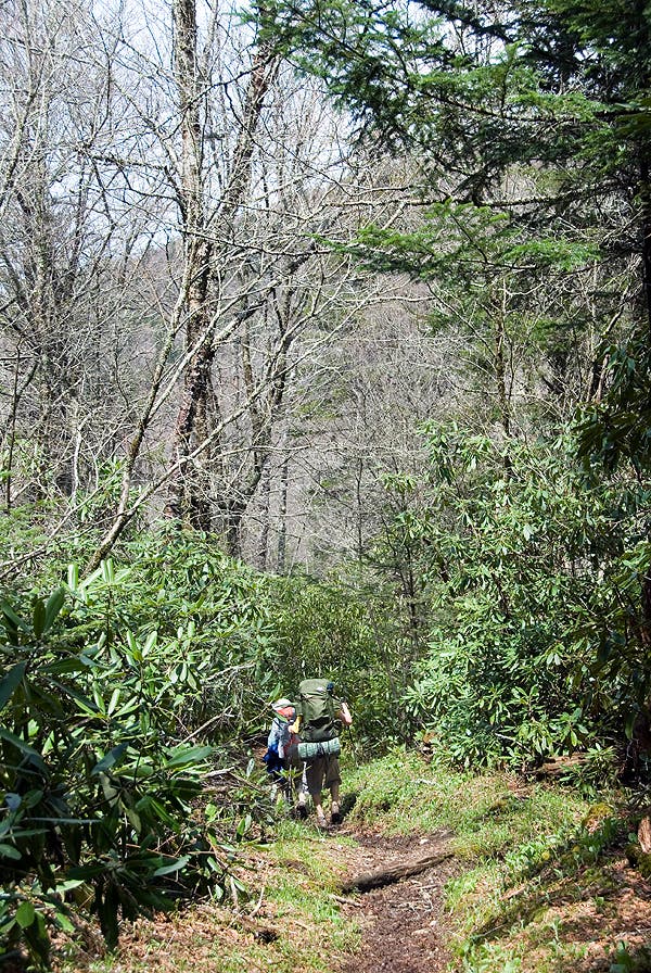
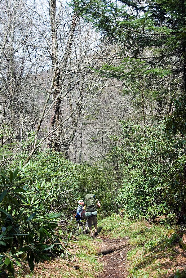
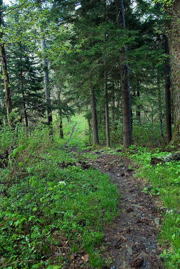
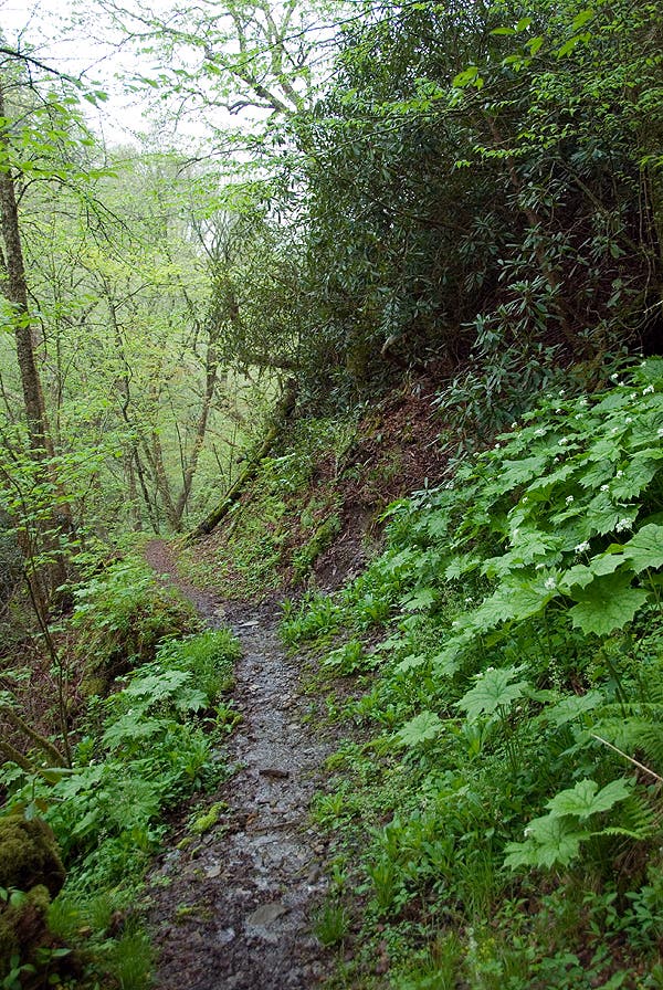
From Laurel Gap, head up to tag the Big Cataloochee Mountain summit or continue the counterclockwise loop as it treks along the Balsam Moutain Trail following a ridgeline through a mossy deciduous forest peppered with mountain laurel and rhododendron. 14 miles in, the route syncs with the Appalachian Trail (along the North Carolina/Tennessee border). Stop for the evening at the Tricorner Knob Shelter; the next day, backtrack north on the AT to tackle optional summit approaches to Tricorner Bald, Mount Guyot, and Old Black, or continue the loop heading southwest on the AT.
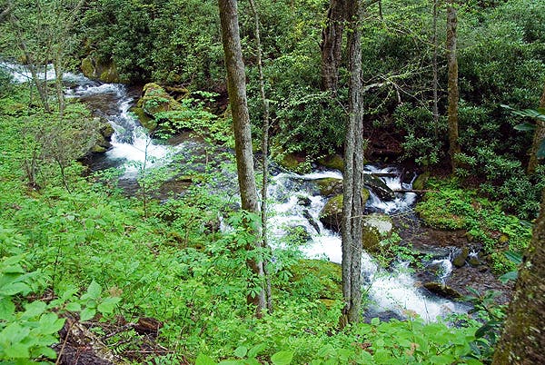
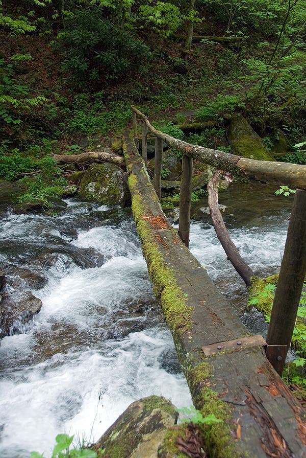
At Peck’s Corner, the route turns off the AT onto the Hughes Ridge Trail. Foolw that to the Enloe Creek Trail and consider spending another night in the Smokies along the creek at the Enloe Creek Shelter. From there, it’s 4 miles back to Round Bottom to finish the loop.
-Mapped by Scott Sanders, GroundedGraphics.com
PLAN IT
MAP
>> Trails llustrated Clingmans Dome/Cataloochee/Great Smoky Mountains NP ($10, natgeomaps.com)
>> View a map of the park at the Great Smoky Mountains National Park website.
>> Order the USGS topo quads listed above at store.usgs.gov.
>> Order a custom map of this route at MyTopo.com.
GUIDEBOOK: Hiking Trails of the Smokies ($21, smokiesstore.org) details all 150 maintained trails within the park.
PERMITS: Required when camping at a backcountry campsite or shelter (free, reserve up to one month before your trip and pick up in person). Backcountry reservation office: (865) 436-1231, nps.gov/grsm/planyourvisit/backcountry-camping.htm
CONDITIONS: Check weather at Gatlinburg, TN (37738) Weather
SEASON: The park is open year-round, and our trail scouts have hiked this route in every season. Check for road, trail, and camping closures at nps.gov/grsm/planyourvisit/temproadclose.htm. Curious about fall foliage? Check nps.gov/grsm/planyourvisit/fallcolor.htm.
PARK INFO: Great Smoky Mountains National Park, (865) 436-1200; nps.gov/grsm
SMOKIES TRIP PLANNER: nps.gov/grsm/planyourvisit/trip-planner.htm
OTHER RESOURCES
GAS
Shell Super Mart
376 Parkway
Gatlinburg, TN 37738
(865) 430-2161
Texaco
799 Tsali Blvd.
Cherokee, NC 28719
(828) 497-4539
GEAR
Nantahala Outdoor Center
13077 Highway 19 W
Bryson City, NC 28713
(888) 905-7238
noc.com
Blackrock Outdoor Co.
570 West Main St.
Sylva, NC
(828) 631-4453
Mast General Store
63 N. Main St.
Waynesville, NC 28786
(828) 452-2101
mastgeneralstore.com
Smoky Mountain Outfitters
469 Brookside Village Way
Gatlinburg, TN
(865) 430-2267
GROCERIES
Food City
1219 East Parkway
Gatlinburg, TN 37738
(865) 430-3116
Bearland General Store
305 Historic Nature Trail
Gatlinburg, TN
(865) 436-4565
Bradley’s Grocery
1699 Paint Town Rd.
Cherokee, NC 28719
(828) 497-9132
RESTAURANTS
Smoky Mountain Brewery
1004 Parkway # 501
Gatlinburg, TN 37738
coppercellar.com/Restaurant-SmokyMountainBrewery.html
Best Italian Cafe & Pizzeria
968 Parkway # 9
Gatlinburg, TN 37738
(865) 430-4090
bestitalian.com
Granny’s Kitchen
1098 Paint Town Rd.
Cherokee, NC 28719
(828) 497-5010
Peter’s Pancakes and Waffles
1384 Tsali Blvd.
Cherokee, NC
(828) 497-5116
Trail Facts
- Distance: 49.6
Waypoints
TRC001
Location: 35.624109, -83.211394
Begin hiking north on the Beech Gap Trail, and just ahead bear right at the first 3-way junction. The route begins climbing immediately, gaining 3,000 feet over the next 5 miles up to Big Cataloochee Mountain.
TRC002
Location: 35.646361, -83.202068
Turn left @ 3-way junction onto the Balsam Mountain Trail; the route continues a stiff climb toward Laurel Gap.
TRC003
Location: 35.66537, -83.18777
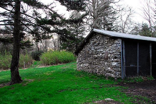
Arrive at the Laurel Gap shelter; after 2,600 feet of climbing you may be ready for a break. The Balsam Mountain Trail continues heading northeast.
TRC004
Location: 35.667355, -83.186464
To tack on a 2-mile out-and-back bushwhack up to Big Cataloochee Mountain, turn right. Otherwise, turn left to head northwest and continue the loop.
TRC005
Location: 35.667432, -83.18034
Turn left off trail to head uphill for the Big Catahoochee summit.
TRC006
Location: 35.67223, -83.175781
Tag Big Cataloochee Mountain, a South Beyond 6,000 summit and then backtrack to waypoint 4 to continue the counterclockwise loop.
TRC007
Location: 35.677726, -83.191896
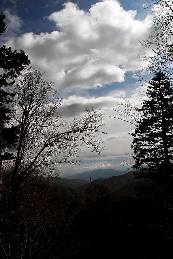
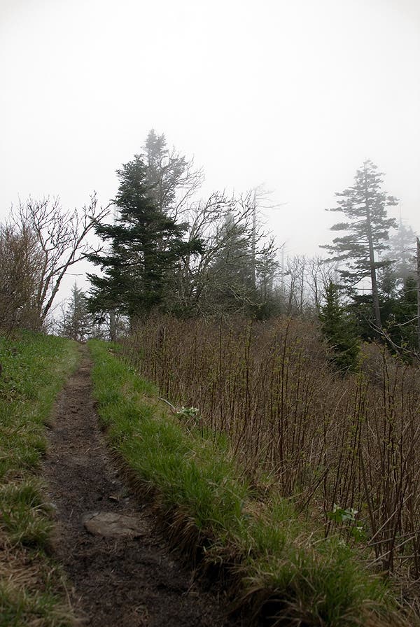
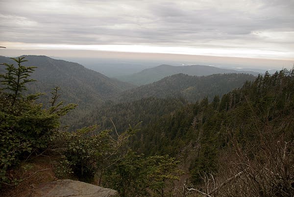
Turn left @ 3-way junction to continue hiking the Balsam Mountain Trail along the ridgeline. The views on this stretch are better than what you’ll get atop many of the wooded summits on this trek.
TRC008
Location: 35.689878, -83.213977
A right turn off the trail leads up to Luftee Knob, another 6,000-foot summit. Tackle the .4-mile detour or continue northwest along the Balsam Mountain Trail.
TRC009
Location: 35.69269, -83.2151
Luftee Knob: Tag the summit and then backtrack to waypoint 8 to continue northwest on the Balsam Mountain Trail.
TRC010
Location: 35.691183, -83.248862
To tackle a burly 2.1-mile off-trail out-and back to Mark’s Knob, turn left at this 3-way intersection. Otherwise, continue bearing right to head toward the Tricorner Knob Shelter.
TRC011
Location: 35.679888, -83.248515
The third 6,000-foot summit of the trip.
TRC012
Location: 35.694456, -83.256534
Turn left @ 3-way intersection onto the white-blazed Appalachian Trail as it follows the North Carolina/Tennessee border. From here, the top of Tricorner Knob is accessible via a .3-mile, off-trail route to waypoint 13. Turning right at this junction follows the optional 5.3-mile detour to tag Mount Guyot and Old Black (two more 6,000-foot summits).
TRC013
Location: 35.695722, -83.254363
Tricorner Knob summit.
TRC014
Location: 35.693663, -83.257217
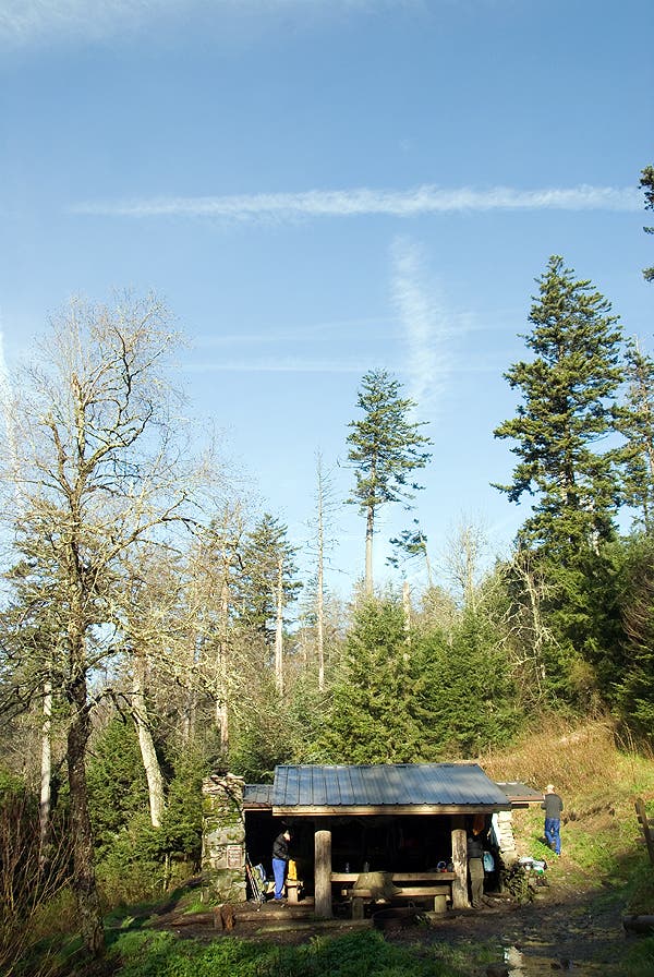
Turn left off the AT for a short walk to the Tricorner Knob Shelter
TRC015
Location: 35.693918, -83.256721
The Tricorner Knob Shelter.
TRC016
Location: 35.687871, -83.268728
A right turn off of the trail heads up a short, steep climb to the top of Mountain Chapman (waypoint 17).
TRC017
Location: 35.686808, -83.271098
Mount Chapman: Another 6,000-foot off-trail summit. Backtrack to waypoint 16 to continue the loop.
TRC018
Location: 35.67462, -83.283692
The Top of Mount Sequoyah is about 15 feet to the north of the trail in a beaten down spot.
TRC019
Location: 35.655249, -83.308426
Turn left on the Hughes Ridge Trail @ the 3-way intersection at Pecks Corner. The Appalachian Trail continues to the right.
TRC020
Location: 35.629691, -83.30473
Turn left @ 3-way junction to continue along the Hughes Ridge Trail
TRC021
Location: 35.60878, -83.281345
Turn left onto the Enloe Creek Trail at this 3-way intersection.
TRC022
Location: 35.609912, -83.254952
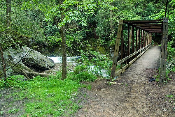
Cross the creek and continue past the Enloe Creek Campground.
TRC023
Location: 35.612875, -83.24301
Turn right @ 3-way junction to continue on the Enloe Creek Trail.
TRC024
Location: 35.608685, -83.223307
Turn left on the gravel road and continue another 1.5 miles back to the Beech Gap Trailhead.
Beech Gap Trailhead
Location: 35.624652, -83.211865
Beech Gap Trail
Location: 35.63986, -83.206158
Balsam Mountain Trail
Location: 35.661899, -83.191352
Below Balsam High Top
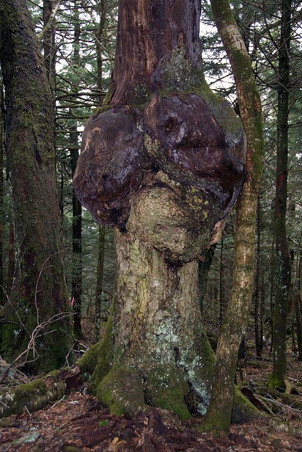
Heart-Shaped Tree
Location: 35.670197, -83.176932
Laurel Gap Shelter
Location: 35.665664, -83.187447
Looking Northwest from Laurel Gap
Location: 35.664828, -83.188648
Balsam Mountain Trail
Location: 35.679331, -83.19706
Tricorner Knob Shelter
Location: 35.693933, -83.256704
The Appalachian Trail
Location: 35.686546, -83.269157
Copper Gap View
Location: 35.668907, -83.291216
Looking across the Smokies at Copper Gap
Hughes Ridge Trail
Location: 35.643487, -83.30718
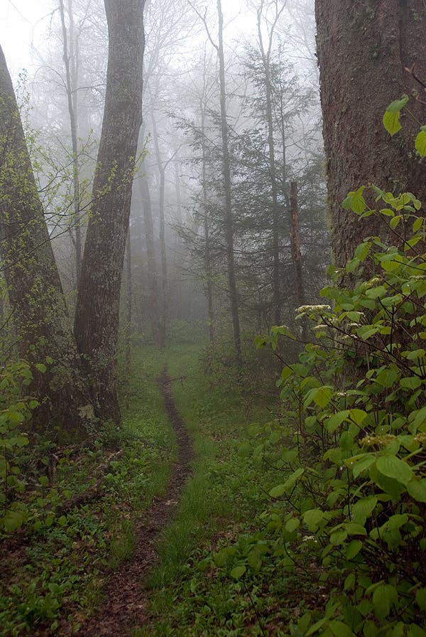
Smokies Fog
Location: 35.633023, -83.306022
Enloe Creek Trail
Location: 35.616279, -83.272934
Enloe Creek
Location: 35.612651, -83.264394
Crossing Enloe Creek
Location: 35.613872, -83.269887
Bridge Crossing
Location: 35.610488, -83.255682