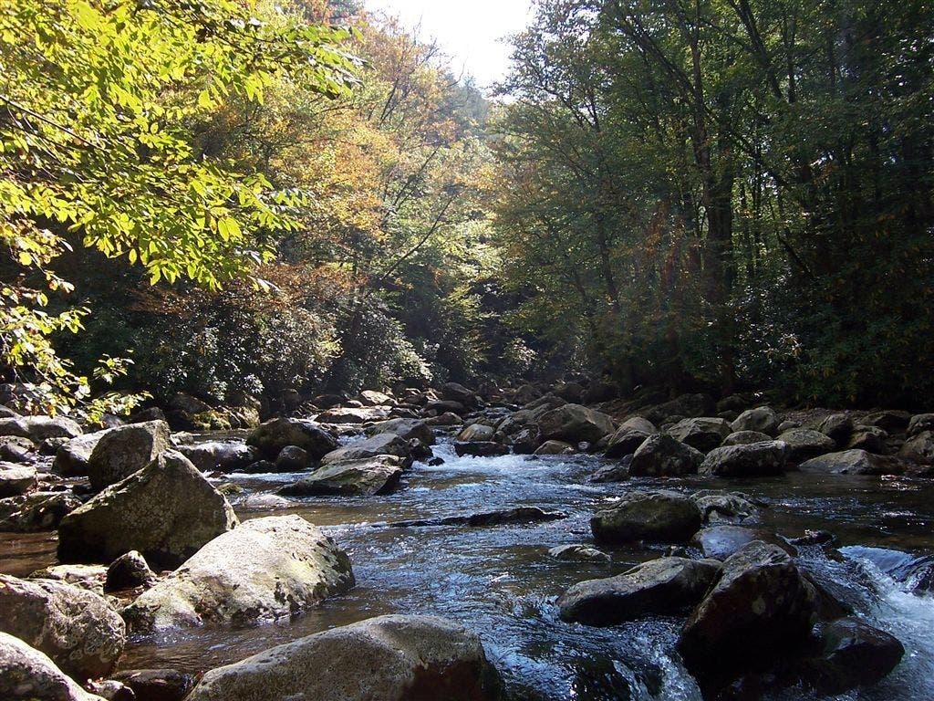
Great Smoky Mountains National Park: Ramsay Cascades

-Mapped by Tim Johnson
PLAN IT
MAP
>> Trails llustrated Clingmans Dome/Cataloochee/Great Smoky Mountains NP ($10, natgeomaps.com)
>> View a map of the park at the Great Smoky Mountains National Park website.
>> Order the USGS topo quads listed above at store.usgs.gov.
>> Order a custom map of this route by selecting the “Print MyTopo” option.
GUIDEBOOK: Hiking Trails of the Smokies ($21, smokiesstore.org) details all 150 maintained trails within the park.
PERMITS: Required when camping at a backcountry campsite or shelter (free, reserve up to one month before your trip and pick up in person). Backcountry reservation office: (865) 436-1231, nps.gov/grsm/planyourvisit/backcountry-camping.htm
CONDITIONS: Check weather at Gatlinburg, TN (37738) Weather
SEASON: The park is open year-round, and our trail scouts have hiked this route in every season. Check for road, trail, and camping closures at nps.gov/grsm/planyourvisit/temproadclose.htm. Curious about fall foliage? Check nps.gov/grsm/planyourvisit/fallcolor.htm.
PARK INFO: Great Smoky Mountains National Park, (865) 436-1200; nps.gov/grsm
SMOKIES TRIP PLANNER: nps.gov/grsm/planyourvisit/trip-planner.htm
OTHER RESOURCES
GAS
Shell Super Mart
376 Parkway
Gatlinburg, TN 37738
(865) 430-2161
Texaco
799 Tsali Blvd.
Cherokee, NC 28719
(828) 497-4539
GEAR
Nantahala Outdoor Center
13077 Highway 19 W
Bryson City, NC 28713
(888) 905-7238
noc.com
Blackrock Outdoor Co.
570 West Main St.
Sylva, NC
(828) 631-4453
Mast General Store
63 N. Main St.
Waynesville, NC 28786
(828) 452-2101
mastgeneralstore.com
Smoky Mountain Outfitters
469 Brookside Village Way
Gatlinburg, TN
(865) 430-2267
GROCERIES
Food City
1219 East Parkway
Gatlinburg, TN 37738
(865) 430-3116
Bearland General Store
305 Historic Nature Trail
Gatlinburg, TN
(865) 436-4565
Bradley’s Grocery
1699 Paint Town Rd.
Cherokee, NC 28719
(828) 497-9132
RESTAURANTS
Smoky Mountain Brewery
1004 Parkway # 501
Gatlinburg, TN 37738
coppercellar.com/Restaurant-SmokyMountainBrewery.html
Best Italian Cafe & Pizzeria
968 Parkway # 9
Gatlinburg, TN 37738
(865) 430-4090
bestitalian.com
Granny’s Kitchen
1098 Paint Town Rd.
Cherokee, NC 28719
(828) 497-5010
Peter’s Pancakes and Waffles
1384 Tsali Blvd.
Cherokee, NC
(828) 497-5116

Trail Facts
- Distance: 11.8
Waypoints
RMC001
Location: 35.702875, -83.357649
Cross the roaring Middle Prong of the Little Pigeon River on sturdy footbridge; head upstream past crested dwarf iris (spring) or goldenrods (late summer and fall)
RMC002
Location: 35.704443, -83.346448
Trail rises slightly above the creek along hillsides littered with boulders
RMC003
Location: 35.702997, -83.333874
Come to old roadbed; trail tunnels through rhododendron and mountain laurel, following Ramsay Prong
RMC004
Location: 35.706883, -83.325183
Cross footbridge over boulder-strewn creekbed; Greenbriar Pinnacle rises above to the N
RMC005
Location: 35.708643, -83.321428
Partridge berry lines the ground beneath black cherry trees and Canadian hemlocks
RMC006
Location: 35.70866, -83.320084
Two giant poplars stand guard before massive 7-ft.-diameter poplar, one of the park’s largest trees. These old-growth specimens were saved when the park service acquired the property from Champion Fiber Co.
RMC007
Location: 35.709148, -83.314519
Cross Ramsay Prong
RMC008
Location: 35.709721, -83.309883
Bell-like white flowers hang from silverbell trees
RMC009
Location: 35.708389, -83.300308
Ramsay Cascades tumbles 90 ft. over terraced rocks from the slopes of Mt. Guyot (6,621 ft.). Scramble around pools before retracing route to trailhead
Ramsay Prong of the Little Pigeon River
Location: 35.702945, -83.333509
©Tim Johnson