Great Smoky Mountains National Park: Porters Creek Trail

This 7.4-mile out-and-back is a great place to look for some of the 30 salamander species that live in the park. (Peek in small pools to find them.) From the Brushy Mountain Trail, hike 1.6 miles through yellow trillium to a wooden footbridge, looking to your left for mayapple with leaves like green umbrellas. Wild geranium carpet the hardwood slopes, and the tiny blue petals of wild stonecrop cover mossy boulders.
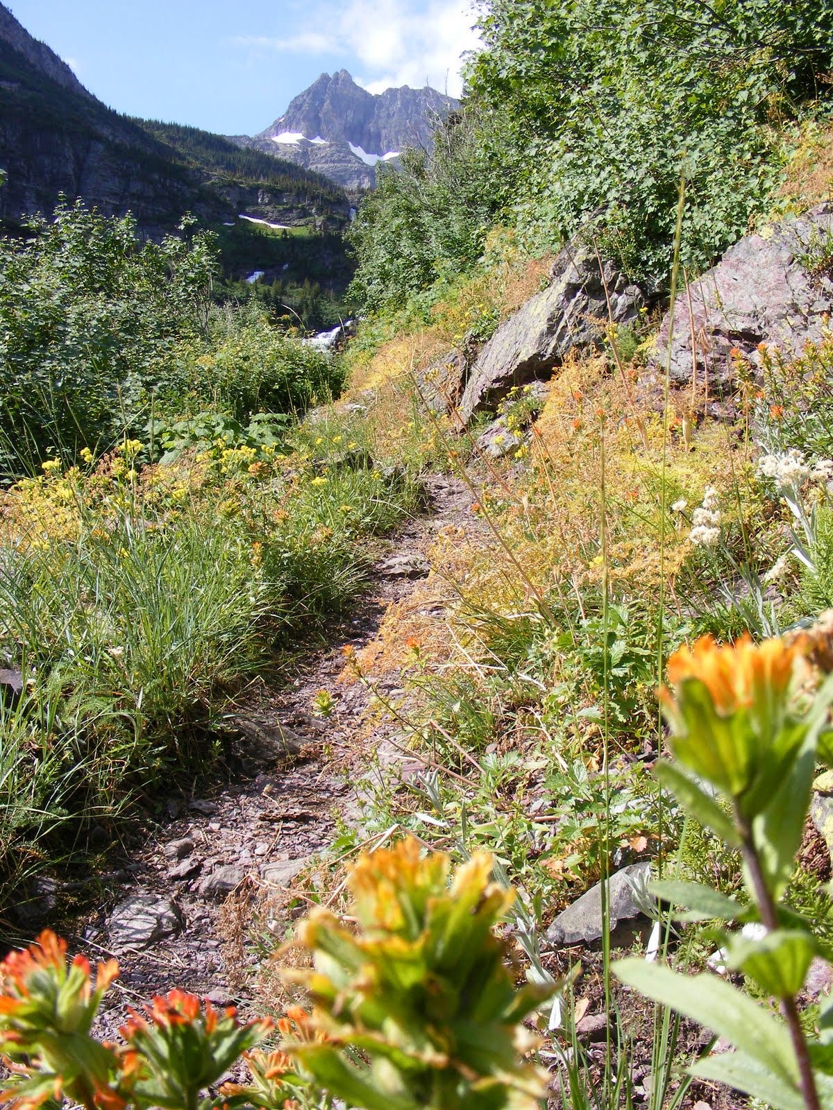
At mile 1, turn right at a 3-way junction for a quick side trip to an historic farm site at Porters Flat. Return to this intersection and turn right to continue up Porters Creek. Roughly 2 miles later, you’ll find wildflower nirvana in a blanket of white trillium. At mile 3.7, turn around at backcountry campsite 31, a spacious plot with a fire ring and stream, and retrace your route to the trailhead.
-Mapped by Marcus Woolf
PLAN IT
MAP
>> Trails llustrated Clingmans Dome/Cataloochee/Great Smoky Mountains NP ($10, natgeomaps.com)
>> View a map of the park at the Great Smoky Mountains National Park website.
>> Order the USGS topo quads listed above at store.usgs.gov.
>> Order a custom map of this route at MyTopo.com.
GUIDEBOOK: Hiking Trails of the Smokies ($21, smokiesstore.org) details all 150 maintained trails within the park.
PERMITS: Required when camping at a backcountry campsite or shelter (free, reserve up to one month before your trip and pick up in person). Backcountry reservation office: (865) 436-1231, nps.gov/grsm/planyourvisit/backcountry-camping.htm
WHEN TO GO: April and May are best for wildflower blooms, while fall, with its brilliantly colored leaves, is drier.
CONDITIONS: Check weather at Gatlinburg, TN (37738) Weather
SEASON: The park is open year-round, and our trail scouts have hiked this route in every season. Check for road, trail, and camping closures at nps.gov/grsm/planyourvisit/temproadclose.htm. Curious about fall foliage? Check nps.gov/grsm/planyourvisit/fallcolor.htm.
PARK INFO: Great Smoky Mountains National Park, (865) 436-1200; nps.gov/grsm
SMOKIES TRIP PLANNER: nps.gov/grsm/planyourvisit/trip-planner.htm
OTHER RESOURCES
GAS
Shell Super Mart
376 Parkway
Gatlinburg, TN 37738
(865) 430-2161
Texaco
799 Tsali Blvd.
Cherokee, NC 28719
(828) 497-4539
GEAR
Nantahala Outdoor Center
13077 Highway 19 W
Bryson City, NC 28713
(888) 905-7238
noc.com
Blackrock Outdoor Co.
570 West Main St.
Sylva, NC
(828) 631-4453
Mast General Store
63 N. Main St.
Waynesville, NC 28786
(828) 452-2101
mastgeneralstore.com
Smoky Mountain Outfitters
469 Brookside Village Way
Gatlinburg, TN
(865) 430-2267
GROCERIES
Food City
1219 East Parkway
Gatlinburg, TN 37738
(865) 430-3116
Bearland General Store
305 Historic Nature Trail
Gatlinburg, TN
(865) 436-4565
Bradley’s Grocery
1699 Paint Town Rd.
Cherokee, NC 28719
(828) 497-9132
RESTAURANTS
Smoky Mountain Brewery
1004 Parkway # 501
Gatlinburg, TN 37738
coppercellar.com/Restaurant-SmokyMountainBrewery.html
Best Italian Cafe & Pizzeria
968 Parkway # 9
Gatlinburg, TN 37738
(865) 430-4090
bestitalian.com
Granny’s Kitchen
1098 Paint Town Rd.
Cherokee, NC 28719
(828) 497-5010
Peter’s Pancakes and Waffles
1384 Tsali Blvd.
Cherokee, NC
(828) 497-5116


Trail Facts
- Distance: 11.9
Waypoints
WPT001
Location: 35.696833, -83.388017
From the trailhead, hike south on Porters Creek Trail. Potato Ridge rises on the right-hand (north) side of the trail.
WPT002
Location: 35.690067, -83.395994
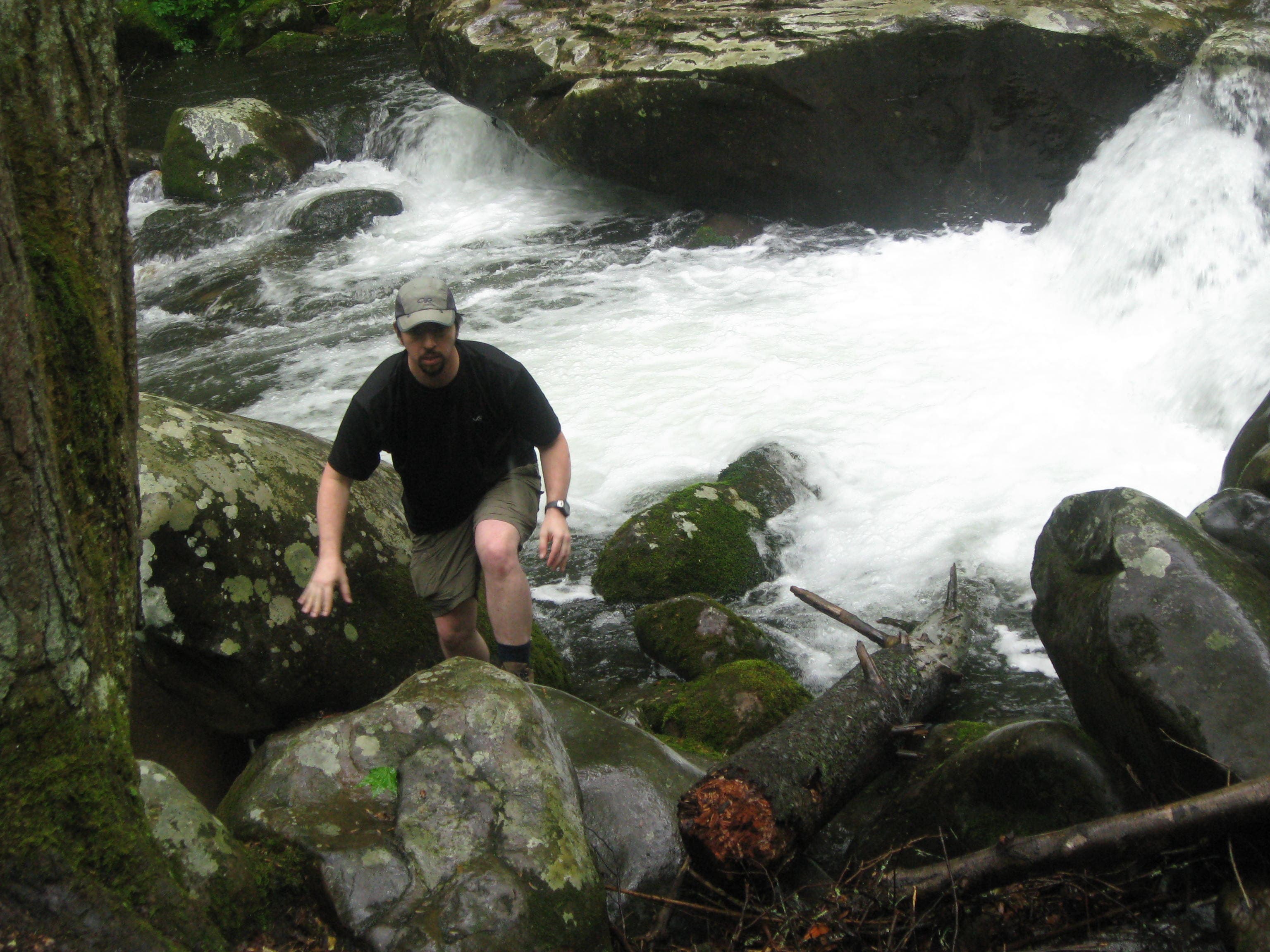
The trail swing south. Cross Long Branch and continue south along Porters Creek.
WPT003
Location: 35.687666, -83.398091
Bear right to visit a historic farm site and the Great Smoky Mountains Hiking Club Cabin. See this: For a two-week period in mid-June, male Photinus carolinus fireflies (one of the park’s 14 firefly species) synchronize their flashes for mating season. Find a clearing around Porters Flat to observe clouds of fireflies blinking in unison. Watch closely: The short bursts of synchronous lights form distinct patterns, which vary among the species. Target your arrival to Porters Flat for 9 p.m.
WPT004
Location: 35.687427, -83.399116
Check out the historic farm site. Next, backtrack to WPT 3, and turn right, following Porters Creek.
WPT005
Location: 35.680882, -83.397158
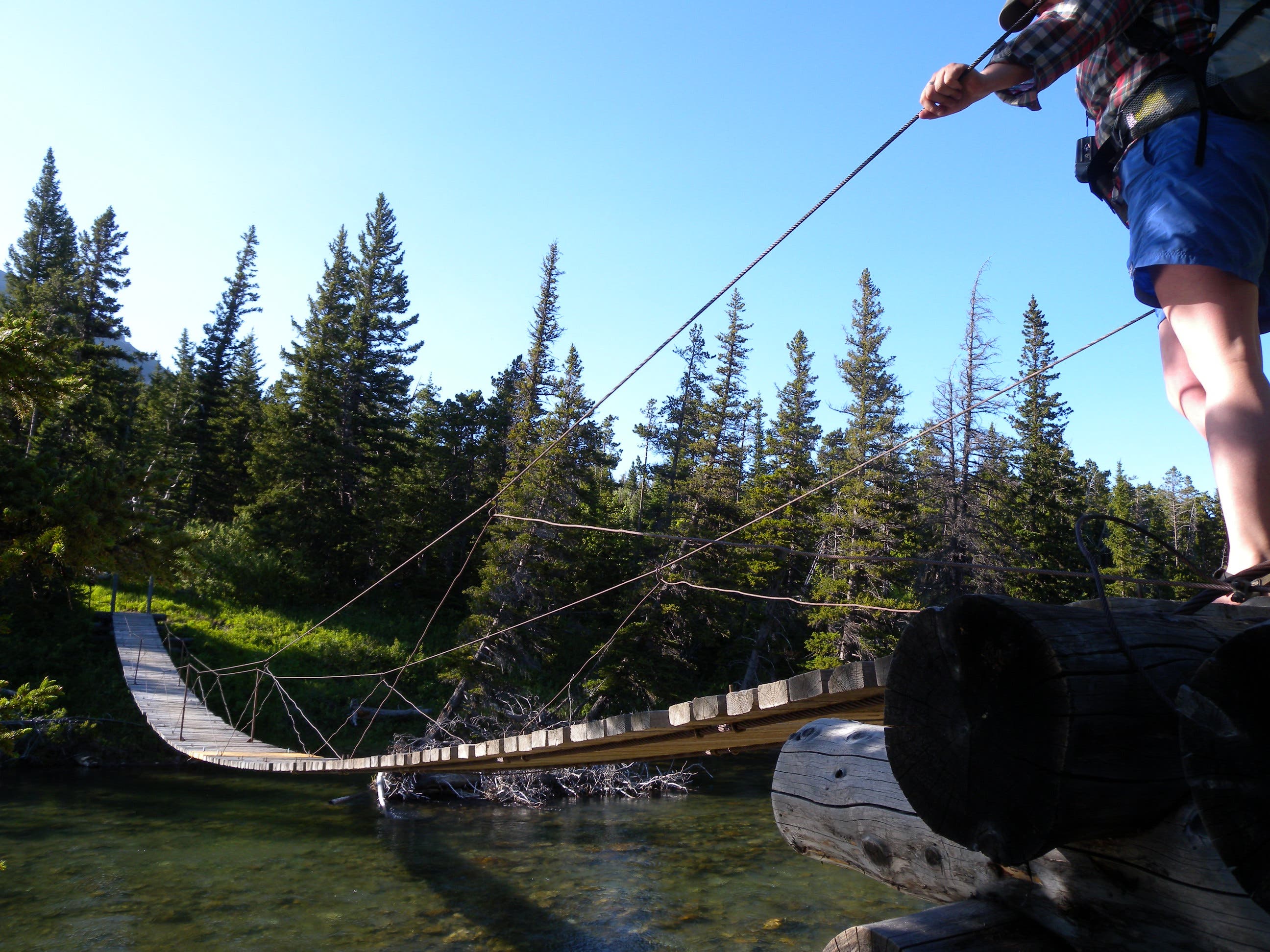
Cross the creek on a log bridge.
WPT006
Location: 35.676679, -83.397155
Pass a waterfall on the left side of the trail.
WPT007
Location: 35.669552, -83.396423
The route curves to the southeast and continues to climb along Porters Creek.
WPT008
Location: 35.659916, -83.379718
Turn around at campsite 31, a spacious plot tucked below Porters Mountain with a fire ring and stream (permit required). Follow the same route back to the trailhead.
Whitewater Rapids
Location: 35.690084, -83.395758
Bridge
Location: 35.680882, -83.397077
Wildflowers
Location: 35.668767, -83.392818