Clingmans Dome Trail via Appalachian Trail

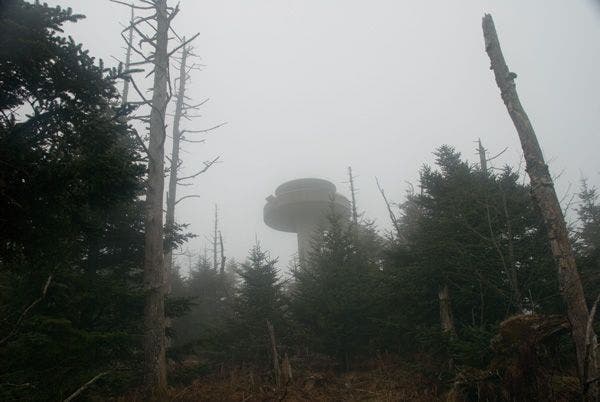
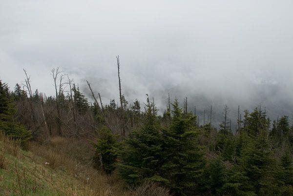
The Appalachian Trail or the Amazon Rainforest? [Photo by Scott Sanders]
Clingmans Dome in Great Smoky Mountains National Park holds highpoint status for three spots: the national park it calls home, Tennessee, and the Appalachian Trail. At 6,643 feet Clingmans Dome offers extensive and stunning views from its peak, but visitors can also hike the Clingmans Dome Trail, a steep ½-miler to the top of the Clingmans Dome observation tower for views that stretch up to 100 miles and across seven states on a clear day. Even though you can drive to the top of Clingmans Dome, it’s more rewarding to hike the 8.3 miles from Newfound Gap along the Appalachian Trail to the tower (just park a car at the tower’s parking lot and shuttle back to the Newfound Gap trailhead). For the best photo ops, time your arrival at the tower for sunrise or sunset.
Trail Facts
Distance: 8.3 miles one way
Elevation: 2,796 feet
Difficulty: Challenging
Permits: Yes, when camping at a backcountry campsite or shelter
The Route
Starting at the Newfound Gap Trailhead, follow the Appalachian Trail up and over Mount Collins to the summit of Clingmans Dome.
-Mapped by Scott Sanders
Newfound Gap Trailhead on the Appalachian Trail to Clingmans Dome Trail

Start at the Newfound Gap Trailhead and follow the Appalachian Trail southwest along a ridgeline traverse. The trail gradually ascends the ridge through a spruce-fir forest, which gives the trail a rainforest feel on wet days. Since this section of the AT basically parallels the Clingmans Dome road, cars can occasionally be heard close by, but not often enough to ruin the hiking experience.
Continue straight at the 3-way junction past the trail intersection with Chimney Top. Go left at the following T-junction to continue on the Appalachian Trail. On your right, you’ll find a trail that heads north for a short distance to the Mount Collins Shelter—a good stopping point for thru-hikers who want arrive at the observation tower at sunrise.
Approach the broad, tree-covered summit of 6,118-foot Mount Collins, one of the South Beyond 6,000 peaks. You won’t need to spend too much time here as views here are limited. Continue on through lush landscapes past a mix of young spruce-firs, dead and decaying trees, and moss and lichen that blanket the wet undergrowth.
When you reach Clingmans Dome, hike past the base of the tower. This summit is the second highest point east of the Mississippi, and the highest point on the Appalachian Trail. Climb the 54-foot tower for 100-mile views of seven states on clear days. On cloudy days, you won’t be able to see the ground below the 54-foot tower.
Clingmans Dome Trail to Newfound Gap Trailhead

Next, continue straight and turn left at the Y-junction ahead to descend back toward the parking lot, following the wide, paved trail lined with benches for a half mile. From here, either jump in your car and shuttle back to the Newfound Gap Trailhead or begin the second half of your hike back the same way you came.